Lowertown Moor
Downs, Moorland in Cornwall
England
Lowertown Moor
The requested URL returned error: 429 Too Many Requests
If you have any feedback on the listing, please let us know in the comments section below.
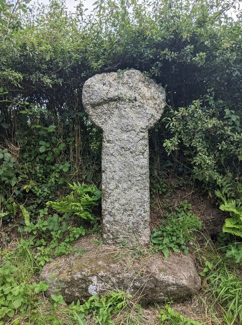
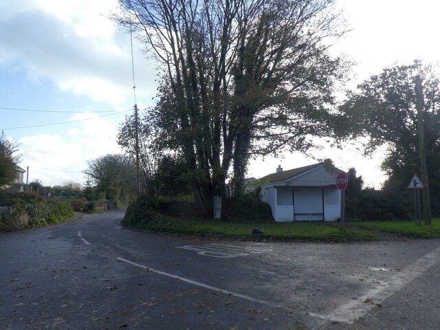
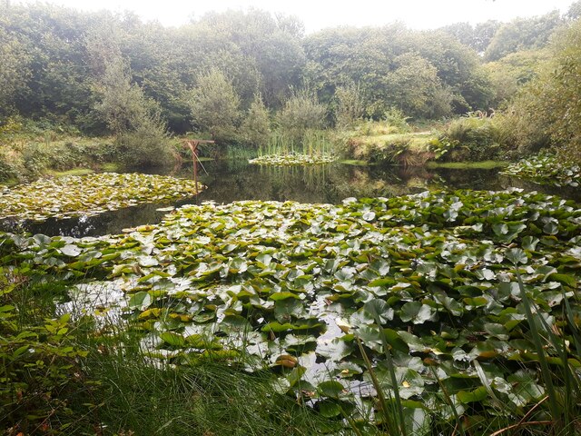
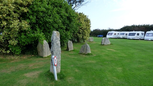
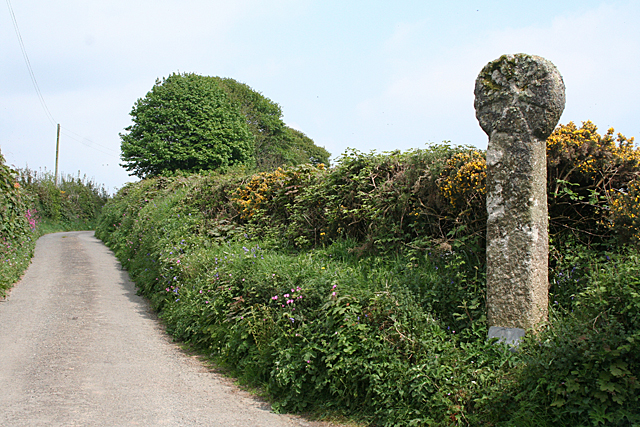
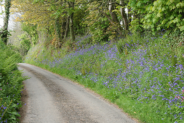
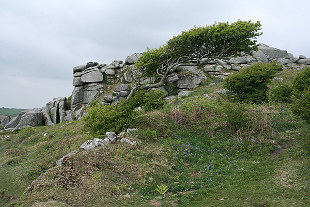
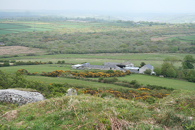
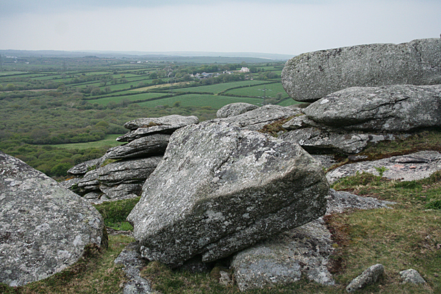
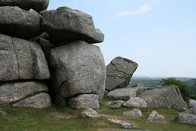
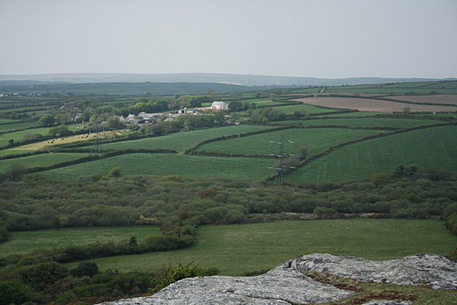
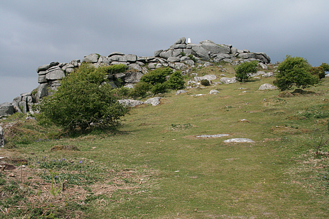
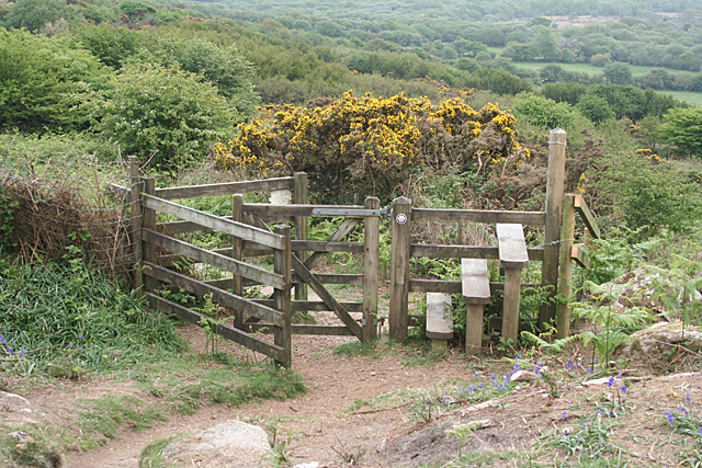
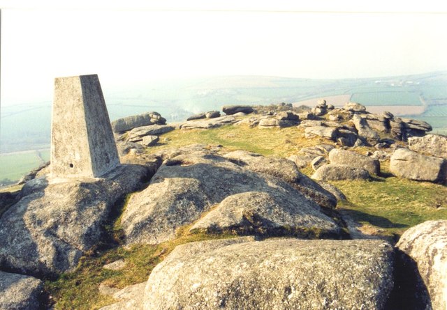
Lowertown Moor Images
Images are sourced within 2km of 50.420068/-4.7458841 or Grid Reference SX0561. Thanks to Geograph Open Source API. All images are credited.
Lowertown Moor is located at Grid Ref: SX0561 (Lat: 50.420068, Lng: -4.7458841)
Unitary Authority: Cornwall
Police Authority: Devon and Cornwall
What 3 Words
///crinkled.magnitude.unpacked. Near Bugle, Cornwall
Nearby Locations
Related Wikis

Lowertown, Luxulyan
Lowertown is a hamlet in the civil parish of Luxulyan, where the population in the 2011 census was included, in Cornwall, England. Lowertown is approximately...

Breney Common
Breney Common is a nature reserve and Site of Special Scientific Interest, noted for its biological characteristics, in mid Cornwall, England, UK. It is...

Bokiddick
Bokiddick is a hamlet in Cornwall, England, United Kingdom. It is approximately one mile south of Lanivet at grid reference SX 051 622 and is centred on...
Corgee, Cornwall
Corgee (Cornish: Komm) is a hamlet in Cornwall, England, United Kingdom. It is situated approximately two miles (3 km) south of Lanivet. == References ==
Nearby Amenities
Located within 500m of 50.420068,-4.7458841Have you been to Lowertown Moor?
Leave your review of Lowertown Moor below (or comments, questions and feedback).