Lowertown

Settlement in Devon West Devon

England

Lowertown

View over a gate - with benchmark There is a fine view over fields to higher ground beyond, south of the square. There is a benchmark on the right-hand stone gatepost. Awkwardly, it's on the hinge side of the post <a href="https://www.geograph.org.uk/photo/7045781">SX4683 : Benchmark on a gatepost</a>.
View over a gate - with benchmark Credit: Neville Goodman

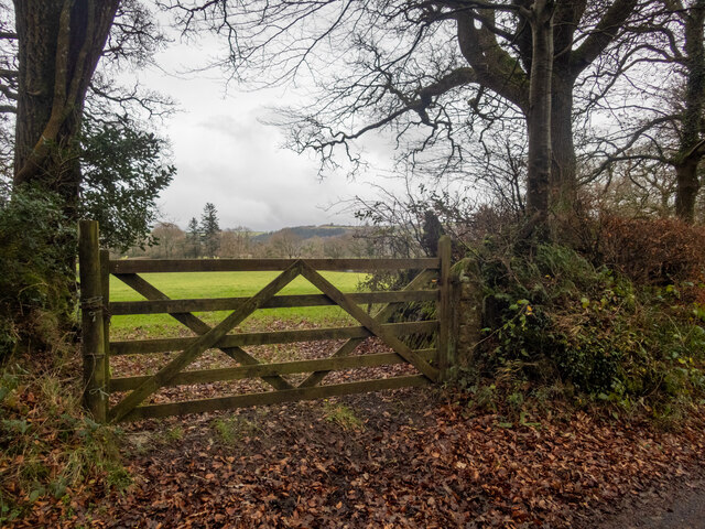
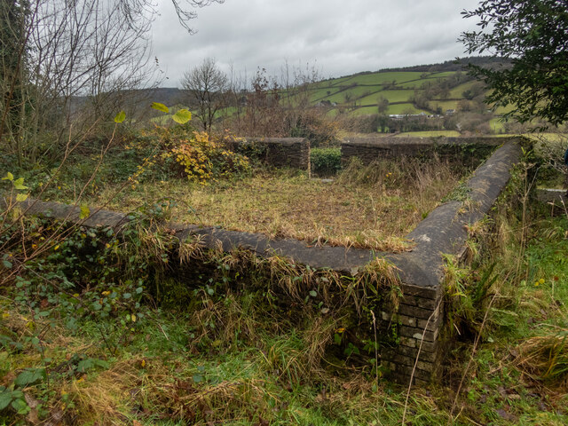
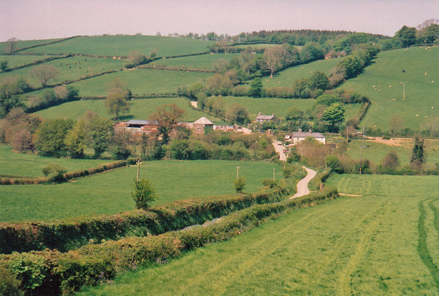
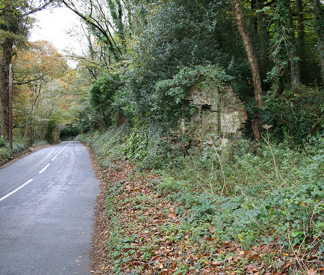
Lowertown is a small village located in Devon, a county in South West England. Situated in a picturesque valley, this idyllic rural settlement is known for its stunning natural beauty and tranquil atmosphere. The village is nestled amidst rolling hills and lush green fields, providing residents and visitors with breathtaking panoramic views.

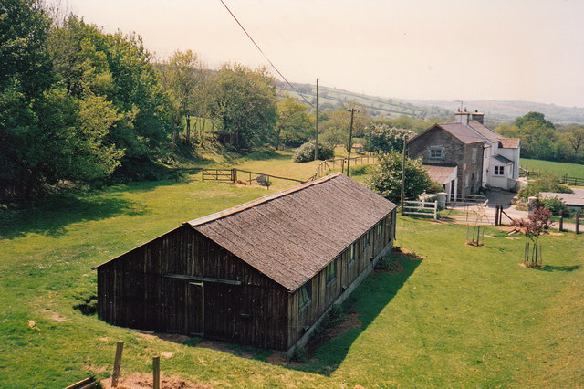
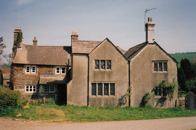
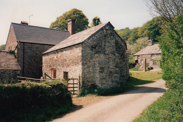
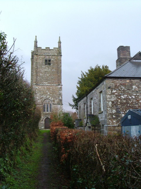
With a population of around 500, Lowertown has a close-knit community where residents enjoy a peaceful and relaxed lifestyle. The village primarily comprises traditional stone houses and cottages, giving it a charming and quaint feel. The architecture reflects the region's rich history and heritage.

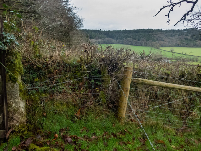
Lowertown is blessed with an abundance of outdoor recreational opportunities. The surrounding countryside offers numerous walking and cycling trails, allowing residents to explore the stunning landscapes and enjoy the fresh air. The village is also home to a number of picturesque picnic spots and scenic viewpoints.

While Lowertown is predominantly a residential area, it does offer a few amenities for its residents. There is a small village shop that caters to basic needs, and a local pub where residents can unwind and socialize. For more extensive shopping and entertainment options, residents can easily access nearby towns and cities.

In summary, Lowertown, Devon is a charming village that offers a serene and picturesque setting for its residents. With its stunning natural landscapes and close-knit community, it is an ideal place for those seeking a peaceful and idyllic countryside lifestyle.

If you have any feedback on the listing, please let us know in the comments section below.
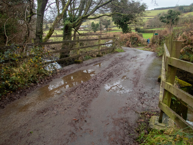
Lowertown Images

Images are sourced within 2km of 50.637995/-4.175711 or Grid Reference SX4684. Thanks to Geograph Open Source API. All images are credited.

View over a gate - with benchmark There is a fine view over fields to higher ground beyond, south of the square. There is a benchmark on the right-hand stone gatepost. Awkwardly, it's on the hinge side of the post <a href="https://www.geograph.org.uk/photo/7045781">SX4683 : Benchmark on a gatepost</a>.
View over a gate - with benchmark
There is a fine view over fields to higher ground beyond, south of the square. There is a benchmark on the right-hand stone gatepost. Awkwardly, it's on the hinge side of the post SX4683 : Benchmark on a gatepost.
Benchmark on a gatepost Not the easiest to get at, being on the hinge side of the gatepost <a href="https://www.geograph.org.uk/photo/7045779">SX4683 : View over a gate - with benchmark</a>, and a bit encrusted - but at least it is there, which is more than can be said for many of the benchmarks hereabout. <span class="nowrap"><a title="https://www.bench-marks.org.uk/bm160290" rel="nofollow ugc noopener" href="https://www.bench-marks.org.uk/bm160290">Link</a><img style="margin-left:2px;" alt="External link" title="External link - shift click to open in new window" src="https://s1.geograph.org.uk/img/external.png" width="10" height="10"/></span>
Benchmark on a gatepost
Not the easiest to get at, being on the hinge side of the gatepost SX4683 : View over a gate - with benchmark, and a bit encrusted - but at least it is there, which is more than can be said for many of the benchmarks hereabout. LinkExternal link
Over the fields to Lew Wood The view is north over a hedge, then beyond and above Coryton Barton to Lew Wood. On the lower left of the photo, there is a benchmark on the stone gatepost just above the lower hinge. <span class="nowrap"><a title="https://www.bench-marks.org.uk/bm160299" rel="nofollow ugc noopener" href="https://www.bench-marks.org.uk/bm160299">Link</a><img style="margin-left:2px;" alt="External link" title="External link - shift click to open in new window" src="https://s1.geograph.org.uk/img/external.png" width="10" height="10"/></span>
Over the fields to Lew Wood
The view is north over a hedge, then beyond and above Coryton Barton to Lew Wood. On the lower left of the photo, there is a benchmark on the stone gatepost just above the lower hinge. LinkExternal link
Methodist chapel East Liddaton Just south of the old East Liddaton railway bridge, a short path leads off the road to a graveyard with the remains of a Methodist chapel. There is a benchmark on the near corner <a href="https://www.geograph.org.uk/photo/7045955">SX4682 : Benchmark on a chapel</a>.
Methodist chapel East Liddaton
Just south of the old East Liddaton railway bridge, a short path leads off the road to a graveyard with the remains of a Methodist chapel. There is a benchmark on the near corner SX4682 : Benchmark on a chapel.
Benchmark on a chapel A good deal of scraping and removal of moss from the wall of the chapel <a href="https://www.geograph.org.uk/photo/7045951">SX4682 : Methodist chapel East Liddaton</a> revealed a cut benchmark in excellent condition. <span class="nowrap"><a title="https://www.bench-marks.org.uk/bm160320" rel="nofollow ugc noopener" href="https://www.bench-marks.org.uk/bm160320">Link</a><img style="margin-left:2px;" alt="External link" title="External link - shift click to open in new window" src="https://s1.geograph.org.uk/img/external.png" width="10" height="10"/></span>
Benchmark on a chapel
A good deal of scraping and removal of moss from the wall of the chapel SX4682 : Methodist chapel East Liddaton revealed a cut benchmark in excellent condition. LinkExternal link
The old railway bridge at Liddaton Halt Liddaton Halt station is long gone, but the road bridge remains. After much gardening we found the cut benchmark <a href="https://www.geograph.org.uk/photo/7045979">SX4682 : Benchmark on a bridge</a> on the right hand (W) parapet.
The old railway bridge at Liddaton Halt
Liddaton Halt station is long gone, but the road bridge remains. After much gardening we found the cut benchmark SX4682 : Benchmark on a bridge on the right hand (W) parapet.
Benchmark on a bridge After much gardening, the benchmark on the railway bridge <a href="https://www.geograph.org.uk/photo/7045972">SX4682 : The old railway bridge at Liddaton Halt</a> was revealed.
Benchmark on a bridge
After much gardening, the benchmark on the railway bridge SX4682 : The old railway bridge at Liddaton Halt was revealed.
Bridge over the River Lew This bridge over the River Lew is near the Dower House <a href="https://www.geograph.org.uk/photo/5723279">SX4686 : Lewtrenchard: Dower House at Lew Mill</a>. There used to be a cut benchmark on the left hand (NE) parapet, but the parapet has been replaced -- perhaps washed away in a flood sometime? <span class="nowrap"><a title="https://www.bench-marks.org.uk/bm160323" rel="nofollow ugc noopener" href="https://www.bench-marks.org.uk/bm160323">Link</a><img style="margin-left:2px;" alt="External link" title="External link - shift click to open in new window" src="https://s1.geograph.org.uk/img/external.png" width="10" height="10"/></span>
Bridge over the River Lew
This bridge over the River Lew is near the Dower House SX4686 : Lewtrenchard: Dower House at Lew Mill. There used to be a cut benchmark on the left hand (NE) parapet, but the parapet has been replaced -- perhaps washed away in a flood sometime? LinkExternal link
Overgrown Lane Middle Raddon Walking from East Raddon then passing Middle Raddon, there is a track entrance on the right. It is marked on the map, going through eventually to a minor road a little south of Lewdown. About 100m along it, there is a benchmark on a gatepost (according to the OS). We fought our way through nettles and brambles - it was December; it would have been impenetrable in summer. We found the gate, but not the gatepost. There is another benchmark further along, which has the description of being in "OVERGROWN LANE". I don't know if that is its proper name (there is nothing on the map), or if that's what the OS surveyors thought. <span class="nowrap"><a title="https://www.bench-marks.org.uk/bm160326" rel="nofollow ugc noopener" href="https://www.bench-marks.org.uk/bm160326">Link</a><img style="margin-left:2px;" alt="External link" title="External link - shift click to open in new window" src="https://s1.geograph.org.uk/img/external.png" width="10" height="10"/></span>
Overgrown Lane Middle Raddon
Walking from East Raddon then passing Middle Raddon, there is a track entrance on the right. It is marked on the map, going through eventually to a minor road a little south of Lewdown. About 100m along it, there is a benchmark on a gatepost (according to the OS). We fought our way through nettles and brambles - it was December; it would have been impenetrable in summer. We found the gate, but not the gatepost. There is another benchmark further along, which has the description of being in "OVERGROWN LANE". I don't know if that is its proper name (there is nothing on the map), or if that's what the OS surveyors thought. LinkExternal link
Lewtrenchard Manor This Jacobean manor house is now an upmarket hotel. We had an excellent afternoon tea here.
Lewtrenchard Manor
This Jacobean manor house is now an upmarket hotel. We had an excellent afternoon tea here.
Towards Coryton Mill View from the south
Towards Coryton Mill
View from the south
Broadpark: formation of old railway Formation of old Great Western branch line to Launceston
Broadpark: formation of old railway
Formation of old Great Western branch line to Launceston
Lewtrenchard: Dower House at Lew Mill
Lewtrenchard: Lew Mill Buildings, formerly a water mill
Lewtrenchard: Lew Mill
Buildings, formerly a water mill
Old Direction Sign - Signpost by ruined toll house, Coryton Parish Ball finial - 3 arms; Devon compass points by the UC road, in parish of Coryton (West Devon District), Coryton Barton, by ruins of tollhouse, under trees.

Surveyed

Milestone Society National ID: DV_SX4584
Old Direction Sign - Signpost by ruined toll house, Coryton Parish
Ball finial - 3 arms; Devon compass points by the UC road, in parish of Coryton (West Devon District), Coryton Barton, by ruins of tollhouse, under trees. Surveyed Milestone Society National ID: DV_SX4584
Old Toll House west of Coryton Barton Toll House in the parish of Coryton (West Devon District), ruin of tollhouse, Coryton Barton junction, beside the River Lew.

Devon & Dartmoor HER.
HER Number: MDV112457 <span class="nowrap"><a title="https://www.heritagegateway.org.uk/Gateway/Results_Single.aspx?uid=MDV112457&resourceID=104" rel="nofollow ugc noopener" href="https://www.heritagegateway.org.uk/Gateway/Results_Single.aspx?uid=MDV112457&resourceID=104">Link</a><img style="margin-left:2px;" alt="External link" title="External link - shift click to open in new window" src="https://s1.geograph.org.uk/img/external.png" width="10" height="10"/></span>

Surveyed

Milestone Society National ID: DV.COR
Old Toll House west of Coryton Barton
Toll House in the parish of Coryton (West Devon District), ruin of tollhouse, Coryton Barton junction, beside the River Lew. Devon & Dartmoor HER. HER Number: MDV112457 LinkExternal link Surveyed Milestone Society National ID: DV.COR
A flooded quarry On the map, this looks as if it's an ornamental lake in the grounds of the hotel. Far from it. It's an old quarry (Lew Quarry), well fenced off. I tried to look up some information on the internet, but couldn't get past the adverts for the various self-catering cottages in the vicinity.
A flooded quarry
On the map, this looks as if it's an ornamental lake in the grounds of the hotel. Far from it. It's an old quarry (Lew Quarry), well fenced off. I tried to look up some information on the internet, but couldn't get past the adverts for the various self-catering cottages in the vicinity.
An extraordinary lane cut in slate Just by a slight bend in the road beyond Coryton Mill, this lane takes off straight up the contours. The walls are vertically cut slate, and the floor is largely bedrock. I could find no information about it at all. There is a sign at each end saying "Unsuitable for motors". There is evidence that not everybody accepts the instruction.
An extraordinary lane cut in slate
Just by a slight bend in the road beyond Coryton Mill, this lane takes off straight up the contours. The walls are vertically cut slate, and the floor is largely bedrock. I could find no information about it at all. There is a sign at each end saying "Unsuitable for motors". There is evidence that not everybody accepts the instruction.
Show me another place!

Lowertown is located at Grid Ref: SX4684 (Lat: 50.637995, Lng: -4.175711)

Administrative County: Devon

District: West Devon

Police Authority: Devon and Cornwall

What 3 Words

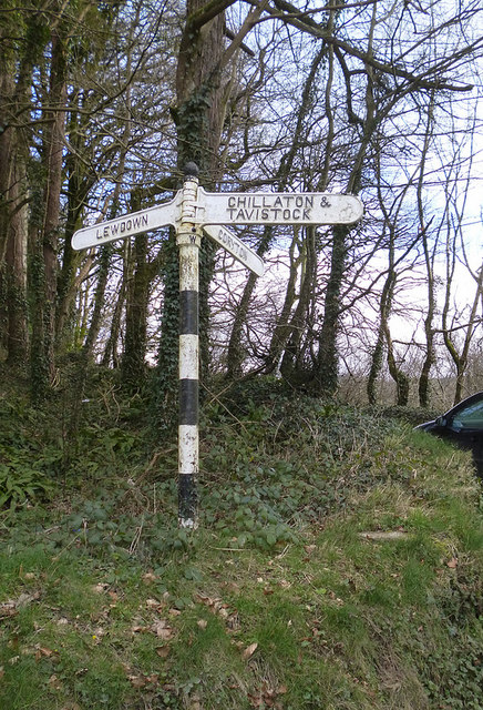
///shin.simulations.regulate. Near Lifton, Devon

Nearby Locations

Lowertown Coryton

Related Wikis

Coryton, Devon

Coryton is a hamlet and civil parish in the West Devon district of Devon, England, to the north west of Tavistock. Coryton is in the valley of the River...

Liddaton Halt railway station

Liddaton Halt was a railway station opened in 1938 by the Great Western Railway to serve the hamlet of Liddaton that lies between Coryton and Lydford in...

Lewtrenchard

Lewtrenchard is a village and civil parish in the West Devon district, in the county of Devon, England. Most of the larger village of Lewdown is in the...

Combebow

Combebow is a small settlement in Devon, England. It is situated by the River Lew. == External links == Media related to Combebow at Wikimedia Commons...

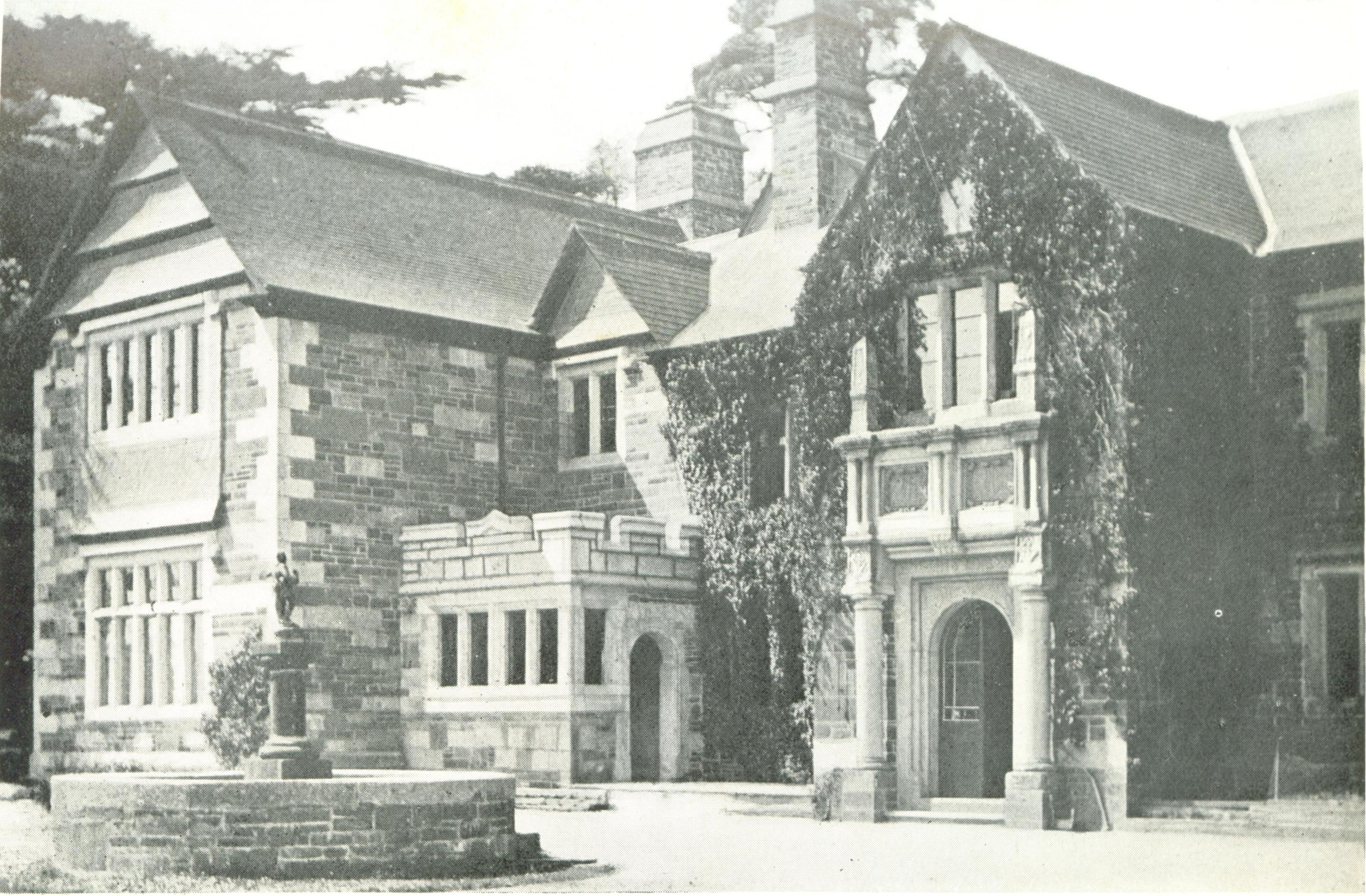
Burnville House, Brentor

Burnville House (or Farm) in Brentor, West Devon, England, is a building of historical significance and is Grade II listed on the English Heritage Register...
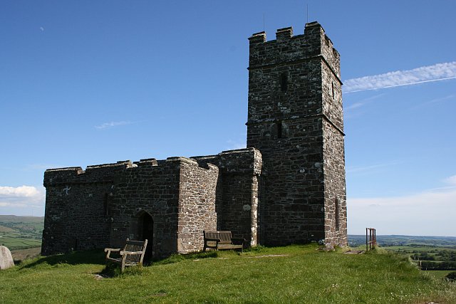
Brentor

Brentor is a village in West Devon, England. Its population in 2001 was 423. The village is dominated by the hill of Brent Tor, topped by the village's...

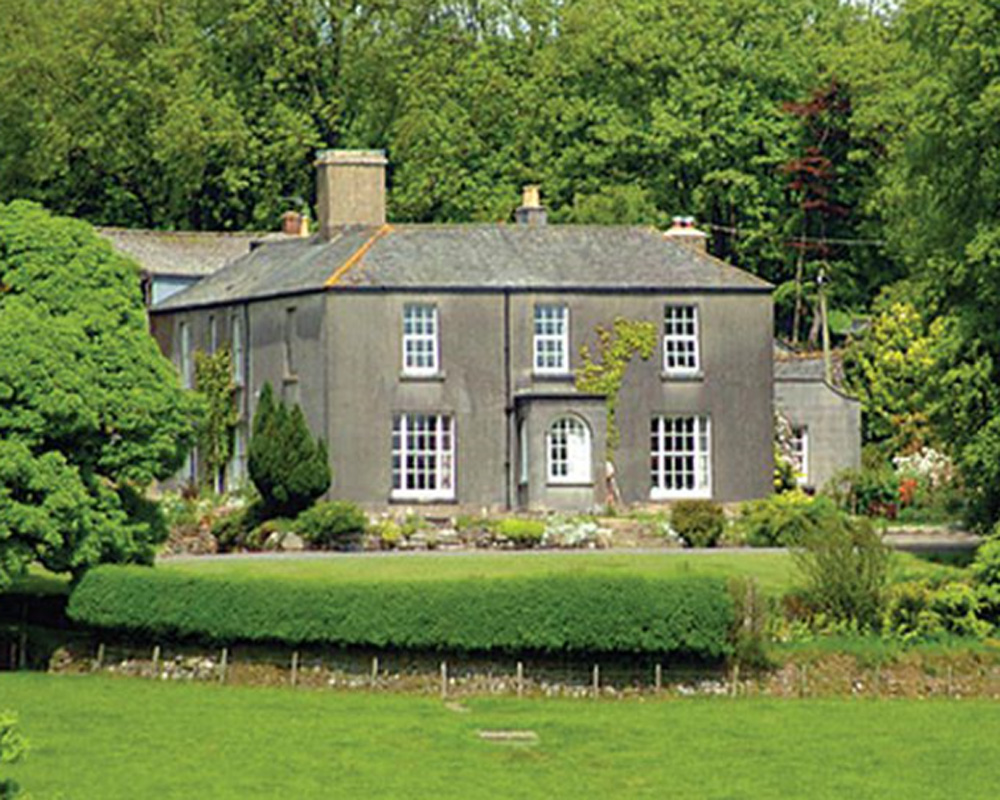
Sydenham House, Devon

Sydenham House (anciently Sidelham, Sidraham, etc.) in the parish of Marystow in Devon, England, is a seventeenth-century manor house. The Grade I listed...

Thrushelton

Thrushelton or Thruselton is a village and civil parish about 2 and a half miles north of Coryton railway station, in the West Devon district, in the county...

Nearby Amenities

Located within 500m of 50.637995,-4.175711
Power: pole
Lat/Long: 50.6343763/-4.1746116
Power: pole
Lat/Long: 50.6354379/-4.1746277
Power: pole
Lat/Long: 50.6364603/-4.1746625
Power: pole
Lat/Long: 50.6381342/-4.1746867
Power: pole
Lat/Long: 50.6388572/-4.174684
Power: pole
Lat/Long: 50.6398744/-4.1747269
Power: pole
Lat/Long: 50.6405922/-4.1740456
Power: pole
Lat/Long: 50.6410039/-4.1733912
Power: pole
Lat/Long: 50.6415465/-4.1724148
Post Box
Brand: Royal Mail
Brand Wikidata: Q638098
Brand Wikipedia: en:Royal Mail
Collection Times: Mo-Fr 09:00; Sa 07:00; Su off
Drive Through: no
Note: box mounted on rounded pedestal
Operator: Royal Mail
Operator Wikidata: Q638098
Post Box Design: type_l
Post Box Mounting: pier
Post Box Type: lamp
Ref: EX20 24D
Royal Cypher: EIIR
Royal Cypher Wikidata: Q33102113
Source: survey;streetlevel imagery;aerial imagery
Lat/Long: 50.6391645/-4.1739817
The data included in this document is from www.openstreetmap.org. The data is made available under ODbL.

Have you been to Lowertown?

Leave your review of Lowertown below (or comments, questions and feedback).