Lowes Barn

Settlement in Durham

England

Lowes Barn

Stone Spiral in Gary's Wood Gary's Wood is part of the Woodland Trust land at Lower Burnhall, a relatively new woodland area with extensive footpath access. It has various sculptures and stone features at intervals along the tracks.
Stone Spiral in Gary's Wood Credit: Des Blenkinsopp

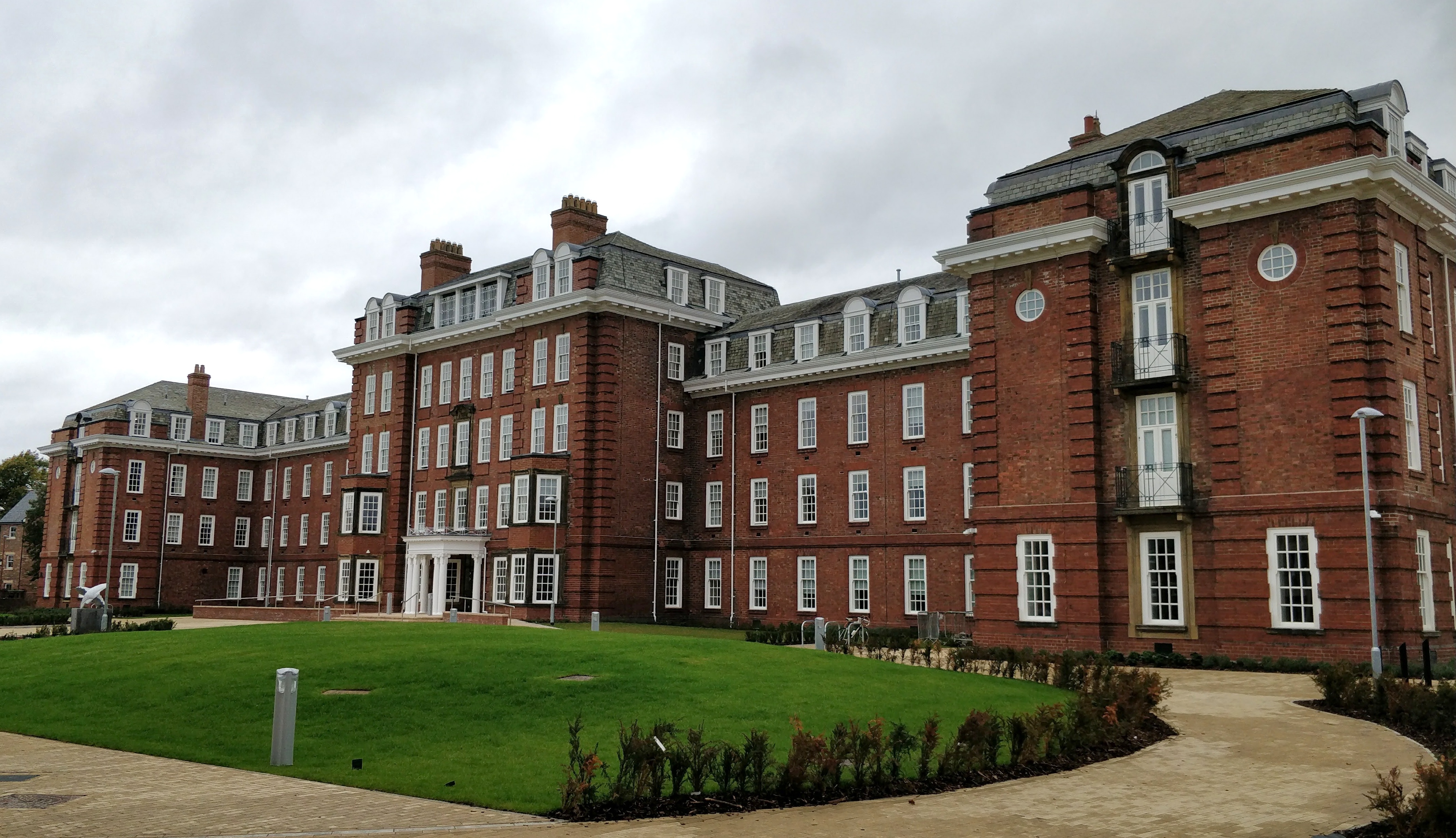
Lowes Barn, located in Durham, is a historical and picturesque building with a rich history dating back several centuries. This Grade II listed barn is situated in the Lowes Barn Farm complex, a charming rural setting surrounded by beautiful countryside.

The barn itself is an impressive timber-framed structure, characterized by its distinct architectural features such as the steeply pitched roof, large open entrance, and exposed wooden beams. These elements are a testament to the traditional construction techniques prevalent during the period it was built.

Originally used for agricultural purposes, Lowes Barn has undergone careful renovation and restoration to preserve its original charm while adapting it for modern use. Today, it serves as a multipurpose space, hosting various events such as weddings, conferences, and exhibitions. The barn's spacious interior can accommodate large gatherings, with its high ceilings and ample natural light creating a warm and welcoming atmosphere.

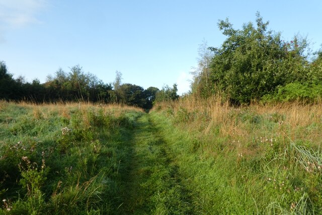
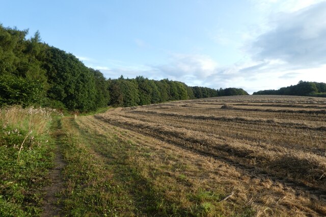
Surrounded by well-maintained gardens and green fields, Lowes Barn offers a tranquil setting for visitors to enjoy the beauty of the countryside. Its location also provides easy access to nearby attractions, including the historic city of Durham, renowned for its iconic cathedral and castle.

Lowes Barn is not only a remarkable architectural gem but also a vibrant venue that brings people together to celebrate special occasions, appreciate the heritage of the area, and create lasting memories in a truly unique setting.

If you have any feedback on the listing, please let us know in the comments section below.
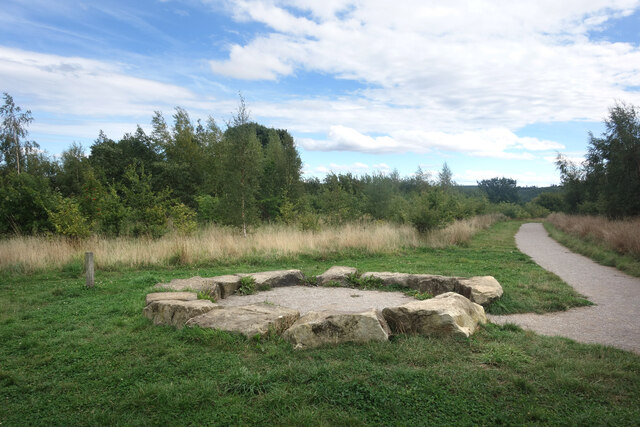
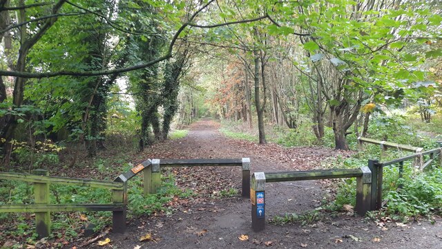
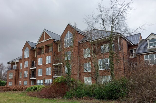
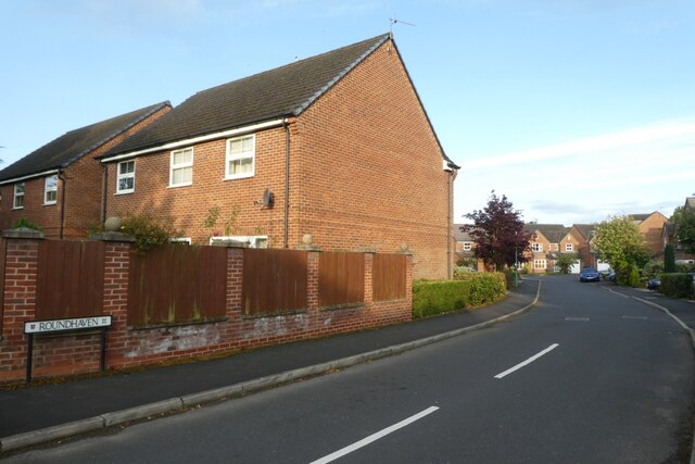
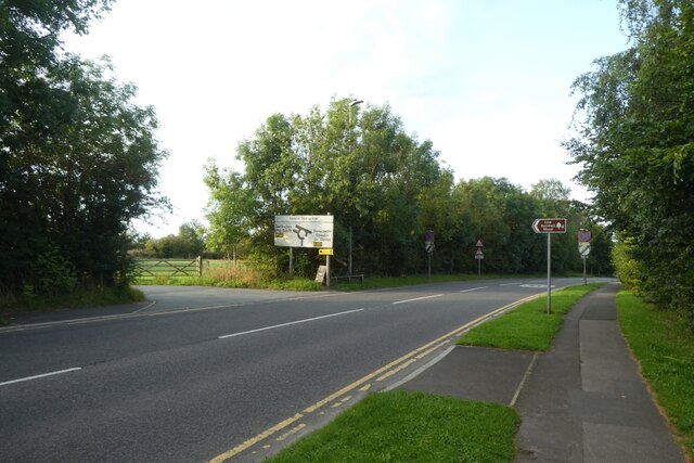
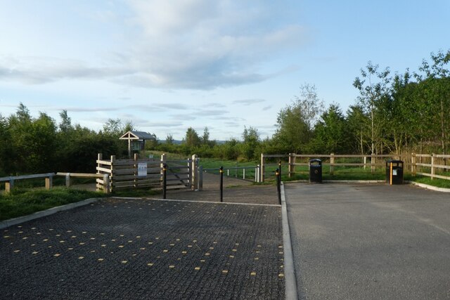
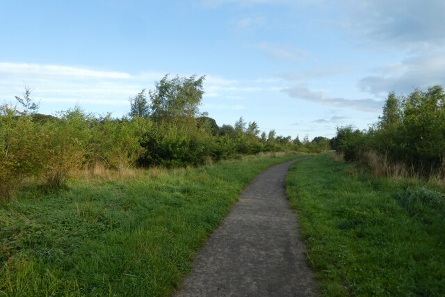
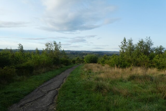
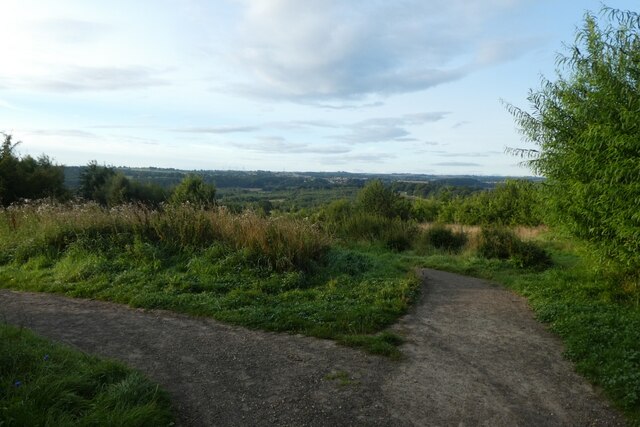
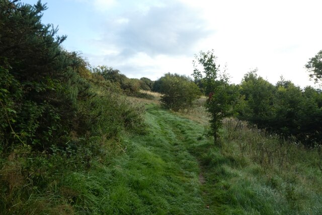
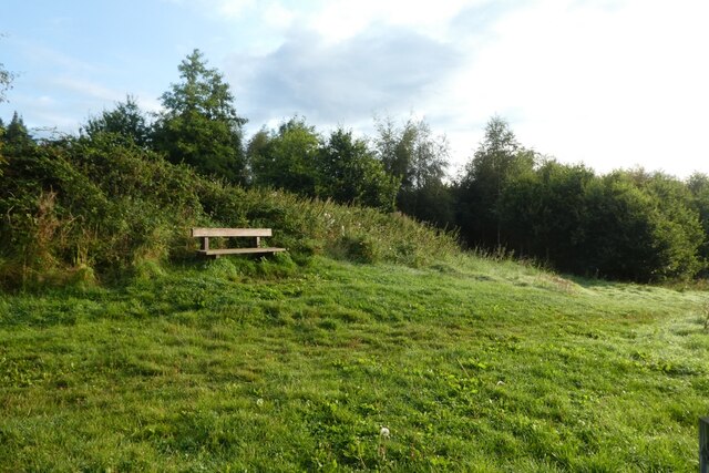
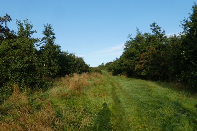
Lowes Barn Images

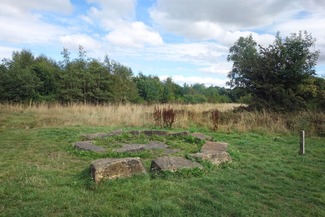
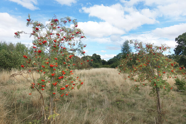
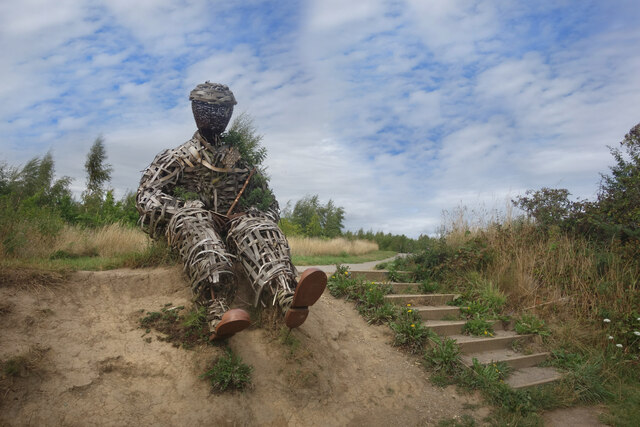
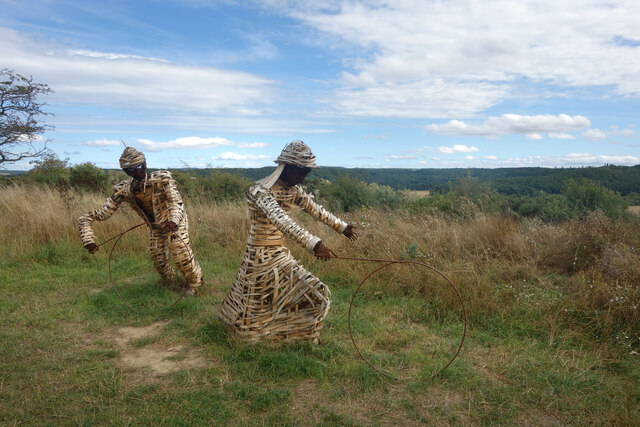
Images are sourced within 2km of 54.763266/-1.5974591 or Grid Reference NZ2641. Thanks to Geograph Open Source API. All images are credited.

Stone Spiral in Gary's Wood Gary's Wood is part of the Woodland Trust land at Lower Burnhall, a relatively new woodland area with extensive footpath access. It has various sculptures and stone features at intervals along the tracks.
Stone Spiral in Gary's Wood
Gary's Wood is part of the Woodland Trust land at Lower Burnhall, a relatively new woodland area with extensive footpath access. It has various sculptures and stone features at intervals along the tracks.
Rowan Trees, Low Burnhall Low Burnhall is a fairly recently established bit of forest managed by the Woodland Trust.
Rowan Trees, Low Burnhall
Low Burnhall is a fairly recently established bit of forest managed by the Woodland Trust.
Wicker Man, Low Burnhall A wickerwork figure of a miner sits beside a path in Low Burnhall Wood. There are several sculptures and features at intervals around the wood.
Wicker Man, Low Burnhall
A wickerwork figure of a miner sits beside a path in Low Burnhall Wood. There are several sculptures and features at intervals around the wood.
Wickerwork Figures, Low Burnhall Wood Some more of the wicker sculptures which can be seen in Low Burnhall Wood.
Wickerwork Figures, Low Burnhall Wood
Some more of the wicker sculptures which can be seen in Low Burnhall Wood.
Stone Circle, Low Burnhall Wood There are a lot of tracks and trails around Low Burnhall Wood with various features at intervals. Some stone, like this, some wickerwork, and some old industrial relics.
Stone Circle, Low Burnhall Wood
There are a lot of tracks and trails around Low Burnhall Wood with various features at intervals. Some stone, like this, some wickerwork, and some old industrial relics.
Brandon to Bishop Auckland Railway Path This is part of National Cycle Network route 70.
Brandon to Bishop Auckland Railway Path
This is part of National Cycle Network route 70.
Durham, Cock of the North Hotel According to the OS benchmark database the OS Flush Bracket 8969 was embedded into the pub and hotel which was at this location. The pub has been demolished and replaced with new housing. It is likely the Flush Bracket has been destroyed.
Durham, Cock of the North Hotel
According to the OS benchmark database the OS Flush Bracket 8969 was embedded into the pub and hotel which was at this location. The pub has been demolished and replaced with new housing. It is likely the Flush Bracket has been destroyed.
Roundhaven from the A177 A street off South Road in Durham.
Roundhaven from the A177
A street off South Road in Durham.
Entrance to Low Burnhall An entrance to the Woodland Trust car park off the A177 South Road near Cock o' the North roundabout.
Entrance to Low Burnhall
An entrance to the Woodland Trust car park off the A177 South Road near Cock o' the North roundabout.
Car park at Low Burnhall Low Burnhall is a Woodland Trust site to the south of Durham.
Car park at Low Burnhall
Low Burnhall is a Woodland Trust site to the south of Durham.
Track towards the car park Low Burnhall is a Woodland Trust site to the south of Durham.
Track towards the car park
Low Burnhall is a Woodland Trust site to the south of Durham.
Path in Low Burnhall Low Burnhall is a Woodland Trust site to the south of Durham.
Path in Low Burnhall
Low Burnhall is a Woodland Trust site to the south of Durham.
Junction of paths at Low Burnhall Low Burnhall is a Woodland Trust site to the south of Durham.
Junction of paths at Low Burnhall
Low Burnhall is a Woodland Trust site to the south of Durham.
Path near the Wear in Low Burnhall Low Burnhall is a Woodland Trust site to the south of Durham.
Path near the Wear in Low Burnhall
Low Burnhall is a Woodland Trust site to the south of Durham.
Bench in Low Burnhall Low Burnhall is a Woodland Trust site to the south of Durham.
Bench in Low Burnhall
Low Burnhall is a Woodland Trust site to the south of Durham.
Path in the park Low Burnhall is a Woodland Trust site to the south of Durham.
Path in the park
Low Burnhall is a Woodland Trust site to the south of Durham.
Path at Low Burnhall Low Burnhall is a Woodland Trust site to the south of Durham.
Path at Low Burnhall
Low Burnhall is a Woodland Trust site to the south of Durham.
Path towards Pinnock Hill Looking along a path beside a harvested field.
Path towards Pinnock Hill
Looking along a path beside a harvested field.
Show me another place!

Lowes Barn is located at Grid Ref: NZ2641 (Lat: 54.763266, Lng: -1.5974591)

Unitary Authority: County Durham

Police Authority: Durham

What 3 Words

///axed.courier.healers. Near Brandon, Co. Durham

Related Wikis

Lowes Barn

Lowes Barn or Lowe's Barn is a suburb of the city of Durham in County Durham, England. It lies to the south-west of Durham and is linked with Neville's...
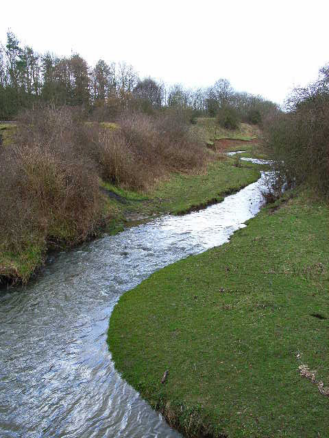
River Deerness

The River Deerness in County Durham, England is a tributary to the River Browney, which is itself a tributary the River Wear. It rises near Tow Law and...

Durham University Business School

Durham University Business School is the business faculty of Durham University, located in Durham, England. Established in 1965, it holds triple accreditation...

Ustinov College, Durham

Ustinov College is the largest college of Durham University, located in Durham, North East England. Founded as the Graduate Society in 1965, it became...

Nearby Amenities

Located within 500m of 54.763266,-1.5974591
Post Box
Collection Times: Mo-Fr 09:00; Sa 07:00; Su off
Post Box Type: pillar
Ref: DH1 296
Royal Cypher: EIIR
Royal Cypher Wikidata: Q33102113
Lat/Long: 54.7640284/-1.594448
Noexit: yes
Lat/Long: 54.7659477/-1.5955164
Noexit: yes
Lat/Long: 54.7662865/-1.5955122
Turning Circle
Lit: yes
Maxspeed: 30 mph
Surface: asphalt
Lat/Long: 54.7653725/-1.5936387
Post Box
Collection Times: Mo-Fr 09:00; Sa 07:00; Su off
Post Box Type: lamp
Ref: DH1 149
Royal Cypher: EIIR
Royal Cypher Wikidata: Q33102113
Lat/Long: 54.7646038/-1.5920057
Post Box
Collection Times: Mo-Fr 16:00; Sa 11:30; Su off
Drive Through: no
Operator: Royal Mail
Post Box Type: pillar
Ref: DH1 57
Royal Cypher: EIIR
Royal Cypher Wikidata: Q33102113
Lat/Long: 54.7667286/-1.5930957
Removed Amenity: telephone
Lat/Long: 54.7667201/-1.5931454
Crossing
Crossing: unmarked
Crossing Island: no
Kerb: lowered
Tactile Paving: no
Lat/Long: 54.7645605/-1.5922627
Fuel
Shell
Brand: Shell
Brand Wikidata: Q110716465
Check Date: 2023-12-21
Operator: Motor Fuel Group
Operator Website: https://www.motorfuelgroup.com/locations/stonebridge-fs989/
Operator Wikidata: Q107271358
Website: https://find.shell.com/gb/fuel/12602989-mfg-stonebridge
Lat/Long: 54.7651454/-1.6035836
Bench
Backrest: yes
Ele: 97.7
Mapillary: 980352472793798
Lat/Long: 54.7610216/-1.5920872
Waste Basket
Ele: 99.62
Lat/Long: 54.7611603/-1.5919327
Parking
Lat/Long: 54.7600411/-1.5923447
Power: tower
Lat/Long: 54.7613685/-1.6023059
Crossing
Bicycle: yes
Check Date Tactile Paving: 2023-12-22
Crossing: unmarked
Crossing Island: yes
Kerb: flush
Tactile Paving: no
Lat/Long: 54.766911/-1.6002773
Bench
Lat/Long: 54.7664222/-1.6003702
Power: tower
Lat/Long: 54.7640238/-1.6032478
Disused Tourism: information
Information: board
Lat/Long: 54.7602794/-1.6014089
Bus Stop
Inn
Naptan AtcoCode: 13005045B
Naptan Bearing: NE
Naptan CommonName: Inn
Naptan Indicator: north east bound
Naptan Landmark: Landmark not known
Naptan NaptanCode: durdgmpw
Naptan Notes: Opposite Stonebridge Inn- A690 Nevilles Cross Bank- Stonebridge
Naptan PlusbusZoneRef: DRHM
Naptan Street: A690
Naptan Verified: no
Shelter: no
Source: naptan_import
Lat/Long: 54.7665899/-1.6007107
Bus Stop
Inn
Naptan AtcoCode: 13005045F
Naptan Bearing: SW
Naptan CommonName: Inn
Naptan Indicator: south west bound
Naptan Landmark: Landmark not known
Naptan NaptanCode: durdgmta
Naptan Notes: Just southwest of Stonebridge Inn- A690 Nevilles Cross Bank- Stonebridge
Naptan PlusbusZoneRef: DRHM
Naptan Street: A690
Naptan Verified: no
Source: naptan_import
Lat/Long: 54.7662382/-1.600876
Bus Stop
Broom Lane End
Bench: no
Bin: no
Naptan AtcoCode: 13005052D
Naptan Bearing: SE
Naptan CommonName: Broom Lane End
Naptan Indicator: south east bound
Naptan Landmark: Landmark not known
Naptan NaptanCode: durdgmwm
Naptan Notes: On Broom Lane- almost at junction with A690 Nevilles Cross Bank- Stonebridge
Naptan PlusbusZoneRef: DRHM
Naptan Street: B6302 - Broom Lane
Naptan Verified: yes
Shelter: no
Source: naptan_import
Tactile Paving: no
Lat/Long: 54.7673607/-1.6004861
Bus Stop
Elvet Moor Farm
Naptan AtcoCode: 13005639A
Naptan Bearing: N
Naptan CommonName: Elvet Moor Farm
Naptan Indicator: north bound
Naptan Landmark: Landmark not known
Naptan NaptanCode: durdmgam
Naptan Notes: a167 darlington road- parking bay 20m north of elvet moor farm- Durham
Naptan PlusbusZoneRef: DRHM
Naptan Street: A167
Naptan Verified: no
Note: No physical bus stop (customer request?)
Source: naptan_import
Lat/Long: 54.759972/-1.5923837
Bus Stop
Douglas Gardens (A167)
Bench: no
Naptan AtcoCode: 13005640A
Naptan Bearing: N
Naptan CommonName: Douglas Gardens (A167)
Naptan Indicator: north bound
Naptan Landmark: Landmark not known
Naptan NaptanCode: durdmgat
Naptan Notes: 25- douglas gardens- a167- Durham
Naptan PlusbusZoneRef: DRHM
Naptan Street: A167
Naptan Verified: yes
Shelter: yes
Source: naptan_import; survey
Lat/Long: 54.7635799/-1.5924515
Bus Stop
Douglas Gardens (A167)
Naptan AtcoCode: 13005640E
Naptan Bearing: S
Naptan CommonName: Douglas Gardens (A167)
Naptan Indicator: south bound
Naptan Landmark: Landmark not known
Naptan NaptanCode: durdmgaw
Naptan Notes: opp 29- douglas gardens- a167- Durham
Naptan PlusbusZoneRef: DRHM
Naptan Street: A167
Naptan Verified: no
Shelter: yes
Source: naptan_import
Lat/Long: 54.7633326/-1.5922412
Bus Stop
Duke of Wellington
Bench: no
Bus: yes
Check Date Shelter: 2022-06-22
Departures Board: timetable
Naptan AtcoCode: 13005641E
Naptan Bearing: S
Naptan CommonName: Duke of Wellington
Naptan Indicator: south bound
Naptan Landmark: Landmark not known
Naptan NaptanCode: durdmgda
Naptan Notes: russet grey - highway- darlington rd (a167)- Durham
Naptan PlusbusZoneRef: DRHM
Naptan Street: A167
Passenger Information Display: no
Public Transport: platform
Shelter: no
Source: naptan_import
Lat/Long: 54.7663667/-1.5921359
Passing Place
Lat/Long: 54.7621934/-1.6043457
door1
Door: yes
Height: 2
Indoor: yes
Width: 0.76
Lat/Long: 54.7667601/-1.594453
door10
Door: yes
Height: 2
Indoor: yes
Width: 0.76
Lat/Long: 54.7668812/-1.5944877
door2
Door: yes
Height: 2
Indoor: yes
Width: 0.76
Lat/Long: 54.7667725/-1.5944553
door3
Door: yes
Height: 2
Indoor: yes
Width: 0.76
Lat/Long: 54.7667937/-1.594472
door4
Door: yes
Height: 2
Indoor: yes
Width: 0.76
Lat/Long: 54.7668004/-1.5944733
door5
Door: yes
Height: 2
Indoor: yes
Width: 0.76
Lat/Long: 54.7668274/-1.5944706
door6
Door: yes
Height: 2
Indoor: yes
Width: 0.76
Lat/Long: 54.7668324/-1.5944833
door7
Door: yes
Height: 2
Indoor: yes
Width: 0.76
Lat/Long: 54.7668615/-1.5944897
door8
Door: yes
Height: 2
Indoor: yes
Width: 0.76
Lat/Long: 54.7668669/-1.5944849
door9
Door: yes
Height: 2
Indoor: yes
Width: 0.76
Lat/Long: 54.7668722/-1.5944786
Height: 2.4
Indoor: yes
Lat/Long: 54.7667506/-1.5944997
Height: 2.4
Indoor: yes
Lat/Long: 54.7667518/-1.5944786
Height: 2.4
Indoor: yes
Lat/Long: 54.7667566/-1.5945193
Height: 2.4
Indoor: yes
Lat/Long: 54.7667572/-1.5945055
Height: 2.4
Indoor: yes
Lat/Long: 54.766759/-1.5944756
Height: 2.4
Indoor: yes
Lat/Long: 54.7667597/-1.5944614
Height: 2.4
Indoor: yes
Lat/Long: 54.7667606/-1.5944433
Height: 2.4
Indoor: yes
Lat/Long: 54.766772/-1.5944637
Height: 2.4
Indoor: yes
Lat/Long: 54.766773/-1.5944456
Height: 2.4
Indoor: yes
Lat/Long: 54.7667906/-1.5944671
Height: 2.4
Indoor: yes
Lat/Long: 54.766794/-1.5945262
Height: 2.4
Indoor: yes
Lat/Long: 54.7667969/-1.5944773
Height: 2.4
Indoor: yes
Lat/Long: 54.7668038/-1.5944694
Height: 2.4
Indoor: yes
Lat/Long: 54.766804/-1.5944664
Height: 2.4
Indoor: yes
Lat/Long: 54.7668048/-1.5944514
Height: 2.4
Indoor: yes
Lat/Long: 54.7668214/-1.5944695
Height: 2.4
Indoor: yes
Lat/Long: 54.7668222/-1.5944546
Height: 2.4
Indoor: yes
Lat/Long: 54.7668295/-1.5945328
Height: 2.4
Indoor: yes
Lat/Long: 54.7668318/-1.594493
Height: 2.4
Indoor: yes
Lat/Long: 54.766833/-1.5944717
Height: 2.4
Indoor: yes
Lat/Long: 54.7668339/-1.5944568
Height: 2.4
Indoor: yes
Lat/Long: 54.7668557/-1.5944973
Height: 2.4
Indoor: yes
Lat/Long: 54.7668562/-1.5944887
Height: 2.4
Indoor: yes
Lat/Long: 54.7668661/-1.5944993
Height: 2.4
Indoor: yes
Lat/Long: 54.7668665/-1.5944906
Height: 2.4
Indoor: yes
Lat/Long: 54.7668673/-1.5944777
Height: 2.4
Indoor: yes
Lat/Long: 54.7668681/-1.594463
Height: 2.4
Indoor: yes
Lat/Long: 54.7668815/-1.5944804
Height: 2.4
Indoor: yes
Lat/Long: 54.7668823/-1.5944656
window1
Breast: 0.65
Height: 1.55
Indoor: yes
Width: 0.55
Window: yes
Lat/Long: 54.7667554/-1.5944771
window2
Breast: 0.65
Height: 1.55
Indoor: yes
Width: 1.1
Window: yes
Lat/Long: 54.7667512/-1.5944896
window3
Breast: 0.65
Height: 1.55
Indoor: yes
Width: 0.55
Window: yes
Lat/Long: 54.766754/-1.5945027
window4
Breast: 0.65
Height: 1.55
Indoor: yes
Width: 1
Window: yes
Lat/Long: 54.7668306/-1.5945133
window5
Breast: 1
Height: 1.2
Indoor: yes
Width: 0.9
Window: yes
Lat/Long: 54.7668377/-1.594494
window6
Breast: 1
Height: 1.2
Indoor: yes
Width: 1
Window: yes
Lat/Long: 54.7668488/-1.5944961
window7
Breast: 1
Height: 1.2
Indoor: yes
Width: 1
Window: yes
Lat/Long: 54.7668731/-1.5945006
Height: 2.4
Indoor: yes
Lat/Long: 54.7667506/-1.5944997
Height: 2.4
Indoor: yes
Lat/Long: 54.7667518/-1.5944786
Height: 2.4
Indoor: yes
Lat/Long: 54.7667566/-1.5945193
Height: 2.4
Indoor: yes
Lat/Long: 54.7667572/-1.5945055
Height: 2.4
Indoor: yes
Lat/Long: 54.766759/-1.5944756
Height: 2.4
Indoor: yes
Lat/Long: 54.7667597/-1.5944614
Height: 2.4
Indoor: yes
Lat/Long: 54.766772/-1.5944637
Height: 2.4
Indoor: yes
Lat/Long: 54.766773/-1.5944456
Height: 2.4
Indoor: yes
Lat/Long: 54.7667906/-1.5944671
Height: 2.4
Indoor: yes
Lat/Long: 54.766794/-1.5945262
Height: 2.4
Indoor: yes
Lat/Long: 54.7667969/-1.5944773
Height: 2.4
Indoor: yes
Lat/Long: 54.7668038/-1.5944694
Height: 2.4
Indoor: yes
Lat/Long: 54.7668295/-1.5945328
Height: 2.4
Indoor: yes
Lat/Long: 54.7668318/-1.594493
Height: 2.4
Indoor: yes
Lat/Long: 54.766833/-1.5944717
Height: 2.4
Indoor: yes
Lat/Long: 54.7668339/-1.5944568
Height: 2.4
Indoor: yes
Lat/Long: 54.7668557/-1.5944973
Height: 2.4
Indoor: yes
Lat/Long: 54.7668562/-1.5944887
Height: 2.4
Indoor: yes
Lat/Long: 54.7668661/-1.5944993
Height: 2.4
Indoor: yes
Lat/Long: 54.7668665/-1.5944906
Height: 2.4
Indoor: yes
Lat/Long: 54.7668673/-1.5944777
Height: 2.4
Indoor: yes
Lat/Long: 54.7668681/-1.594463
Height: 2.4
Indoor: yes
Lat/Long: 54.7668804/-1.5945019
window6
Breast: 1
Height: 1.2
Indoor: yes
Width: 1
Window: yes
Lat/Long: 54.7668486/-1.5944961
Grit Bin
Operator: Durham County Council
Operator Type: government
Operator Wikidata: Q5316492
Ref: DU235
Lat/Long: 54.764055/-1.5944657
Street Lamp
Lat/Long: 54.7656041/-1.5945088
Street Lamp
Lat/Long: 54.7664898/-1.5945207
Grit Bin
Operator: Durham County Council
Operator Type: government
Operator Wikidata: Q5316492
Ref: DU374
Lat/Long: 54.7660921/-1.5950238
Addr City: Durham
Addr Housenumber: 1
Addr Postcode: DH1 3SA
Addr Street: Coupland Way
Lat/Long: 54.7647545/-1.6024779
Addr City: Durham
Addr Housenumber: 10
Addr Postcode: DH1 3SA
Addr Street: Coupland Way
Lat/Long: 54.7648044/-1.6033192
Addr City: Durham
Addr Housenumber: 11
Addr Postcode: DH1 3SA
Addr Street: Coupland Way
Lat/Long: 54.7648555/-1.6030199
Addr City: Durham
Addr Housenumber: 15
Addr Postcode: DH1 3SA
Addr Street: Coupland Way
Lat/Long: 54.7649932/-1.6027312
Addr City: Durham
Addr Housenumber: 16
Addr Postcode: DH1 3SA
Addr Street: Coupland Way
Lat/Long: 54.7650257/-1.6025877
Addr City: Durham
Addr Housenumber: 22
Addr Postcode: DH1 3SA
Addr Street: Coupland Way
Lat/Long: 54.7654444/-1.6018479
Addr City: Durham
Addr Housenumber: 23
Addr Postcode: DH1 3SA
Addr Street: Coupland Way
Lat/Long: 54.7653002/-1.6016462
Addr City: Durham
Addr Housenumber: 24
Addr Postcode: DH1 3SA
Addr Street: Coupland Way
Lat/Long: 54.7651298/-1.6019446
Addr City: Durham
Addr Housenumber: 30
Addr Postcode: DH1 3SA
Addr Street: Coupland Way
Lat/Long: 54.7651282/-1.6013739
Addr City: Durham
Addr Housenumber: 4
Addr Postcode: DH1 3SA
Addr Street: Coupland Way
Lat/Long: 54.7646521/-1.6028786
Addr City: Durham
Addr Housenumber: 5
Addr Postcode: DH1 3SA
Addr Street: Coupland Way
Lat/Long: 54.7645752/-1.6031527
Bicycle Parking
Bicycle Parking: stands
Capacity: 10
Lat/Long: 54.7654411/-1.6013182
Entrance: yes
Lat/Long: 54.7654662/-1.6012826
Defibrillator
Emergency: defibrillator
Lat/Long: 54.7655003/-1.6012505
Generator Method: photovoltaic
Generator Orientation: 90
Generator Output Electricity: yes
Generator Solar Modules: 7
Generator Source: solar
Generator Type: solar_photovoltaic_panel
Location: roof
Power: generator
Lat/Long: 54.7642686/-1.5926756
Generator Method: photovoltaic
Generator Orientation: 270
Generator Output Electricity: yes
Generator Solar Modules: 7
Generator Source: solar
Generator Type: solar_photovoltaic_panel
Location: roof
Power: generator
Lat/Long: 54.7642695/-1.5927432
Generator Method: photovoltaic
Generator Orientation: 90
Generator Output Electricity: yes
Generator Solar Modules: 6
Generator Source: solar
Generator Type: solar_photovoltaic_panel
Location: roof
Power: generator
Lat/Long: 54.7651314/-1.5948161
Generator Method: photovoltaic
Generator Orientation: 270
Generator Output Electricity: yes
Generator Solar Modules: 6
Generator Source: solar
Generator Type: solar_photovoltaic_panel
Location: roof
Power: generator
Lat/Long: 54.76513/-1.5948912
Generator Method: photovoltaic
Generator Orientation: 180
Generator Output Electricity: yes
Generator Solar Modules: 8
Generator Source: solar
Generator Type: solar_photovoltaic_panel
Location: roof
Power: generator
Lat/Long: 54.764833/-1.5959728
Generator Method: photovoltaic
Generator Orientation: 180
Generator Output Electricity: yes
Generator Solar Modules: 10
Generator Source: solar
Generator Type: solar_photovoltaic_panel
Location: roof
Power: generator
Lat/Long: 54.7648301/-1.5957764
Generator Method: photovoltaic
Generator Orientation: 270
Generator Output Electricity: yes
Generator Solar Modules: 8
Generator Source: solar
Generator Type: solar_photovoltaic_panel
Location: roof
Power: generator
Lat/Long: 54.7654008/-1.5954943
Generator Method: photovoltaic
Generator Orientation: 90
Generator Output Electricity: yes
Generator Solar Modules: 8
Generator Source: solar
Generator Type: solar_photovoltaic_panel
Location: roof
Power: generator
Lat/Long: 54.7654008/-1.5954258
Waste Basket
Check Date: 2023-12-22
Waste: trash
Lat/Long: 54.7639212/-1.6050265
adoption matters
Office: adoption_agency
Old Name: DFW Adoption
Website: https://www.adoptionmatters.org/
Lat/Long: 54.7644346/-1.6039355
Access: private
Barrier: entrance
Foot: yes
Lat/Long: 54.7658377/-1.601432
Barrier: entrance
Foot: yes
Lat/Long: 54.764953/-1.6032408
Crossing
Crossing: uncontrolled
Crossing Island: yes
Lat/Long: 54.7638248/-1.5923411
Crossing
Crossing: uncontrolled
Crossing Island: yes
Lat/Long: 54.7622023/-1.5923508
Shelter
Note: Oddly positioned between bus stop positions!
Shelter Type: public_transport
Lat/Long: 54.7664408/-1.6006069
Waste Basket
Waste: trash
Lat/Long: 54.7664427/-1.6003574
Access: customers
Leisure: picnic_table
Lat/Long: 54.766495/-1.6003078
Access: customers
Leisure: picnic_table
Lat/Long: 54.7664687/-1.6003293
Bicycle: yes
Information: guidepost
Tourism: information
Lat/Long: 54.7669565/-1.6004741
Waste Basket
Waste: dog_excrement
Lat/Long: 54.7656044/-1.6006941
A167 Darlington Road/Duke of Wellington (south)
Camera Mount: pole
Camera Type: fixed
Contact Webcam: http://dcc.ussgroup.co.uk/i_dutmc_18.html
Man Made: surveillance
Operator: Durham County Council
Surveillance: public
Surveillance Type: camera
Surveillance Zone: traffic
Website: https://www.durham.gov.uk/article/24331/A167-Darlington-Road-Duke-of-Wellington-south-
Lat/Long: 54.7663592/-1.59217
A690 Stonebridge Inn roundabout
Camera Mount: pole
Camera Type: fixed
Contact Webcam: https://dcc.ussgroup.co.uk/i_dutmc_29.html
Man Made: surveillance
Surveillance: public
Surveillance Type: camera
Surveillance Zone: traffic
Website: http://www.durham.gov.uk/article/21804
Lat/Long: 54.7670396/-1.5999672
Generator Method: photovoltaic
Generator Output Electricity: yes
Generator Source: solar
Generator Type: solar_photovoltaic_panel
Location: roof
Power: generator
Lat/Long: 54.7650899/-1.6013847
Generator Method: photovoltaic
Generator Output Electricity: yes
Generator Source: solar
Generator Type: solar_photovoltaic_panel
Location: roof
Power: generator
Lat/Long: 54.7652687/-1.6016208
Generator Method: photovoltaic
Generator Output Electricity: yes
Generator Source: solar
Generator Type: solar_photovoltaic_panel
Location: roof
Power: generator
Lat/Long: 54.7653391/-1.6019547
Generator Method: photovoltaic
Generator Output Electricity: yes
Generator Source: solar
Generator Type: solar_photovoltaic_panel
Location: roof
Power: generator
Lat/Long: 54.7652918/-1.6020968
Generator Method: photovoltaic
Generator Output Electricity: yes
Generator Source: solar
Generator Type: solar_photovoltaic_panel
Location: roof
Power: generator
Lat/Long: 54.7652045/-1.6022203
Generator Method: photovoltaic
Generator Output Electricity: yes
Generator Source: solar
Generator Type: solar_photovoltaic_panel
Location: roof
Power: generator
Lat/Long: 54.7651208/-1.6023194
Generator Method: photovoltaic
Generator Output Electricity: yes
Generator Source: solar
Generator Type: solar_photovoltaic_panel
Location: roof
Power: generator
Lat/Long: 54.7651108/-1.6019789
Generator Method: photovoltaic
Generator Output Electricity: yes
Generator Source: solar
Generator Type: solar_photovoltaic_panel
Location: roof
Power: generator
Lat/Long: 54.7650326/-1.6015389
Generator Method: photovoltaic
Generator Output Electricity: yes
Generator Source: solar
Generator Type: solar_photovoltaic_panel
Location: roof
Power: generator
Lat/Long: 54.7649421/-1.6017173
Generator Method: photovoltaic
Generator Output Electricity: yes
Generator Source: solar
Generator Type: solar_photovoltaic_panel
Location: roof
Power: generator
Lat/Long: 54.7648872/-1.6018702
Generator Method: photovoltaic
Generator Output Electricity: yes
Generator Source: solar
Generator Type: solar_photovoltaic_panel
Location: roof
Power: generator
Lat/Long: 54.7648794/-1.6020365
Generator Method: photovoltaic
Generator Output Electricity: yes
Generator Source: solar
Generator Type: solar_photovoltaic_panel
Location: roof
Power: generator
Lat/Long: 54.7650752/-1.6024174
Generator Method: photovoltaic
Generator Output Electricity: yes
Generator Source: solar
Generator Type: solar_photovoltaic_panel
Location: roof
Power: generator
Lat/Long: 54.765018/-1.6025743
Generator Method: photovoltaic
Generator Output Electricity: yes
Generator Source: solar
Generator Type: solar_photovoltaic_panel
Location: roof
Power: generator
Lat/Long: 54.7649661/-1.6027473
Generator Method: photovoltaic
Generator Output Electricity: yes
Generator Source: solar
Generator Type: solar_photovoltaic_panel
Location: roof
Power: generator
Lat/Long: 54.7649468/-1.6027889
Generator Method: photovoltaic
Generator Output Electricity: yes
Generator Source: solar
Generator Type: solar_photovoltaic_panel
Location: roof
Power: generator
Lat/Long: 54.7648756/-1.602931
Generator Method: photovoltaic
Generator Output Electricity: yes
Generator Source: solar
Generator Type: solar_photovoltaic_panel
Location: roof
Power: generator
Lat/Long: 54.7648423/-1.6029994
Generator Method: photovoltaic
Generator Output Electricity: yes
Generator Source: solar
Generator Type: solar_photovoltaic_panel
Location: roof
Power: generator
Lat/Long: 54.7647905/-1.602184
Generator Method: photovoltaic
Generator Output Electricity: yes
Generator Source: solar
Generator Type: solar_photovoltaic_panel
Location: roof
Power: generator
Lat/Long: 54.7647309/-1.6025126
Generator Method: photovoltaic
Generator Output Electricity: yes
Generator Source: solar
Generator Type: solar_photovoltaic_panel
Location: roof
Power: generator
Lat/Long: 54.764717/-1.6025581
Generator Method: photovoltaic
Generator Output Electricity: yes
Generator Source: solar
Generator Type: solar_photovoltaic_panel
Location: roof
Power: generator
Lat/Long: 54.7646822/-1.602707
Generator Method: photovoltaic
Generator Output Electricity: yes
Generator Source: solar
Generator Type: solar_photovoltaic_panel
Location: roof
Power: generator
Lat/Long: 54.7646342/-1.6028653
Generator Method: photovoltaic
Generator Output Electricity: yes
Generator Source: solar
Generator Type: solar_photovoltaic_panel
Location: roof
Power: generator
Lat/Long: 54.7645669/-1.6031791
Generator Method: photovoltaic
Generator Output Electricity: yes
Generator Source: solar
Generator Type: solar_photovoltaic_panel
Location: roof
Power: generator
Lat/Long: 54.7646102/-1.6031966
Generator Method: photovoltaic
Generator Output Electricity: yes
Generator Source: solar
Generator Type: solar_photovoltaic_panel
Location: roof
Power: generator
Lat/Long: 54.7646853/-1.603265
Generator Method: photovoltaic
Generator Output Electricity: yes
Generator Source: solar
Generator Type: solar_photovoltaic_panel
Location: roof
Power: generator
Lat/Long: 54.7647239/-1.6032918
Generator Method: photovoltaic
Generator Output Electricity: yes
Generator Source: solar
Generator Type: solar_photovoltaic_panel
Location: roof
Power: generator
Lat/Long: 54.7647611/-1.6033092
Generator Method: photovoltaic
Generator Output Electricity: yes
Generator Source: solar
Generator Type: solar_photovoltaic_panel
Location: roof
Power: generator
Lat/Long: 54.764799/-1.6033414
Addr City: Durham
Addr Housenumber: 21
Addr Postcode: DH1 3SA
Addr Street: Coupland Way
Lat/Long: 54.7653592/-1.6019815
Addr City: Durham
Addr Housenumber: 20
Addr Postcode: DH1 3SA
Addr Street: Coupland Way
Lat/Long: 54.7653073/-1.6021304
Addr City: Durham
Addr Housenumber: 19
Addr Postcode: DH1 3SA
Addr Street: Coupland Way
Lat/Long: 54.76523/-1.602231
Addr City: Durham
Addr Housenumber: 18
Addr Postcode: DH1 3SA
Addr Street: Coupland Way
Lat/Long: 54.7651448/-1.6023316
Addr City: Durham
Addr Housenumber: 17
Addr Postcode: DH1 3SA
Addr Street: Coupland Way
Lat/Long: 54.7650822/-1.602459
Addr City: Durham
Addr Housenumber: 14
Addr Postcode: DH1 3SA
Addr Street: Coupland Way
Lat/Long: 54.7649568/-1.6028197
Addr City: Durham
Addr Housenumber: 12
Addr Postcode: DH1 3SA
Addr Street: Coupland Way
Lat/Long: 54.7648887/-1.6029632
Addr City: Durham
Addr Housenumber: 9
Addr Postcode: DH1 3SA
Addr Street: Coupland Way
Lat/Long: 54.764768/-1.6032945
Addr City: Durham
Addr Housenumber: 8
Addr Postcode: DH1 3SA
Addr Street: Coupland Way
Lat/Long: 54.7647317/-1.6032703
Addr City: Durham
Addr Housenumber: 7
Addr Postcode: DH1 3SA
Addr Street: Coupland Way
Lat/Long: 54.7646907/-1.6032475
Addr City: Durham
Addr Housenumber: 6
Addr Postcode: DH1 3SA
Addr Street: Coupland Way
Lat/Long: 54.7646226/-1.6031791
Addr City: Durham
Addr Housenumber: 3
Addr Postcode: DH1 3SA
Addr Street: Coupland Way
Lat/Long: 54.7647023/-1.6027232
Addr City: Durham
Addr Housenumber: 2
Addr Postcode: DH1 3SA
Addr Street: Coupland Way
Lat/Long: 54.7647239/-1.6025957
Generator Method: photovoltaic
Generator Output Electricity: yes
Generator Source: solar
Generator Type: solar_photovoltaic_panel
Location: roof
Power: generator
Lat/Long: 54.7654327/-1.6018032
Addr City: Durham
Addr Housenumber: 29
Addr Postcode: DH1 3SA
Addr Street: Coupland Way
Lat/Long: 54.765045/-1.6015604
Addr City: Durham
Addr Housenumber: 28
Addr Postcode: DH1 3SA
Addr Street: Coupland Way
Lat/Long: 54.7649762/-1.6016838
Car Wash
Self Service: yes
Lat/Long: 54.7653816/-1.6033454
Car Wash
Self Service: yes
Lat/Long: 54.7653344/-1.6032824
Vacuum Cleaner
Lat/Long: 54.7651495/-1.6038255
Parcel Locker
Brand: Amazon Locker
Brand Wikidata: Q16974764
Brand Wikipedia: en:Amazon Locker
Operator: Amazon
Parcel Mail In: yes
Parcel Pickup: yes
Ref: aaliyah
Lat/Long: 54.7651905/-1.603788
Bench
Backrest: yes
Lat/Long: 54.7620924/-1.6025515
Covered: no
Leisure: picnic_table
Lat/Long: 54.7621686/-1.604936
Waste Basket
Waste: trash
Lat/Long: 54.7617376/-1.6028291
Waste Basket
Waste: trash
Lat/Long: 54.7618409/-1.6029552
Leisure: picnic_table
Lat/Long: 54.7618216/-1.6029927
Leisure: picnic_table
Lat/Long: 54.7617136/-1.602862
Waste Basket
Waste: trash
Lat/Long: 54.7621736/-1.6029391
Waste Basket
Waste: trash
Lat/Long: 54.7620901/-1.603151
Leisure: picnic_table
Lat/Long: 54.7619167/-1.6035157
Barrier: swing_gate
Foot: yes
Motor Vehicle: private
Lat/Long: 54.7620235/-1.6047774
Crossing
Crossing: unmarked
Crossing Island: yes
Tactile Paving: yes
Lat/Long: 54.7649243/-1.5923354
Merryoaks
Note: Arguable that Merryoaks is now larger than a simple neighbourhood
Place: quarter
Lat/Long: 54.7653792/-1.5937686
Waste Basket
Lat/Long: 54.7636974/-1.592219
Charging Station
Access: private
Note: 2 units
Lat/Long: 54.7654232/-1.6013235
Bicycle Parking
Lat/Long: 54.7638126/-1.5946251
Atm
Check Date: 2023-12-21
Lat/Long: 54.7651878/-1.6036831
The data included in this document is from www.openstreetmap.org. The data is made available under ODbL.

Have you been to Lowes Barn?

Leave your review of Lowes Barn below (or comments, questions and feedback).