Lowesby

Settlement in Leicestershire Harborough

England

Lowesby

Grassland, Skeg Hill
Grassland, Skeg Hill Credit: Jonathan Thacker

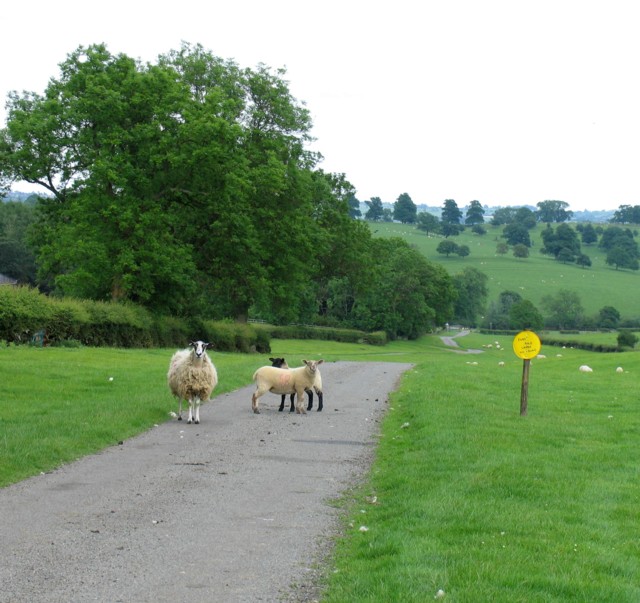
Lowesby is a small village located in the county of Leicestershire, England. Situated approximately 9 miles east of Leicester city, it falls within the Harborough district. The village is nestled in a picturesque rural setting, surrounded by rolling hills and lush green fields, which add to its serene and tranquil ambiance.

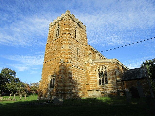
Lowesby is a historically significant village, with its origins dating back to medieval times. The village is characterized by its charming collection of traditional stone-built cottages and houses, many of which have retained their original architecture and features. The St. Michael and All Angels Church, a Grade II listed building, stands as a prominent landmark in the village and serves as a reminder of its rich heritage.

The community in Lowesby is close-knit and friendly, with a population of around 200 residents. The village maintains a strong sense of community spirit, hosting regular events and gatherings throughout the year. The village also has a village hall, which serves as a hub for various social activities and provides a venue for local meetings and events.

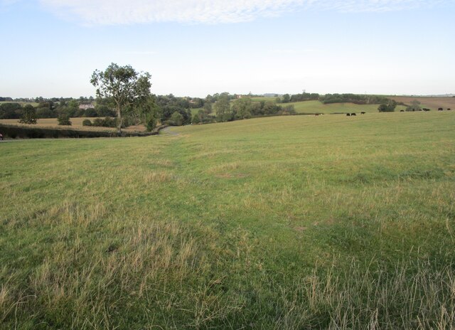
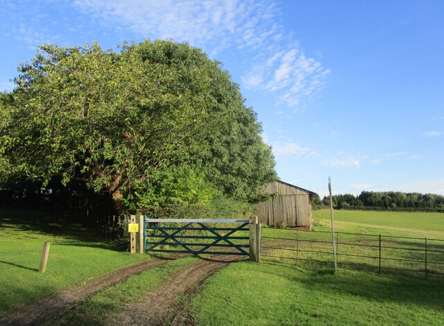
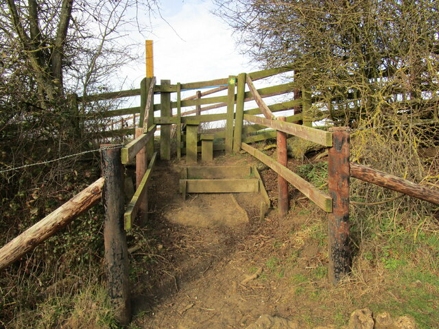
Although small in size, Lowesby is surrounded by a wealth of natural beauty and offers plenty of opportunities for outdoor activities. The village is located near the Leicestershire Round, a long-distance footpath that allows visitors to explore the stunning countryside and enjoy scenic walks. Additionally, the nearby Bradgate Park and Burrough Hill Country Park offer further recreational options for nature enthusiasts.

Overall, Lowesby is a charming and idyllic village, offering a peaceful retreat from the hustle and bustle of city life, while still providing easy access to nearby amenities and attractions.

If you have any feedback on the listing, please let us know in the comments section below.
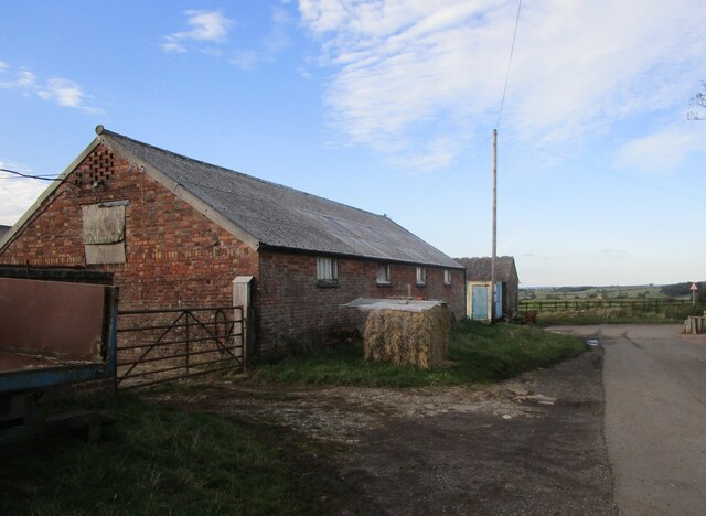
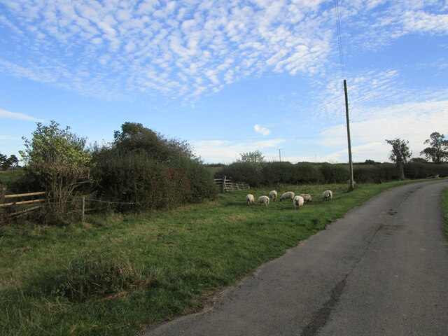
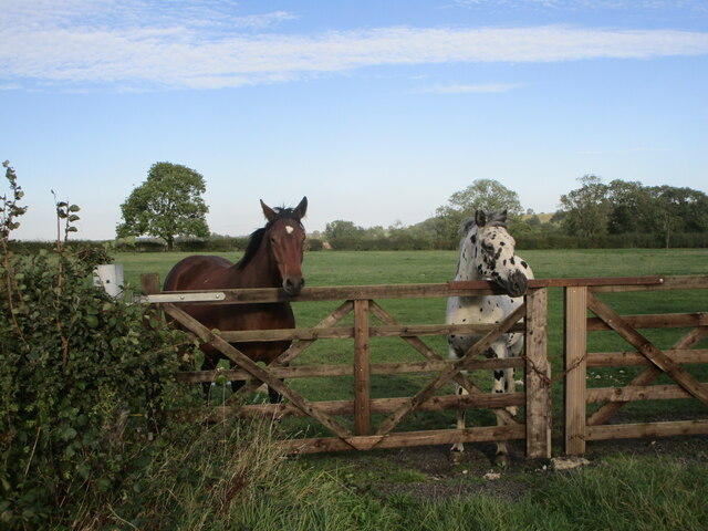
Lowesby Images

Images are sourced within 2km of 52.660356/-0.930616 or Grid Reference SK7207. Thanks to Geograph Open Source API. All images are credited.

Grassland, Skeg Hill
Farm building, Cold Newton
Sheep at Cold Newton On the site of the medieval village.
Sheep at Cold Newton
On the site of the medieval village.
Horses at Cold Newton
All Saints' church. Lowesby Restored medieval church <span class="nowrap"><a title="https://historicengland.org.uk/listing/the-list/list-entry/1295216" rel="nofollow ugc noopener" href="https://historicengland.org.uk/listing/the-list/list-entry/1295216">Link</a><img style="margin-left:2px;" alt="External link" title="External link - shift click to open in new window" src="https://s1.geograph.org.uk/img/external.png" width="10" height="10"/></span>
All Saints' church. Lowesby
Restored medieval church LinkExternal link
The beginning of a footpath to Tilton on the Hill
View from the junction
View from a lay-by
View from a lay-by
Lowesby Hall Listed Grade II, early 18th century.
Lowesby Hall
Listed Grade II, early 18th century.
Steps and stile with dog gate
Park Road
Park Road
Gate and fields
Gate and fields
Park Road
Park Road
Marefield Lane towards Lowesby
Marefield Lane towards Marefield
Northwards from Marefield Lane
Southwards from Marefield Lane Caudle Field Farm is to the right.
Southwards from Marefield Lane
Caudle Field Farm is to the right.
Marefield: railway bridge A brick bridge with an ironstone parapet (and some huge ironstone blocks in the abutments) on the former GN&LNWJt Line from Melton to Market Harborough, immediately north of Marefield Junction, where the Great Northern line to Leicester Belgrave Road diverged.
Marefield: railway bridge
A brick bridge with an ironstone parapet (and some huge ironstone blocks in the abutments) on the former GN&LNWJt Line from Melton to Market Harborough, immediately north of Marefield Junction, where the Great Northern line to Leicester Belgrave Road diverged.
Show me another place!

Lowesby is located at Grid Ref: SK7207 (Lat: 52.660356, Lng: -0.930616)

Administrative County: Leicestershire

District: Harborough

Police Authority: Leicestershire

What 3 Words

///moats.fidgeted.acclaimed. Near Houghton on the Hill, Leicestershire

Nearby Locations

Lowesby Lowesby Village

Related Wikis

Lowesby

Lowesby is a small parish and township situated in the district of Harborough in Leicestershire. It is 8 miles east of the county capital, Leicester, and...
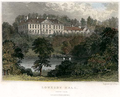
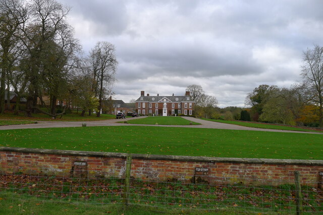
Lowesby Hall

Lowesby Hall is a large Grade II* Georgian mansion in the parish and former manor of Lowesby, eight miles east of Leicester in Leicestershire. It is a...

Cold Newton

Cold Newton is a small hamlet and civil parish in the Harborough district of Leicestershire, England. It is situated about two miles from Tilton on the...

Lowesby railway station

Lowesby railway station (originally Loseby) was a railway station serving the villages of Lowesby and Tilton on the Hill, Leicestershire, England on the...

Nearby Amenities

Located within 500m of 52.660356,-0.930616
Lowesby
Place: village
Lat/Long: 52.6604141/-0.9302612
Barrier: cattle_grid
Lat/Long: 52.6571049/-0.9345404
Bus Stop
Lowesby Turn
Bus: yes
Naptan AtcoCode: 260022200
Naptan Bearing: NW
Naptan CommonName: Lowesby Turn
Naptan Indicator: junction
Naptan Landmark: Lowesby Lane
Naptan NaptanCode: leijmptm
Naptan Notes: Non-Hourly - County
Naptan Street: Melton road
Naptan Verified: no
Public Transport: platform
Source: naptan_import
Lat/Long: 52.6639821/-0.9263228
Village Centre
Naptan AtcoCode: 260022202
Naptan Bearing: SW
Naptan BusStopType: CUS
Naptan CommonName: Village Centre
Naptan Indicator: opposite
Naptan Landmark: school
Naptan NaptanCode: leijmptw
Naptan Notes: Non-Hourly - County
Naptan Street: Church Hill
Naptan Verified: no
Source: naptan_import
Lat/Long: 52.6604935/-0.9302674
Village Centre
Naptan AtcoCode: 260022203
Naptan Bearing: NE
Naptan BusStopType: CUS
Naptan CommonName: Village Centre
Naptan Indicator: outside
Naptan Landmark: school
Naptan NaptanCode: leijmpwa
Naptan Notes: Non-Hourly - County
Naptan Street: Church Hill
Naptan Verified: no
Source: naptan_import
Lat/Long: 52.6606389/-0.9304413
Power: pole
Lat/Long: 52.6595667/-0.9282316
Power: pole
Lat/Long: 52.6609689/-0.9276577
Power: pole
Lat/Long: 52.6632368/-0.9281834
Power: pole
Lat/Long: 52.6624883/-0.9281619
Power: pole
Lat/Long: 52.6625893/-0.9270461
Power: pole
Lat/Long: 52.6593747/-0.9271588
Power: pole
Lat/Long: 52.6601491/-0.9273787
Power: pole
Lat/Long: 52.6640207/-0.9282531
Power: pole
Lat/Long: 52.6618312/-0.9279473
Power: pole
Lat/Long: 52.6597303/-0.9292238
Barrier: stile
Lat/Long: 52.6618555/-0.9329446
Barrier: stile
Lat/Long: 52.6608109/-0.9317438
Lowesby Park
Place: locality
Source: OS_OpenData_StreetView
Lat/Long: 52.6637873/-0.9338381
Telephone
Booth: K6
Covered: booth
Listed Status: Grade II
Operator: BT
Phone: +44 116 259 5211
Lat/Long: 52.6605721/-0.9297045
Post Box
Post Box Type: lamp
Lat/Long: 52.6605916/-0.9296401
The data included in this document is from www.openstreetmap.org. The data is made available under ODbL.

Have you been to Lowesby?

Leave your review of Lowesby below (or comments, questions and feedback).