Glac Mhòr
Corrie (Glacial Valley) in Argyllshire
Scotland
Glac Mhòr

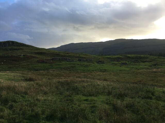
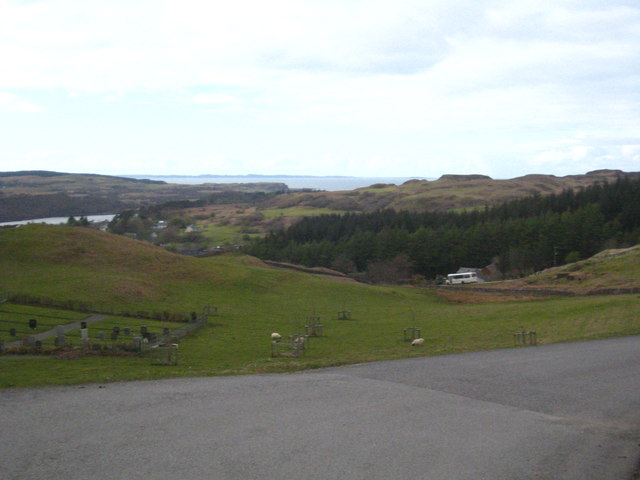
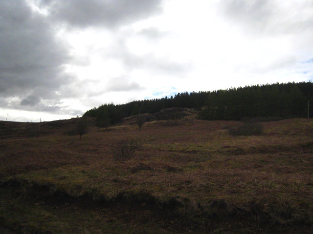
Glac Mhòr, located in Argyllshire, Scotland, is a stunning glacial valley known for its breathtaking natural beauty and rich geological history. This valley, also known as Corrie, is nestled within the rugged landscape of the Argyll Forest Park.
Glac Mhòr was formed during the last ice age, approximately 10,000 years ago, when massive glaciers carved out this deep and narrow valley. The glacial forces reshaped the terrain, leaving behind steep walls and a U-shaped valley floor.
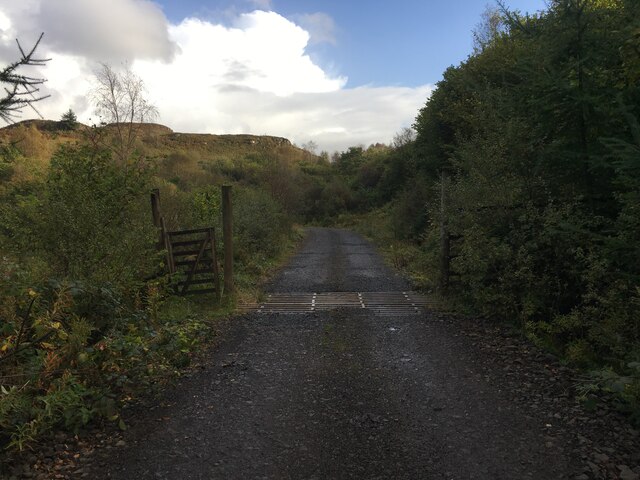
The valley is flanked by towering mountains and is home to a number of cascading waterfalls. The surrounding landscape is characterized by dense forests, dotted with lush greenery and diverse wildlife. The valley is also crisscrossed by meandering streams and rivers, adding to its natural charm.
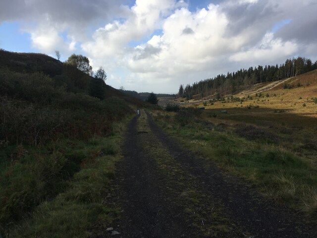
The area around Glac Mhòr offers extensive opportunities for outdoor enthusiasts. Hiking trails wind their way through the valley, providing access to breathtaking viewpoints and hidden gems. The valley is also popular among climbers, with its steep rock faces offering thrilling challenges for experienced climbers.
The unique geological features of Glac Mhòr make it an important site for scientific research. Geologists and environmentalists study the valley to gain insight into the processes of glacial erosion and the formation of landforms.
Glac Mhòr, with its awe-inspiring natural beauty and geological significance, is a must-visit destination for nature lovers and adventure seekers alike. It offers a glimpse into the ancient forces that shaped the Scottish landscape and provides a peaceful retreat in the heart of Argyllshire.
If you have any feedback on the listing, please let us know in the comments section below.
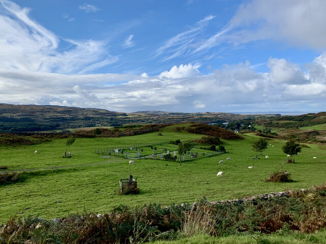
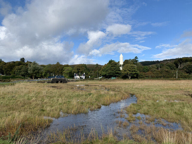
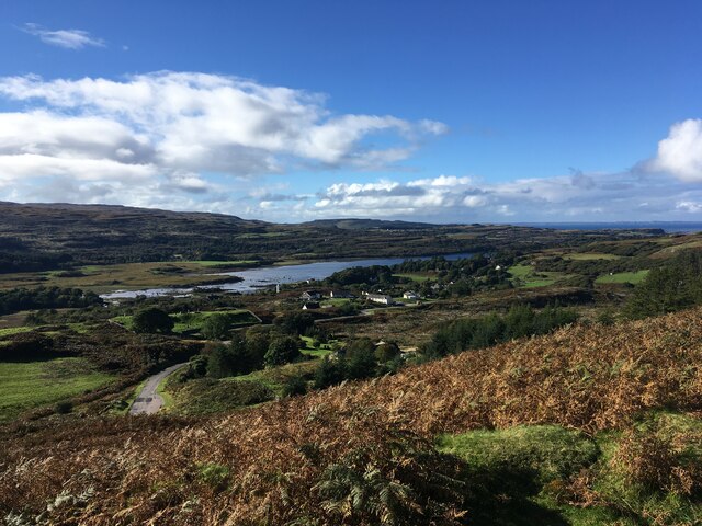
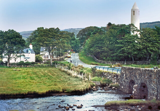
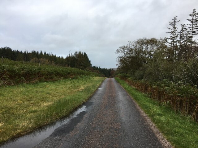
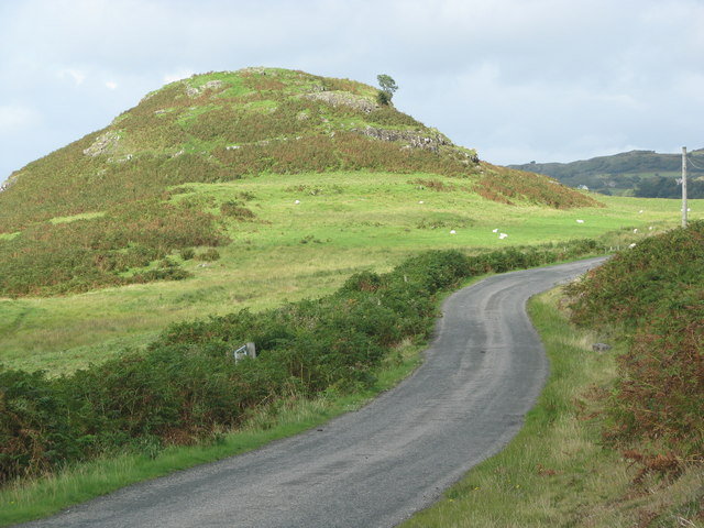
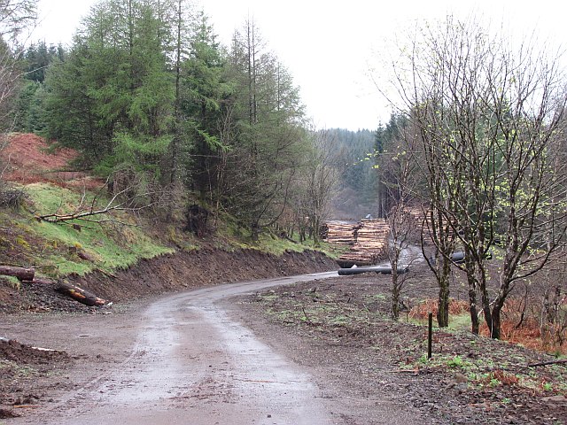
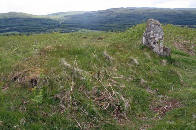
Glac Mhòr Images
Images are sourced within 2km of 56.586747/-6.1755466 or Grid Reference NM4351. Thanks to Geograph Open Source API. All images are credited.
Glac Mhòr is located at Grid Ref: NM4351 (Lat: 56.586747, Lng: -6.1755466)
Unitary Authority: Argyll and Bute
Police Authority: Argyll and West Dunbartonshire
What 3 Words
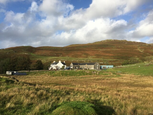
///quirky.giggles.typed. Near Dervaig, Argyll & Bute
Nearby Locations
Related Wikis

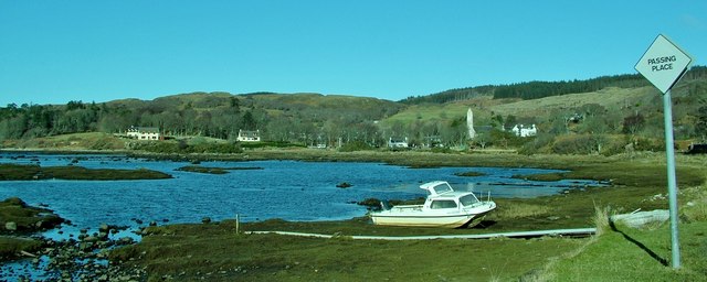
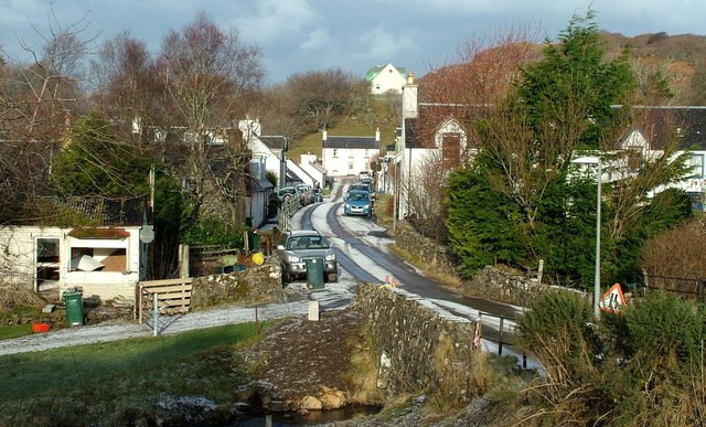
Dervaig
Dervaig (Scottish Gaelic: Dearbhaig) is a small village on the Isle of Mull off the west coast of Scotland. The village is within the parish of Kilninian...

Eas Fors
Eas Fors is a waterfall on the island of Mull in Scotland. It is situated on the Ardow Burn south of Dervaig. There is another Eas Fors on the Allt an...

Loch Frisa
Loch Frisa (Scottish Gaelic: Loch Friosa) is a loch on the Isle of Mull, Inner Hebrides, Scotland. It falls within the Argyll and Bute unitary authority...

Glengorm Castle
Glengorm Castle, also known as Castle Sorne, is a 19th-century country house on the Isle of Mull, Scotland. Located in Mishnish, 6 kilometres (4 mi) northwest...
Nearby Amenities
Located within 500m of 56.586747,-6.1755466Have you been to Glac Mhòr?
Leave your review of Glac Mhòr below (or comments, questions and feedback).