Glac Dhorcha
Corrie (Glacial Valley) in Argyllshire
Scotland
Glac Dhorcha
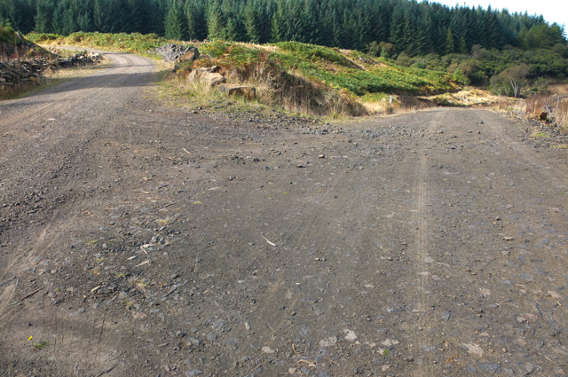
Glac Dhorcha, also known as Corrie (Glacial Valley), is a stunning geological feature located in Argyllshire, Scotland. Nestled amidst the breathtaking landscape of the region, Glac Dhorcha is a glacial valley that has been shaped by the powerful forces of ice over thousands of years.
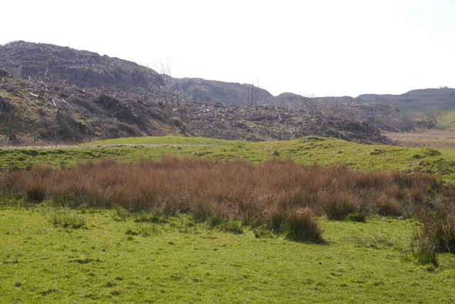
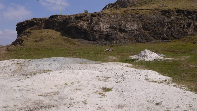
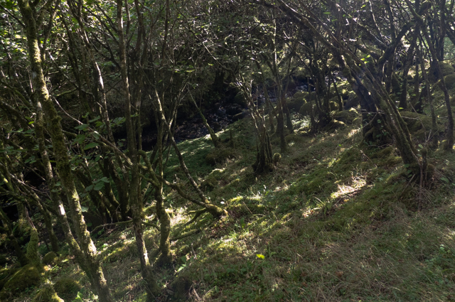
The valley is characterized by its U-shaped profile, with steep sides and a flat bottom, which is a telltale sign of its glacial origins. It stretches for approximately 2 kilometers and is surrounded by towering mountains, creating a dramatic and awe-inspiring setting.
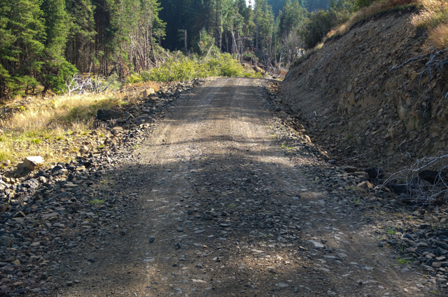
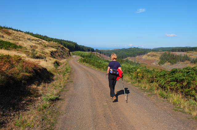
Glac Dhorcha is renowned for its outstanding natural beauty and is a popular destination for outdoor enthusiasts and nature lovers alike. The valley offers a range of activities, from hiking and rock climbing to wildlife spotting and photography.
The valley is home to a diverse range of flora and fauna, with an abundance of plant species thriving in the fertile soil. Visitors may come across wildflowers, mosses, and lichens, adding bursts of color to the landscape. The surrounding forests provide a haven for various bird species, such as golden eagles and peregrine falcons, making it a birdwatcher's paradise.
Glac Dhorcha also boasts several small streams and waterfalls, which further enhance its natural charm. These cascades add a soothing soundtrack to the valley and provide a refreshing spot for visitors to relax and enjoy the tranquility of the surroundings.
All in all, Glac Dhorcha in Argyllshire is a mesmerizing glacial valley that captivates visitors with its rugged beauty, diverse wildlife, and peaceful ambiance. It is a haven for outdoor enthusiasts and a must-visit destination for anyone seeking a true Scottish natural experience.
If you have any feedback on the listing, please let us know in the comments section below.
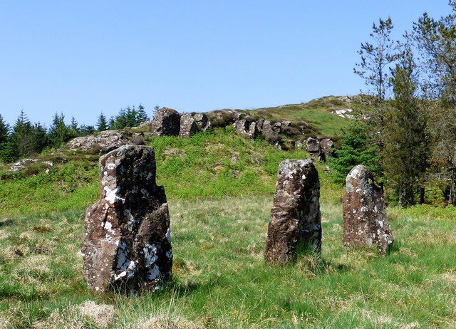
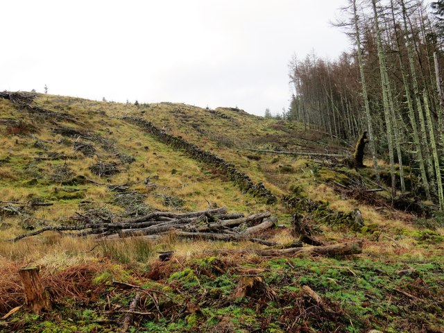
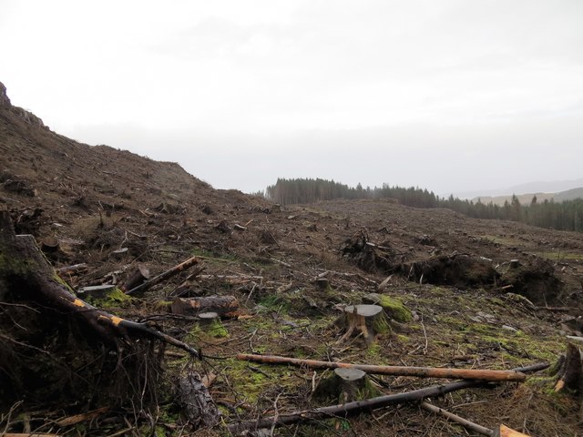
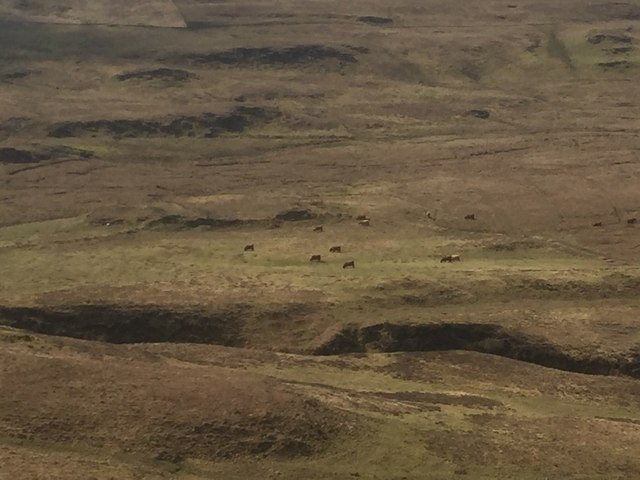
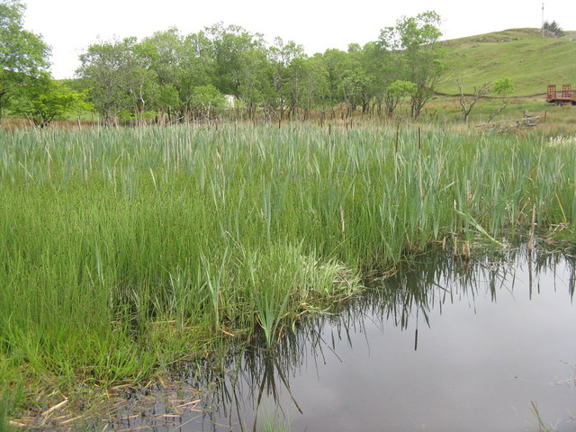
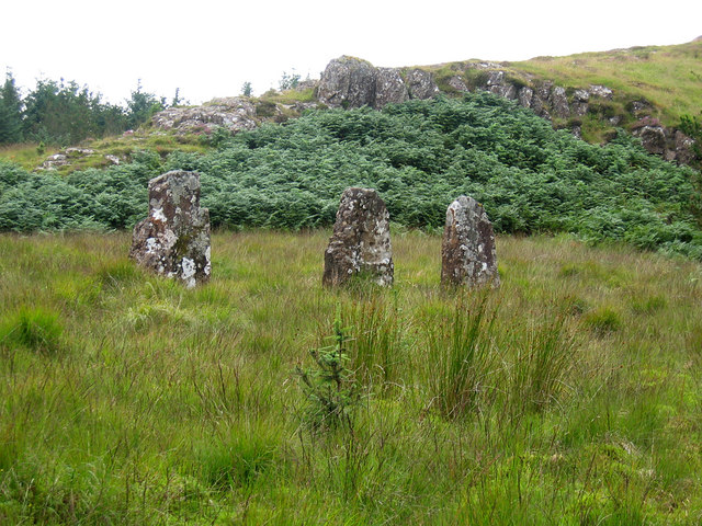
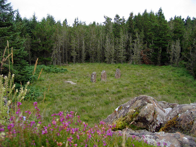
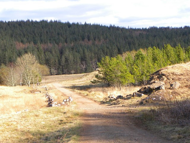
Glac Dhorcha Images
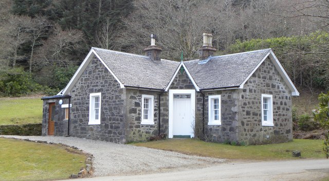
Images are sourced within 2km of 56.616671/-6.176506 or Grid Reference NM4355. Thanks to Geograph Open Source API. All images are credited.

Glac Dhorcha is located at Grid Ref: NM4355 (Lat: 56.616671, Lng: -6.176506)
Unitary Authority: Argyll and Bute
Police Authority: Argyll and West Dunbartonshire
What 3 Words
///translated.frail.articulated. Near Dervaig, Argyll & Bute
Nearby Locations
Related Wikis

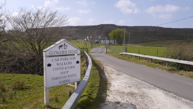
Glengorm Castle
Glengorm Castle, also known as Castle Sorne, is a 19th-century country house on the Isle of Mull, Scotland. Located in Mishnish, 6 kilometres (4 mi) northwest...

Dervaig
Dervaig (Scottish Gaelic: Dearbhaig) is a small village on the Isle of Mull off the west coast of Scotland. The village is within the parish of Kilninian...

Battle of Bloody Bay
The Battle of Bloody Bay, or Blàr Bàgh na Fala in Scottish Gaelic, was a naval battle fought near Tobermory, Scotland. It was fought on the coast of Mull...

Eas Fors
Eas Fors is a waterfall on the island of Mull in Scotland. It is situated on the Ardow Burn south of Dervaig. There is another Eas Fors on the Allt an...
Have you been to Glac Dhorcha?
Leave your review of Glac Dhorcha below (or comments, questions and feedback).