Cnoc Gurrabain
Hill, Mountain in Argyllshire
Scotland
Cnoc Gurrabain

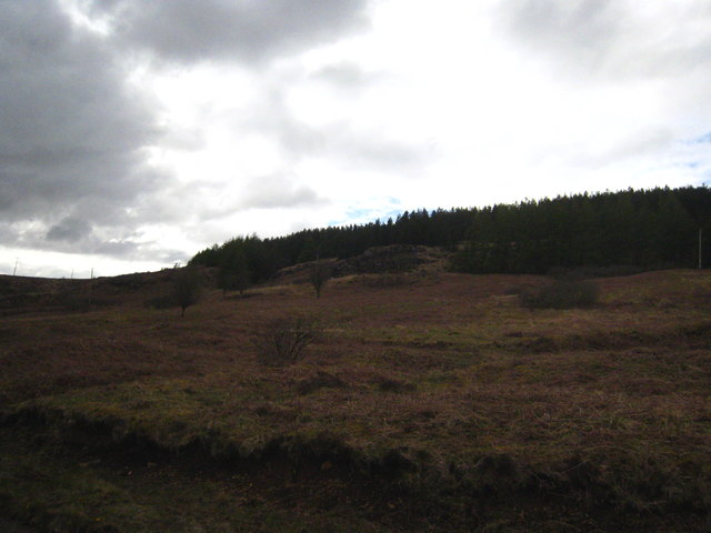
Cnoc Gurrabain is a prominent hill located in Argyllshire, Scotland. Situated in the western part of the country, it forms an integral part of the stunning landscape of this region. The hill rises to a height of approximately 653 meters (2,142 feet) above sea level, making it a significant geological feature in the area.
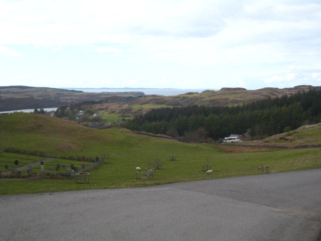
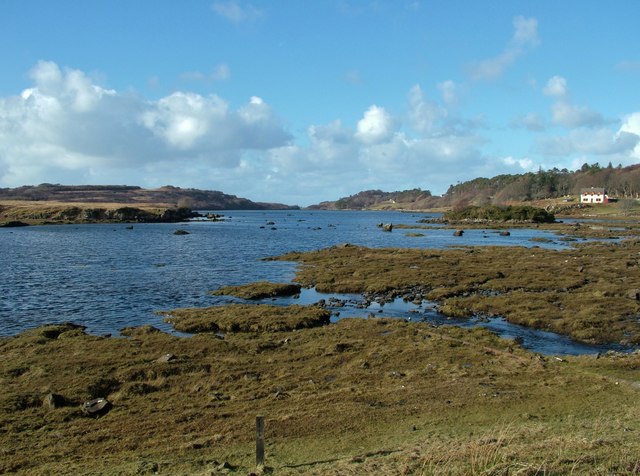
Cnoc Gurrabain is characterized by its rugged terrain, with rocky slopes and steep inclines. The hill offers breathtaking panoramic views of the surrounding countryside, including verdant valleys, sparkling lochs, and distant mountains. On clear days, it is possible to see as far as the islands of Jura and Mull from its summit.
The hill is a popular destination for hikers and outdoor enthusiasts, attracting both locals and tourists alike. Several well-marked trails lead to the summit, offering various levels of difficulty to cater to different skill levels. The ascent can be challenging, requiring a moderate level of fitness, but the reward of the stunning vistas is well worth the effort.
Cnoc Gurrabain is also notable for its rich biodiversity. The hill is home to a diverse range of plant and animal species, including heather, mosses, and various birds of prey. It serves as an important habitat for native wildlife and contributes to the preservation of Argyllshire's natural heritage.
Overall, Cnoc Gurrabain is a majestic hill that showcases the beauty of Argyllshire's landscape. Its challenging ascent, breathtaking views, and ecological significance make it a must-visit destination for nature lovers and outdoor adventurers.
If you have any feedback on the listing, please let us know in the comments section below.
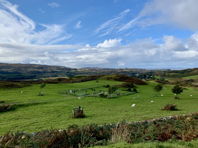
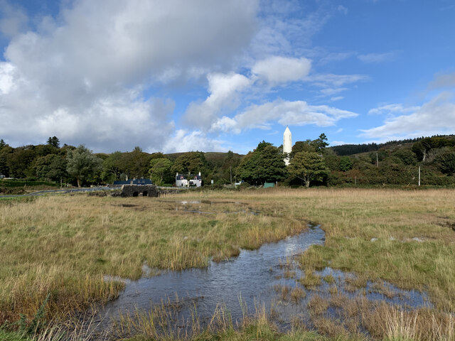
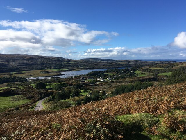
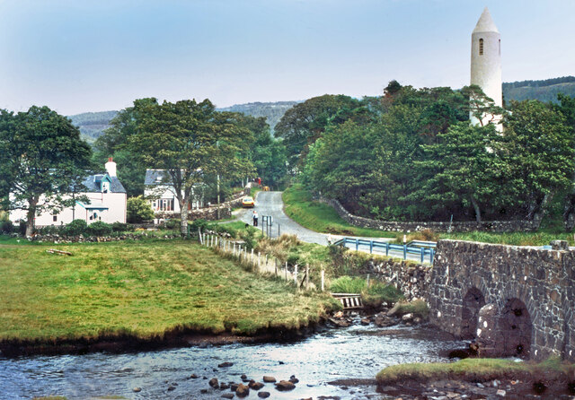
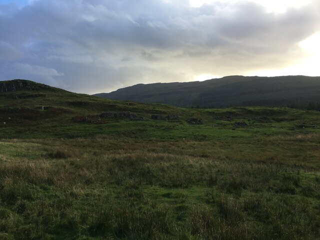
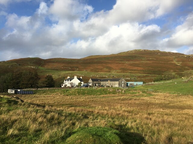
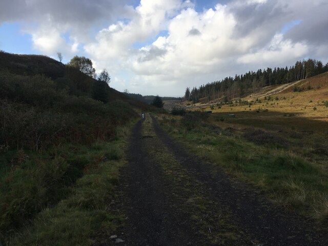
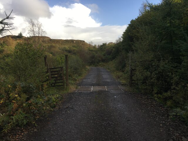
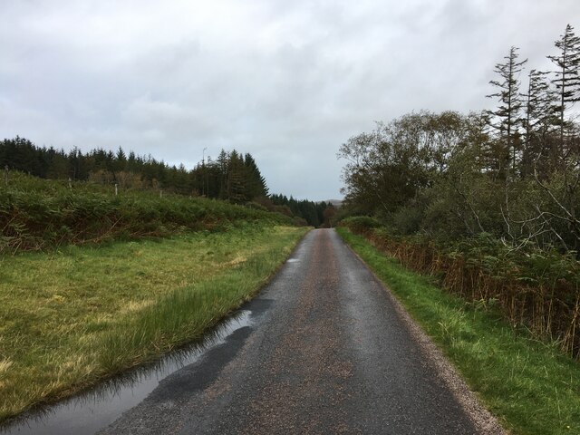
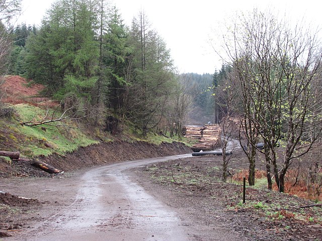
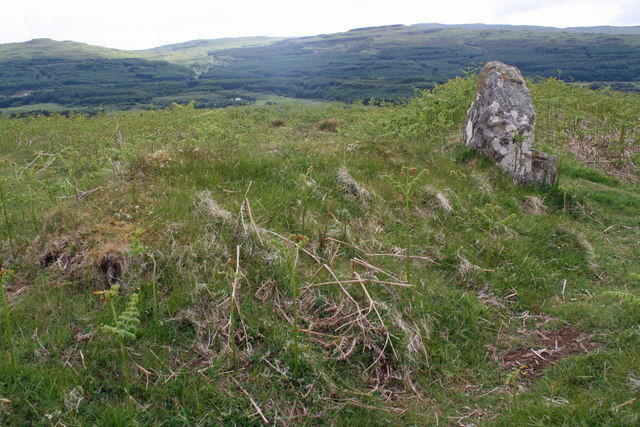
Cnoc Gurrabain Images
Images are sourced within 2km of 56.588026/-6.1829733 or Grid Reference NM4351. Thanks to Geograph Open Source API. All images are credited.
Cnoc Gurrabain is located at Grid Ref: NM4351 (Lat: 56.588026, Lng: -6.1829733)
Unitary Authority: Argyll and Bute
Police Authority: Argyll and West Dunbartonshire
What 3 Words
///inflame.triathlon.tenders. Near Dervaig, Argyll & Bute
Nearby Locations
Related Wikis

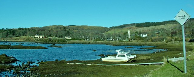
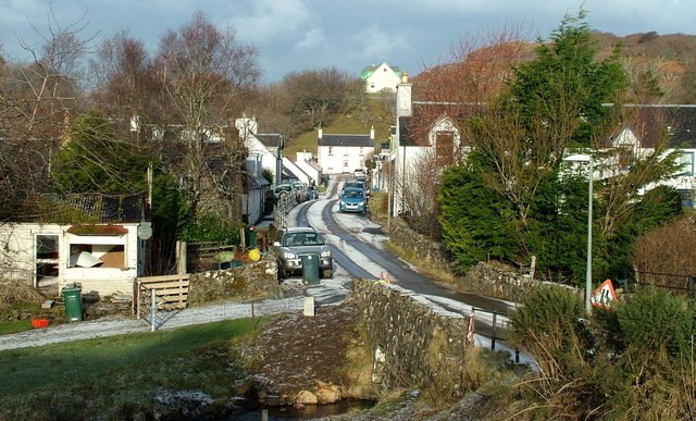
Dervaig
Dervaig (Scottish Gaelic: Dearbhaig) is a small village on the Isle of Mull off the west coast of Scotland. The village is within the parish of Kilninian...

Eas Fors
Eas Fors is a waterfall on the island of Mull in Scotland. It is situated on the Ardow Burn south of Dervaig. There is another Eas Fors on the Allt an...

Calgary Castle
Calgary Castle, also known as Calgary House, is a 19th-century castellated Gothic mansion at Calgary on the Isle of Mull, Scotland. The mansion faces Calgary...

Glengorm Castle
Glengorm Castle, also known as Castle Sorne, is a 19th-century country house on the Isle of Mull, Scotland. Located in Mishnish, 6 kilometres (4 mi) northwest...
Nearby Amenities
Located within 500m of 56.588026,-6.1829733Have you been to Cnoc Gurrabain?
Leave your review of Cnoc Gurrabain below (or comments, questions and feedback).