Loch na Cuilce

Lake, Pool, Pond, Freshwater Marsh in Argyllshire

Scotland

Loch na Cuilce

At Achnadrish Looking towards Loch Frisa.
At Achnadrish Credit: Andrew Abbott

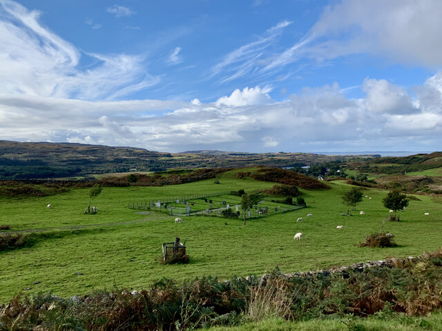
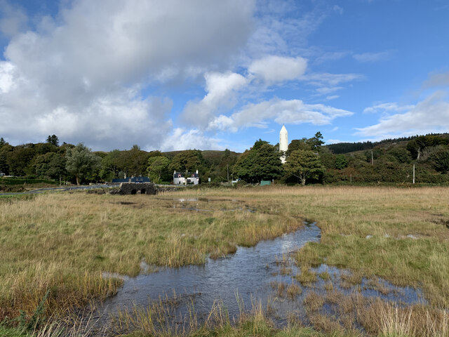
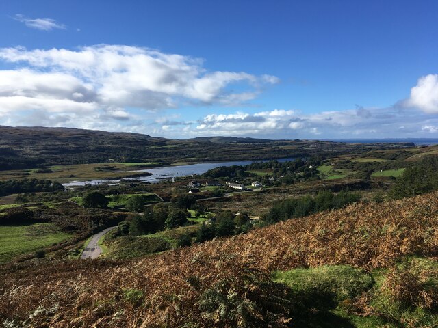
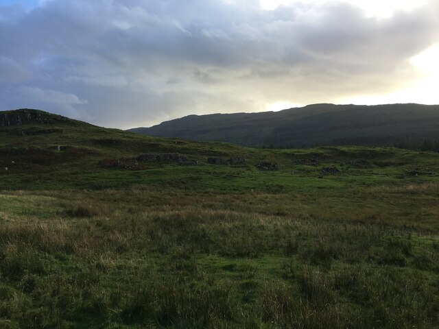
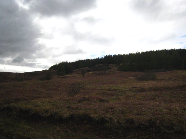
Loch na Cuilce is a picturesque freshwater loch located in Argyllshire, Scotland. Nestled amidst the breathtaking landscape of the Scottish Highlands, this body of water is often described as a lake due to its size and depth. It covers an area of approximately 2.5 acres and has an average depth of 10 meters.

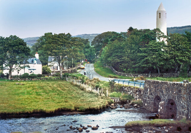
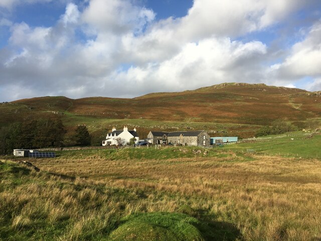
Surrounded by lush greenery and rolling hills, Loch na Cuilce offers a tranquil and serene setting for visitors to enjoy. Its crystal-clear waters are home to a diverse range of aquatic flora and fauna, making it a popular spot for nature enthusiasts and wildlife observers.

The loch is bordered by reed beds and freshwater marshes, which provide a habitat for numerous bird species such as ducks, swans, and herons. These marshes also support a variety of plant life, including water lilies and bulrushes, adding to the loch's natural beauty.

Fishing is a popular activity at Loch na Cuilce, with anglers drawn to its abundance of brown trout. The loch's deep waters and rocky shores create an ideal environment for these fish to thrive. Fishing permits are required, and visitors can enjoy a peaceful day on the water, surrounded by the stunning scenery.

With its tranquil atmosphere, diverse wildlife, and stunning natural surroundings, Loch na Cuilce is a hidden gem within the Argyllshire region. Whether one seeks a peaceful retreat or an opportunity to connect with nature, this loch offers a truly unforgettable experience.

If you have any feedback on the listing, please let us know in the comments section below.

Loch na Cuilce Images

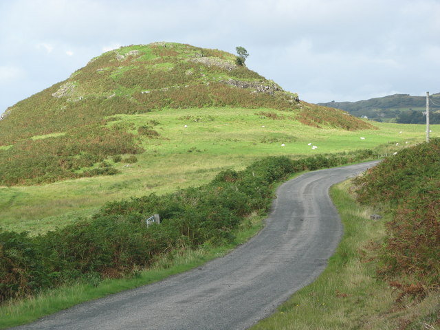
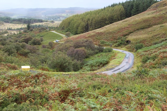
Images are sourced within 2km of 56.584221/-6.1827316 or Grid Reference NM4351. Thanks to Geograph Open Source API. All images are credited.

At Achnadrish Looking towards Loch Frisa.
At Achnadrish
Looking towards Loch Frisa.
Old Cemetery Above Dervaig
Old Cemetery
Above Dervaig
Approaching Dervaig From the south.
Approaching Dervaig
From the south.
View over Dervaig, Mull
Dervaig, Isle of Mull The River Bellart and Kilmore church tower at Dervaig.
Dervaig, Isle of Mull
The River Bellart and Kilmore church tower at Dervaig.
Ruined village at Torr Aint
Farm at Aintuim
Farm at Aintuim
Forestry road near Dervaig
Minor road towards Dervaig
Torr Aint hillfort above the road to Dervaig
Woods by the road to Achleck
Waterfall on the Ardow Burn
Steep climb out of Glen Bellart
Timber extraction, Ardhu Woodlands The forest is now community owned <span class="nowrap"><a title="http://www.nwmullwoodland.co.uk/" rel="nofollow ugc noopener" href="http://www.nwmullwoodland.co.uk/">Link</a><img style="margin-left:2px;" alt="External link" title="External link - shift click to open in new window" src="https://s1.geograph.org.uk/img/external.png" width="10" height="10"/></span>  and it is planned to remove the maturing Sitka spruce over the coming few years.
Timber extraction, Ardhu Woodlands
The forest is now community owned LinkExternal link and it is planned to remove the maturing Sitka spruce over the coming few years.
Eas Fors Waterfalls on the Ardow Burn after a day of rain.
Eas Fors
Waterfalls on the Ardow Burn after a day of rain.
Standing stones by the view point above Dervaig I think this is what RCAHMS's Canmore describe this as '3 standing stones, now forming part of a dyke, midway between the five well-known standing stones and the Dervaig road. One is broken to a stump, and they are much overgrown, but they seem to have formed a row in line with the 5 already mentioned'.
Standing stones by the view point above Dervaig
I think this is what RCAHMS's Canmore describe this as '3 standing stones, now forming part of a dyke, midway between the five well-known standing stones and the Dervaig road. One is broken to a stump, and they are much overgrown, but they seem to have formed a row in line with the 5 already mentioned'.
Looking down the B8073 towards Dervaig On the left is one of two graveyards along this stretch of road.
Looking down the B8073 towards Dervaig
On the left is one of two graveyards along this stretch of road.
Moorland beside the B8073 On the way to Dervaig.
Moorland beside the B8073
On the way to Dervaig.
Show me another place!

Loch na Cuilce is located at Grid Ref: NM4351 (Lat: 56.584221, Lng: -6.1827316)

Unitary Authority: Argyll and Bute

Police Authority: Argyll and West Dunbartonshire

What 3 Words

///dating.guideline.extension. Near Dervaig, Argyll & Bute

Related Wikis

Dervaig

Dervaig (Scottish Gaelic: Dearbhaig) is a small village on the Isle of Mull off the west coast of Scotland. The village is within the parish of Kilninian...
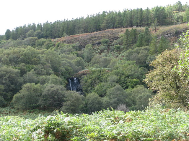
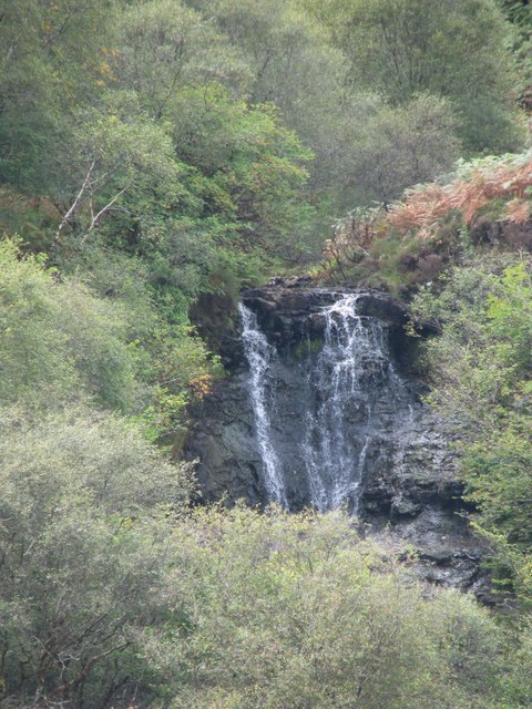
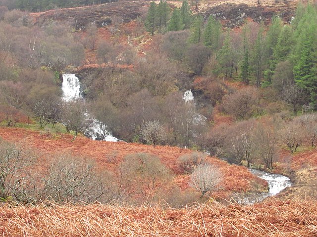
Eas Fors

Eas Fors is a waterfall on the island of Mull in Scotland. It is situated on the Ardow Burn south of Dervaig. There is another Eas Fors on the Allt an...

Calgary Castle

Calgary Castle, also known as Calgary House, is a 19th-century castellated Gothic mansion at Calgary on the Isle of Mull, Scotland. The mansion faces Calgary...

Calgary, Mull

Calgary is a hamlet on the northwest coast of the Isle of Mull, in Argyll and Bute, Scotland, United Kingdom. The hamlet is within the parish of Kilninian...

Nearby Amenities

Located within 500m of 56.584221,-6.1827316
Telephone
Booth: K6
Covered: booth
Lat/Long: 56.5880348/-6.1863319
Passing Place
Lat/Long: 56.5864696/-6.1872233
Generator Output Electricity: yes
Generator Source: solar
Generator Type: solar_photovoltaic_panel
Location: roof
Power: generator
Lat/Long: 56.5850817/-6.1776102
Generator Method: photovoltaic
Generator Output Electricity: yes
Generator Source: solar
Generator Type: solar_photovoltaic_panel
Location: roof
Operator: Private
Power: generator
Lat/Long: 56.5870115/-6.1817327
Power: pole
Lat/Long: 56.5804596/-6.1864024
Power: pole
Lat/Long: 56.5804108/-6.184946
Power: pole
Lat/Long: 56.5803769/-6.1835995
Power: pole
Lat/Long: 56.5803252/-6.1822102
Power: pole
Lat/Long: 56.5802882/-6.1808959
Power: pole
Lat/Long: 56.5802513/-6.1795574
Noexit: yes
Lat/Long: 56.5858044/-6.1795705
Bench
In Memory of Audrey & Kim Finlay
Backrest: yes
Colour: brown
Description: In memory of Audrey & Kim Finlay who lived at west Ardhu from 1947 for nearly 50 years
Material: wood
Lat/Long: 56.5875325/-6.1864068
Barrier: cattle_grid
Lat/Long: 56.5873786/-6.187155
Power: pole
Lat/Long: 56.5881375/-6.1829366
Power: pole
Lat/Long: 56.5875406/-6.1818423
Power: pole
Lat/Long: 56.5874351/-6.1816403
Power: pole
Lat/Long: 56.5869119/-6.1807089
Power: pole
Lat/Long: 56.586332/-6.1796207
Power: pole
Lat/Long: 56.5841598/-6.175633
Power: pole
Lat/Long: 56.581067/-6.18854
Power: pole
Lat/Long: 56.5813247/-6.1879424
Power: pole
Lat/Long: 56.5816288/-6.1872273
Power: pole
Lat/Long: 56.5823745/-6.1869017
Power: pole
Lat/Long: 56.5828875/-6.1866688
Power: pole
Lat/Long: 56.5834482/-6.1864112
Power: pole
Lat/Long: 56.5841496/-6.1860979
Power: pole
Lat/Long: 56.5850961/-6.1856693
Power: pole
Lat/Long: 56.5858179/-6.185354
Power: pole
Lat/Long: 56.5867417/-6.1849336
Power: pole
Lat/Long: 56.5871366/-6.184913
Design: delta
Material: wood
Power: pole
Lat/Long: 56.5874918/-6.1846883
Power: pole
Lat/Long: 56.5879151/-6.1843854
Power: pole
Lat/Long: 56.5885563/-6.1839959
Design: delta
Material: wood
Power: pole
Lat/Long: 56.5874941/-6.1853375
Power: pole
Lat/Long: 56.5874805/-6.1858836
Entrance: yes
Lat/Long: 56.587297/-6.1849615
Defibrillator
Defibrillator Location: By the main entrance
Emergency: defibrillator
Indoor: no
Lat/Long: 56.587296/-6.1849253
The data included in this document is from www.openstreetmap.org. The data is made available under ODbL.

Have you been to Loch na Cuilce?

Leave your review of Loch na Cuilce below (or comments, questions and feedback).