Drift Reservoir

Lake, Pool, Pond, Freshwater Marsh in Cornwall

England

Drift Reservoir

Drift : Road A road off the A30.
Drift : Road Credit: Lewis Clarke

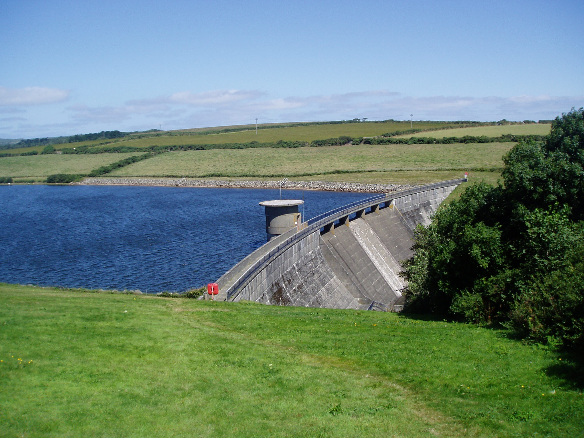
Drift Reservoir, located in Cornwall, England, is a picturesque freshwater lake nestled within the Drift Woods Nature Reserve. Spanning an area of approximately 47 acres, this man-made reservoir was constructed in the 1960s to provide a reliable water supply to the nearby town of Penzance.

The reservoir is situated at the confluence of several streams and is bordered by lush vegetation, including reed beds, woodland, and wetland areas. These diverse ecosystems support a wide array of flora and fauna, making Drift Reservoir a haven for wildlife enthusiasts and nature lovers.

The calm and tranquil waters of the reservoir are ideal for various recreational activities, such as fishing and boating. Anglers can enjoy fishing for a variety of fish species, including brown trout, rainbow trout, and perch, which are regularly stocked in the lake. Boating enthusiasts can take advantage of the boat launch area to explore the reservoir's scenic surroundings.

Drift Reservoir also serves as an important habitat for numerous bird species, attracting birdwatchers from far and wide. Visitors can spot a variety of birds, including herons, kingfishers, swans, and a range of waterfowl. The lush vegetation surrounding the reservoir provides nesting grounds and feeding areas for these avian residents.

The reservoir is easily accessible, with designated footpaths and trails allowing visitors to explore the area at their own pace. There are also picnic areas and benches scattered around the reservoir, offering visitors the opportunity to relax and take in the stunning natural beauty.

In summary, Drift Reservoir in Cornwall is a scenic freshwater lake that provides a vital water source for the region while supporting a diverse range of plants and wildlife. With its recreational activities, birdwatching opportunities, and serene atmosphere, it is a popular destination for locals and tourists alike.

If you have any feedback on the listing, please let us know in the comments section below.

Drift Reservoir Images

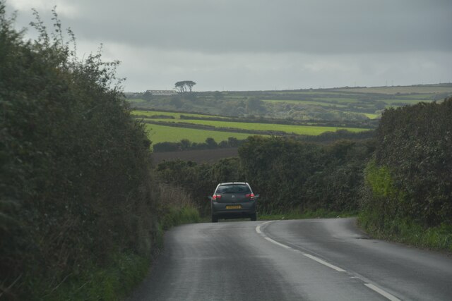
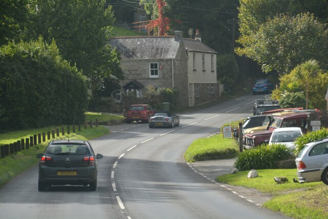
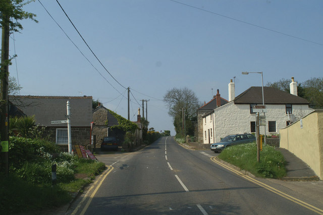
Images are sourced within 2km of 50.107696/-5.5906954 or Grid Reference SW4329. Thanks to Geograph Open Source API. All images are credited.

Drift : Road A road off the A30.
Drift : Road
A road off the A30.
Drift : Westways A house off the A30.
Drift : Westways
A house off the A30.
Drift : A30 Looking along the A30.
Drift : A30
Looking along the A30.
Drift : A30 The A30 seen at the junction from Penzance Road.
Drift : A30
The A30 seen at the junction from Penzance Road.
Drift : Driveway A driveway off Penzance Road.
Drift : Driveway
A driveway off Penzance Road.
Sancreed : A30 Looking along the A30.
Sancreed : A30
Looking along the A30.
Sancreed : A30 The road twists around the countryside.
Sancreed : A30
The road twists around the countryside.
Drift : A30 Looking along the A30.
Drift : A30
Looking along the A30.
Drift : A30 Looking along the A30.
Drift : A30
Looking along the A30.
Drift : A30 Heading along the A30.
Drift : A30
Heading along the A30.
Buryas Bridge : A30 Looking along the A30.
Buryas Bridge : A30
Looking along the A30.
View from Sancreed Beacon The view across to St. Michael's Mount from the road passing Sancreed Beacon.
View from Sancreed Beacon
The view across to St. Michael's Mount from the road passing Sancreed Beacon.
Drift Methodist Church
Descending Sancreed Beacon As I descended Sancreed Beacon I looked across the valley. The white art deco Tregannick House was plain to see and beyond it, Trannack Farm.
Descending Sancreed Beacon
As I descended Sancreed Beacon I looked across the valley. The white art deco Tregannick House was plain to see and beyond it, Trannack Farm.
The road into Sancreed Spring flowers are blooming on the grass verge at the approach to Sancreed village.
The road into Sancreed
Spring flowers are blooming on the grass verge at the approach to Sancreed village.
Approaching Sancreed The church becomes visible through the trees.
Approaching Sancreed
The church becomes visible through the trees.
Steps into the churchyard at Sancreed The flight of steps and gate into the churchyard, over-arched by the camellia which begins to bloom in December and is still going strong in March.
Steps into the churchyard at Sancreed
The flight of steps and gate into the churchyard, over-arched by the camellia which begins to bloom in December and is still going strong in March.
Sundial above the porch of Sancreed church A telephoto shot showing detail of the sundial, which is very weathered. A barely legible inscription shows it was made in 1752.
Sundial above the porch of Sancreed church
A telephoto shot showing detail of the sundial, which is very weathered. A barely legible inscription shows it was made in 1752.
Show me another place!

Drift Reservoir is located at Grid Ref: SW4329 (Lat: 50.107696, Lng: -5.5906954)

Unitary Authority: Cornwall

Police Authority: Devon and Cornwall

What 3 Words

///vowing.spark.profiled. Near Penzance, Cornwall

Related Wikis

Drift Reservoir

Drift Reservoir is a reservoir in Cornwall, England, UK, just north of the village of Drift and west of Penzance. The reservoir is 1,200 yards (1,100 m...

Drift, Cornwall

Drift is a village on the A30 road in west Cornwall, England, United Kingdom. The village is in the civil parish of Sancreed and is approximately two...
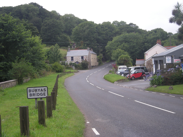
Buryas Bridge

Buryas Bridge is a hamlet on the A30 between Land's End and Penzance in west Cornwall, England, UK. == History == The hamlet and bridge are on the modern...

Tregavarah

Tregavarah (Cornish: Tregoverow, meaning farm of streams, grid reference SW445298) is a small hamlet in the parish of Madron in west Cornwall, England...

Nearby Amenities

Located within 500m of 50.107696,-5.5906954
Power: pole
Lat/Long: 50.1107383/-5.5860114
Power: pole
Lat/Long: 50.1098834/-5.5871782
Power: pole
Lat/Long: 50.1090474/-5.5865532
Power: pole
Lat/Long: 50.1081392/-5.5858129
Power: pole
Lat/Long: 50.1071105/-5.5851021
Power: pole
Lat/Long: 50.1060869/-5.5842733
Bench
Lat/Long: 50.1069092/-5.592602
Tourism: viewpoint
Lat/Long: 50.1076159/-5.5929703
Tourism: viewpoint
Lat/Long: 50.1093018/-5.5951856
Tourism: viewpoint
Lat/Long: 50.1091335/-5.5945471
Bird watching house
Description: This is a bird watching house of the Cornwall Bird-watching and Preservation Society.
Tourism: viewpoint
Website: https://www.cbwps.org.uk/
Lat/Long: 50.1087379/-5.5929317
Bench
Lat/Long: 50.1081745/-5.5929857
Tourism: viewpoint
Lat/Long: 50.1071532/-5.5929002
Tourism: viewpoint
Lat/Long: 50.1090296/-5.5936798
Bench
Lat/Long: 50.1053677/-5.5903011
Bench
Lat/Long: 50.1051901/-5.5910164
Parking
Lat/Long: 50.1036684/-5.5921865
Boat Rental
Lat/Long: 50.1044438/-5.5870327
Bench
Lat/Long: 50.105494/-5.5918861
Bench
Lat/Long: 50.1067941/-5.5924697
Bench
Lat/Long: 50.1054881/-5.5896703
Bench
Lat/Long: 50.1065104/-5.5922994
Bench
Lat/Long: 50.1054086/-5.5890439
The data included in this document is from www.openstreetmap.org. The data is made available under ODbL.

Have you been to Drift Reservoir?

Leave your review of Drift Reservoir below (or comments, questions and feedback).