Coireachan Coltraiseal Beag
Corrie (Glacial Valley) in Ross-shire
Scotland
Coireachan Coltraiseal Beag

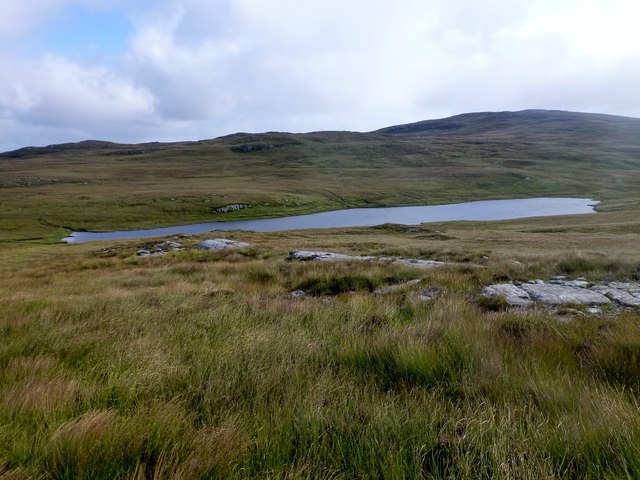
Coireachan Coltraiseal Beag is a picturesque glacial valley located in Ross-shire, Scotland. Nestled amidst the stunning Scottish Highlands, this corrie, or glacially-carved amphitheater, offers breathtaking views and a tranquil atmosphere.
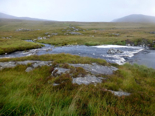
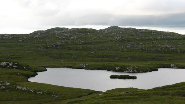
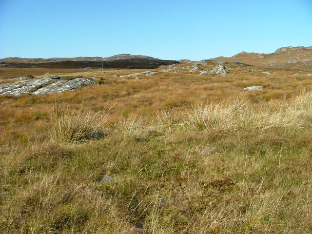
The valley is characterized by its steep, rocky sides and a flat basin at the bottom, which was formed by the action of glaciers during the last Ice Age. Lush green vegetation covers the valley floor, creating a stunning contrast against the rugged mountainous backdrop.
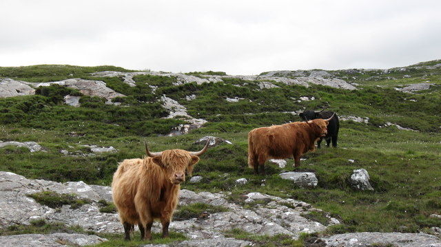
Coireachan Coltraiseal Beag is renowned for its rich biodiversity. The valley is home to a variety of plant species, including heather, mosses, and wildflowers, providing a vibrant and colorful landscape. It also serves as a habitat for several bird species, such as red grouse and golden eagles, as well as small mammals like mountain hares and red deer.
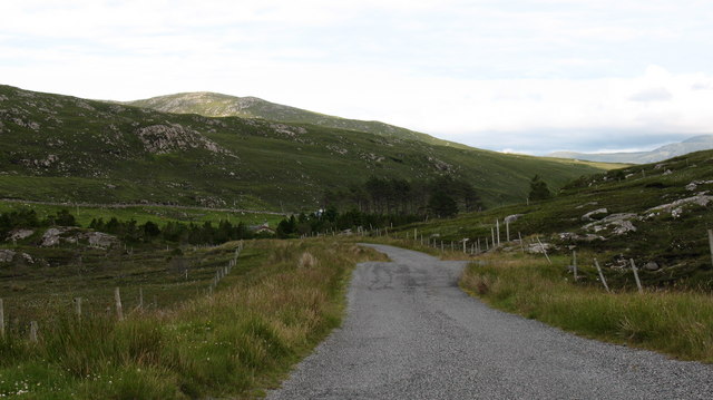
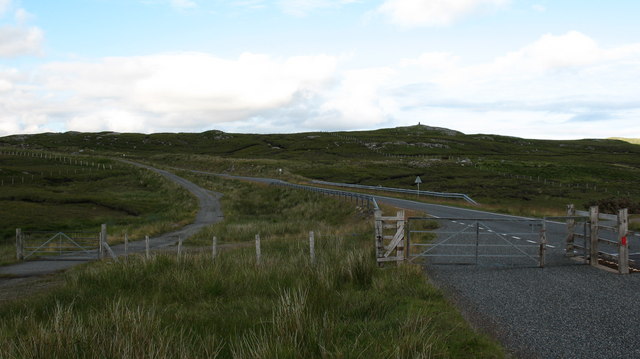
The corrie is a popular destination for outdoor enthusiasts, offering a range of activities. Hiking and mountaineering are particularly popular, with several trails leading to the valley and its surrounding peaks. The challenging terrain and steep slopes attract experienced climbers and adventurers seeking a thrilling experience.
Visitors to Coireachan Coltraiseal Beag can enjoy the tranquility and beauty of the Scottish Highlands. The valley provides a peaceful retreat, away from the hustle and bustle of daily life. Whether it's for a leisurely stroll, a challenging hike, or simply to admire the natural scenery, this glacial valley offers a truly unforgettable experience.
If you have any feedback on the listing, please let us know in the comments section below.
Coireachan Coltraiseal Beag Images
Images are sourced within 2km of 58.119169/-6.8432559 or Grid Reference NB1424. Thanks to Geograph Open Source API. All images are credited.
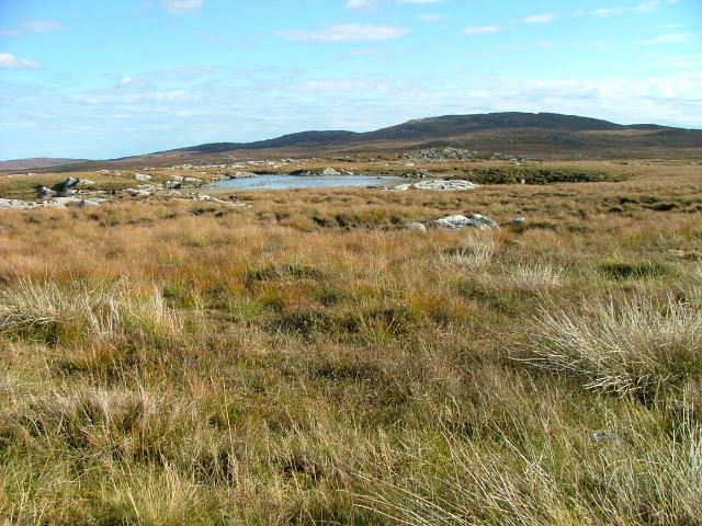
![Caultrashal Beag [Coltraiseal Beag] First HuMP of four today with Michael Earnshaw, Jim Bloomer and Martin Richardson in mixed weather.
Name: Caultrashal Beag [Coltraiseal Beag]
Hill number: 4941
Height: 226m / 741ft
Area: 24A: Lewis and Nearby Islands
Class: Hu,2
Grid ref: NB149241 (est)
Drop: 108m
Col: 118m NB161233](https://s1.geograph.org.uk/geophotos/03/69/32/3693277_9b2650d0.jpg)


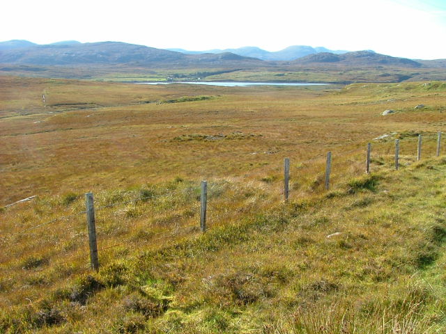
![Heading For Loch Ruah Descending from Coltraiseal Beag heading for Loch Ruadh and then Ben Mohal [Beinn Mothal].](https://s1.geograph.org.uk/geophotos/03/69/47/3694781_172fbdd9.jpg)


Coireachan Coltraiseal Beag is located at Grid Ref: NB1424 (Lat: 58.119169, Lng: -6.8432559)
Unitary Authority: Na h-Eileanan an Iar
Police Authority: Highlands and Islands
What 3 Words
///infinite.corrects.bowhead. Near Carloway, Na h-Eileanan Siar
Related Wikis

Gisla Hydro-Electric Scheme
Gisla Hydro-Electric Scheme was a small scheme promoted by the North of Scotland Hydro-Electric Board on the Isle of Lewis, Outer Hebrides, Scotland. It...

Eilean Mòr, Loch Langavat
Eilean Mòr is an island in Loch Langavat on the Isle of Lewis in the Outer Hebrides of Scotland. == Footnotes ==

Fuaigh Beag
Fuaigh Beag or Vuia Be(a)g is an island in the Outer Hebrides. It is off the west coast of Lewis near Great Bernera in Loch Roag. Its name means "little...
Loch Ròg
Loch Ròg or Loch Roag is a large sea loch on the west coast of Lewis, Outer Hebrides. It is broadly divided into East Loch Roag and West Loch Roag with...
Nearby Amenities
Located within 500m of 58.119169,-6.8432559Have you been to Coireachan Coltraiseal Beag?
Leave your review of Coireachan Coltraiseal Beag below (or comments, questions and feedback).