Coire na h-Aonaig Mòire
Corrie (Glacial Valley) in Inverness-shire
Scotland
Coire na h-Aonaig Mòire
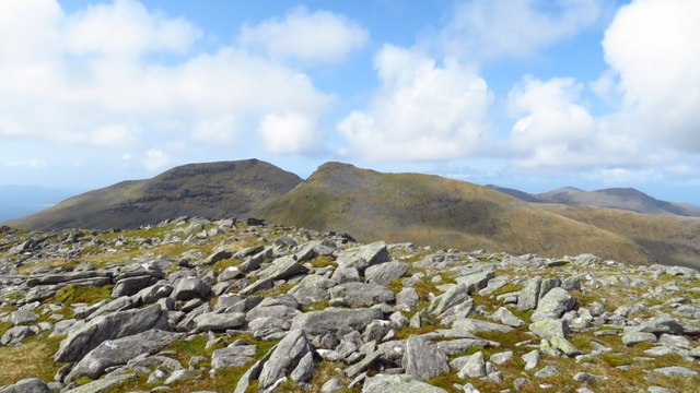
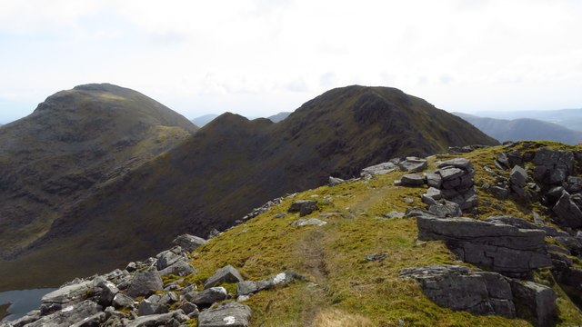
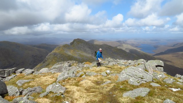
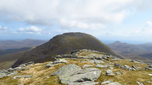
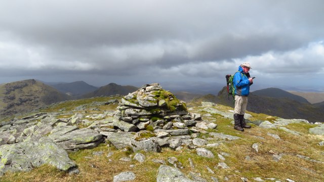
Coire na h-Aonaig Mòire, located in Inverness-shire, Scotland, is a stunning glacial valley known for its scenic beauty and rich natural heritage. Also referred to as Corrie, this majestic valley is nestled amidst the breathtaking Scottish Highlands.
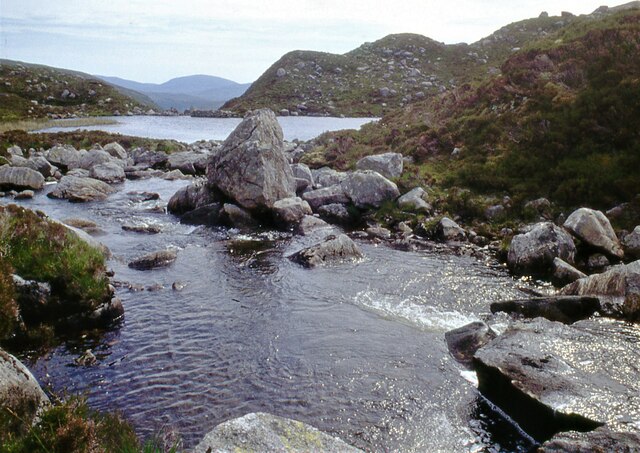
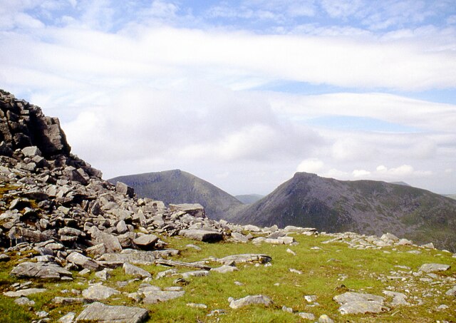
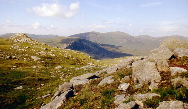
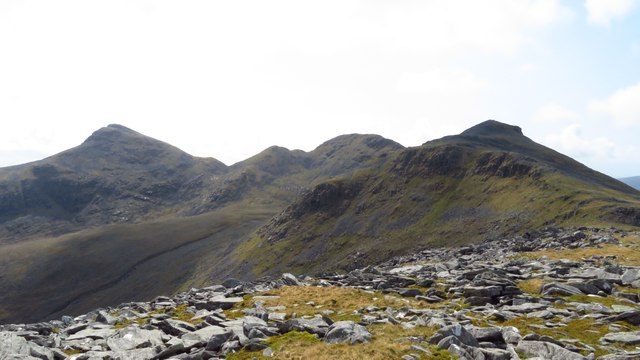
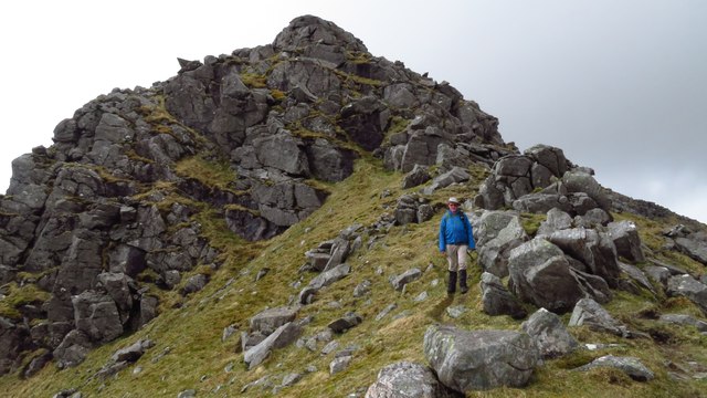
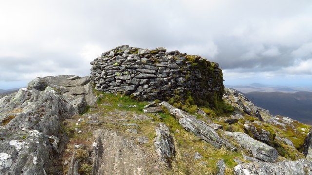
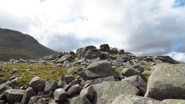
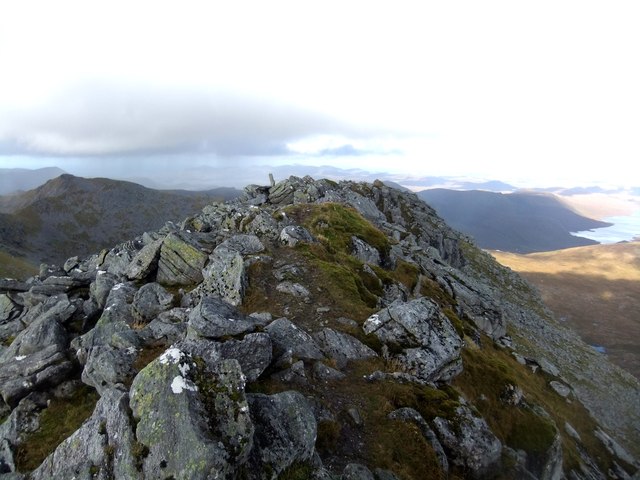
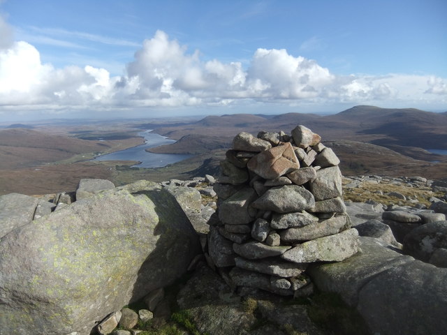
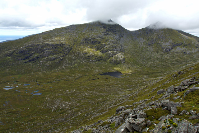
The valley is characterized by its steep U-shaped sides and a flat, often boggy floor. It was formed during the last Ice Age when glaciers carved out the landscape, leaving behind this magnificent geological feature. Coire na h-Aonaig Mòire stretches for approximately 3 kilometers and is surrounded by towering mountains, including the iconic Ben Nevis, the highest peak in the British Isles.
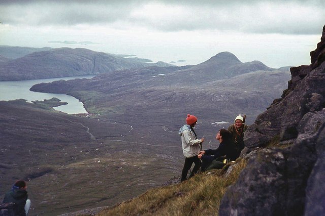
The valley is a haven for adventure enthusiasts and nature lovers. It offers a plethora of outdoor activities, such as hiking, mountaineering, and wildlife spotting. The valley's diverse ecosystem supports a variety of plant and animal species, including heather, mosses, golden eagles, red deer, and ptarmigans. It is also home to several small lochs and streams, adding to the charm of the landscape.
Coire na h-Aonaig Mòire is a popular destination for photographers and artists, who are captivated by its dramatic scenery and ever-changing light. Visitors can explore the valley via well-marked trails that lead to panoramic viewpoints and hidden gems. The valley's tranquility and unspoiled natural beauty make it an ideal spot for those seeking solitude and a connection with nature.
In conclusion, Coire na h-Aonaig Mòire is a remarkable glacial valley in Inverness-shire, Scotland, offering breathtaking vistas, abundant wildlife, and a sense of serenity. It is a must-visit destination for anyone looking to immerse themselves in the mesmerizing beauty of the Scottish Highlands.
If you have any feedback on the listing, please let us know in the comments section below.
Coire na h-Aonaig Mòire Images
Images are sourced within 2km of 57.973152/-6.8143036 or Grid Reference NB1508. Thanks to Geograph Open Source API. All images are credited.


Coire na h-Aonaig Mòire is located at Grid Ref: NB1508 (Lat: 57.973152, Lng: -6.8143036)
Unitary Authority: Na h-Eileanan an Iar
Police Authority: Highlands and Islands
What 3 Words
///blogs.welcome.objective. Near Tarbert, Na h-Eileanan Siar
Nearby Locations
Related Wikis

Uisgneabhal Mor
Uisgnabhal Mor (729 m) is a mountain in Harris, in the Outer Hebrides of Scotland. A complex mountain of several ridges and summits, it lies in the centre...

Ardvourlie Castle
Ardvourlie Castle is a 19th-century country house on Harris, one of the Western Isles off the north-west coast of Scotland. The house was built beside...

Bun Abhainn Eadarra
Bun Abhainn Eadarra or Bunavoneadar is a hamlet adjacent to the Loch Bun Abhainn Eadarra, on the south shore of North Harris, in the Outer Hebrides, Scotland...

Seaforth Island
Seaforth Island (Scottish Gaelic: Eilean Shìphoirt/Shìophoirt or Mulag) is an uninhabited island in the Outer Hebrides of Scotland. Unlike many other...
Have you been to Coire na h-Aonaig Mòire?
Leave your review of Coire na h-Aonaig Mòire below (or comments, questions and feedback).