South Marsh
Coastal Marsh, Saltings in Norfolk North Norfolk
England
South Marsh
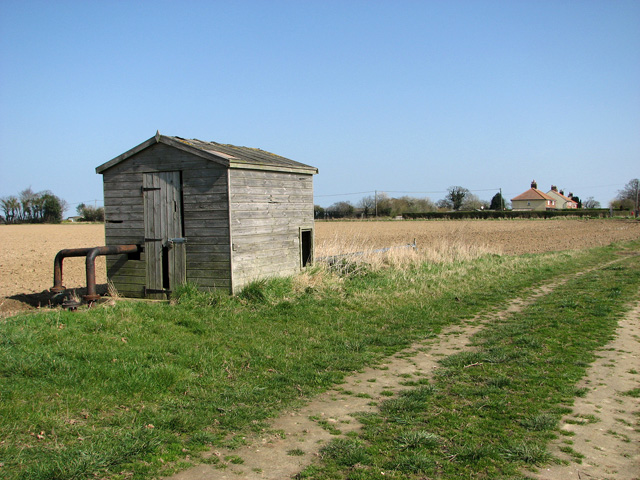
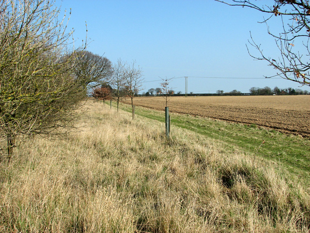
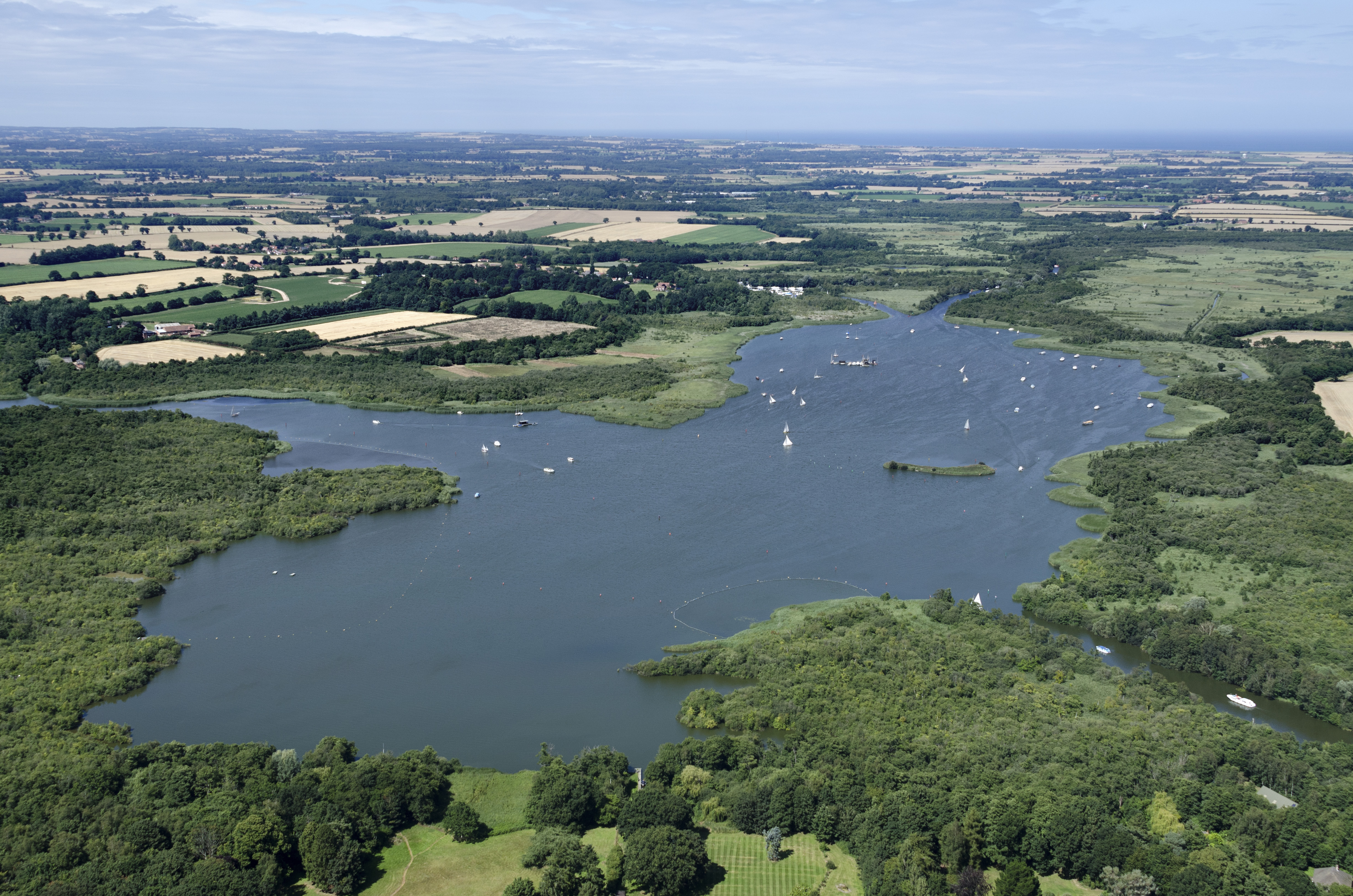
South Marsh is a coastal marshland located in Norfolk, England. It is situated on the eastern coast, adjacent to the North Sea. This vast expanse of marshes stretches along the coastline, merging with salt marshes and saltings, forming a unique ecosystem.
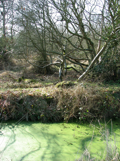
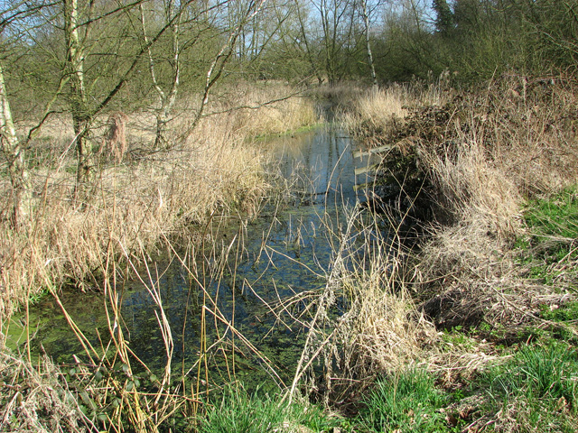
The landscape of South Marsh is characterized by its flat terrain, dotted with numerous creeks, channels, and tidal inlets. The marshes are predominantly composed of salt-tolerant grasses and plants, such as sea lavender, samphire, and cordgrass. These plants thrive in the brackish water, creating a rich and diverse habitat for various species of birds, fish, and invertebrates.
The marshes of South Marsh play a crucial role in coastal protection, acting as a natural buffer against storms and erosion. The dense vegetation helps to stabilize the sediments and reduce the impact of tidal surges. Additionally, the marshes act as a natural filtration system, improving water quality by trapping sediments and absorbing excess nutrients.
South Marsh is also of significant importance for bird populations. It serves as a vital breeding ground and feeding site for migratory and resident bird species. Birds such as curlew, redshank, avocet, and marsh harriers can be observed here, attracting birdwatchers and nature enthusiasts from around the world.
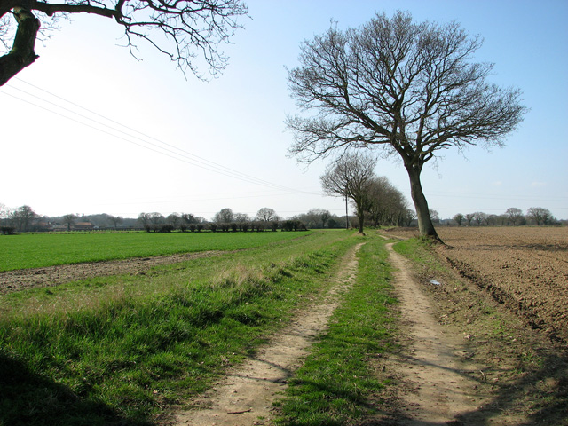
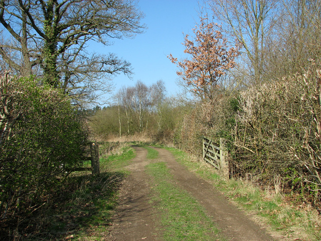
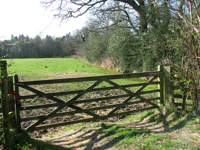
For visitors, South Marsh offers opportunities for wildlife observation, walking, and photography. There are several designated footpaths and observation points that allow people to explore and appreciate the beauty of this unique coastal ecosystem. It is crucial to respect the delicate balance of the marshes and follow designated paths to minimize disturbance to the wildlife and their habitats.
If you have any feedback on the listing, please let us know in the comments section below.
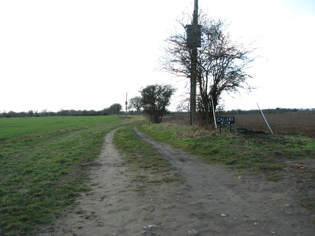
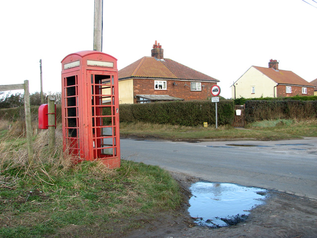
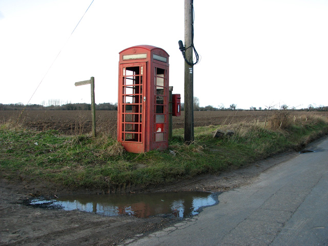
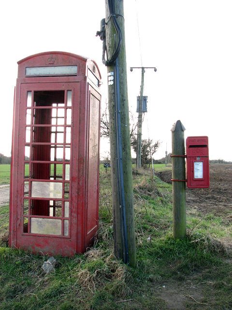
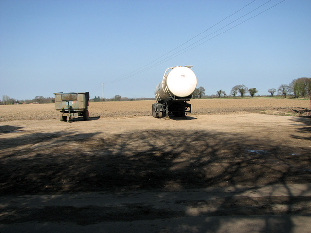
South Marsh Images
Images are sourced within 2km of 52.73382/1.5159537 or Grid Reference TG3720. Thanks to Geograph Open Source API. All images are credited.


South Marsh is located at Grid Ref: TG3720 (Lat: 52.73382, Lng: 1.5159537)
Administrative County: Norfolk
District: North Norfolk
Police Authority: Norfolk
What 3 Words
///kitten.pursuing.inflation. Near Stalham, Norfolk
Nearby Locations
Related Wikis

Catfield Fen Reserve
Catfield Fen is a wetland nature reserve near Ludham in the county of Norfolk, England. Butterfly Conservation owns and manages part of this reserve. Part...

Ant Broads and Marshes
Ant Broads and Marshes is a 745.3-hectare (1,842-acre) biological Site of Special Scientific Interest north-east of Norwich in Norfolk. Most of it is a...

Irstead
Irstead is a village and former civil parish, now in the parish of Barton Turf, in the North Norfolk district, in the county of Norfolk, England. The village...
Crome's Broad
Crome's Broad is situated to the east of the River Ant, north of How Hill, within The Broads National Park in Norfolk, England. It is named after John...
Barton Broad
Barton Broad is a large lake that forms part of the River Ant which gives its name to a 164-hectare (410-acre) nature reserve north-east of Norwich in...
Ant Broads & Marshes National Nature Reserve
Ant Broads & Marshes NNR is a national nature reserve in Norfolk, England established by English Nature. It is named after the River Ant. It is part of...
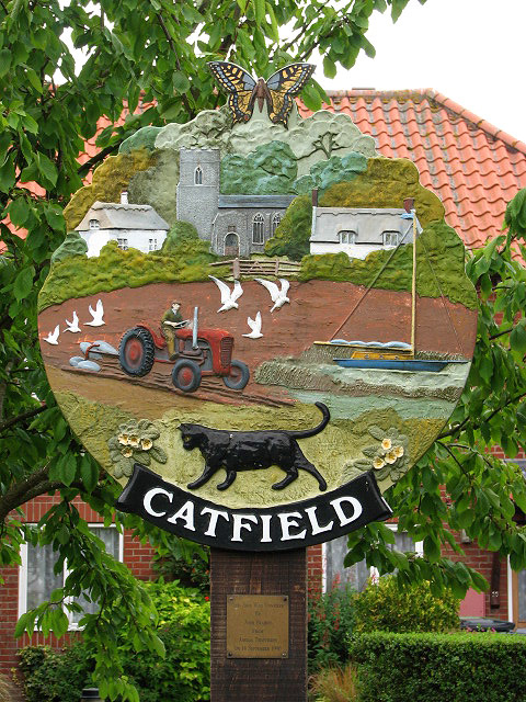
Catfield
Catfield is a village and civil parish in the English county of Norfolk. The village is 19.7 miles (31.7 km) south-east of Cromer, 17.3 miles (27.8 km...

How Hill House
How Hill House is a large Edwardian house in How Hill, an area of Ludham parish, Norfolk, England. The house overlooks the River Ant and is within the...
Related Videos

Sailing boats on Barton Broad, Norfolk
beautifulnorfolk #norfolk #beautifulnorfolk.uk #norfolkbroads #broads #sailing #yacht #boats #holiday #vacation #BartonBroad.

It is still busy at How Hill and Ludham Bridge after the Easter Holiday #river #boat #holiday
It is still busy at How Hill and Ludham Bridge after the Easter Holiday #river #boat #holiday Hi everyone welcome back. Im at How ...

How hill and Ludham 20th August 2021
Friday the 20th August 2021 Summer holiday camping trip. We went to How hill in Norfolk for a lovely 6mile walk. This involved ...

BIKE PACKING | Weavers' Way Part 1 - Long Distance Trails | Solo Overnight Wild Camp 98km. Norfolk
PART 1 of 2 LONG DISTANCE FOOT PATHS & RAILWAYS of NORFOLK The Weavers' Way runs from Cromer to Great Yarmouth.
Nearby Amenities
Located within 500m of 52.73382,1.5159537Have you been to South Marsh?
Leave your review of South Marsh below (or comments, questions and feedback).