North Weir Point

Coastal Marsh, Saltings in Suffolk East Suffolk

England

North Weir Point

On Shingle Street
On Shingle Street Credit: Dave Thompson

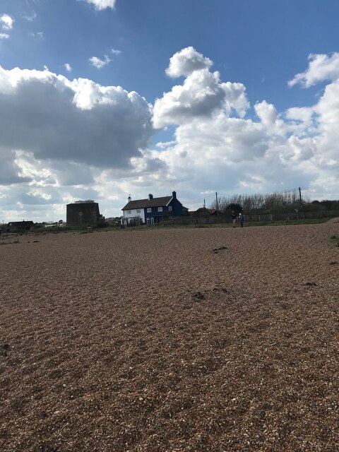
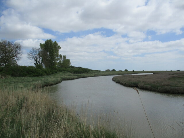
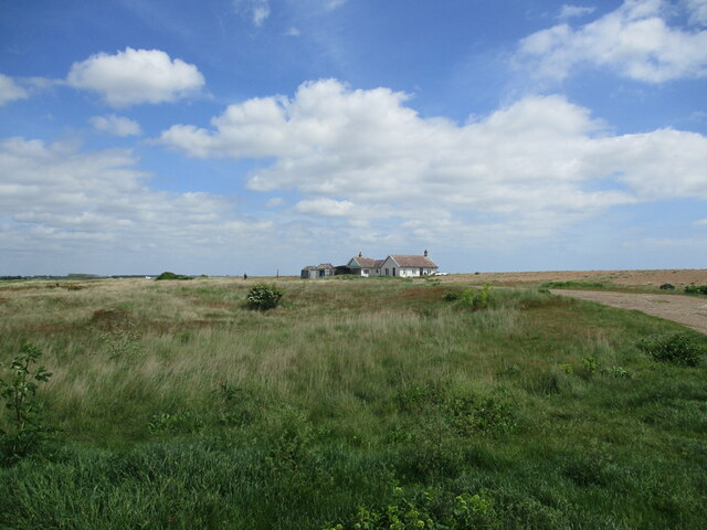
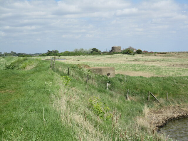
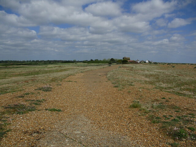
North Weir Point is a prominent geographical feature located in Suffolk, England. Situated on the eastern coast, it is part of a larger area known as the Coastal Marshes and Saltings. This stretch of land is characterized by its unique ecosystem, blending salt marshes, mudflats, and creeks.

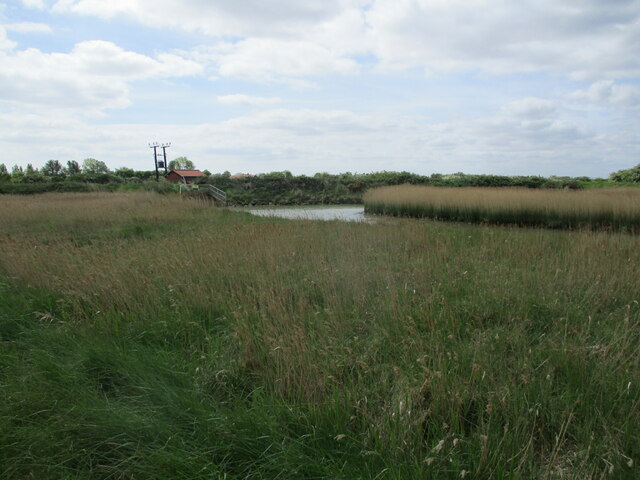
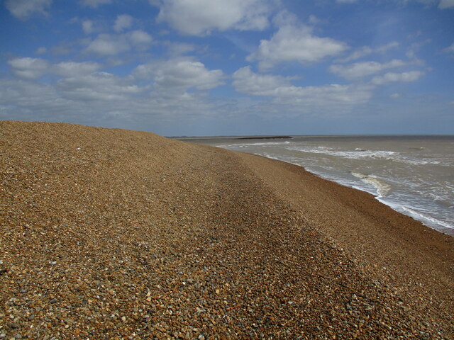
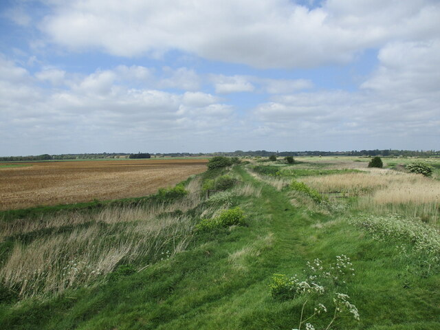
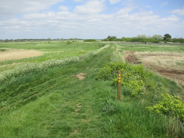
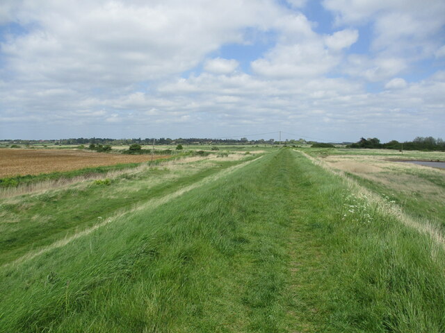
The North Weir Point area is predominantly covered by salt marshes, which are grassy wetlands that are subject to tidal inundation. These marshes are vital for the local environment, serving as a habitat for various plant and animal species. The vegetation in this area typically includes salt-tolerant grasses, sedges, and herbs.

The North Weir Point salt marshes are highly sensitive and play an essential role in coastal protection, acting as a buffer against erosion caused by tidal forces and storm surges. They also contribute to the overall health of the ecosystem by filtering pollutants and providing a breeding ground for many bird species.

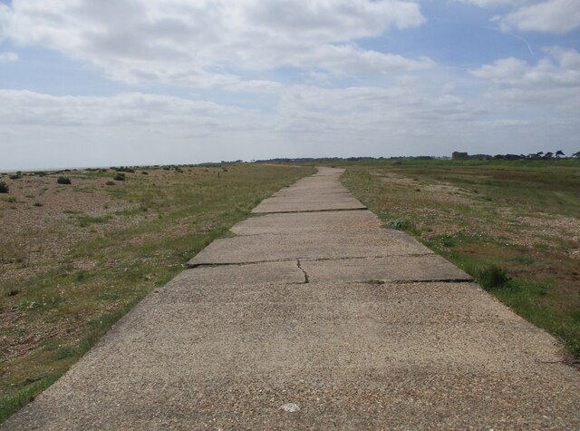
The area is particularly popular among birdwatchers and nature enthusiasts due to its rich avian biodiversity. It serves as an important habitat and migratory stopover for numerous species, including wading birds, ducks, geese, and shorebirds. Visitors can observe these birds in their natural habitat, either by walking along the designated trails or from dedicated bird hides strategically placed throughout the area.

North Weir Point, Suffolk, is a valuable and fragile coastal marshland that offers visitors an opportunity to explore and appreciate the natural beauty and ecological significance of salt marshes. It is a fascinating destination for those interested in experiencing the wonders of coastal ecosystems and observing a diverse array of bird species in their natural habitat.

If you have any feedback on the listing, please let us know in the comments section below.

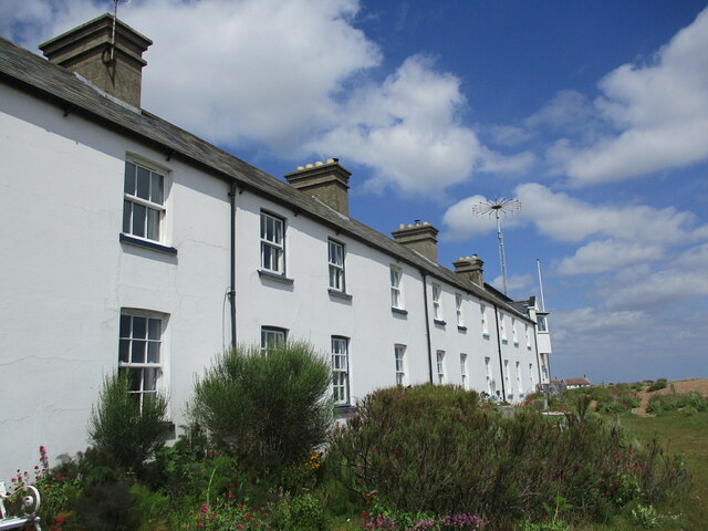
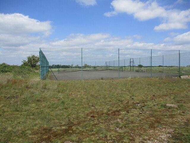
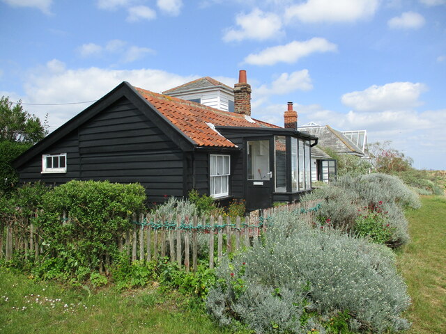
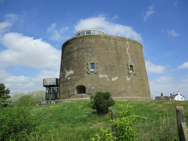
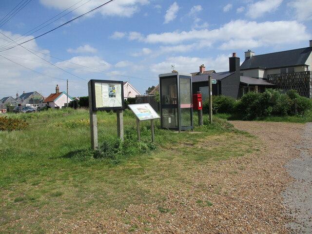
North Weir Point Images

Images are sourced within 2km of 52.040986/1.4629652 or Grid Reference TM3743. Thanks to Geograph Open Source API. All images are credited.

On Shingle Street
On Shingle Street
Tidal creek near Shingle Street
Reed beds, tidal creek and pumping station
The Beacon, Shingle Street
Shingle bank at Shingle Street While erosion is a problem at many places on the east coast, here at Shingle Street the shingle is extending eastwards.
Shingle bank at Shingle Street
While erosion is a problem at many places on the east coast, here at Shingle Street the shingle is extending eastwards.
Old concrete roadway at Shingle Street Doubtless connected with WW2 defences.
Old concrete roadway at Shingle Street
Doubtless connected with WW2 defences.
Martello Tower, Shingle Street The tower dates from 1810-12 <span class="nowrap"><a title="https://historicengland.org.uk/listing/the-list/list-entry/1183230?section=official-list-entry" rel="nofollow ugc noopener" href="https://historicengland.org.uk/listing/the-list/list-entry/1183230?section=official-list-entry">Link</a><img style="margin-left:2px;" alt="External link" title="External link - shift click to open in new window" src="https://s1.geograph.org.uk/img/external.png" width="10" height="10"/></span>
Martello Tower, Shingle Street
The tower dates from 1810-12 LinkExternal link
Footpath at Shingle Street
Junction of paths, Shingle Street
Path on a bank, Shingle Street The bank protects the land inland from inundation by the sea.
Path on a bank, Shingle Street
The bank protects the land inland from inundation by the sea.
Defences at Shingle Street A WW2 pill box and in the distance one of the several Martello towers in this vicinity.
Defences at Shingle Street
A WW2 pill box and in the distance one of the several Martello towers in this vicinity.
Roadway at Shingle Street Part of the WW2 defences now slowly being covered by shingle.
Roadway at Shingle Street
Part of the WW2 defences now slowly being covered by shingle.
Former coastguard cottages, Shingle Street
Tennis court, Shingle Street
Cottages at Shingle Street Protected from the sea by a wide expanse of shingle.
Cottages at Shingle Street
Protected from the sea by a wide expanse of shingle.
Martello Tower, Shingle Street Dates from 1810-12 <span class="nowrap"><a title="https://historicengland.org.uk/listing/the-list/list-entry/1183230?section=official-list-entry" rel="nofollow ugc noopener" href="https://historicengland.org.uk/listing/the-list/list-entry/1183230?section=official-list-entry">Link</a><img style="margin-left:2px;" alt="External link" title="External link - shift click to open in new window" src="https://s1.geograph.org.uk/img/external.png" width="10" height="10"/></span>
Martello Tower, Shingle Street
Dates from 1810-12 LinkExternal link
Information and communication, Shingle Street
Show me another place!

North Weir Point is located at Grid Ref: TM3743 (Lat: 52.040986, Lng: 1.4629652)

Administrative County: Suffolk

District: East Suffolk

Police Authority: Suffolk

What 3 Words

///acclaimed.songbook.protester. Near Rendlesham, Suffolk

Related Wikis

River Alde

The River Alde and River Ore form a river system in Suffolk, England passing by Snape and Aldeburgh. The River Alde and River Ore meet northwest of Blaxhall...
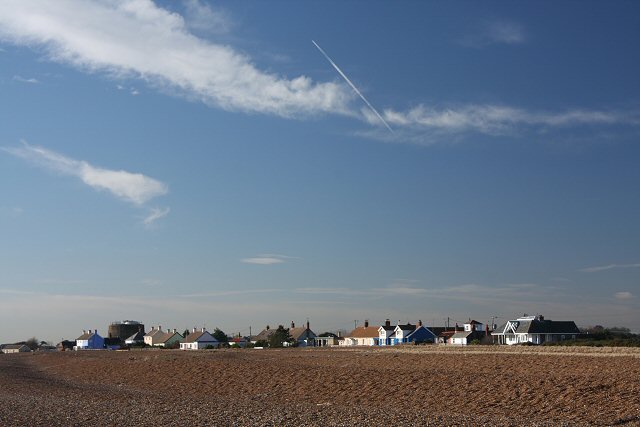
Shingle Street

Shingle Street is a coastal settlement on the North Sea coast of the English county of Suffolk. It is 8 miles (13 km) north-east of Felixstowe and 12 miles...

HM Prison Warren Hill

HM Prison Warren Hill is a male prison located near the village of Hollesley in Suffolk, England. The prison is operated by His Majesty's Prison Service...

HM Prison Hollesley Bay

HM Prison Hollesley Bay, known locally as Hollesley Bay Colony (to which signposts still point) or simply The Colony, is a Category D men's prison and...

Nearby Amenities

Located within 500m of 52.040986,1.4629652
Source: PGS
Lat/Long: 52.0449613/1.465021
Source: PGS
Lat/Long: 52.0438131/1.4644202
Source: PGS
Lat/Long: 52.0429288/1.4639052
Source: PGS
Lat/Long: 52.0411999/1.462489
Source: PGS
Lat/Long: 52.042938/1.460632
Source: PGS
Lat/Long: 52.0432852/1.4605578
Source: PGS
Lat/Long: 52.0452865/1.461361
Note: May 2012 seasonal buoy
Seamark Buoy Lateral Category: starboard
Seamark Buoy Lateral Colour: green
Seamark Buoy Lateral Shape: pillar
Seamark Name: Weir
Seamark Type: buoy_lateral
Lat/Long: 52.040383/1.460917
The data included in this document is from www.openstreetmap.org. The data is made available under ODbL.

Have you been to North Weir Point?

Leave your review of North Weir Point below (or comments, questions and feedback).