North Marsh
Coastal Marsh, Saltings in Norfolk North Norfolk
England
North Marsh
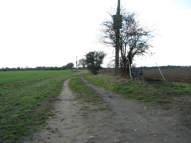
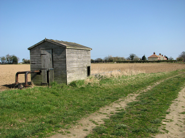
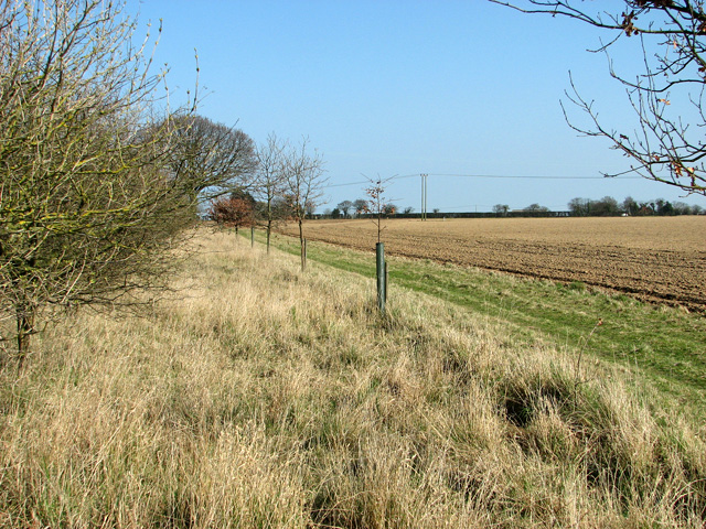
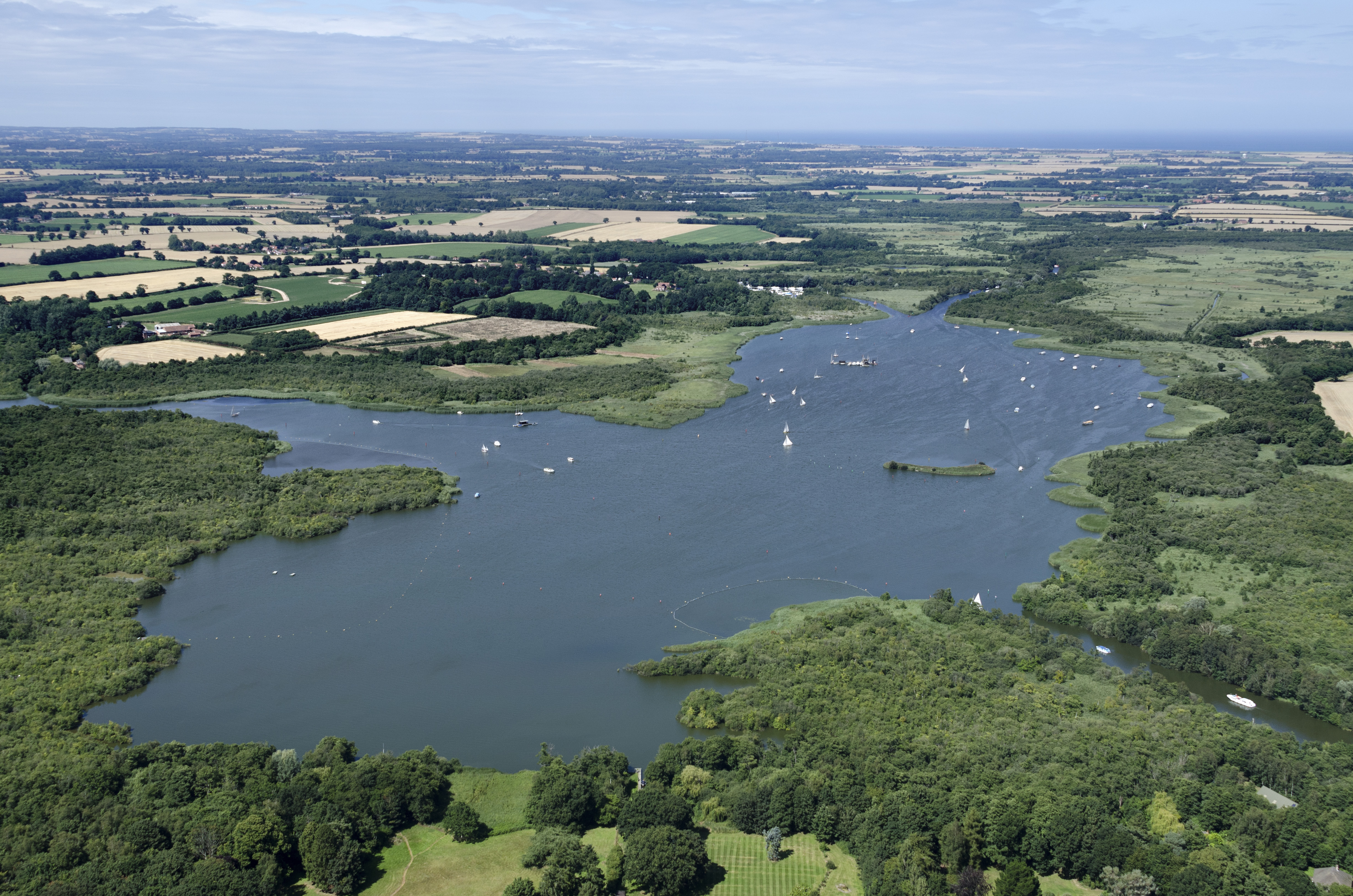
North Marsh is a coastal marshland located in Norfolk, England. This expansive area is part of the larger Norfolk Coast Area of Outstanding Natural Beauty (AONB) and is renowned for its stunning natural landscape and diverse range of wildlife. The marsh is situated adjacent to the North Sea and is characterized by its vast expanse of salt marshes and saltings.
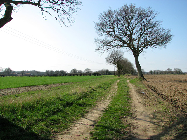
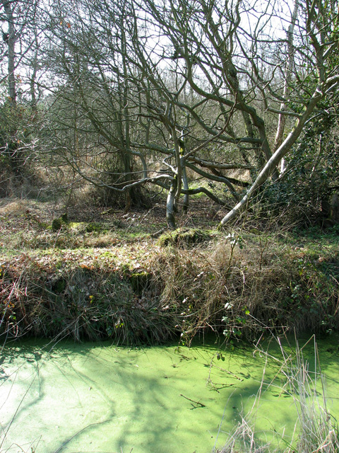
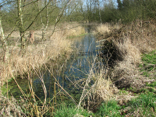
The marshland is predominantly flat and is intersected by a network of tidal creeks and channels that meander through the area. These tidal creeks are influenced by the ebb and flow of the North Sea tides, creating a dynamic and ever-changing environment. The marshes themselves are a mix of short grasses, salt-tolerant plants, and mudflats, which provide a crucial habitat for a variety of bird species, including waders and wildfowl.
The North Marsh is a haven for birdwatchers and nature enthusiasts, as it supports a significant population of migrating and resident bird species. Some of the notable species that can be spotted in the area include avocets, brent geese, dunlins, and redshanks. The marshes also serve as an important breeding ground for a range of bird species, contributing to the overall biodiversity of the area.
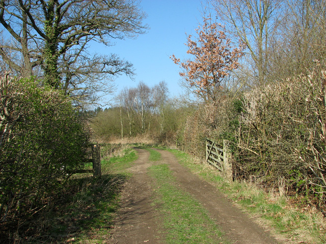
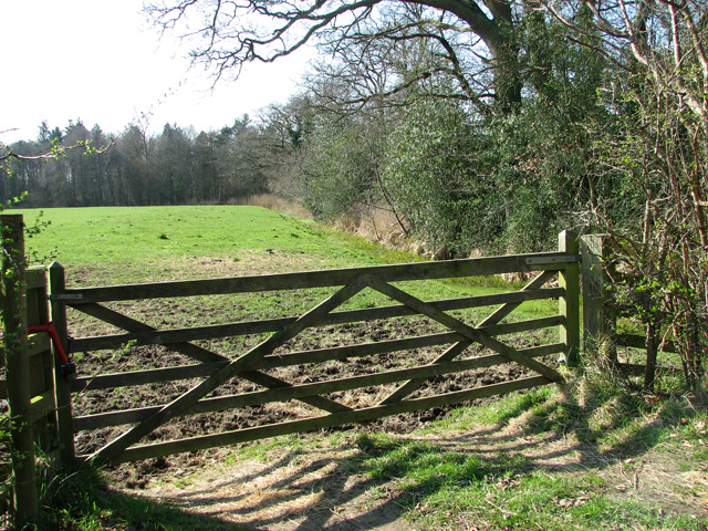
In addition to its ecological significance, North Marsh also offers recreational opportunities for visitors. The marshland provides excellent walking trails, allowing visitors to explore the unique landscape and observe the abundant wildlife. It is also a popular destination for photographers, who are drawn to the marshes' picturesque scenery and stunning sunsets.
Overall, North Marsh in Norfolk is a captivating and ecologically important coastal marshland, offering visitors a chance to connect with nature and experience the beauty of this unique habitat.
If you have any feedback on the listing, please let us know in the comments section below.
North Marsh Images
Images are sourced within 2km of 52.738055/1.5141906 or Grid Reference TG3721. Thanks to Geograph Open Source API. All images are credited.


North Marsh is located at Grid Ref: TG3721 (Lat: 52.738055, Lng: 1.5141906)
Administrative County: Norfolk
District: North Norfolk
Police Authority: Norfolk
What 3 Words
///cost.reacting.dumplings. Near Stalham, Norfolk
Nearby Locations
Related Wikis

Catfield Fen Reserve
Catfield Fen is a wetland nature reserve near Ludham in the county of Norfolk, England. Butterfly Conservation owns and manages part of this reserve. Part...

Ant Broads and Marshes
Ant Broads and Marshes is a 745.3-hectare (1,842-acre) biological Site of Special Scientific Interest north-east of Norwich in Norfolk. Most of it is a...
Barton Broad
Barton Broad is a large lake that forms part of the River Ant which gives its name to a 164-hectare (410-acre) nature reserve north-east of Norwich in...
Ant Broads & Marshes National Nature Reserve
Ant Broads & Marshes NNR is a national nature reserve in Norfolk, England established by English Nature. It is named after the River Ant. It is part of...
Nearby Amenities
Located within 500m of 52.738055,1.5141906Have you been to North Marsh?
Leave your review of North Marsh below (or comments, questions and feedback).