Catfield Broad
Lake, Pool, Pond, Freshwater Marsh in Norfolk North Norfolk
England
Catfield Broad
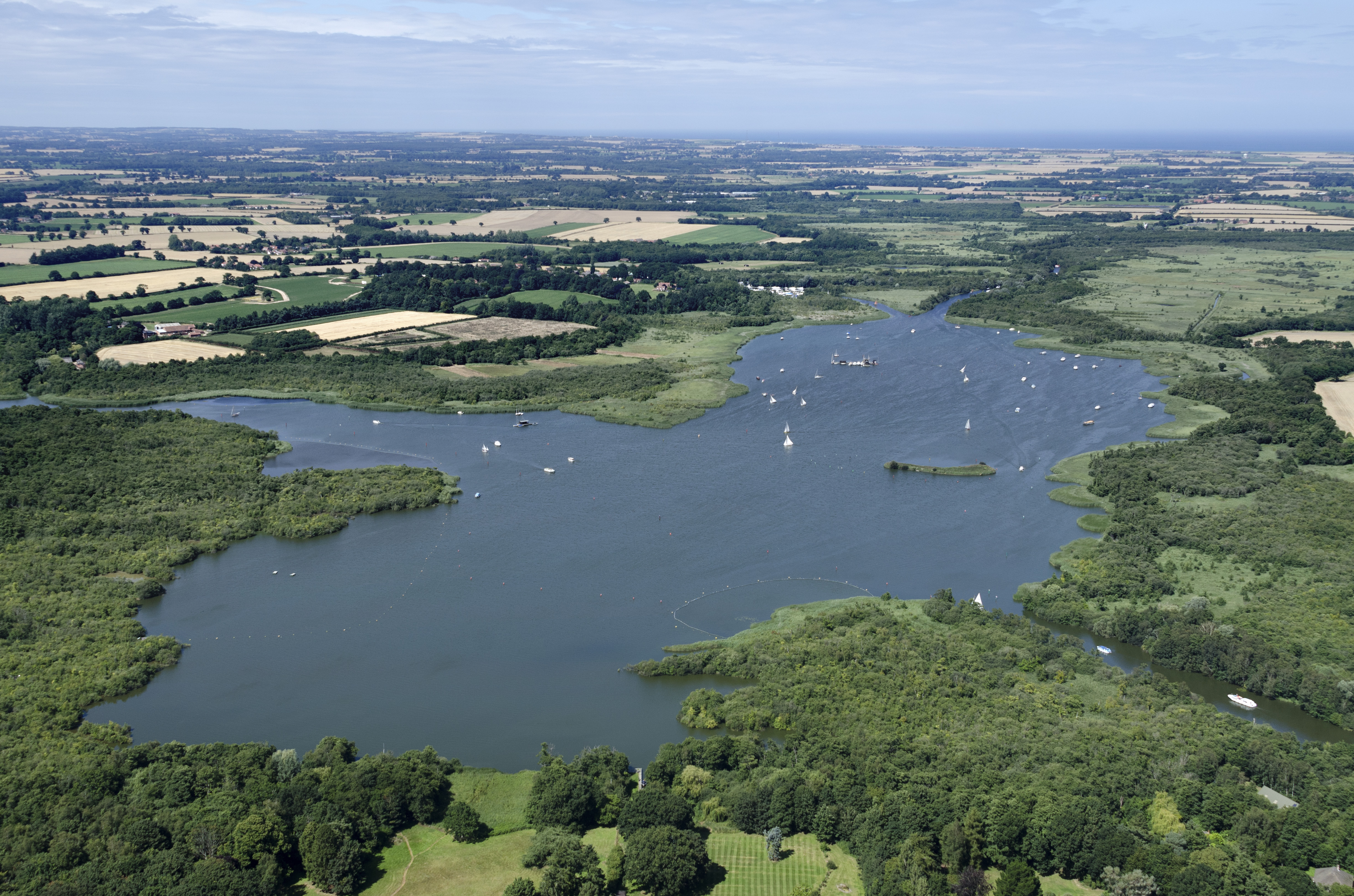
Catfield Broad is a picturesque freshwater marsh located in the county of Norfolk, England. It is situated in the village of Catfield and covers an area of approximately 35 acres. This tranquil broad is nestled within the stunning Norfolk Broads, a renowned network of rivers, lakes, and wetlands.
Catfield Broad is surrounded by diverse vegetation, including reed beds, water lilies, and various types of aquatic plants. This lush habitat provides a haven for a wide array of wildlife. Visitors to the broad can expect to see an abundance of bird species, such as mallards, swans, grebes, and herons, which make the area their home or pass through during migration.
The broad itself is a shallow body of water, with an average depth of around 2 meters. Its calm and peaceful nature makes it an ideal spot for boating and kayaking enthusiasts, who can explore the broad's serene waters at a leisurely pace. Fishing is also a popular activity, with anglers seeking out the broad's stocks of pike, roach, and tench.
Nature lovers can take advantage of the various walking trails that surround Catfield Broad, offering breathtaking views of the surrounding marshland and the opportunity to observe the diverse flora and fauna up close. The area is also a designated Site of Special Scientific Interest (SSSI), highlighting its importance for conservation and preservation.
Overall, Catfield Broad is a haven of natural beauty and biodiversity, offering visitors a chance to immerse themselves in the peacefulness of the Norfolk Broads and witness the wonders of its unique ecosystem.
If you have any feedback on the listing, please let us know in the comments section below.
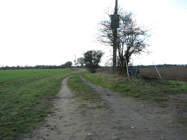
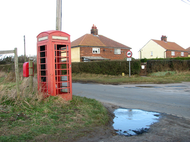
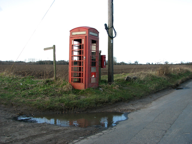
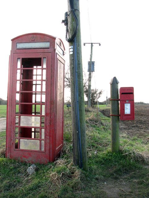
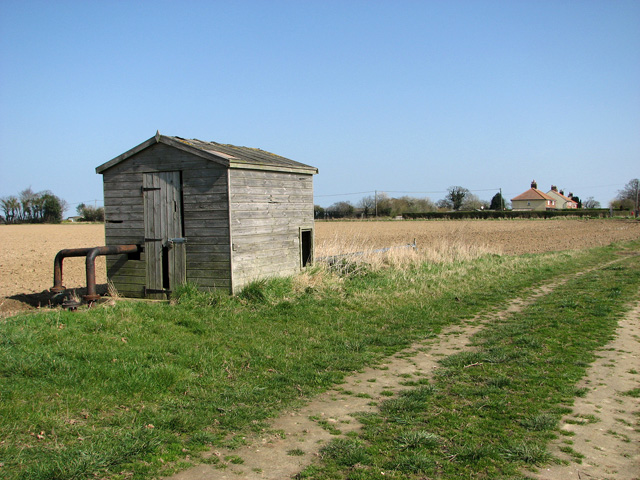
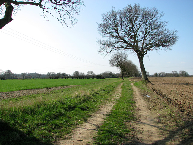
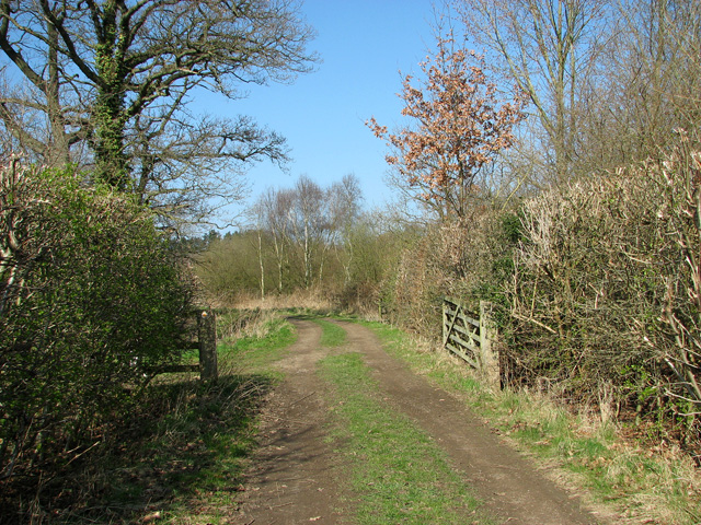
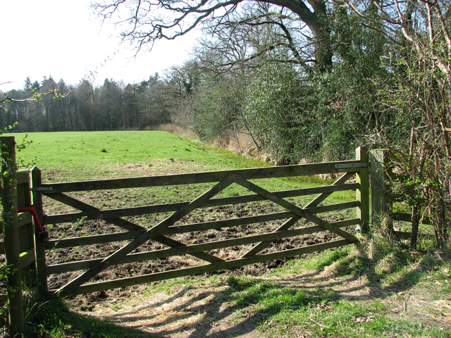
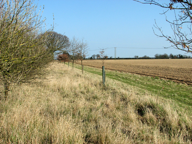
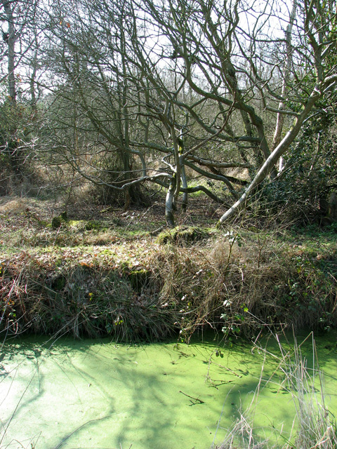
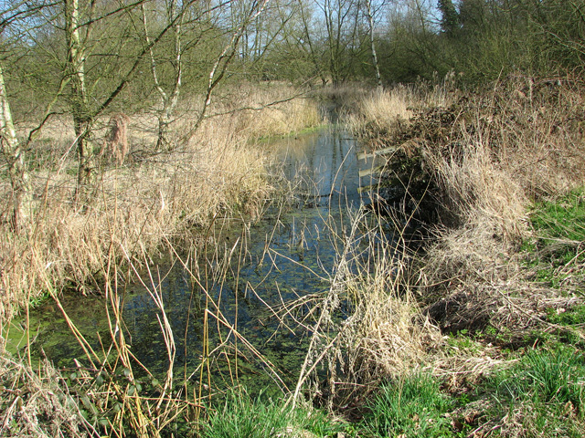
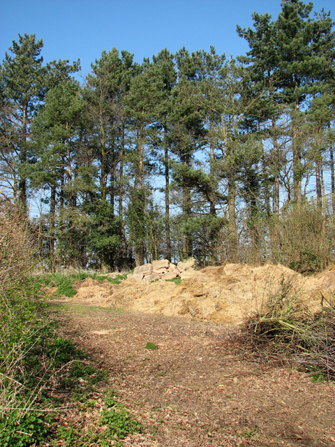
Catfield Broad Images
Images are sourced within 2km of 52.732779/1.5192184 or Grid Reference TG3720. Thanks to Geograph Open Source API. All images are credited.


Catfield Broad is located at Grid Ref: TG3720 (Lat: 52.732779, Lng: 1.5192184)
Administrative County: Norfolk
District: North Norfolk
Police Authority: Norfolk
What 3 Words
///tradition.added.schools. Near Stalham, Norfolk
Nearby Locations
Related Wikis

Catfield Fen Reserve
Catfield Fen is a wetland nature reserve near Ludham in the county of Norfolk, England. Butterfly Conservation owns and manages part of this reserve. Part...
Crome's Broad
Crome's Broad is situated to the east of the River Ant, north of How Hill, within The Broads National Park in Norfolk, England. It is named after John...

Irstead
Irstead is a village and former civil parish, now in the parish of Barton Turf, in the North Norfolk district, in the county of Norfolk, England. The village...

Ant Broads and Marshes
Ant Broads and Marshes is a 745.3-hectare (1,842-acre) biological Site of Special Scientific Interest north-east of Norwich in Norfolk. Most of it is a...
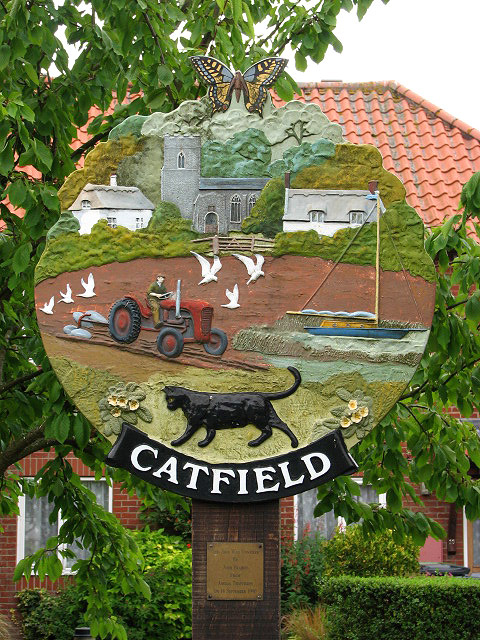
Catfield
Catfield is a village and civil parish in the English county of Norfolk. The village is 19.7 miles (31.7 km) south-east of Cromer, 17.3 miles (27.8 km...

How Hill House
How Hill House is a large Edwardian house in How Hill, an area of Ludham parish, Norfolk, England. The house overlooks the River Ant and is within the...
Barton Broad
Barton Broad is a large lake that forms part of the River Ant which gives its name to a 164-hectare (410-acre) nature reserve north-east of Norwich in...
Ant Broads & Marshes National Nature Reserve
Ant Broads & Marshes NNR is a national nature reserve in Norfolk, England established by English Nature. It is named after the River Ant. It is part of...
Nearby Amenities
Located within 500m of 52.732779,1.5192184Have you been to Catfield Broad?
Leave your review of Catfield Broad below (or comments, questions and feedback).