Mud Point
Coastal Feature, Headland, Point in Norfolk North Norfolk
England
Mud Point
Mud Point is a prominent headland located in Norfolk, England. Situated along the county's picturesque coastline, this coastal feature offers stunning views of the surrounding area. Jutting out into the North Sea, Mud Point is known for its rugged beauty and unique geological formations.
The headland is characterized by its steep cliffs, which reach heights of up to 30 meters in some areas. These cliffs are composed of layers of sedimentary rock, showcasing a diverse range of colors and textures. Over the years, erosion from wind, waves, and tides has shaped the cliffs into distinct formations, creating a visually striking landscape.
Mud Point is also renowned for its rich biodiversity. The surrounding waters are teeming with marine life, and the headland itself provides a haven for various bird species. Birdwatchers flock to the area to catch glimpses of rare seabirds, such as puffins and gannets, which nest on the cliffs.
Visitors to Mud Point can explore the headland by following a network of walking trails that wind their way along the cliffs. These trails offer panoramic views of the North Sea and the surrounding coastline, making them popular with hikers and nature enthusiasts.
Overall, Mud Point stands as a testament to the power of nature and the beauty of Norfolk's coastal landscape. With its dramatic cliffs, diverse wildlife, and breathtaking views, this headland is a must-see destination for anyone visiting the region.
If you have any feedback on the listing, please let us know in the comments section below.
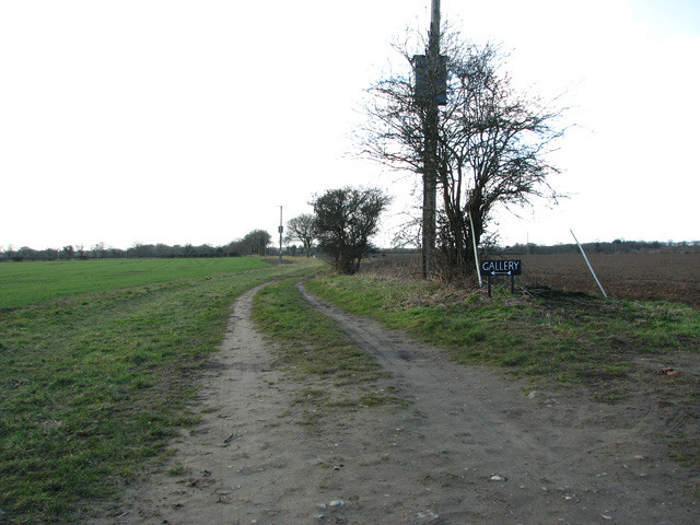
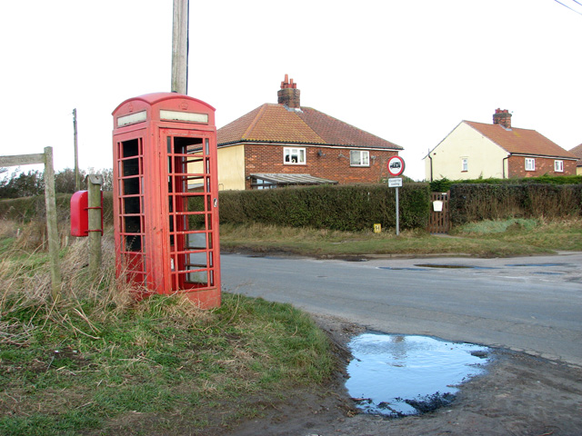
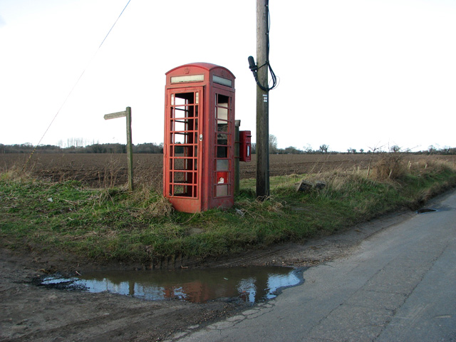
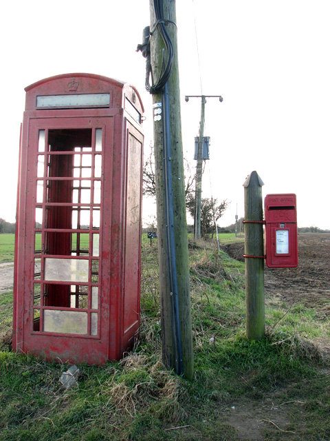
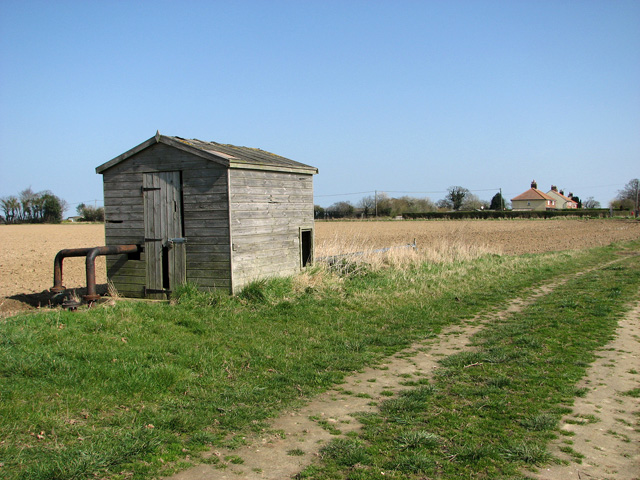
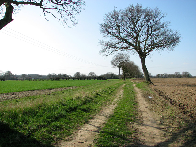
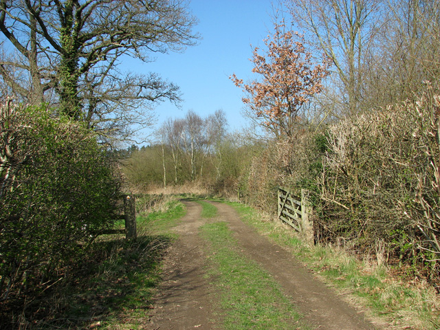
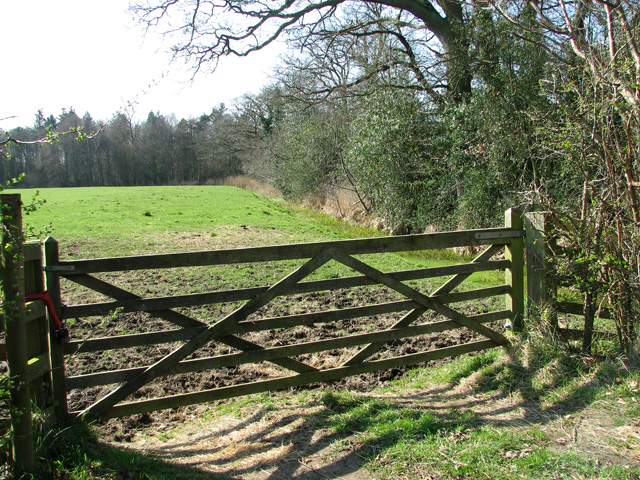
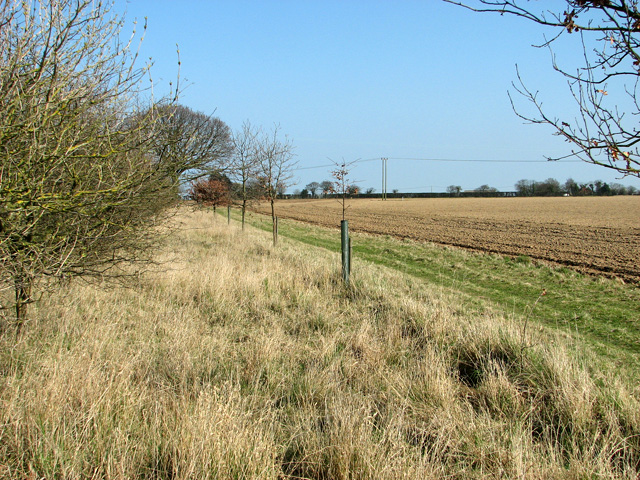
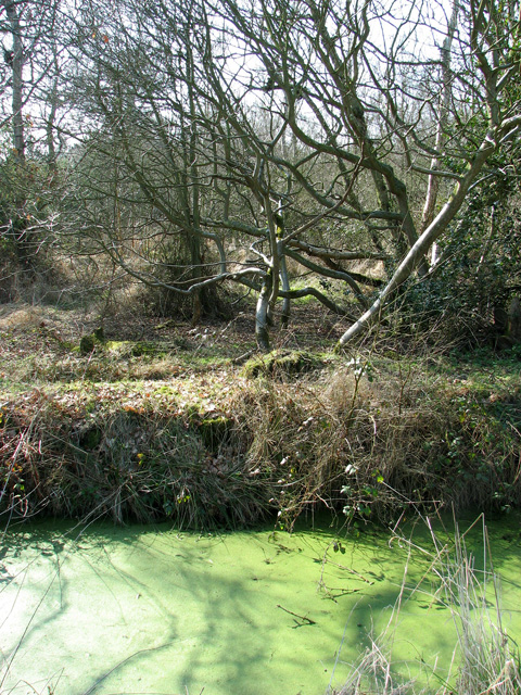
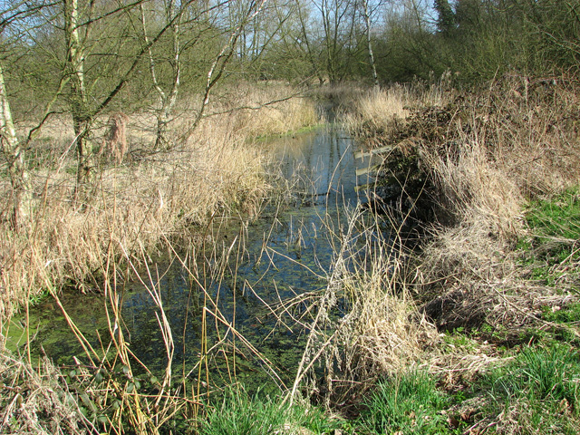
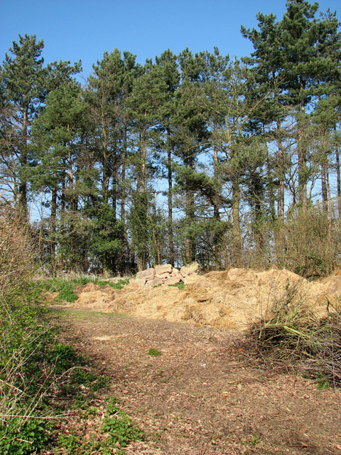
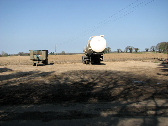
Mud Point Images
Images are sourced within 2km of 52.727839/1.5098868 or Grid Reference TG3720. Thanks to Geograph Open Source API. All images are credited.


Mud Point is located at Grid Ref: TG3720 (Lat: 52.727839, Lng: 1.5098868)
Administrative County: Norfolk
District: North Norfolk
Police Authority: Norfolk
What 3 Words
///sheds.debit.spider. Near Horning, Norfolk
Nearby Locations
Related Wikis

Irstead
Irstead is a village and former civil parish, now in the parish of Barton Turf, in the North Norfolk district, in the county of Norfolk, England. The village...

Crome's Broad
Crome's Broad is situated to the east of the River Ant, north of How Hill, within The Broads National Park in Norfolk, England. It is named after John...

How Hill House
How Hill House is a large Edwardian house in How Hill, an area of Ludham parish, Norfolk, England. The house overlooks the River Ant and is within the...

Clayrack Drainage Mill
Clayrack Drainage Windmill is located at How Hill in the English county of Norfolk. It is on the east bank of the River Ant close to How Hill, a large...
Catfield Fen Reserve
Catfield Fen is a wetland nature reserve near Ludham in the county of Norfolk, England. Butterfly Conservation owns and manages part of this reserve. Part...
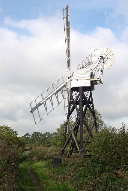
Boardman's Windmill
Boardman's Drainage Windmill is located at How Hill in the English county of Norfolk It is on the east bank of the River Ant close to the large Edwardian...
How Hill
How Hill is a hamlet on the River Ant within The Broads National Park in Ludham parish, Norfolk, England. How Hill House, completed in 1903, was designed...

Ant Broads and Marshes
Ant Broads and Marshes is a 745.3-hectare (1,842-acre) biological Site of Special Scientific Interest north-east of Norwich in Norfolk. Most of it is a...
Have you been to Mud Point?
Leave your review of Mud Point below (or comments, questions and feedback).