Collier Hope
Coastal Marsh, Saltings in Yorkshire Scarborough
England
Collier Hope
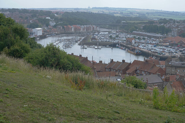
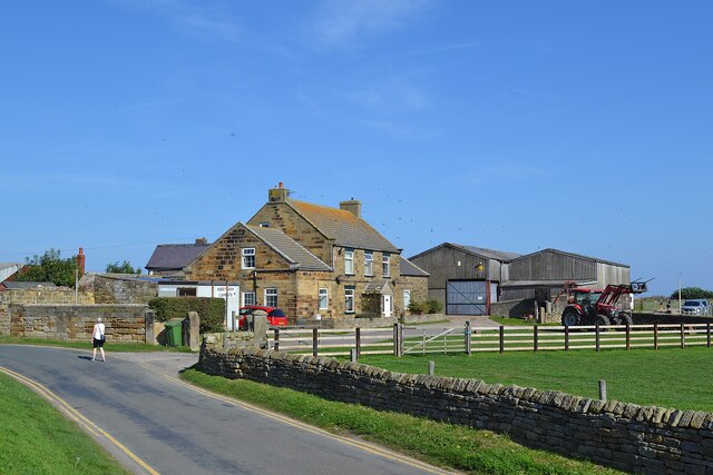
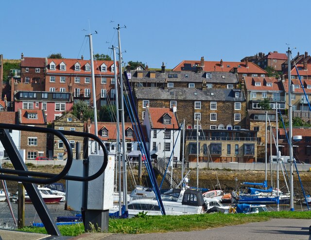
Collier Hope is a small village located on the Yorkshire coast, specifically situated on the Coastal Marsh and Saltings. It is a picturesque and serene place, known for its natural beauty and unique ecosystem. The village is surrounded by marshlands, dunes, and salt marshes, creating a diverse habitat for various plant and animal species.
The Coastal Marsh and Saltings in Collier Hope are a significant attraction for nature enthusiasts and birdwatchers. The area is home to a wide range of bird species, including waders, waterfowl, and seabirds. This makes it a popular spot for birdwatching, especially during the migration seasons.
The marshlands and saltings are also crucial for the local ecosystem. They serve as a habitat for many rare and protected species of plants and animals. The unique combination of saltwater and freshwater creates a delicate balance that supports the growth of unique plant species and provides a feeding ground for wildlife.
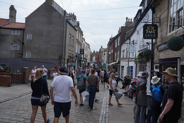
Collier Hope itself is a small and close-knit community, with a population of approximately 500 residents. The village has a charming and peaceful atmosphere, offering a respite from the hustle and bustle of city life. Visitors can explore the village's quaint streets, admire the traditional architecture, and enjoy the tranquility of the surrounding natural landscapes.
Overall, Collier Hope, Yorkshire (Coastal Marsh, Saltings) is a hidden gem on the Yorkshire coast, offering a beautiful and diverse natural environment, rich in wildlife and scenic beauty.
If you have any feedback on the listing, please let us know in the comments section below.
Collier Hope Images
Images are sourced within 2km of 54.490475/-0.61125239 or Grid Reference NZ9011. Thanks to Geograph Open Source API. All images are credited.
Collier Hope is located at Grid Ref: NZ9011 (Lat: 54.490475, Lng: -0.61125239)
Division: North Riding
Administrative County: North Yorkshire
District: Scarborough
Police Authority: North Yorkshire
What 3 Words
///socialite.scarf.followers. Near Whitby, North Yorkshire
Nearby Locations
Related Wikis

Eskdale Anticline
The Eskdale Anticline is a dip-slip fault at Whitby in North Yorkshire, England. The anticline was thought to have stretched for approximately 20 kilometres...

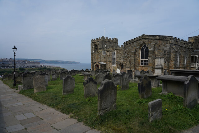
St Mary's Church, Whitby
The Church of Saint Mary is an Anglican parish church serving the town of Whitby in North Yorkshire England. It was founded around 1110, although its interior...

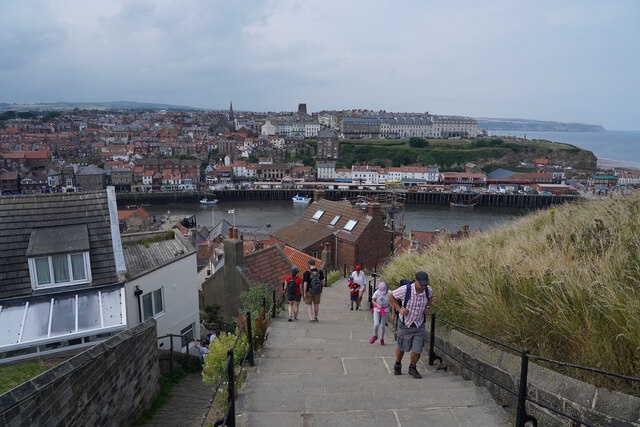
Whitby 199 steps
The Whitby 199 steps (also known as The Church Stairs and Jacob's Ladder), is a grade I listed structure between the Old Town and St Mary's Church, in...
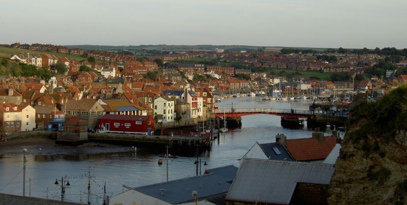
River Esk, North Yorkshire
The River Esk is a river in North Yorkshire, England that empties into the North Sea at Whitby after a course of around 28 miles (45 km) through the valley...

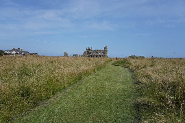
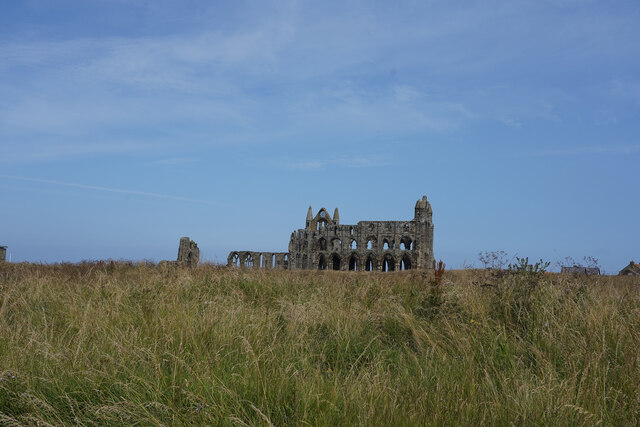
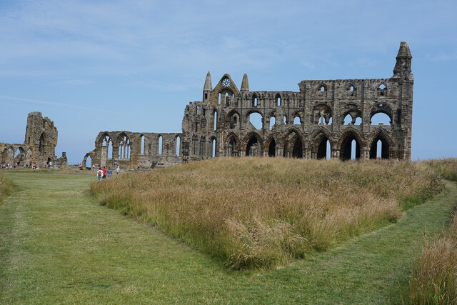
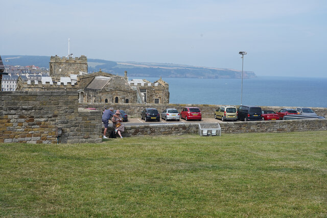
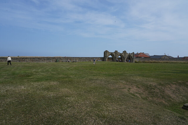
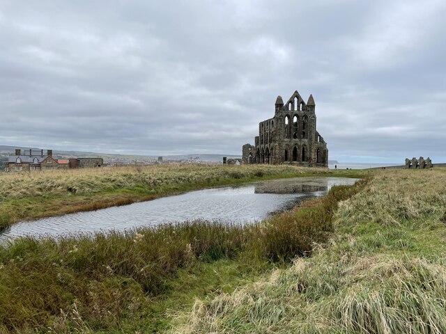
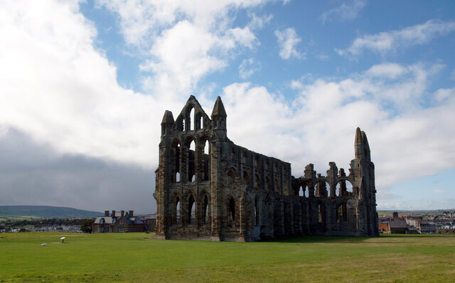
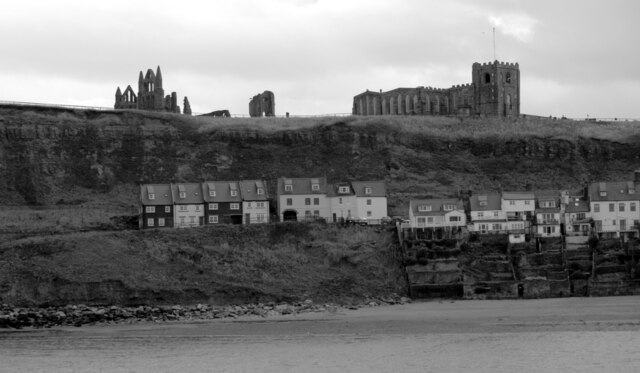
Whitby Abbey
Whitby Abbey was a 7th-century Christian monastery that later became a Benedictine abbey. The abbey church was situated overlooking the North Sea on the...

Magpie Café
The Magpie Café is a seafood restaurant in Whitby, North Yorkshire, England. It was established in 1937, but its building dates back to the 18th century...

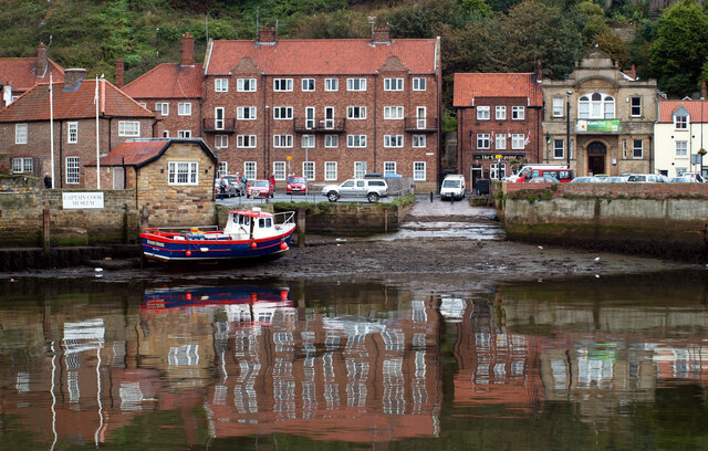
Whitby Lifeboat Station
Whitby Lifeboat Station is a Royal National Lifeboat Institution (RNLI) lifeboat station located in Whitby, North Yorkshire, England. It is one of nine...
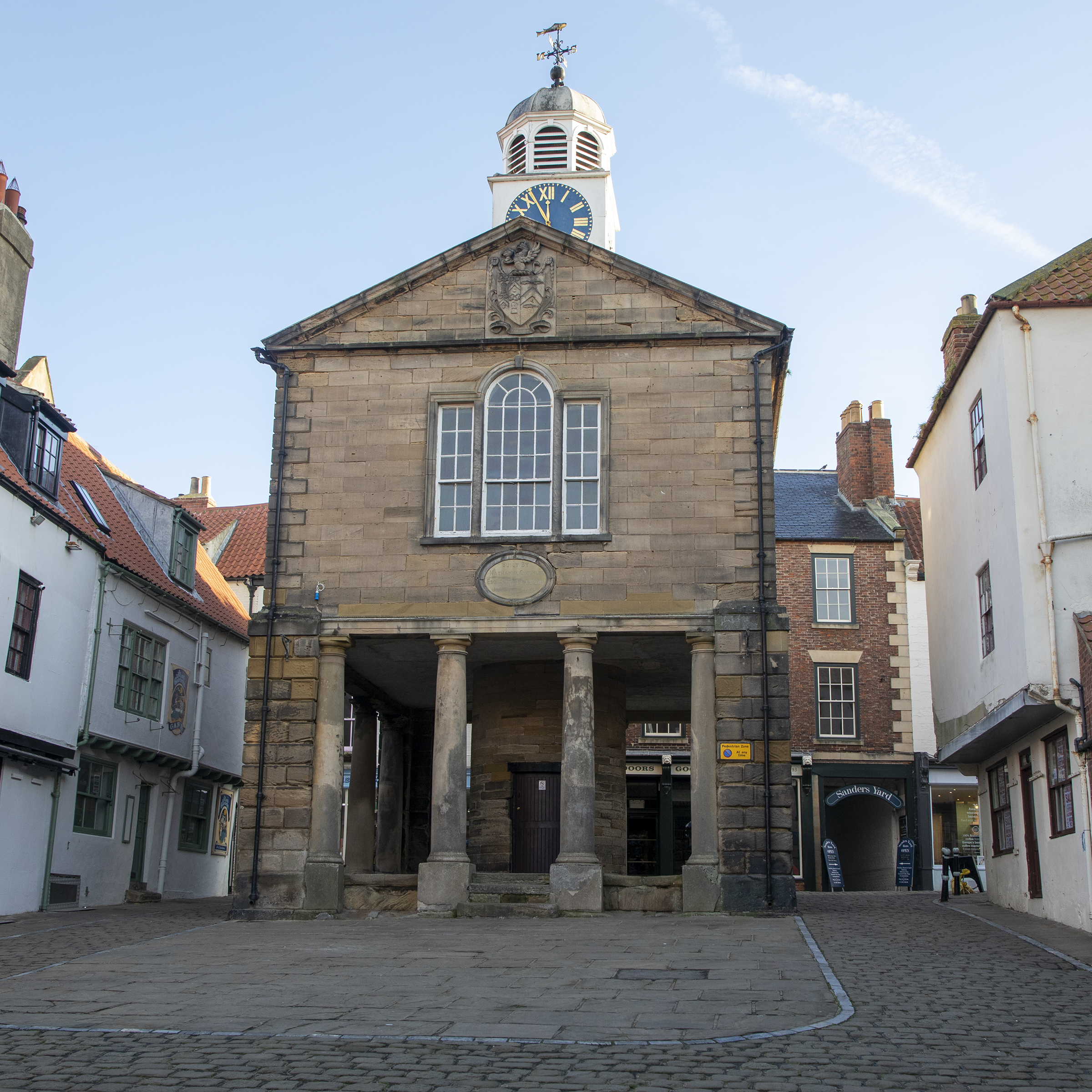
Old Town Hall, Whitby
The Old Town Hall, Whitby is a building on the Kirkgate section of Church Street, in the Old Town area of Whitby, North Yorkshire, England. == History... ==
Nearby Amenities
Located within 500m of 54.490475,-0.61125239Have you been to Collier Hope?
Leave your review of Collier Hope below (or comments, questions and feedback).