Windmill Hill
Hill, Mountain in Yorkshire Scarborough
England
Windmill Hill
Windmill Hill is a prominent landmark located in the county of Yorkshire, England. Situated in the southern part of the region, it forms part of the beautiful Yorkshire Wolds. Despite its name, Windmill Hill is not actually a hill but rather a small mountain, standing at an impressive height of 807 feet (246 meters) above sea level.
The hill is renowned for its captivating panoramic views, offering visitors a stunning vista of the surrounding countryside. On clear days, one can observe the undulating landscape of the Yorkshire Wolds, with its patchwork fields, gentle valleys, and charming villages. The hill's strategic location also allows for breathtaking vistas of the distant North Sea coastline.
Windmill Hill is home to a variety of wildlife, including several bird species such as kestrels and barn owls. The hill's grassy slopes are dotted with vibrant wildflowers during the warmer months, creating a picturesque scene for nature enthusiasts.
At the summit of Windmill Hill stands an iconic windmill, which lends its name to the site. This historic structure, dating back to the 19th century, serves as a reminder of the area's agricultural past. While the windmill is no longer operational, it remains a popular attraction for tourists, who can explore its interior and learn about its significance to the local community.
In addition to its natural and historical features, Windmill Hill offers numerous walking trails and picnic spots, making it a popular destination for outdoor enthusiasts and families alike. Its proximity to nearby towns and villages ensures that visitors can easily access amenities and accommodation, further enhancing the appeal of this remarkable Yorkshire landmark.
If you have any feedback on the listing, please let us know in the comments section below.
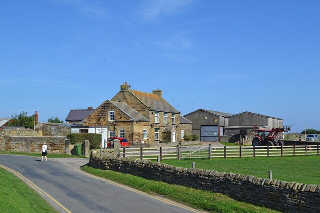
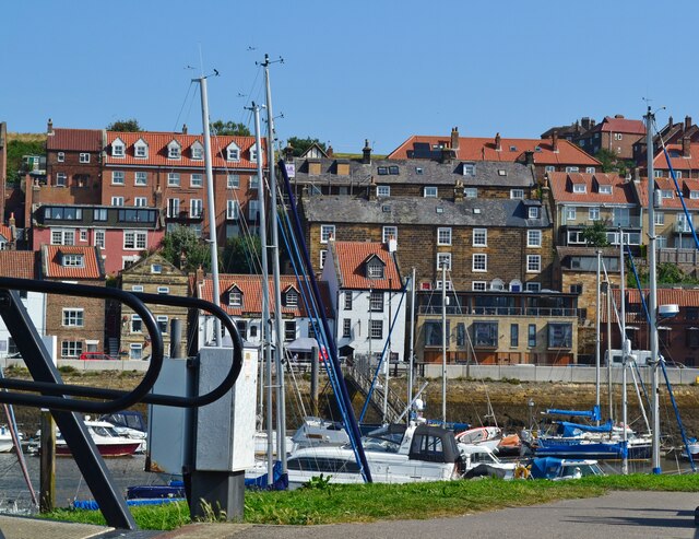
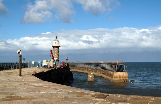
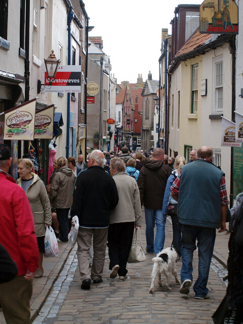
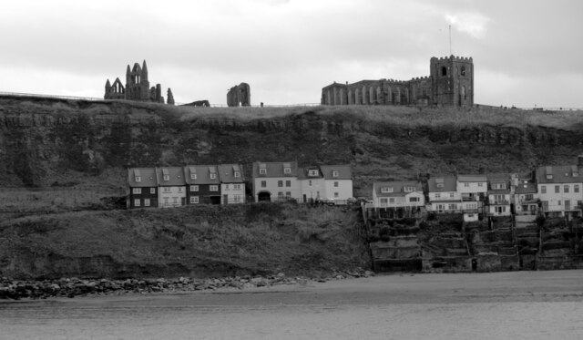
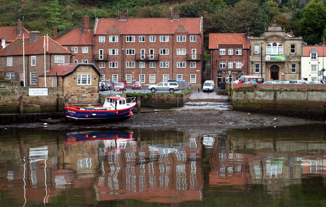
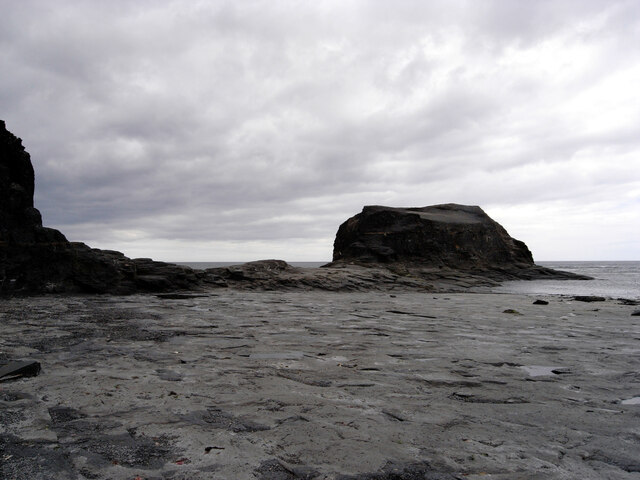
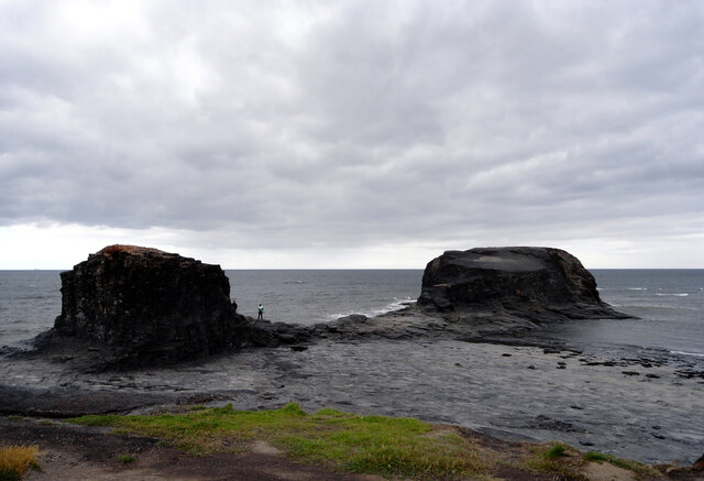
Windmill Hill Images
Images are sourced within 2km of 54.487043/-0.6044064 or Grid Reference NZ9011. Thanks to Geograph Open Source API. All images are credited.


Windmill Hill is located at Grid Ref: NZ9011 (Lat: 54.487043, Lng: -0.6044064)
Division: North Riding
Administrative County: North Yorkshire
District: Scarborough
Police Authority: North Yorkshire
What 3 Words
///ascendant.embedded.owls. Near Whitby, North Yorkshire
Nearby Locations
Related Wikis
Cholmley House
Cholmley House or Whitby Hall is a banqueting house sited next to the ruins of Whitby Abbey in North Yorkshire, England. It was built in 1672 by Sir Hugh...

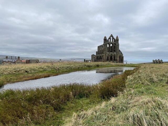
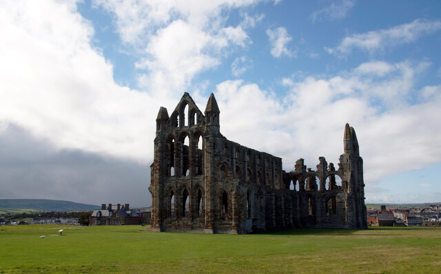
Whitby Abbey
Whitby Abbey was a 7th-century Christian monastery that later became a Benedictine abbey. The abbey church was situated overlooking the North Sea on the...

St Mary's Church, Whitby
The Church of Saint Mary is an Anglican parish church serving the town of Whitby in North Yorkshire England. It was founded around 1110, although its interior...

Whitby 199 steps
The Whitby 199 steps (also known as The Church Stairs and Jacob's Ladder), is a grade I listed structure between the Old Town and St Mary's Church, in...
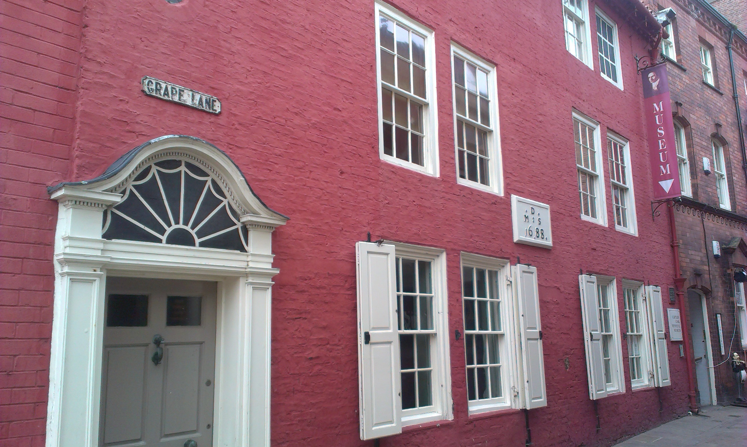
Captain Cook Memorial Museum
Captain Cook Memorial Museum is a history museum in Whitby, North Yorkshire, England. The museum building, Walker's House, belonged to Captain John Walker...
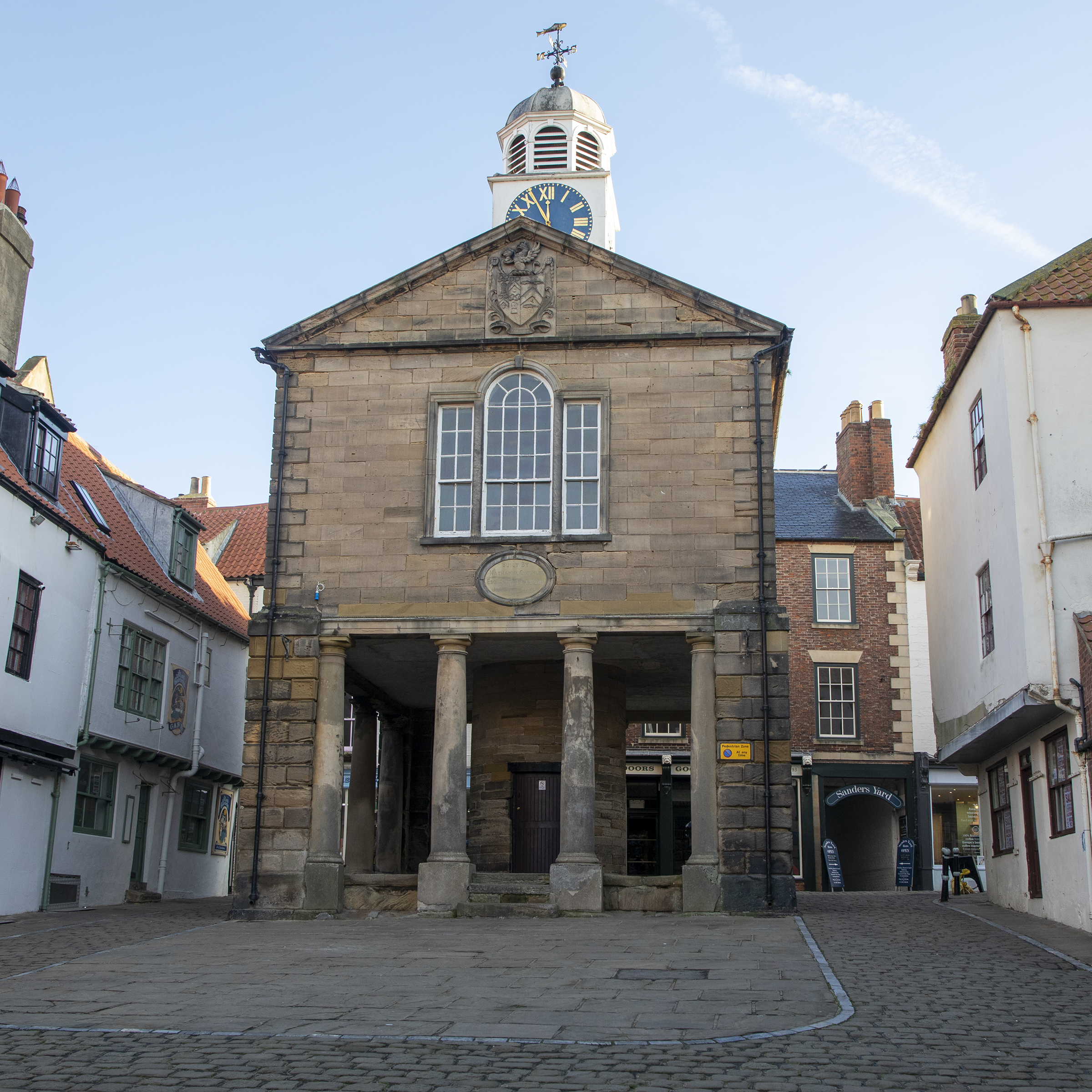
Old Town Hall, Whitby
The Old Town Hall, Whitby is a building on the Kirkgate section of Church Street, in the Old Town area of Whitby, North Yorkshire, England. == History... ==
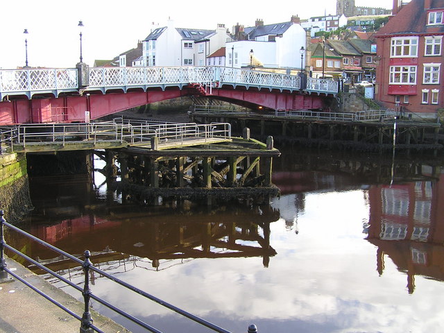
Whitby Swing Bridge
Whitby Swing Bridge is a pedestrian and road bridge over the River Esk in Whitby, North Yorkshire, England. == History == The River Esk has been crossed...

Port of Whitby
The Port of Whitby is an ancient and historic seaport on the North Yorkshire coast of England. The port lies at the mouth of the River Esk, where it enters...
Related Videos

WHITBY - The Perfect Yorkshire Seaside
WHITBY - The Perfect Yorkshire Seaside. Whitby, a delightful holiday seaside town on England's Yorkshire coast, is definitely a ...
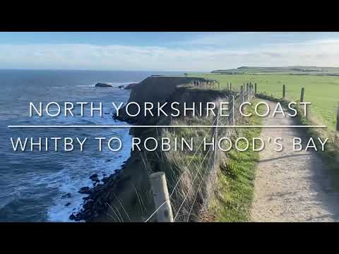
Walking from Whitby to Robin Hood’s Bay along the coastal clifftop path
Walking from Whitby to Robin Hood's Bay. One of England's finest stretches of coastal path. A beautiful sunny January day.

WHITBY | The ultimate seafront tour of Whitby
Welcome to Whitby in North Yorkshire, England. This seaside town is famous for it's town, Whitby Abbey and Dracula, but what is ...

Wandering around #whitby #travel #gimbalwalktv
It's always great to wander round the holiday seaside town of Whitby in North Yorkshire, famous for Whitby Abbey, Dracula and it's ...
Nearby Amenities
Located within 500m of 54.487043,-0.6044064Have you been to Windmill Hill?
Leave your review of Windmill Hill below (or comments, questions and feedback).