Gravel Bight
Bay in Yorkshire Scarborough
England
Gravel Bight
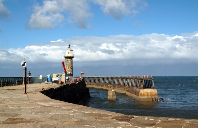
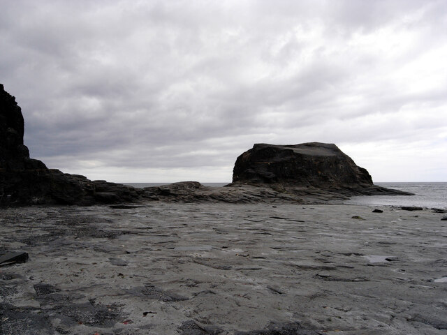
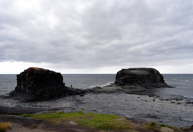
Gravel Bight is a picturesque bay located in Yorkshire, a historic county in northeastern England. Nestled along the stunning Yorkshire coastline, Gravel Bight offers breathtaking views of the North Sea and is a popular destination for tourists and locals alike.
The bay is named after the gravelly beach that stretches along its coastline, providing a unique and distinctive feature. This shingle beach is known for its smooth, rounded stones that create a soothing sound as the waves crash against the shore. The beach is ideal for leisurely walks, picnics, and sunbathing during the summer months.
Gravel Bight is surrounded by cliffs and rugged coastal landscapes, providing a dramatic backdrop to the bay. The cliffs offer a sanctuary for various seabirds, making it a haven for birdwatching enthusiasts. Visitors can witness a variety of species, including gulls, puffins, and guillemots, in their natural habitat.
The bay also offers opportunities for water-based activities such as swimming, snorkeling, and kayaking. The clear waters are teeming with marine life, making it a popular spot for divers to explore the underwater world.
For those seeking a peaceful retreat, Gravel Bight is an ideal choice. The bay is relatively secluded, providing a tranquil and serene atmosphere. Visitors can enjoy the sound of crashing waves, the salty sea breeze, and the stunning coastal views, making it a perfect getaway from the hustle and bustle of city life.
Overall, Gravel Bight is a hidden gem in Yorkshire, offering a mix of natural beauty, outdoor activities, and tranquility, making it a must-visit destination for nature lovers and adventure seekers alike.
If you have any feedback on the listing, please let us know in the comments section below.
Gravel Bight Images
Images are sourced within 2km of 54.490579/-0.60700321 or Grid Reference NZ9011. Thanks to Geograph Open Source API. All images are credited.


Gravel Bight is located at Grid Ref: NZ9011 (Lat: 54.490579, Lng: -0.60700321)
Division: North Riding
Administrative County: North Yorkshire
District: Scarborough
Police Authority: North Yorkshire
What 3 Words
///represent.sleep.navigate. Near Whitby, North Yorkshire
Nearby Locations
Related Wikis

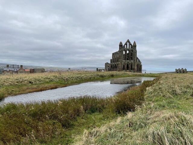
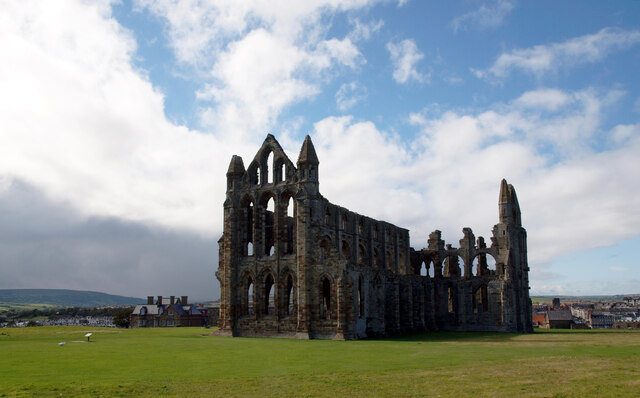
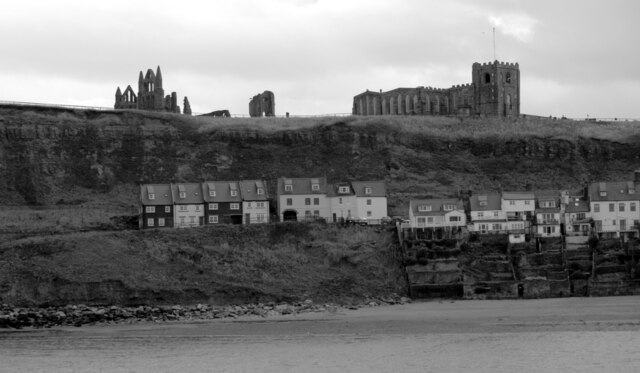
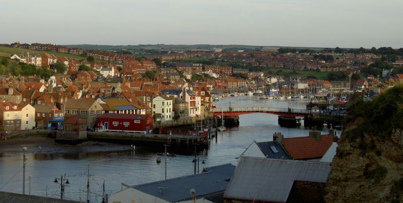
Whitby Abbey
Whitby Abbey was a 7th-century Christian monastery that later became a Benedictine abbey. The abbey church was situated overlooking the North Sea on the...

St Mary's Church, Whitby
The Church of Saint Mary is an Anglican parish church serving the town of Whitby in North Yorkshire England. It was founded around 1110, although its interior...

Eskdale Anticline
The Eskdale Anticline is a dip-slip fault at Whitby in North Yorkshire, England. The anticline was thought to have stretched for approximately 20 kilometres...

Whitby 199 steps
The Whitby 199 steps (also known as The Church Stairs and Jacob's Ladder), is a grade I listed structure between the Old Town and St Mary's Church, in...
Cholmley House
Cholmley House or Whitby Hall is a banqueting house sited next to the ruins of Whitby Abbey in North Yorkshire, England. It was built in 1672 by Sir Hugh...
River Esk, North Yorkshire
The River Esk is a river in North Yorkshire, England that empties into the North Sea at Whitby after a course of around 28 miles (45 km) through the valley...
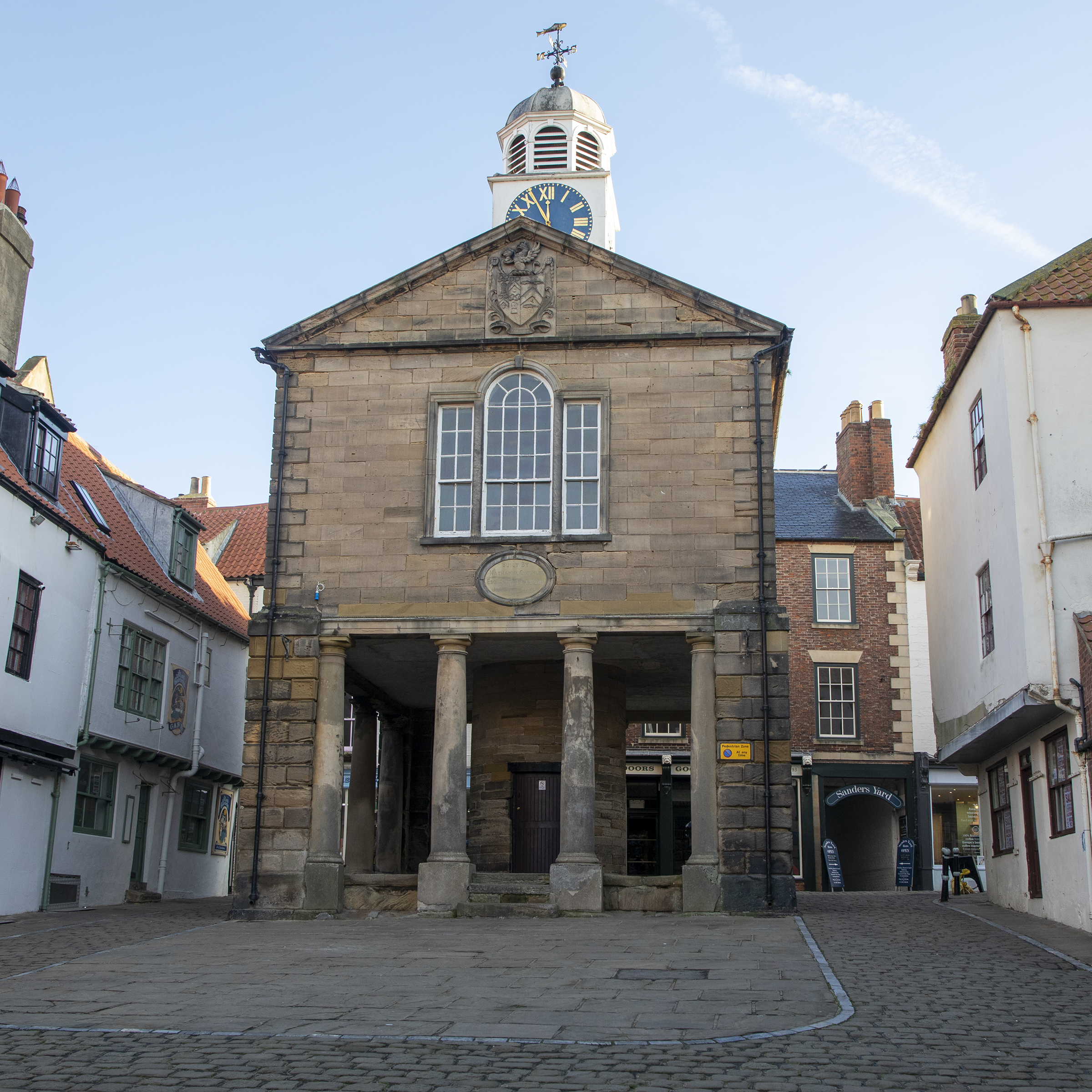
Old Town Hall, Whitby
The Old Town Hall, Whitby is a building on the Kirkgate section of Church Street, in the Old Town area of Whitby, North Yorkshire, England. == History... ==

Whitby Lifeboat Station
Whitby Lifeboat Station is a Royal National Lifeboat Institution (RNLI) lifeboat station located in Whitby, North Yorkshire, England. It is one of nine...
Related Videos

WHITBY - The Perfect Yorkshire Seaside
WHITBY - The Perfect Yorkshire Seaside. Whitby, a delightful holiday seaside town on England's Yorkshire coast, is definitely a ...
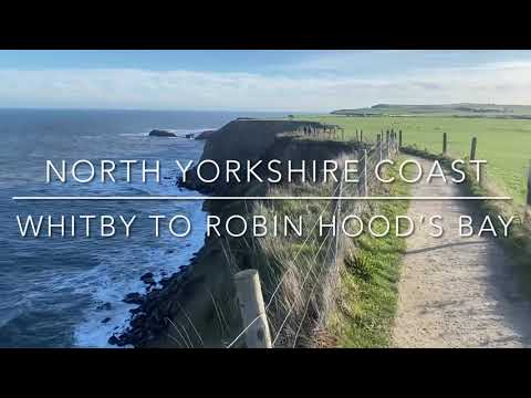
Walking from Whitby to Robin Hood’s Bay along the coastal clifftop path
Walking from Whitby to Robin Hood's Bay. One of England's finest stretches of coastal path. A beautiful sunny January day.

WHITBY - The ultimate tour of seaside town Whitby, England
WHITBY - The ultimate tour of seaside town Whitby, England. We visit this beautiful Yorkshire seaside holiday town for a look ...
![Whitby Goth Weekend April 2023 full walking tour | [4K]](https://i.ytimg.com/vi/pPLQKTXkpgI/hqdefault.jpg)
Whitby Goth Weekend April 2023 full walking tour | [4K]
We went to Whitby on goth weekend this year and made a full walking tour of it. You will love this video and please watch till end ...
Nearby Amenities
Located within 500m of 54.490579,-0.60700321Have you been to Gravel Bight?
Leave your review of Gravel Bight below (or comments, questions and feedback).