First Bight
Bay in Yorkshire Scarborough
England
First Bight

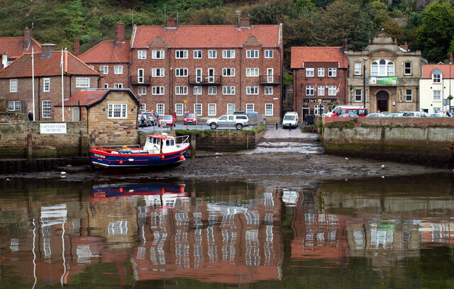
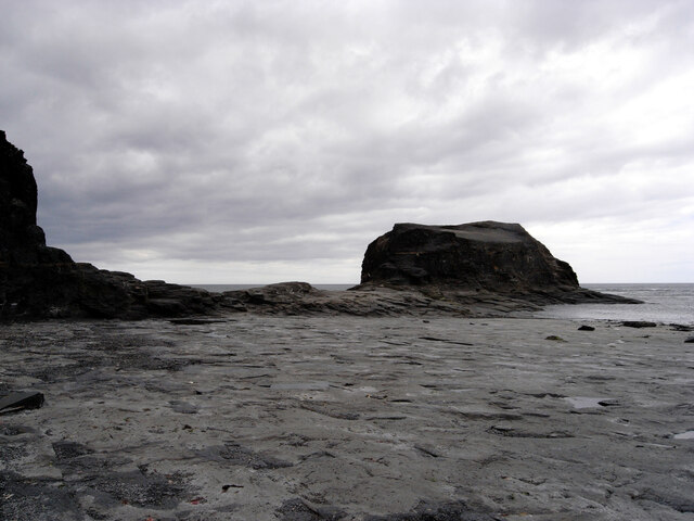
First Bight is a picturesque bay located on the Yorkshire coast in England. Situated between the towns of Scarborough and Filey, it offers breathtaking views of the North Sea and is renowned for its natural beauty. The bay is characterized by its sweeping sandy beach, which stretches for approximately two miles and is backed by rolling hills and cliffs.
First Bight is a popular destination for locals and tourists alike, attracting visitors with its tranquil atmosphere and stunning surroundings. The bay is ideal for those seeking a peaceful beach experience, as it is less crowded than some of the more well-known seaside resorts in the region. The beach is perfect for sunbathing, picnicking, and leisurely strolls along the shore.
Nature enthusiasts will appreciate the diverse wildlife that can be found in and around First Bight. The bay is home to a variety of seabirds, making it a prime spot for birdwatching. Additionally, the surrounding cliffs provide nesting sites for various species, adding to the ecological significance of the area.
For those interested in exploring further, there are several walking trails that lead from First Bight to nearby coastal villages and attractions. These paths offer stunning views of the bay and provide opportunities to discover the rich history and heritage of the area.
Overall, First Bight offers visitors a peaceful and scenic retreat, showcasing the natural beauty that the Yorkshire coast has to offer. Whether it's relaxing on the sandy beach, observing the local wildlife, or embarking on a coastal walk, First Bight is a must-visit destination for nature lovers and beach enthusiasts.
If you have any feedback on the listing, please let us know in the comments section below.
First Bight Images
Images are sourced within 2km of 54.490699/-0.60885178 or Grid Reference NZ9011. Thanks to Geograph Open Source API. All images are credited.


First Bight is located at Grid Ref: NZ9011 (Lat: 54.490699, Lng: -0.60885178)
Division: North Riding
Administrative County: North Yorkshire
District: Scarborough
Police Authority: North Yorkshire
What 3 Words
///fortnight.threading.script. Near Whitby, North Yorkshire
Nearby Locations
Related Wikis

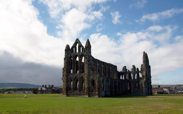
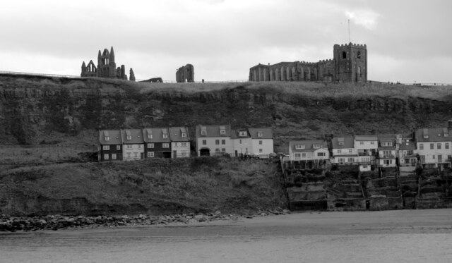
Whitby Abbey
Whitby Abbey was a 7th-century Christian monastery that later became a Benedictine abbey. The abbey church was situated overlooking the North Sea on the...

St Mary's Church, Whitby
The Church of Saint Mary is an Anglican parish church serving the town of Whitby in North Yorkshire England. It was founded around 1110, although its interior...

Eskdale Anticline
The Eskdale Anticline is a dip-slip fault at Whitby in North Yorkshire, England. The anticline was thought to have stretched for approximately 20 kilometres...

Whitby 199 steps
The Whitby 199 steps (also known as The Church Stairs and Jacob's Ladder), is a grade I listed structure between the Old Town and St Mary's Church, in...
Nearby Amenities
Located within 500m of 54.490699,-0.60885178Have you been to First Bight?
Leave your review of First Bight below (or comments, questions and feedback).