The Scar
Coastal Feature, Headland, Point in Yorkshire Scarborough
England
The Scar
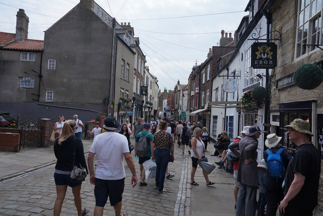
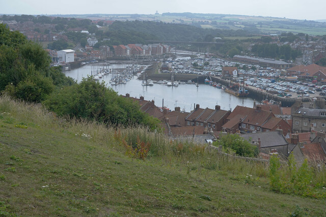
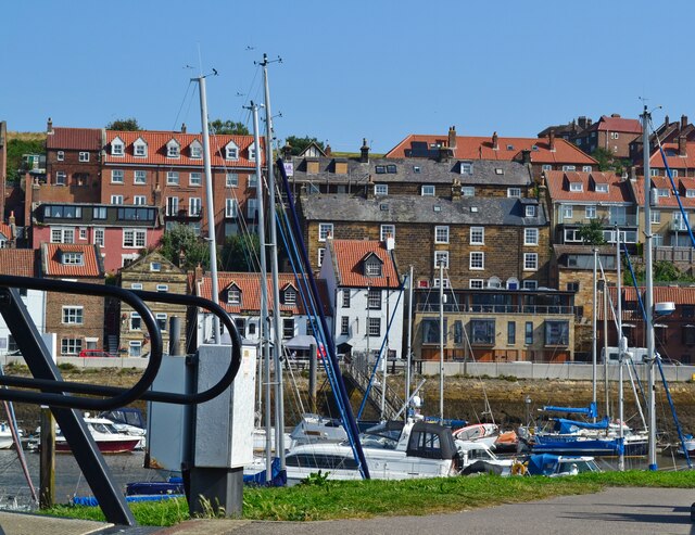
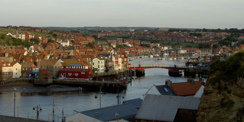
The Scar is a prominent coastal feature located in Yorkshire, England. It is a stunning headland that extends out into the North Sea, creating a distinct point along the coastline. The Scar is known for its rugged beauty and dramatic cliffs that rise above the crashing waves below.
This coastal feature is formed by the erosion of the surrounding cliffs, which have been shaped over centuries by the powerful forces of wind and water. The cliffs are composed of a variety of sedimentary rock types, including sandstone and shale, which give the area its unique geology.
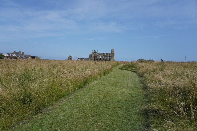
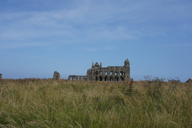
The Scar offers breathtaking views of the surrounding coastline, with panoramas of the sea stretching out as far as the eye can see. On clear days, it is possible to catch glimpses of distant ships and even other headlands in the distance. The headland is also home to a diverse range of flora and fauna, with seabirds nesting in the cliffs and wildflowers dotting the landscape.
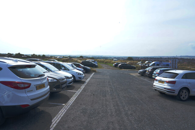
Visitors to The Scar can explore the area by taking a walk along the cliff-top path, which offers stunning vistas at every turn. There are also opportunities for rock climbing and birdwatching, making it a popular destination for outdoor enthusiasts. The Scar is easily accessible by car or public transportation, and there are nearby amenities such as parking and restrooms.
Overall, The Scar is a captivating coastal feature in Yorkshire, offering visitors a chance to experience the raw beauty of the North Sea and the stunning cliffs that define this stretch of coastline.
If you have any feedback on the listing, please let us know in the comments section below.
The Scar Images
Images are sourced within 2km of 54.490092/-0.60297486 or Grid Reference NZ9011. Thanks to Geograph Open Source API. All images are credited.
The Scar is located at Grid Ref: NZ9011 (Lat: 54.490092, Lng: -0.60297486)
Division: North Riding
Administrative County: North Yorkshire
District: Scarborough
Police Authority: North Yorkshire
What 3 Words
///lobster.kings.astounded. Near Whitby, North Yorkshire
Nearby Locations
Related Wikis

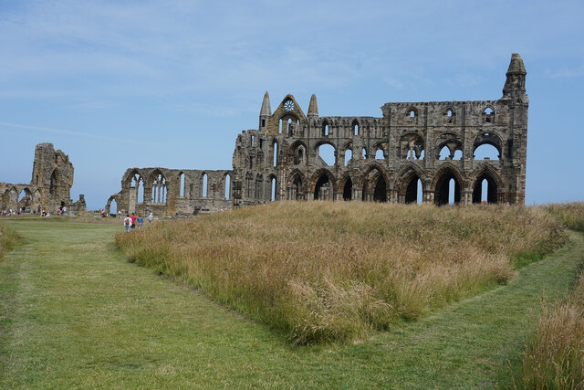
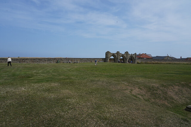
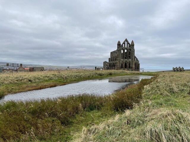
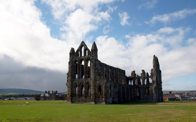
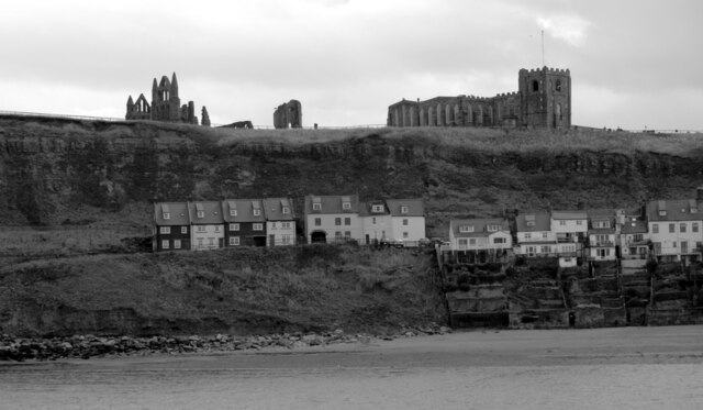
Whitby Abbey
Whitby Abbey was a 7th-century Christian monastery that later became a Benedictine abbey. The abbey church was situated overlooking the North Sea on the...
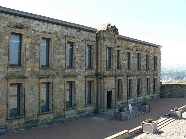
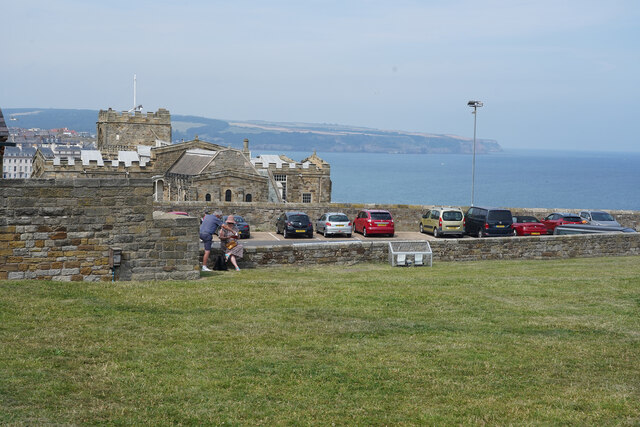
Cholmley House
Cholmley House or Whitby Hall is a banqueting house sited next to the ruins of Whitby Abbey in North Yorkshire, England. It was built in 1672 by Sir Hugh...

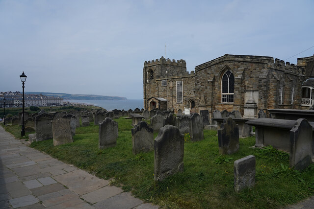
St Mary's Church, Whitby
The Church of Saint Mary is an Anglican parish church serving the town of Whitby in North Yorkshire England. It was founded around 1110, although its interior...

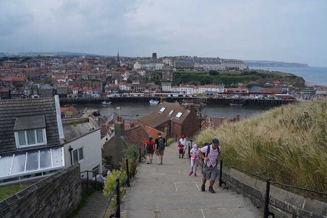
Whitby 199 steps
The Whitby 199 steps (also known as The Church Stairs and Jacob's Ladder), is a grade I listed structure between the Old Town and St Mary's Church, in...

Eskdale Anticline
The Eskdale Anticline is a dip-slip fault at Whitby in North Yorkshire, England. The anticline was thought to have stretched for approximately 20 kilometres...
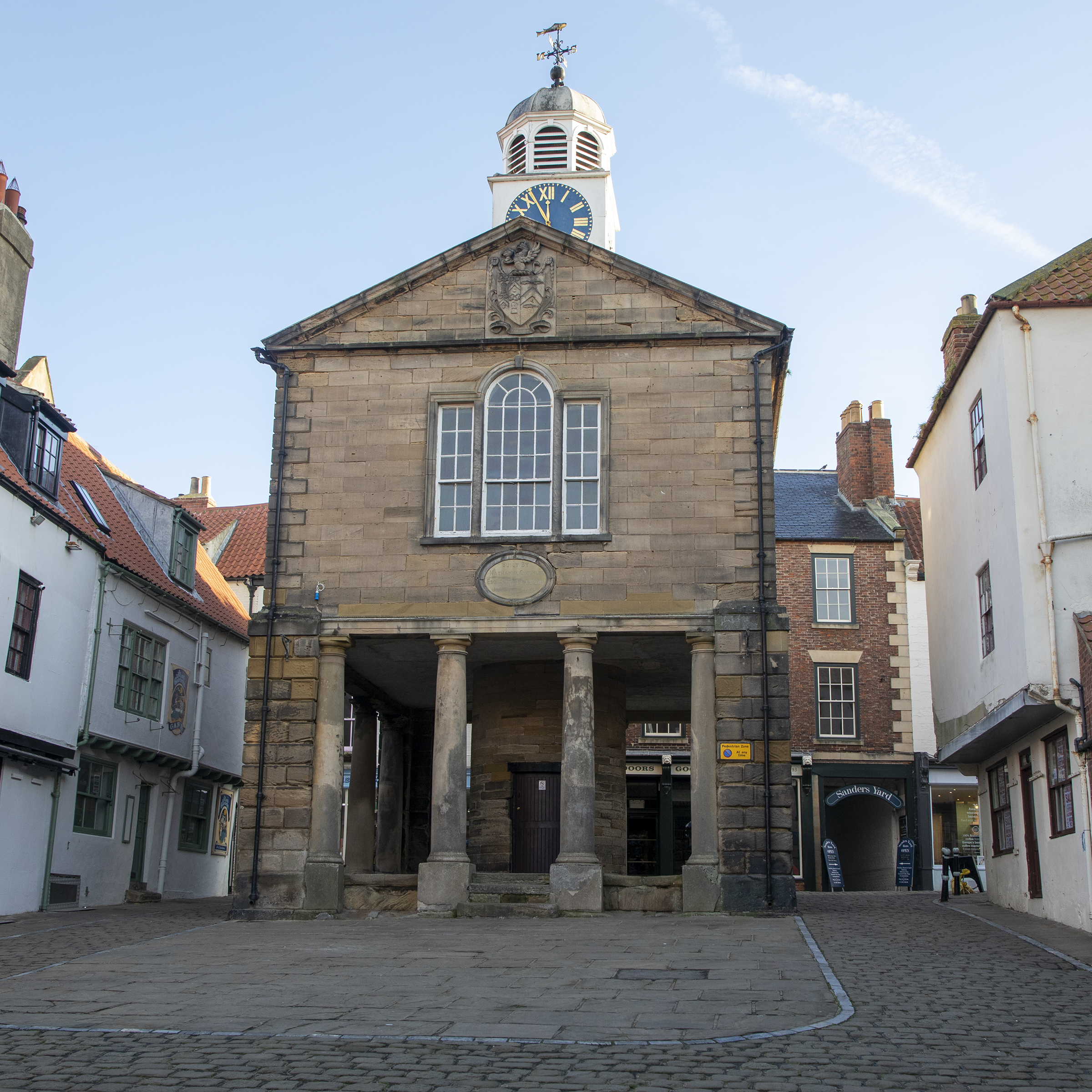
Old Town Hall, Whitby
The Old Town Hall, Whitby is a building on the Kirkgate section of Church Street, in the Old Town area of Whitby, North Yorkshire, England. == History... ==
River Esk, North Yorkshire
The River Esk is a river in North Yorkshire, England that empties into the North Sea at Whitby after a course of around 28 miles (45 km) through the valley...
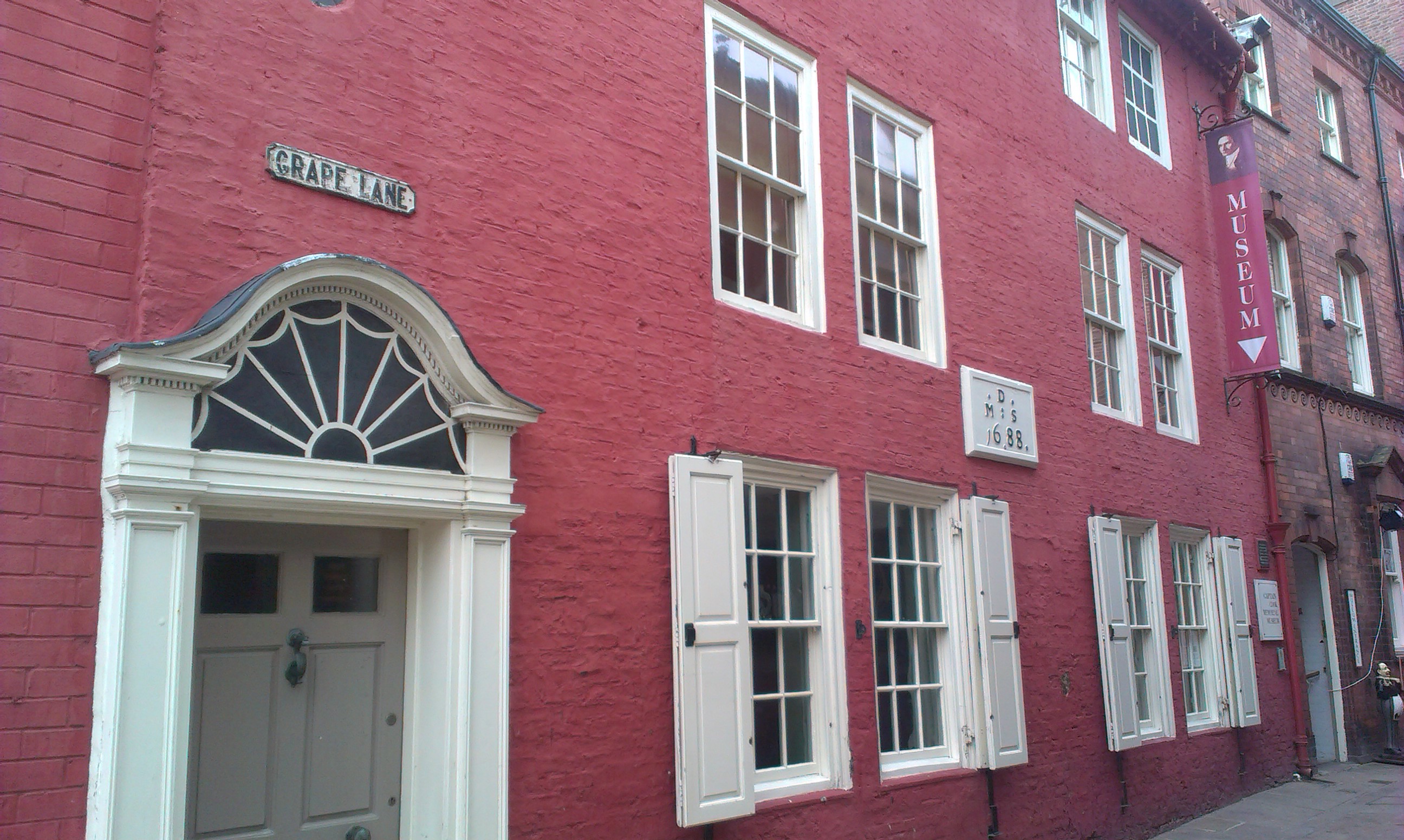
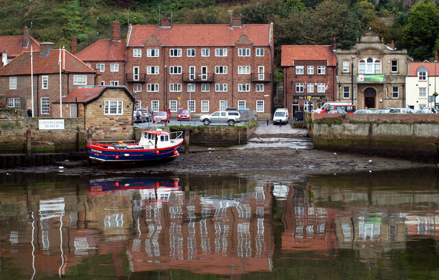
Captain Cook Memorial Museum
Captain Cook Memorial Museum is a history museum in Whitby, North Yorkshire, England. The museum building, Walker's House, belonged to Captain John Walker...
Nearby Amenities
Located within 500m of 54.490092,-0.60297486Have you been to The Scar?
Leave your review of The Scar below (or comments, questions and feedback).