Barn Rocks
Coastal Feature, Headland, Point in Sussex
England
Barn Rocks
Barn Rocks is a prominent coastal feature located in Sussex, England. Situated along the coast, it is classified as a headland or point due to its protrusion into the English Channel. The area is known for its stunning natural beauty and unique geological formations.
Rising majestically from the shoreline, Barn Rocks is characterized by its towering cliffs and rugged terrain. The cliffs, composed primarily of chalk and flint, showcase a striking white color that contrasts beautifully with the deep blue waters of the English Channel below. These cliffs have been shaped by centuries of erosion, resulting in a dramatic and picturesque landscape.
The area is a popular destination for nature enthusiasts and outdoor adventurers. Visitors can explore the coastal paths that wind their way along the cliffs, offering breathtaking views of the surrounding coastline and the vast expanse of the sea. The site is also renowned for its diverse wildlife, with various seabird species nesting along the cliffs and seals occasionally seen basking on the nearby rocks.
Barn Rocks is not only a haven for nature lovers but also holds historical significance. The area is dotted with remnants of World War II fortifications, serving as a reminder of the past. These structures add an intriguing element to the landscape and provide an insight into the region's history.
Overall, Barn Rocks is a captivating coastal feature that offers both natural beauty and historical interest. Its towering cliffs, stunning views, and unique geological formations make it a must-visit destination for anyone exploring the Sussex coastline.
If you have any feedback on the listing, please let us know in the comments section below.
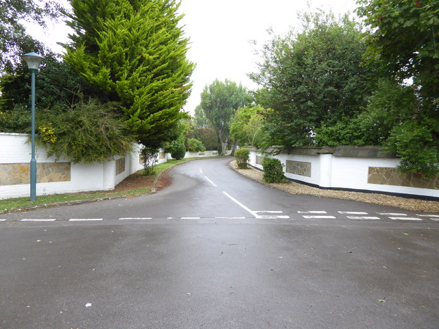
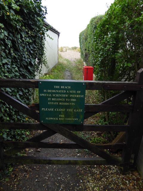
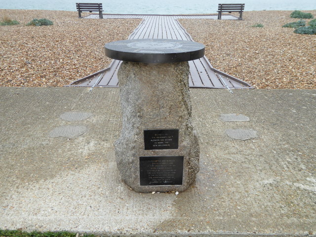
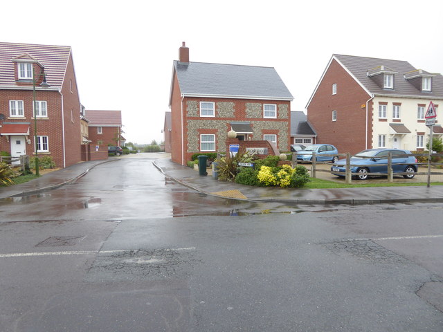
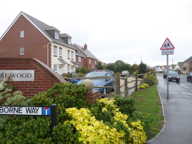
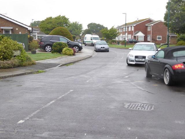
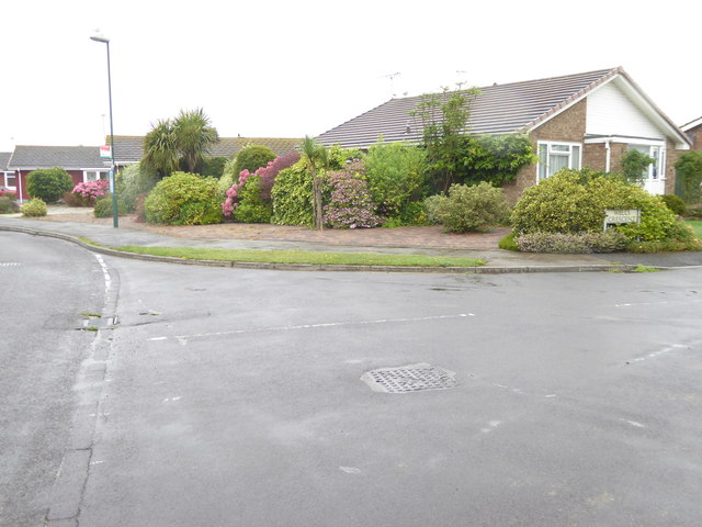
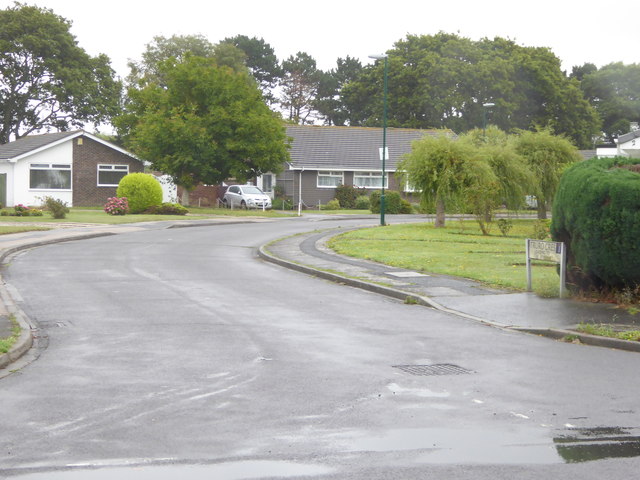
Barn Rocks Images
Images are sourced within 2km of 50.771694/-0.71254922 or Grid Reference SZ9097. Thanks to Geograph Open Source API. All images are credited.

Barn Rocks is located at Grid Ref: SZ9097 (Lat: 50.771694, Lng: -0.71254922)
Administrative County: West Sussex
Police Authority: Sussex
What 3 Words
///emporium.tree.arriving. Near Bognor Regis, West Sussex
Nearby Locations
Related Wikis

Craigweil House
Craigweil House was a coastal mansion at Aldwick near Bognor Regis in southern England. King George V stayed there for three months in 1929. Craigweil...

Bognor Reef
Bognor Reef is a 39.7-hectare (98-acre) biological and geological Site of Special Scientific Interest which stretches along the foreshore of Bognor Regis...

Aldwick
Aldwick is a seaside village and civil parish in the Arun district of West Sussex, England. Bognor Regis is to the east of the village. The ecclesiastical...

Bognor Regis West & Aldwick (electoral division)
Bognor Regis West & Aldwick is an electoral division of West Sussex in the United Kingdom and returns one member to sit on West Sussex County Council....
Pagham F.C.
Pagham Football Club is a football club based in Pagham, near Bognor Regis, West Sussex, England. They are currently members of the Southern Combination...

Pagham Cricket Club Ground
Pagham Cricket Club Ground is a cricket ground in Pagham, Sussex. The first recorded match on the ground was in 1976, when Sussex played the first first...
RAF Bognor
RAF Bognor (also known as Bognor Advanced Landing Ground (A.L.G.)) is a former Royal Air Force Advanced Landing Ground 2 miles (3.2 km) north of Bognor...

Nyetimber Mill
Nyetimber Mill is a grade II listed tower mill at Pagham, Sussex, England which has been converted to residential use. == History == Nyetimber Mill was...
Nearby Amenities
Located within 500m of 50.771694,-0.71254922Have you been to Barn Rocks?
Leave your review of Barn Rocks below (or comments, questions and feedback).