South Ayre

Coastal Marsh, Saltings in Shetland

Scotland

South Ayre

The valley of the Falsa Burn Looking out to sea from near Huxter. I suspect that, had the weather not been so dry for the last month, this ground would be very damp.
The valley of the Falsa Burn Credit: David Purchase

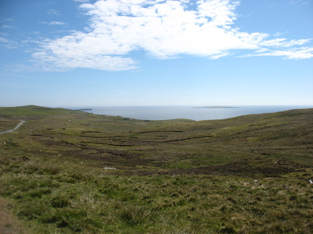
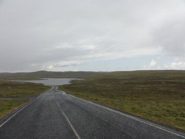
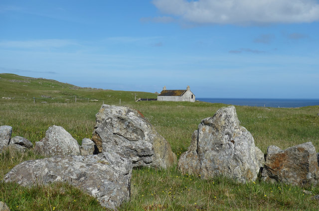
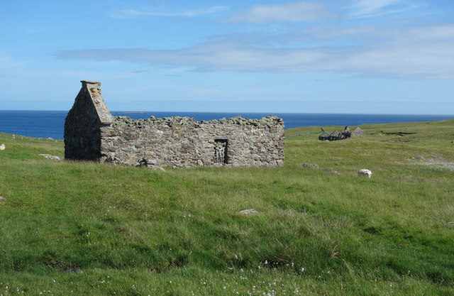
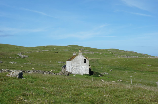
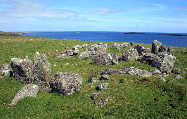
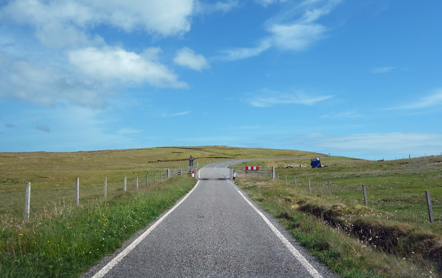
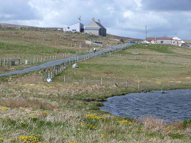
South Ayre, located in Shetland, Scotland, is a coastal marsh and saltings area renowned for its stunning natural beauty and diverse ecosystems. Spanning approximately X square kilometers, this unique habitat boasts a rich array of flora and fauna, making it a significant area for ecological conservation and scientific study.

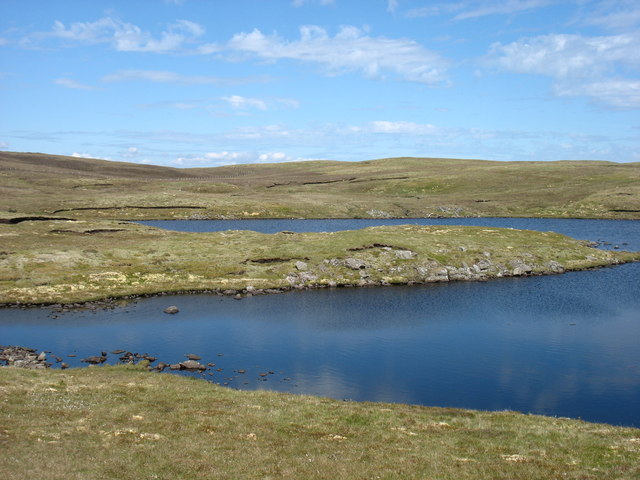
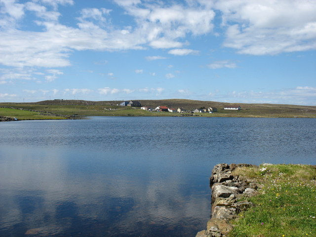
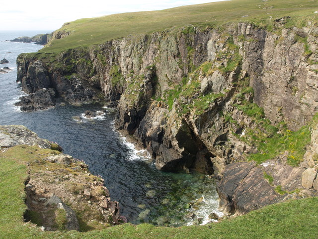
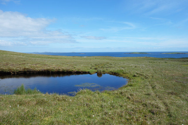
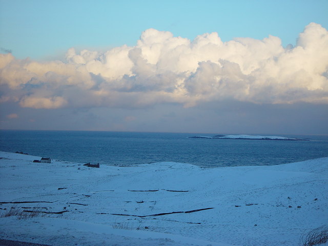
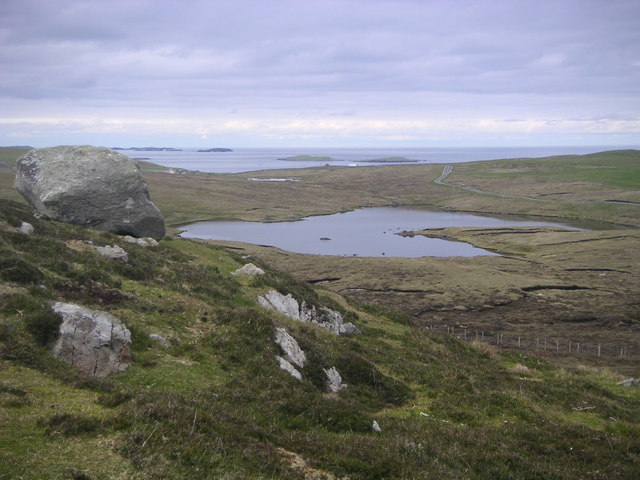
The marshland of South Ayre is characterized by its vast stretches of wetland vegetation, including saltmarsh grasses, reeds, and sedges. These plants thrive in the brackish water, which is a result of the intermingling of freshwater from nearby streams and the tidal influence of the North Sea. The marshes act as a vital breeding ground and feeding site for a variety of bird species, such as wading birds, ducks, and geese, which flock to the area during migration seasons.

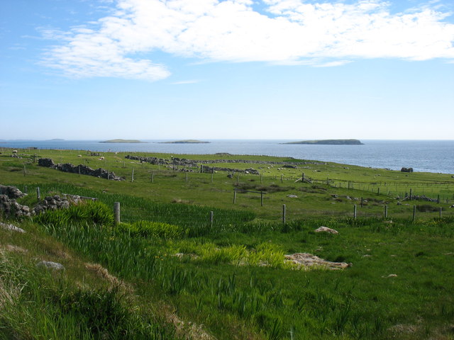
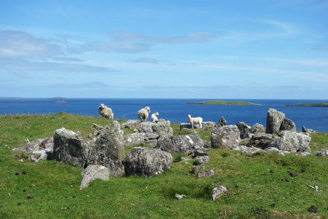
The adjoining saltings, a type of coastal salt marsh, are an essential component of the South Ayre ecosystem. These salt-tolerant habitats support a diverse range of plant life, including samphire, sea lavender, and sea aster. The saltings provide important nesting areas for various bird species and serve as a critical feeding ground for wading birds, such as curlews and oystercatchers, which feed on the abundant invertebrates found in the mudflats.

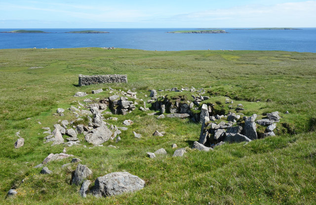
South Ayre's unique geographical location and environmental conditions have created a haven for wildlife, including otters, seals, and a variety of fish species. The area is also home to a number of rare and endangered plant species, making it an integral part of Shetland's biodiversity.

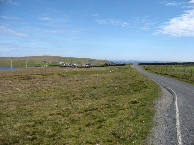
Due to its ecological significance, South Ayre is protected under various conservation designations, including being a Site of Special Scientific Interest (SSSI). It is also a popular destination for nature enthusiasts, birdwatchers, and eco-tourists, who visit to witness the exceptional beauty and diversity of this coastal marsh and saltings.

If you have any feedback on the listing, please let us know in the comments section below.

South Ayre Images

Images are sourced within 2km of 60.352013/-0.95017503 or Grid Reference HU5863. Thanks to Geograph Open Source API. All images are credited.

The valley of the Falsa Burn Looking out to sea from near Huxter. I suspect that, had the weather not been so dry for the last month, this ground would be very damp.
The valley of the Falsa Burn
Looking out to sea from near Huxter. I suspect that, had the weather not been so dry for the last month, this ground would be very damp.
Nuckro Water, Whalsay
Approaching Isbister, Whalsay The Out Skerries are on the horizon.
Approaching Isbister, Whalsay
The Out Skerries are on the horizon.
Country near Isbister At sea, left to right, are the islets of Nista, Mooa and Isbister Holm, with the Out Skerries in the far distance on the left.
Country near Isbister
At sea, left to right, are the islets of Nista, Mooa and Isbister Holm, with the Out Skerries in the far distance on the left.
Loch Isbister
Loch Isbister
The Houll, Whalsay Probably usually very damp.
The Houll, Whalsay
Probably usually very damp.
View towards Nuckro Water View towards Nuckro water on the island of Whalsay
View towards Nuckro Water
View towards Nuckro water on the island of Whalsay
Standing Stones of Yoxie Standing Stones of Yoxie, Pettigarths Fields, Mid Breck, Whalsay.
Standing Stones of Yoxie
Standing Stones of Yoxie, Pettigarths Fields, Mid Breck, Whalsay.
Chambered Cairn Chambered Cairn & Cyst (north end), Pettigarths Field, Mid Breck, Whalsay.
Skaw (Taing) in the distance.
Chambered Cairn
Chambered Cairn & Cyst (north end), Pettigarths Field, Mid Breck, Whalsay. Skaw (Taing) in the distance.
Yoxie Geo Cliffs Cliffs on the east side of Whalsay, near the Standing Stones of Yoxie.
Yoxie Geo Cliffs
Cliffs on the east side of Whalsay, near the Standing Stones of Yoxie.
Sheep by the Standing Stones The Standing Stones of Yoxie, a slightly misleading name as these stones are now thought to be part of a Neolithic homestead. There are several other ancient structures close by.
<span class="nowrap"><a title="https://en.wikipedia.org/wiki/Standing_Stones_of_Yoxie" rel="nofollow ugc noopener" href="https://en.wikipedia.org/wiki/Standing_Stones_of_Yoxie">Link</a><img style="margin-left:2px;" alt="External link" title="External link - shift click to open in new window" src="https://s1.geograph.org.uk/img/external.png" width="10" height="10"/></span>
Sheep by the Standing Stones
The Standing Stones of Yoxie, a slightly misleading name as these stones are now thought to be part of a Neolithic homestead. There are several other ancient structures close by. LinkExternal link
Pond near the Standing Stones A small pond in an old peat digging, one of the few features apart from the nearby antiquities, in this wide landscape.
Pond near the Standing Stones
A small pond in an old peat digging, one of the few features apart from the nearby antiquities, in this wide landscape.
Benie Hoose One of several antiquities on this Neolithic / Bronze Age site. There is a Wikipedia page which goes on about druids and stuff, but this article  <span class="nowrap"><a title="https://canmore.org.uk/site/1309/whalsay-benie-hoose" rel="nofollow ugc noopener" href="https://canmore.org.uk/site/1309/whalsay-benie-hoose">Link</a><img style="margin-left:2px;" alt="External link" title="External link - shift click to open in new window" src="https://s1.geograph.org.uk/img/external.png" width="10" height="10"/></span> seems to favour the more likely idea that it was just a farm house.
The oblong pile of rocks beyond looks recent.
Benie Hoose
One of several antiquities on this Neolithic / Bronze Age site. There is a Wikipedia page which goes on about druids and stuff, but this article LinkExternal link seems to favour the more likely idea that it was just a farm house. The oblong pile of rocks beyond looks recent.
Empty House at Treawick There is a whole deserted community here, derelict houses and buildings around the shallow valley of the Falsa Burn.
Empty House at Treawick
There is a whole deserted community here, derelict houses and buildings around the shallow valley of the Falsa Burn.
Ruined House at Treawick One of the houses in the deserted community of Treawick. Another is visible in the distance.
Ruined House at Treawick
One of the houses in the deserted community of Treawick. Another is visible in the distance.
Deserted Farmhouse, Treawick The most substantial and most recently occupied house in the abandoned community of Treawick.
Other houses are just bare stone walls, but this one appears to have hung on for a lot longer.
Deserted Farmhouse, Treawick
The most substantial and most recently occupied house in the abandoned community of Treawick. Other houses are just bare stone walls, but this one appears to have hung on for a lot longer.
Standing Stones of Yoxie So-called, but actually the remains of a Neolithic farmstead, around 4,000 years old. <span class="nowrap"><a title="https://en.wikipedia.org/wiki/Standing_Stones_of_Yoxie" rel="nofollow ugc noopener" href="https://en.wikipedia.org/wiki/Standing_Stones_of_Yoxie">Link</a><img style="margin-left:2px;" alt="External link" title="External link - shift click to open in new window" src="https://s1.geograph.org.uk/img/external.png" width="10" height="10"/></span>
Standing Stones of Yoxie
So-called, but actually the remains of a Neolithic farmstead, around 4,000 years old. LinkExternal link
Road to Isbister This road runs through the centre of Whalsay  in a NW to SE direction.
Road to Isbister
This road runs through the centre of Whalsay in a NW to SE direction.
Show me another place!

South Ayre is located at Grid Ref: HU5863 (Lat: 60.352013, Lng: -0.95017503)

Unitary Authority: Shetland Islands

Police Authority: Highlands and Islands

What 3 Words

///clef.tangible.machine. Near Symbister, Shetland Islands

Related Wikis

Isbister, Shetland

Isbister is a settlement in eastern Whalsay in the parish of Nesting in the Shetland islands of Scotland. It lies on the eastern side of Loch of Isbister...

Treawick

Treawick, also Traewick, is an uninhabited crofting village in eastern Whalsay in the parish of Nesting in the Shetland Islands of Scotland. It is located...

Loch of Isbister

Loch of Isbister is a loch of Whalsay, Shetland Islands, Scotland, located on the northern side of Isbister on the eastern side of the island. == References ==

Nuckro Water

Nuckro Water is a loch of southeastern Whalsay, Shetland Islands, Scotland. It is located to the east of the Loch of Stanefield, northwest of Treawick...

Have you been to South Ayre?

Leave your review of South Ayre below (or comments, questions and feedback).