Wick of Nisthouse
Bay in Shetland
Scotland
Wick of Nisthouse
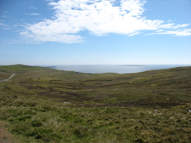
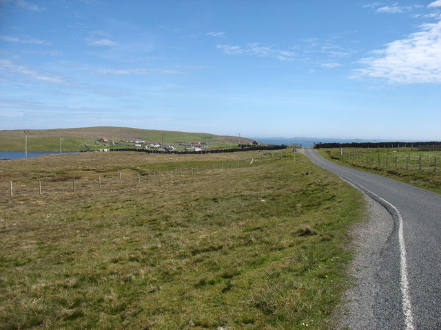
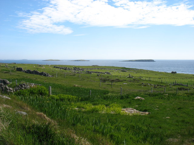
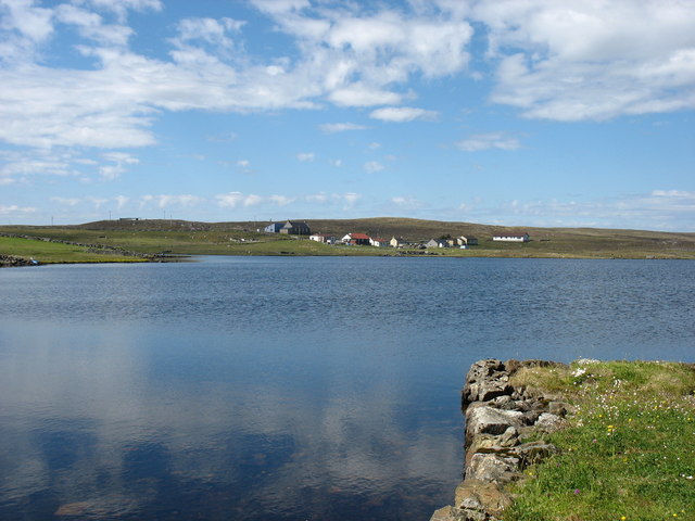
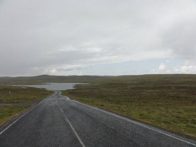
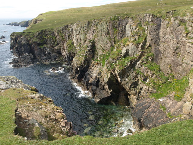
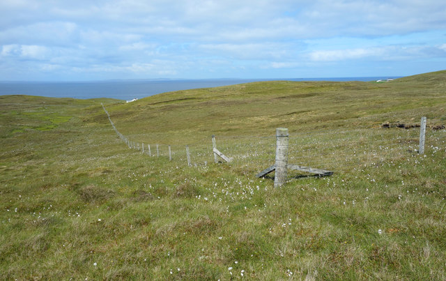
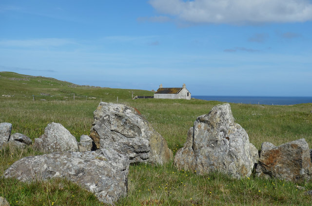
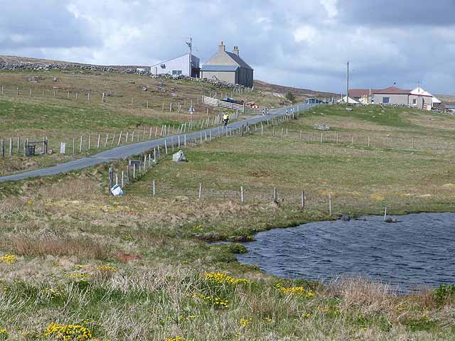
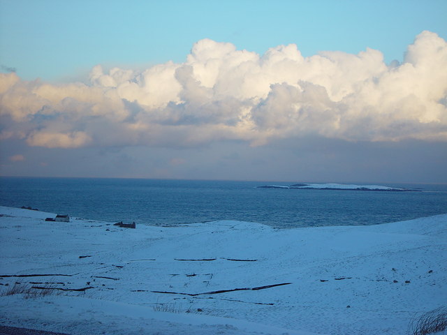
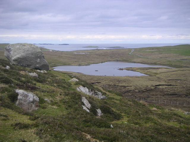
Wick of Nisthouse is a picturesque bay located in the Shetland Islands, an archipelago off the northeastern coast of Scotland. Situated on the island of Mainland, Wick of Nisthouse is nestled between the villages of Sandwick and Hoswick, offering stunning views of the North Sea.
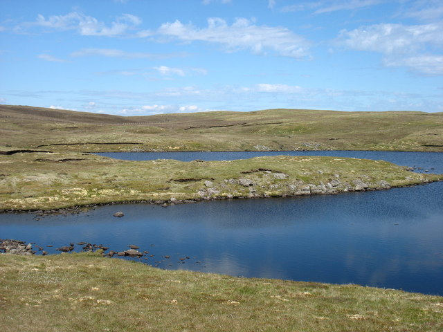
The bay is known for its pristine sandy beach, which stretches for approximately 1.5 kilometers and is flanked by rugged cliffs on either side. The beach is a popular destination for locals and tourists alike, offering a serene and tranquil atmosphere. Visitors can enjoy long walks along the shore, taking in the breathtaking coastal scenery and observing the diverse wildlife that inhabits the area.
The clear waters of Wick of Nisthouse also provide opportunities for various water activities such as swimming, kayaking, and paddleboarding. The bay's calm and sheltered nature makes it an ideal spot for beginners and families to enjoy these water sports.
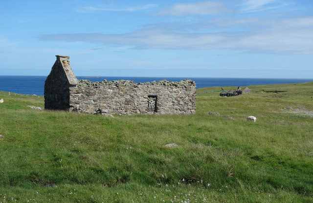
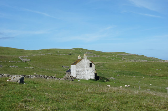
Adjacent to the beach is the historic Nisthouse, a traditional Shetland croft house that dates back to the 18th century. This well-preserved building offers visitors a glimpse into the island's past, showcasing the traditional way of life in Shetland.
Wick of Nisthouse is a place of natural beauty and tranquility, offering visitors a chance to escape the hustle and bustle of everyday life and immerse themselves in the stunning coastal landscape of the Shetland Islands.
If you have any feedback on the listing, please let us know in the comments section below.
Wick of Nisthouse Images
Images are sourced within 2km of 60.355137/-0.94782726 or Grid Reference HU5863. Thanks to Geograph Open Source API. All images are credited.


Wick of Nisthouse is located at Grid Ref: HU5863 (Lat: 60.355137, Lng: -0.94782726)
Unitary Authority: Shetland Islands
Police Authority: Highlands and Islands
What 3 Words
///richer.hologram.plea. Near Symbister, Shetland Islands
Nearby Locations
Related Wikis
Isbister, Shetland
Isbister is a settlement in eastern Whalsay in the parish of Nesting in the Shetland islands of Scotland. It lies on the eastern side of Loch of Isbister...

Loch of Isbister
Loch of Isbister is a loch of Whalsay, Shetland Islands, Scotland, located on the northern side of Isbister on the eastern side of the island. == References ==
Treawick
Treawick, also Traewick, is an uninhabited crofting village in eastern Whalsay in the parish of Nesting in the Shetland Islands of Scotland. It is located...
Nuckro Water
Nuckro Water is a loch of southeastern Whalsay, Shetland Islands, Scotland. It is located to the east of the Loch of Stanefield, northwest of Treawick...

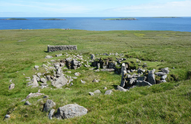
Benie Hoose
Benie Hoose, also Bunyie Hoose, is a Neolithic site in the parish of Nesting, northeastern Whalsay, in the Shetland Islands of Scotland. It is located...

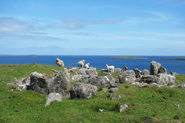
Standing Stones of Yoxie
The Standing Stones of Yoxie is a Neolithic site in the parish of Nesting on the northeastern coast of Whalsay, in the Shetland islands of Scotland. It...
Pettigarths Field Cairns
The Pettigarths Field Cairns is a Neolithic site in the parish of Nesting, northeastern Whalsay, in the Shetland islands of Scotland. It is located approximately...
Falsa Burn
Falsa Burn is a burn (stream) of southeastern Whalsay, Shetland Islands, Scotland. Roughly 600 metres (2,000 ft) in length, it ends near the sea to the...
Nearby Amenities
Located within 500m of 60.355137,-0.94782726Have you been to Wick of Nisthouse?
Leave your review of Wick of Nisthouse below (or comments, questions and feedback).