The Clett
Coastal Feature, Headland, Point in Shetland
Scotland
The Clett
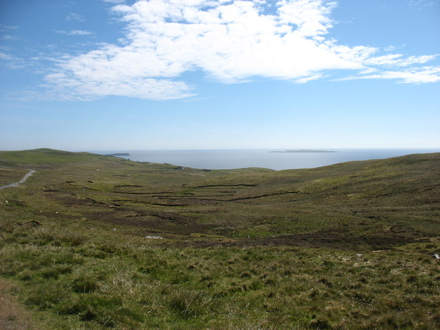
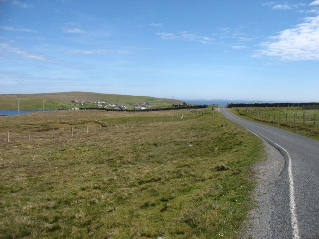
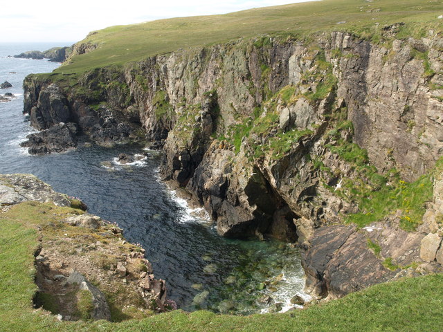
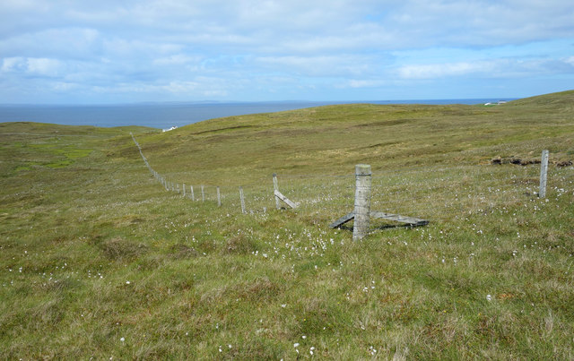
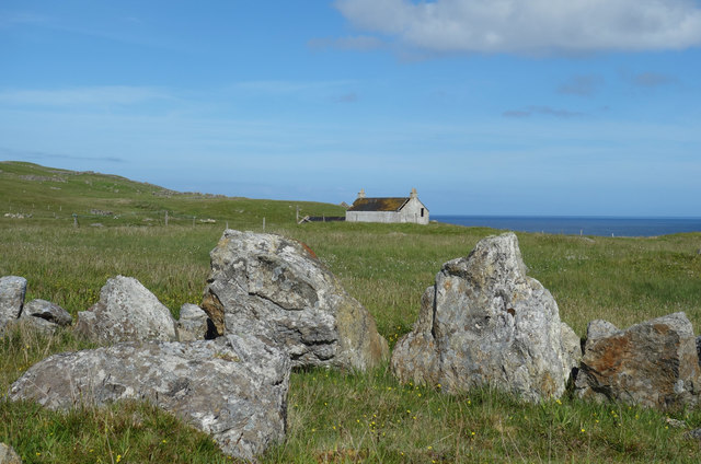
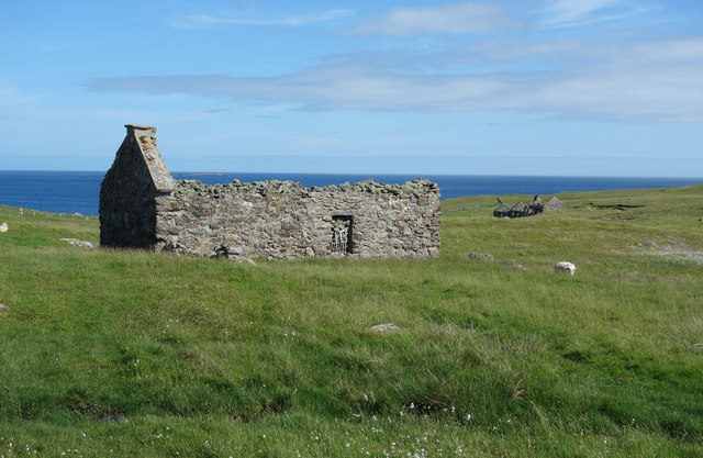
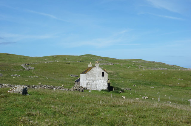
The Clett is a prominent coastal feature located on the Shetland Islands, an archipelago in Scotland. It is specifically situated on the west coast of the mainland, near the village of Walls. The Clett is classified as a headland, also commonly referred to as a point, due to its distinct geographical formation.
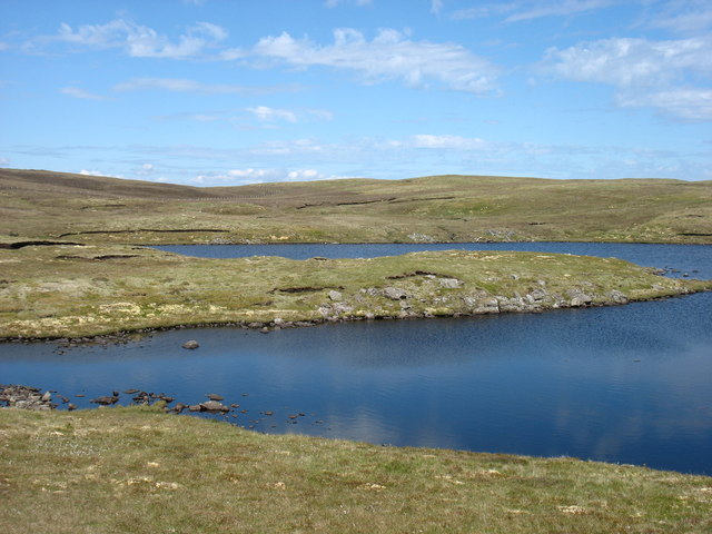
This coastal feature stands out due to its rugged and rocky landscape. The Clett is characterized by steep cliffs that rise dramatically from the surrounding waters, reaching heights of up to 100 meters. These cliffs are composed of layers of ancient sedimentary rock, displaying various shades of gray and brown.
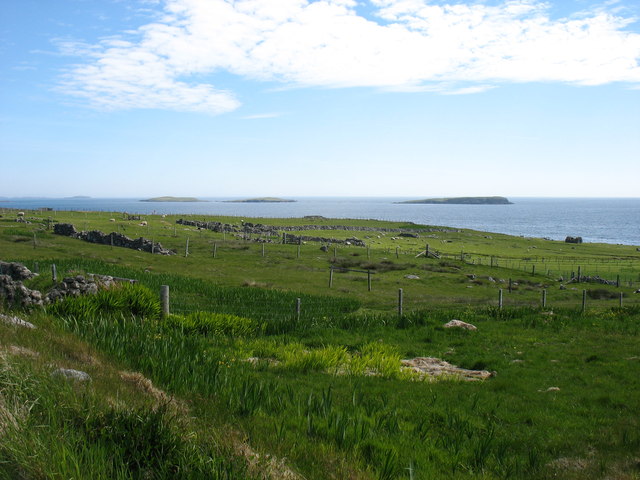
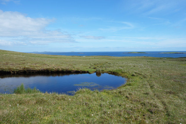
At the top of The Clett, visitors can appreciate panoramic views of the surrounding coastline, the North Atlantic Ocean, and nearby islands. The headland offers a unique vantage point for observing the diverse marine life that inhabits the area, including seabirds, seals, and occasionally, whales or dolphins. The crashing waves against the cliffs create a mesmerizing spectacle, especially during stormy weather.
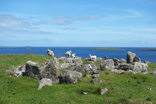
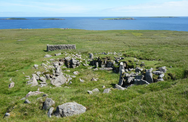
In addition to its natural beauty, The Clett holds historical significance. It is believed that the site was once used as a lookout point by the island's inhabitants, providing a strategic position for monitoring the waters and protecting against potential invasions. Ancient ruins of stone structures, possibly defensive in nature, can still be found in the vicinity.
Overall, The Clett serves as an iconic coastal feature, attracting both locals and tourists with its stunning views, geological formations, and historical remnants.
If you have any feedback on the listing, please let us know in the comments section below.
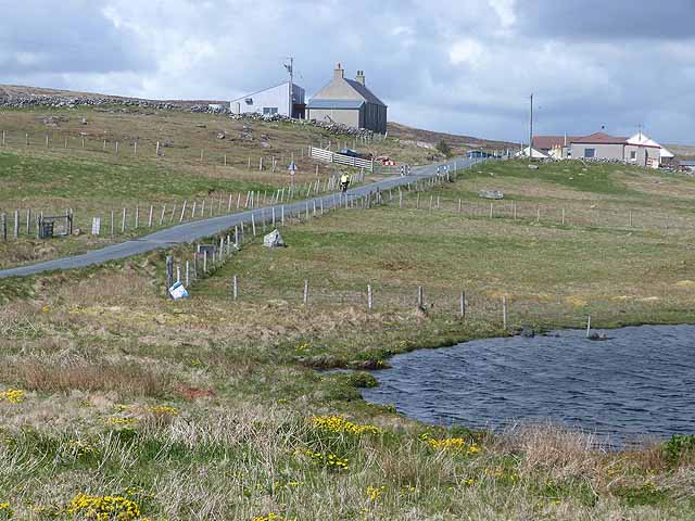
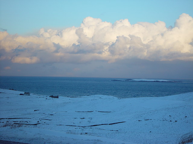
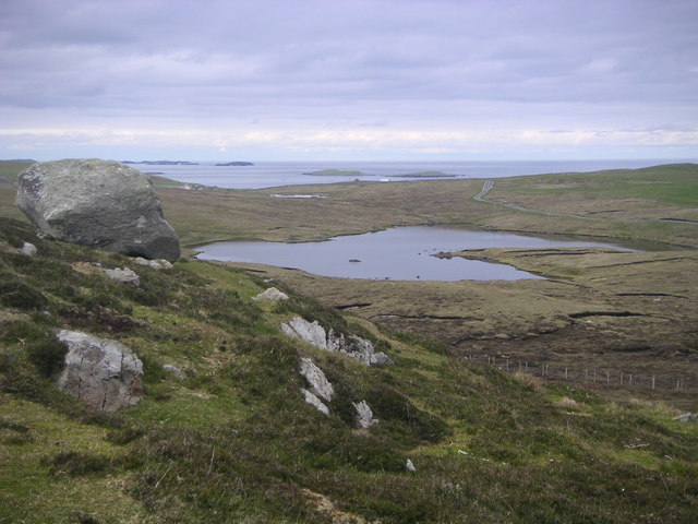
The Clett Images
Images are sourced within 2km of 60.354428/-0.94901 or Grid Reference HU5863. Thanks to Geograph Open Source API. All images are credited.


The Clett is located at Grid Ref: HU5863 (Lat: 60.354428, Lng: -0.94901)
Unitary Authority: Shetland Islands
Police Authority: Highlands and Islands
What 3 Words
///slugs.voting.slowness. Near Symbister, Shetland Islands
Nearby Locations
Related Wikis
Isbister, Shetland
Isbister is a settlement in eastern Whalsay in the parish of Nesting in the Shetland islands of Scotland. It lies on the eastern side of Loch of Isbister...

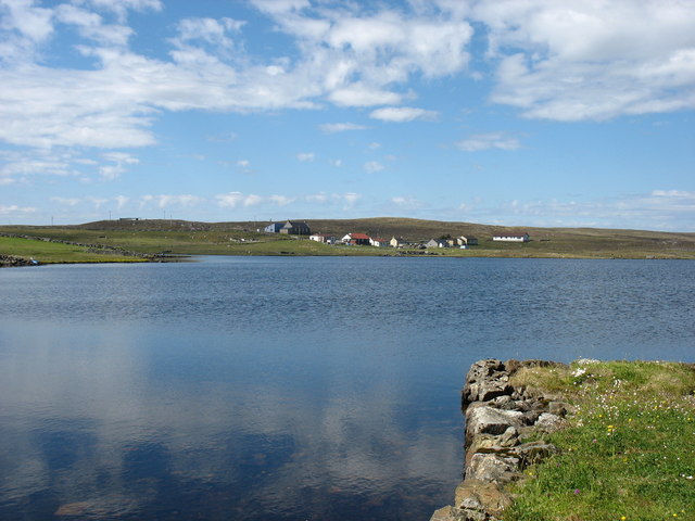
Loch of Isbister
Loch of Isbister is a loch of Whalsay, Shetland Islands, Scotland, located on the northern side of Isbister on the eastern side of the island. == References ==
Treawick
Treawick, also Traewick, is an uninhabited crofting village in eastern Whalsay in the parish of Nesting in the Shetland Islands of Scotland. It is located...
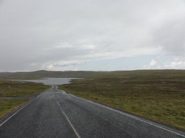
Nuckro Water
Nuckro Water is a loch of southeastern Whalsay, Shetland Islands, Scotland. It is located to the east of the Loch of Stanefield, northwest of Treawick...

Benie Hoose
Benie Hoose, also Bunyie Hoose, is a Neolithic site in the parish of Nesting, northeastern Whalsay, in the Shetland Islands of Scotland. It is located...
Falsa Burn
Falsa Burn is a burn (stream) of southeastern Whalsay, Shetland Islands, Scotland. Roughly 600 metres (2,000 ft) in length, it ends near the sea to the...

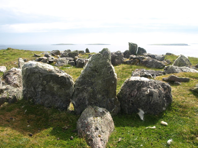
Standing Stones of Yoxie
The Standing Stones of Yoxie is a Neolithic site in the parish of Nesting on the northeastern coast of Whalsay, in the Shetland islands of Scotland. It...
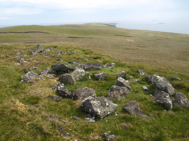
Pettigarths Field Cairns
The Pettigarths Field Cairns is a Neolithic site in the parish of Nesting, northeastern Whalsay, in the Shetland islands of Scotland. It is located approximately...
Nearby Amenities
Located within 500m of 60.354428,-0.94901Have you been to The Clett?
Leave your review of The Clett below (or comments, questions and feedback).