Sel Ayre
Coastal Marsh, Saltings in Shetland
Scotland
Sel Ayre
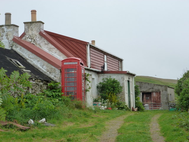
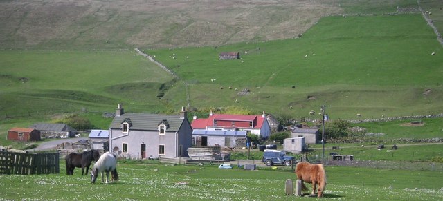
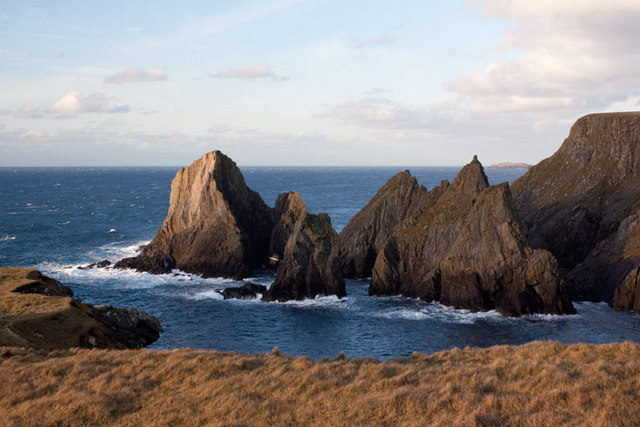
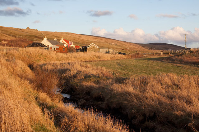
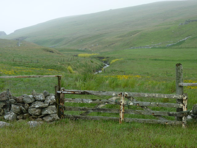
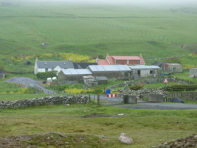
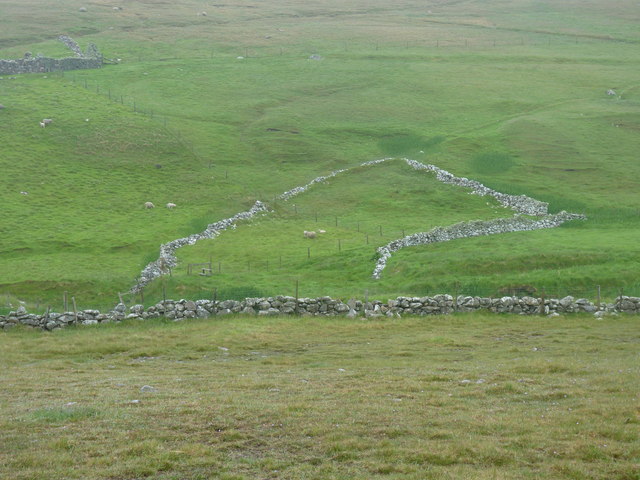
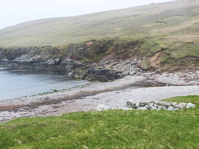
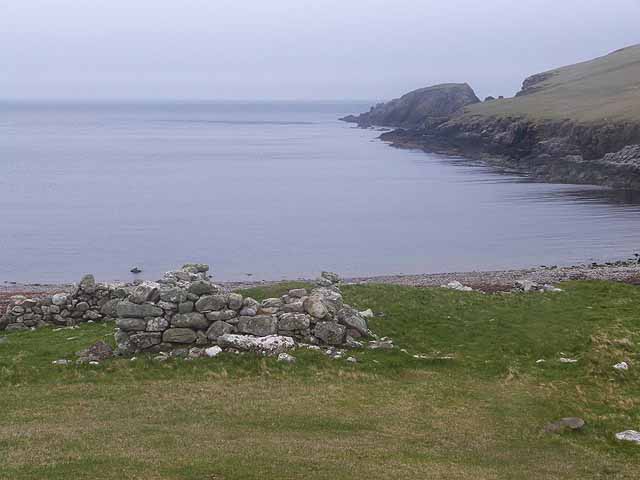
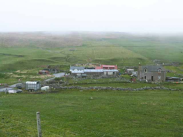
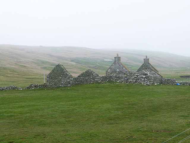
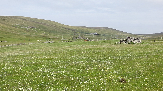
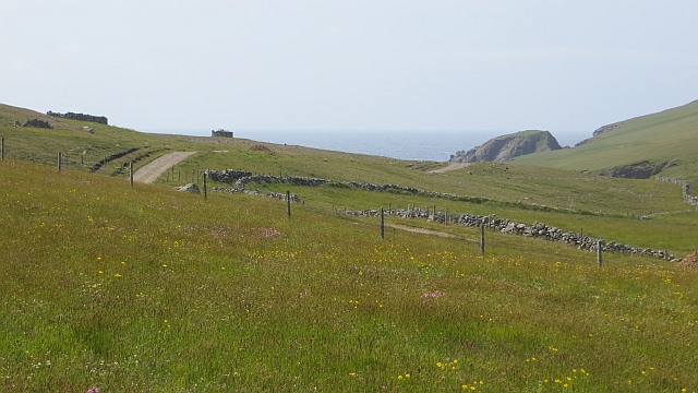
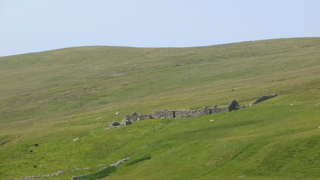
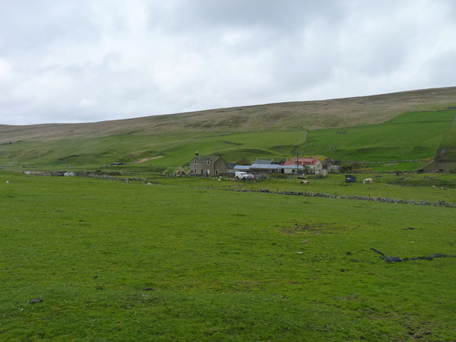
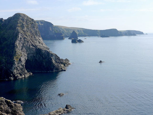
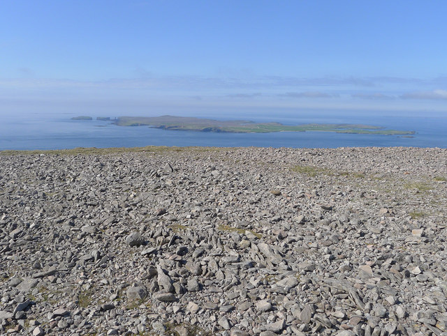
Sel Ayre is a coastal marsh located in Shetland, Scotland. It is situated along the coastline of the North Atlantic Ocean and is known for its distinctive saltings, which are areas of land that are regularly flooded by the tides. The marsh is a significant natural habitat and is protected as a Site of Special Scientific Interest (SSSI) due to its unique ecological characteristics.
The marsh is primarily composed of salt-tolerant vegetation, such as saltmarsh grasses, sea lavender, and sea aster, which thrive in the brackish conditions created by the tides. These plants provide essential habitat and food sources for a variety of bird species, including wading birds like curlews, redshanks, and oystercatchers, as well as migratory birds that visit the area during the breeding season.
The marsh is also an important feeding ground for several species of marine life, including fish and crustaceans, which are attracted to the nutrient-rich waters. It acts as a nursery for many commercially important fish species, contributing to the local fisheries industry.
In addition to its ecological significance, Sel Ayre is a popular destination for nature enthusiasts and birdwatchers. Visitors can enjoy scenic walks along the marshland, observing the diverse range of bird species and other wildlife that inhabit the area. The marsh provides a tranquil and picturesque setting, offering stunning views of the surrounding coastline and the North Atlantic Ocean.
Overall, Sel Ayre is a valuable and unique coastal marsh, playing a vital role in supporting both the local ecosystem and the enjoyment of visitors to Shetland.
If you have any feedback on the listing, please let us know in the comments section below.
Sel Ayre Images
Images are sourced within 2km of 60.269192/-1.6858821 or Grid Reference HU1753. Thanks to Geograph Open Source API. All images are credited.

Sel Ayre is located at Grid Ref: HU1753 (Lat: 60.269192, Lng: -1.6858821)
Unitary Authority: Shetland Islands
Police Authority: Highlands and Islands
What 3 Words
///hiker.vocab.emerge. Near Walls, Shetland Islands
Nearby Locations
Related Wikis

Sandness
Sandness (the "d" is not pronounced locally) is a headland and district in the west of Shetland Mainland, Scotland. Sandness was a civil parish, which...

Papa Stour Airstrip
Papa Stour Airstrip is a small airstrip in the village of Biggings on the island of Papa Stour. Shetland, Scotland. == History == Papa Stour Airstrip opened...

Forewick Holm
Forewick Holm is a 1-hectare (2.5-acre) island in the Sound of Papa in the Shetland islands, Scotland. Located between Papa Stour and the Sandness peninsula...

Bousta
Bousta is a settlement on Mainland, in Shetland, Scotland. Bousta is situated in the parish of Walls and Sandness.Scott's Hawkweed is native to the pastures...
Have you been to Sel Ayre?
Leave your review of Sel Ayre below (or comments, questions and feedback).