Runkie Head
Coastal Feature, Headland, Point in Shetland
Scotland
Runkie Head

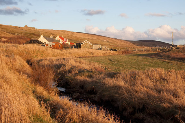
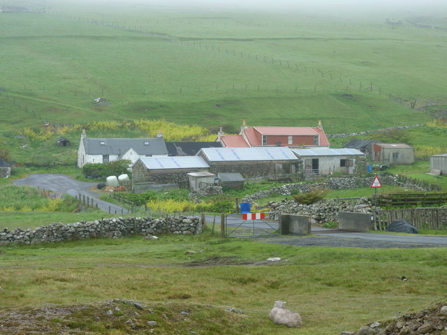
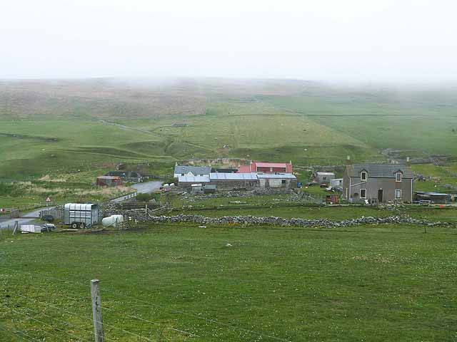
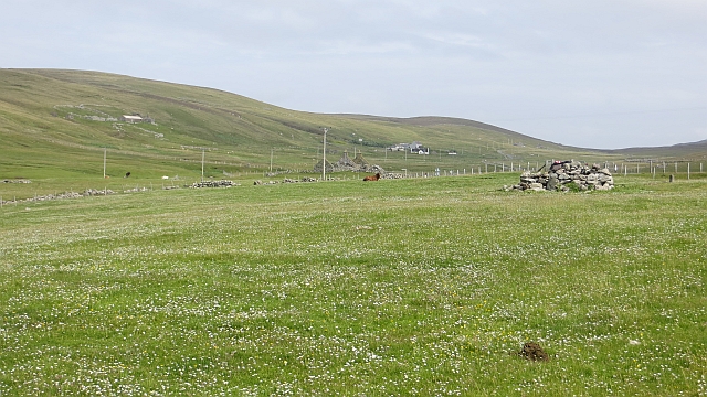
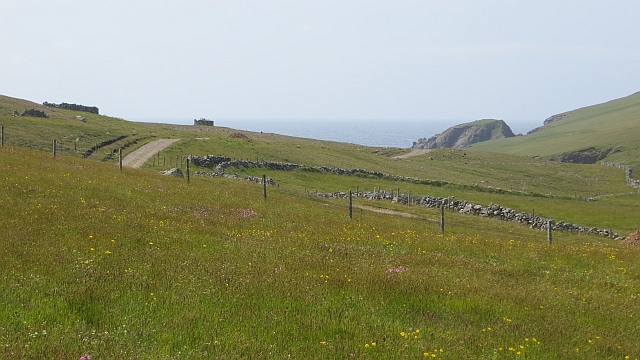
Runkie Head is a prominent coastal feature located in the Shetland Islands, an archipelago in Scotland. Situated on the east coast of the mainland, this headland juts out into the North Sea and offers breathtaking views of the surrounding landscape.
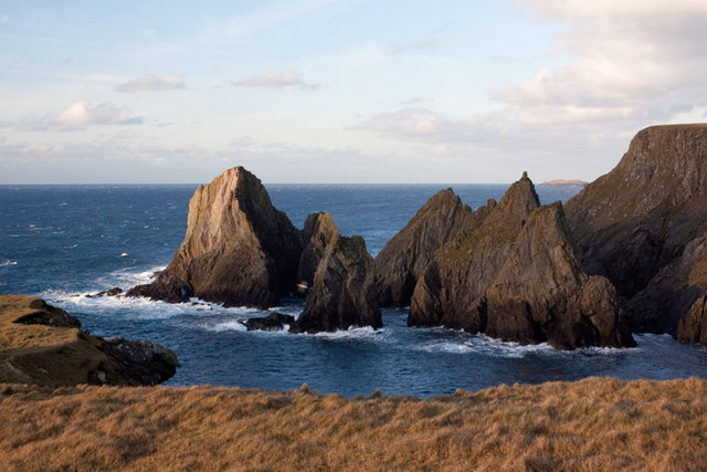
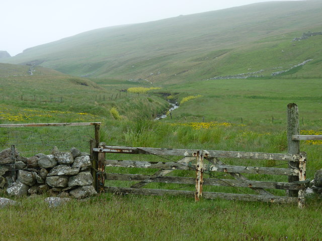
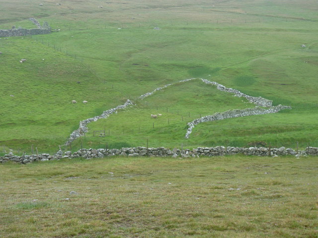
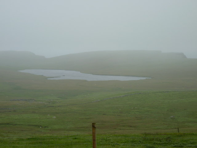
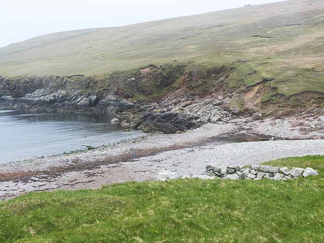
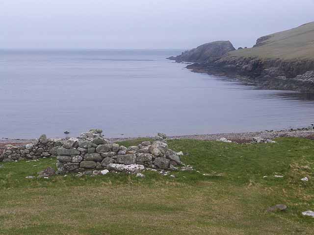
Runkie Head is characterized by its rugged cliffs, which rise steeply from the sea to heights of around 100 feet. These cliffs are composed of sandstone and shale, displaying layers of sedimentary rock that provide geological insight into the area's ancient history. The headland is also home to various sea caves and natural arches, formed by the relentless erosion of the waves over time.
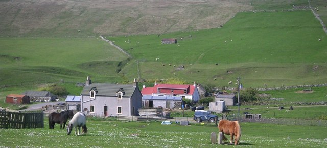
The headland is a popular spot for nature enthusiasts and avid hikers, as it offers several walking trails that lead to stunning viewpoints. The coastal path along Runkie Head provides visitors with the opportunity to observe a diverse range of seabirds, including puffins, kittiwakes, and guillemots, who nest on the cliffs during the breeding season.
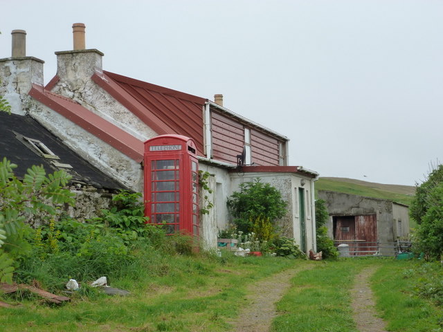
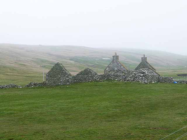
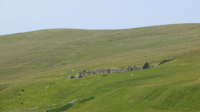
In addition to its natural beauty, Runkie Head holds historical significance. Near the headland, an Iron Age broch (a circular stone tower) can be found, serving as a testament to the island's ancient past. This broch is believed to have been a defensive structure or a symbol of status for the inhabitants of that era.
Overall, Runkie Head offers a captivating blend of natural splendor, geological wonders, and historical significance. Whether it's exploring the rugged cliffs, observing the vibrant birdlife, or delving into the island's ancient past, this coastal feature is a must-visit destination for anyone seeking to immerse themselves in the beauty and history of the Shetland Islands.
If you have any feedback on the listing, please let us know in the comments section below.
Runkie Head Images
Images are sourced within 2km of 60.261238/-1.6899157 or Grid Reference HU1753. Thanks to Geograph Open Source API. All images are credited.

Runkie Head is located at Grid Ref: HU1753 (Lat: 60.261238, Lng: -1.6899157)
Unitary Authority: Shetland Islands
Police Authority: Highlands and Islands
What 3 Words
///forgives.dumps.goose. Near Walls, Shetland Islands
Nearby Locations
Related Wikis

Sandness
Sandness (the "d" is not pronounced locally) is a headland and district in the west of Shetland Mainland, Scotland. Sandness was a civil parish, which...

Papa Stour Airstrip
Papa Stour Airstrip is a small airstrip in the village of Biggings on the island of Papa Stour. Shetland, Scotland. == History == Papa Stour Airstrip opened...

Forewick Holm
Forewick Holm is a 1-hectare (2.5-acre) island in the Sound of Papa in the Shetland islands, Scotland. Located between Papa Stour and the Sandness peninsula...

Bousta
Bousta is a settlement on Mainland, in Shetland, Scotland. Bousta is situated in the parish of Walls and Sandness.Scott's Hawkweed is native to the pastures...
Burrastow
Burrastow is a location on the west shore of Vaila Sound near the village of Walls on the Shetland Mainland, Scotland. There are two small piers and the...

Biggings
Biggings is a village on the island of Papa Stour, in Shetland, Scotland. Papa Stour's church is situated at the south of Biggings. A homestead of Duke...
Brei Holm
Brei Holm is a tiny tidal islet in the western Shetland Islands. It is due east of Papa Stour, to which it is connected at low tide, just outside Housa...

Walls, Shetland
Walls, known locally as Waas (Old Norse: Vagar = "Sheltered Bays" (voes) - the Ordnance Survey added the "ll" as they thought it was a corruption of "walls...
Nearby Amenities
Located within 500m of 60.261238,-1.6899157Have you been to Runkie Head?
Leave your review of Runkie Head below (or comments, questions and feedback).