Gale Bog
Coastal Marsh, Saltings in Cheshire
England
Gale Bog

Gale Bog is a coastal marsh and saltmarsh located in the county of Cheshire in England. Situated adjacent to the River Dee estuary, it forms part of the extensive saltmarshes that stretch along the coast. The bog is characterized by its diverse ecosystem and unique landscape.
Covering an area of approximately 500 acres, Gale Bog is mainly composed of salt-tolerant plants and grasses, including samphire, sea lavender, and saltmarsh grasses. These plants thrive in the salty and waterlogged conditions of the marsh, creating a rich habitat for various species of birds, insects, and small mammals.
The bog is an important breeding ground and a haven for many bird species, including wading birds such as avocets, redshanks, and curlews. These birds can be seen feeding on the mudflats and nesting in the tall grasses. Additionally, the marsh provides a wintering habitat for migratory birds, attracting species like teal, wigeon, and dunlin.
Apart from its ecological significance, Gale Bog also serves as a natural flood defense, absorbing excess water during high tides and storm events. The saltmarsh acts as a buffer zone, reducing the impact of coastal erosion and providing protection to the surrounding areas.
Gale Bog is accessible to visitors through designated footpaths and viewing platforms, allowing nature enthusiasts to observe the abundant wildlife and appreciate the unique beauty of this coastal marshland. It is a valuable resource for research and education, enabling studies on coastal ecosystems, bird migration, and saltmarsh conservation.
If you have any feedback on the listing, please let us know in the comments section below.
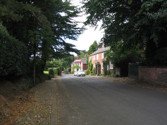
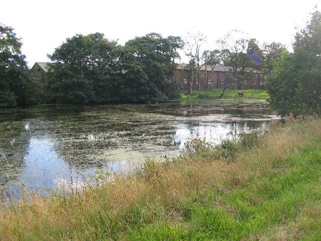
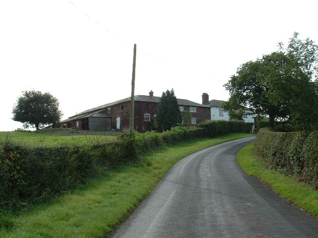
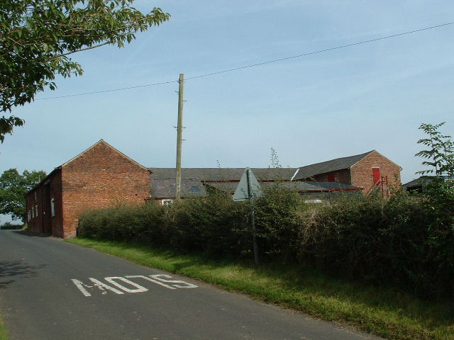
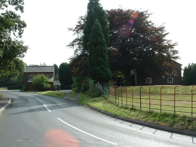
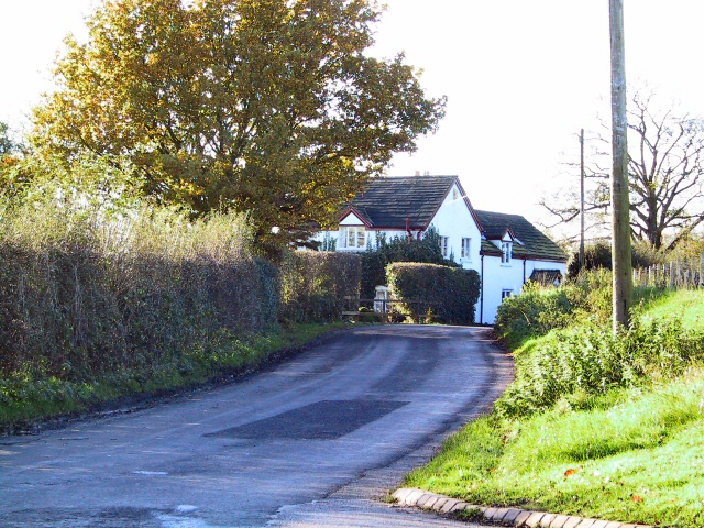
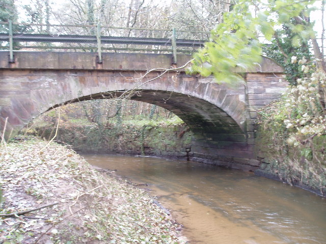
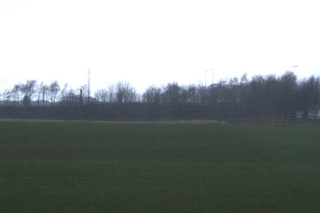
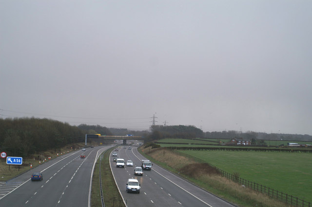
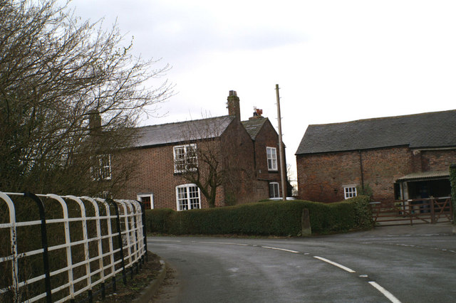
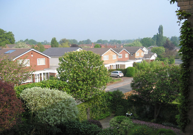
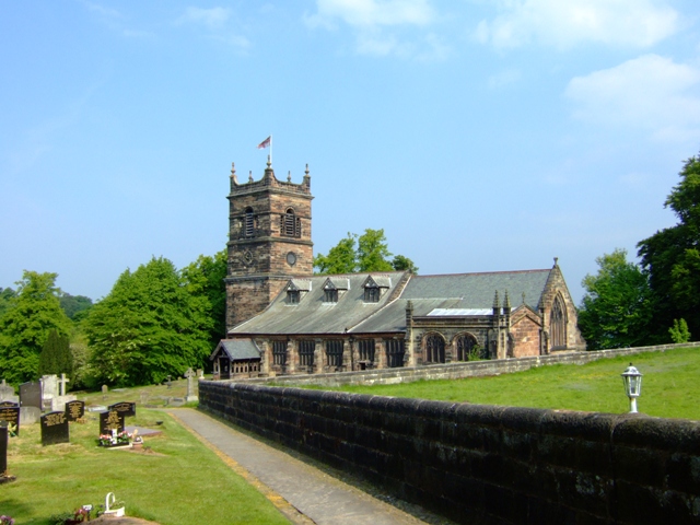
Gale Bog Images
Images are sourced within 2km of 53.356367/-2.3837144 or Grid Reference SJ7484. Thanks to Geograph Open Source API. All images are credited.


Gale Bog is located at Grid Ref: SJ7484 (Lat: 53.356367, Lng: -2.3837144)
Unitary Authority: Cheshire East
Police Authority: Cheshire
What 3 Words
///replenish.pepper.zeal. Near Bowdon, Manchester
Nearby Locations
Related Wikis

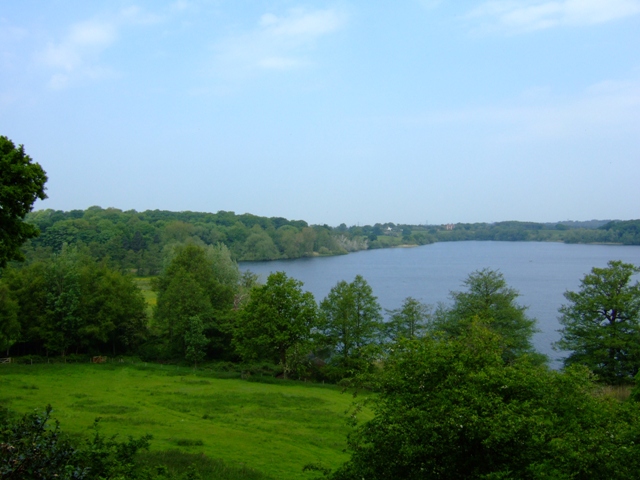
Rostherne Mere
Rostherne Mere is a natural lake in Cheshire, England. It is the largest of the Cheshire meres with an area of 48 hectares (120 acres) and a maximum depth...

Rostherne
Rostherne is a village and former civil parish, now in the parish of Millington and Rostherne, in the unitary authority area of Cheshire East and the ceremonial...
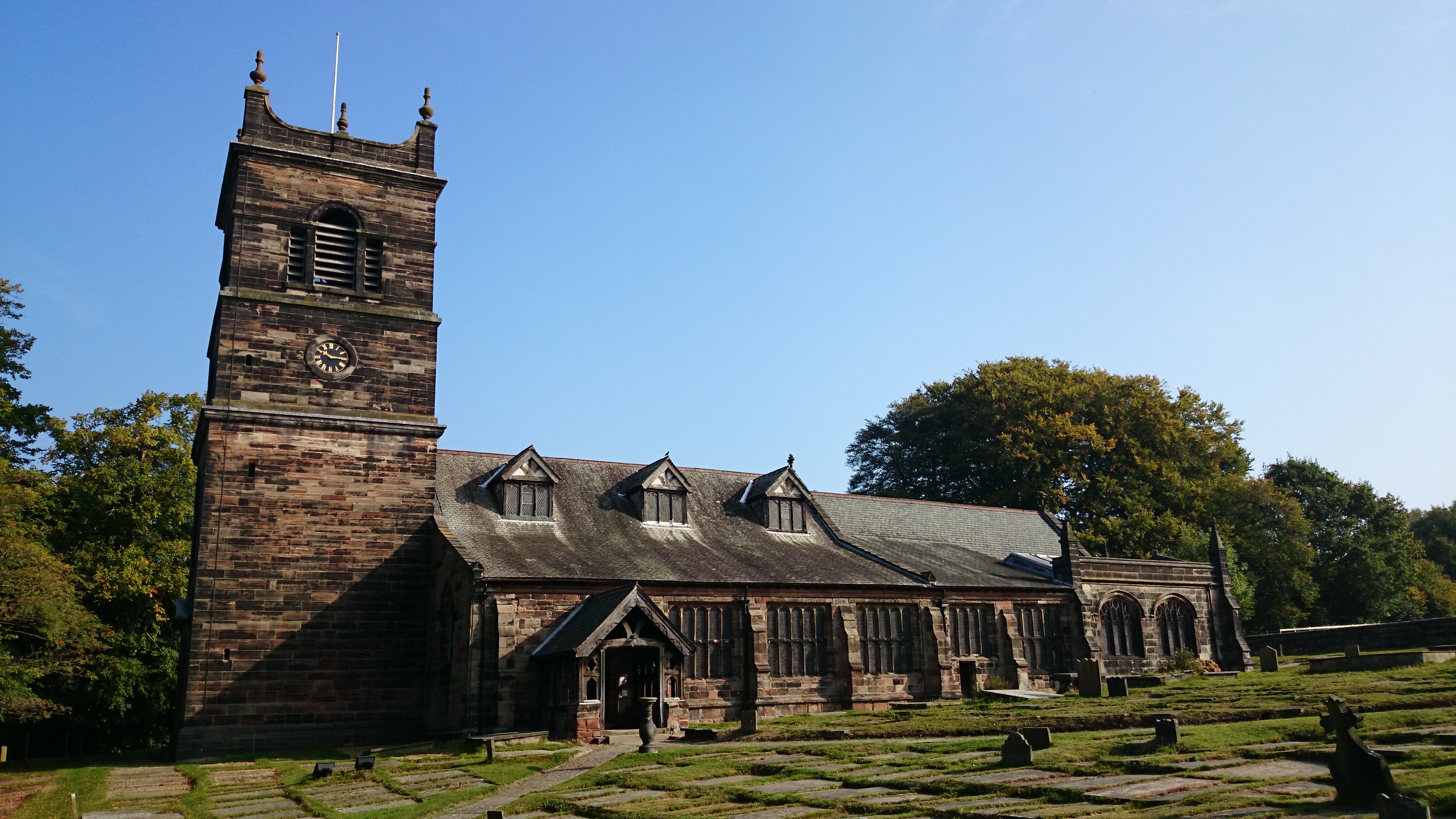
St Mary's Church, Rostherne
St Mary's Church lies between the village of Rostherne and Rostherne Mere in Cheshire, England. The church is recorded in the National Heritage List for...

Watch Hill Castle
Watch Hill Castle (also known as Yarwood Castle, Castle Hill, and Bowdon Watch) is a medieval motte-and-bailey on the boundary of Bowdon and Dunham Massey...

Millington, Cheshire
Millington is a former civil parish, now in the parishes of Millington and Rostherne and Little Bollington with Agden, in the Cheshire East district, in...

Bucklow Hill
Bucklow Hill is a village in Cheshire, England whose name originates from a slight rise in the road. It is part of the civil parish of Mere and is located...

Ashley Hall, Cheshire
Ashley Hall is a country house standing to the north of the village of Ashley, Cheshire, England. It dates from the late 16th to the early 17th century...

Mere, Cheshire
Mere is a civil parish and linear village along the old course of the A556 road in the unitary authority of Cheshire East and the ceremonial county of...
Nearby Amenities
Located within 500m of 53.356367,-2.3837144Have you been to Gale Bog?
Leave your review of Gale Bog below (or comments, questions and feedback).