Rostherne

Civil Parish in Cheshire

England

Rostherne

Home Farm, Tatton Park A working farm, open to the public as part of the National Trust's Tatton Park.
Home Farm, Tatton Park Credit: Rich Daley

Rostherne is a civil parish located in the county of Cheshire, England. Situated approximately 12 miles southwest of Manchester, the parish covers an area of around 4.5 square miles. Rostherne is surrounded by picturesque countryside, including the renowned Tatton Park estate to the east.

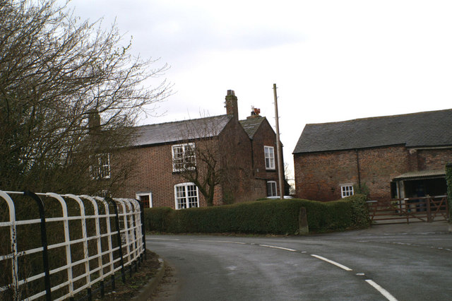
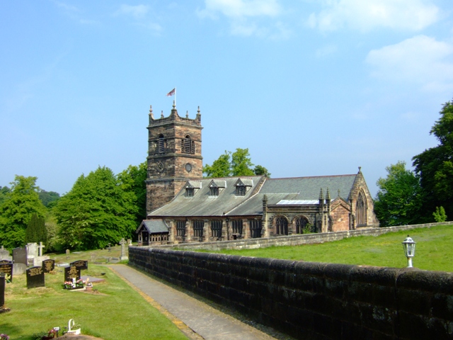
The village of Rostherne itself is small, with a population of just over 200 people. It is known for its quaint and traditional English charm, featuring a cluster of historic buildings, including a beautiful Norman church, St. Mary's, which dates back to the 13th century. The church boasts stunning stained glass windows and a peaceful churchyard, adding to the village's tranquil atmosphere.

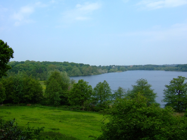
Beyond the village, Rostherne is dominated by acres of farmland and open fields, providing a haven for wildlife and nature enthusiasts. Its proximity to the Tatton Mere, a large lake within Tatton Park, also makes it a popular spot for birdwatching and leisurely walks.

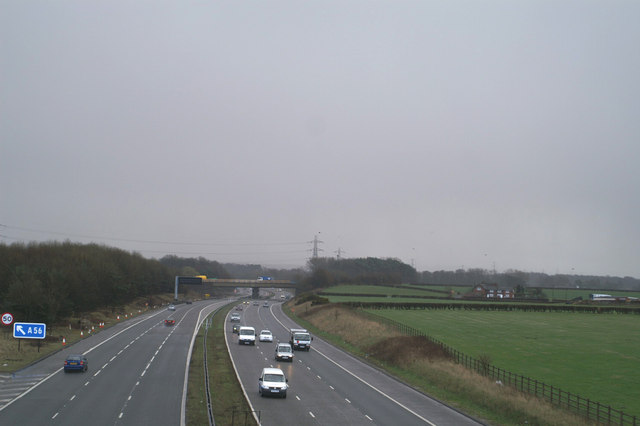
Rostherne offers a peaceful and idyllic living environment, away from the hustle and bustle of nearby urban areas. While amenities within the village are limited, nearby towns such as Knutsford and Altrincham provide a range of services, shops, and leisure facilities. Rostherne is well-connected, with easy access to major road networks, including the M6 and M56 motorways, making it an attractive location for commuters.

Overall, Rostherne is a charming and picturesque civil parish, offering a serene countryside lifestyle within easy reach of larger towns and cities.

If you have any feedback on the listing, please let us know in the comments section below.
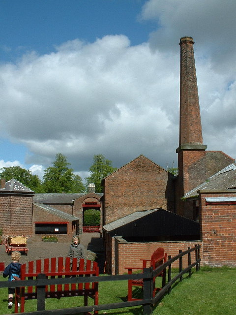
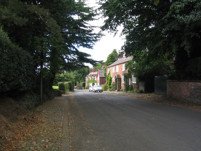
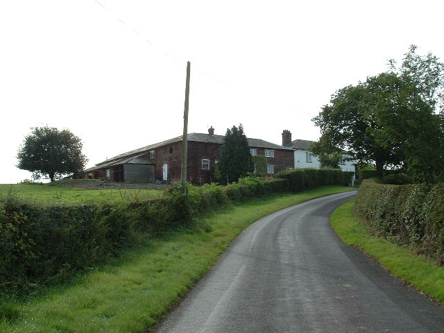
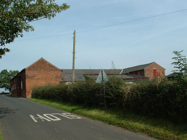
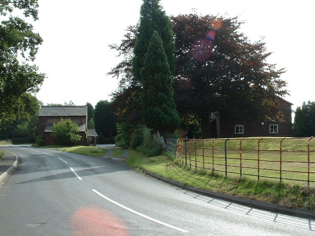
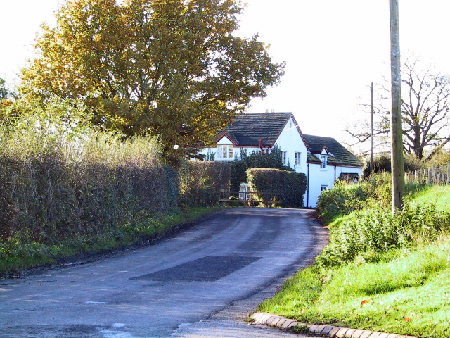
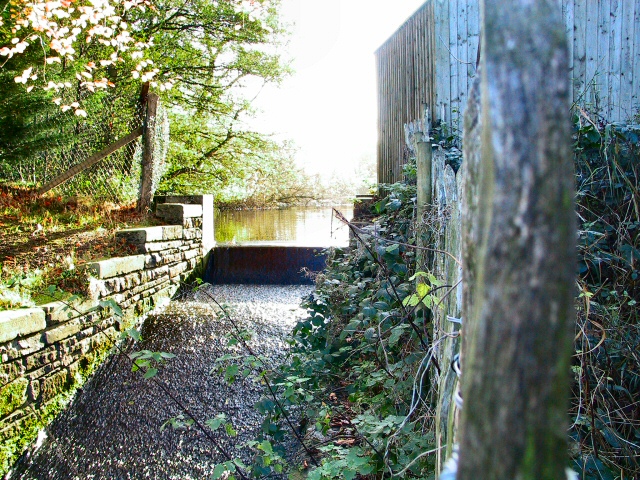
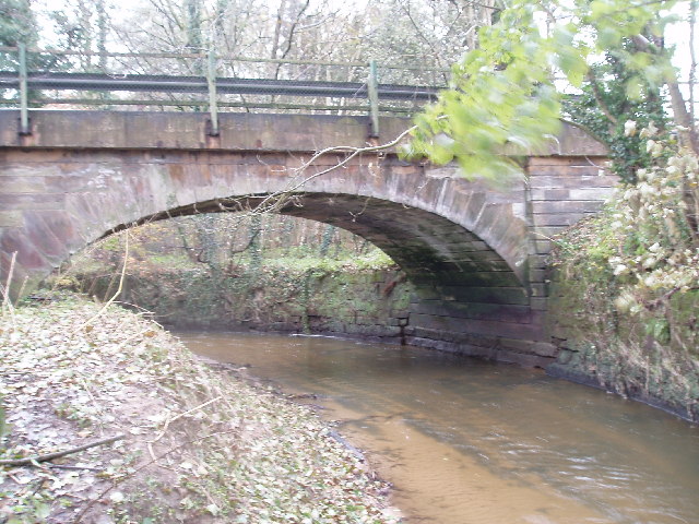
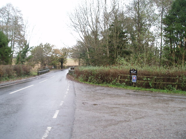
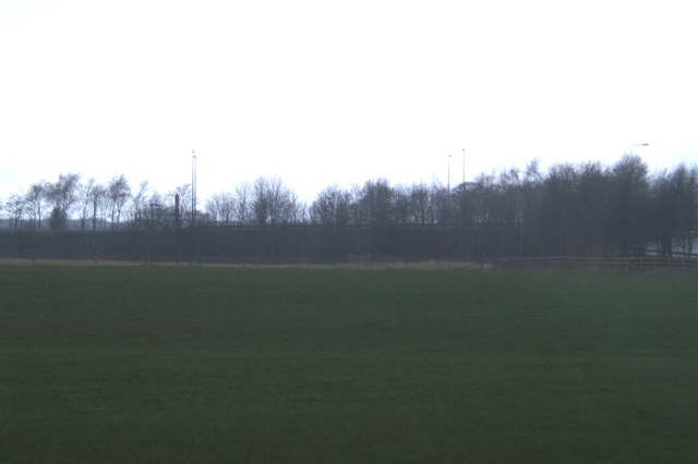
Rostherne Images

Images are sourced within 2km of 53.352423/-2.382401 or Grid Reference SJ7484. Thanks to Geograph Open Source API. All images are credited.

Home Farm, Tatton Park A working farm, open to the public as part of the National Trust's Tatton Park.
Home Farm, Tatton Park
A working farm, open to the public as part of the National Trust's Tatton Park.
Parish church of St. Mary This view of the church was taken from SJ742836 looking east.
Parish church of St. Mary
This view of the church was taken from SJ742836 looking east.
Rostherne village This image was taken looking Northish through the village of Rostherne, stood at SJ743833.
Rostherne village
This image was taken looking Northish through the village of Rostherne, stood at SJ743833.
Shaw Green Farm From the North
Shaw Green Farm
From the North
Rostherne Mere Looking South over the lake (note tower of Rostherne village church <a href="https://www.geograph.org.uk/gridref/SJ7483">SJ7483</a>visible on RHS)
Rostherne Mere
Looking South over the lake (note tower of Rostherne village church SJ7483visible on RHS)
Briddon Weir Farm Looking NW up the lane
Briddon Weir Farm
Looking NW up the lane
Birkin Farm Near the southern edge of the square
Birkin Farm
Near the southern edge of the square
Mereside Cottage Viewed from the gates of Cherrytree Farm on Dirty Lane, this cottage is on the corner of the lane where it joins the A556
Mereside Cottage
Viewed from the gates of Cherrytree Farm on Dirty Lane, this cottage is on the corner of the lane where it joins the A556
Fishing by Cicely Mill These meres were not in existence according to the 1940's OS map, and must have been artificially created in the interim. Bordering on Cicely Lane near Rostherne, they are a popular spot for anglers.
Fishing by Cicely Mill
These meres were not in existence according to the 1940's OS map, and must have been artificially created in the interim. Bordering on Cicely Lane near Rostherne, they are a popular spot for anglers.
Overflow At the north end of Little Mere, this runoff channel, or small weir, takes the overflow from the two meres under the A5034 and down the valley past Mere Farm to the fishing ponds at Cicely Mill.
Overflow
At the north end of Little Mere, this runoff channel, or small weir, takes the overflow from the two meres under the A5034 and down the valley past Mere Farm to the fishing ponds at Cicely Mill.
The Ashley road bridge over the Birkin Brook It looks more like a river here!! (Having been joined by the Tatton Mere Brook, Mobberley Brook & Sugar Brook all within SJ7638)
The Ashley road bridge over the Birkin Brook
It looks more like a river here!! (Having been joined by the Tatton Mere Brook, Mobberley Brook & Sugar Brook all within SJ7638)
Ashley road bridge (Over the Birkin Brook) Looking north towards Ashley , the turning to the right is to Birtles Farm
Ashley road bridge (Over the Birkin Brook)
Looking north towards Ashley , the turning to the right is to Birtles Farm
If the Romans could see it now The A560, Watling Street, raised on an embankment to clear the M56
If the Romans could see it now
The A560, Watling Street, raised on an embankment to clear the M56
Headlight code Wet and gloomy view eastwards on the M56
Headlight code
Wet and gloomy view eastwards on the M56
Bowgreen Farm, Bow Lane, Bowdon
Home Farm, Tatton Park This complex was originally steam powered and the National Trust installed a horizontal single cylinder engine that had come via a private collector from the Colne Vale Dye & Chemical Co, Milnsbridge. I saw it running there in 1980.
Home Farm, Tatton Park
This complex was originally steam powered and the National Trust installed a horizontal single cylinder engine that had come via a private collector from the Colne Vale Dye & Chemical Co, Milnsbridge. I saw it running there in 1980.
St Mary, Rostherne The parish church for the Tatton Estate village of Rostherne. The churchyard is slightly strange because all of the old memorials near to the church have been laid flat making it look a bit like a car park!
St Mary, Rostherne
The parish church for the Tatton Estate village of Rostherne. The churchyard is slightly strange because all of the old memorials near to the church have been laid flat making it look a bit like a car park!
Rostherne Mere National Nature Reserve The reserve is a mere with adjacent ancient semi-natural woodland. Access is by permit only.
Rostherne Mere National Nature Reserve
The reserve is a mere with adjacent ancient semi-natural woodland. Access is by permit only.
Show me another place!

Rostherne is located at Grid Ref: SJ7484 (Lat: 53.352423, Lng: -2.382401)

Unitary Authority: Cheshire East

Police Authority: Cheshire

What 3 Words

///plates.briefing.insisting. Near Bowdon, Manchester

Related Wikis

Rostherne

Rostherne is a village and former civil parish, now in the parish of Millington and Rostherne, in the unitary authority area of Cheshire East and the ceremonial...

Rostherne Mere

Rostherne Mere is a natural lake in Cheshire, England. It is the largest of the Cheshire meres with an area of 48 hectares (120 acres) and a maximum depth...

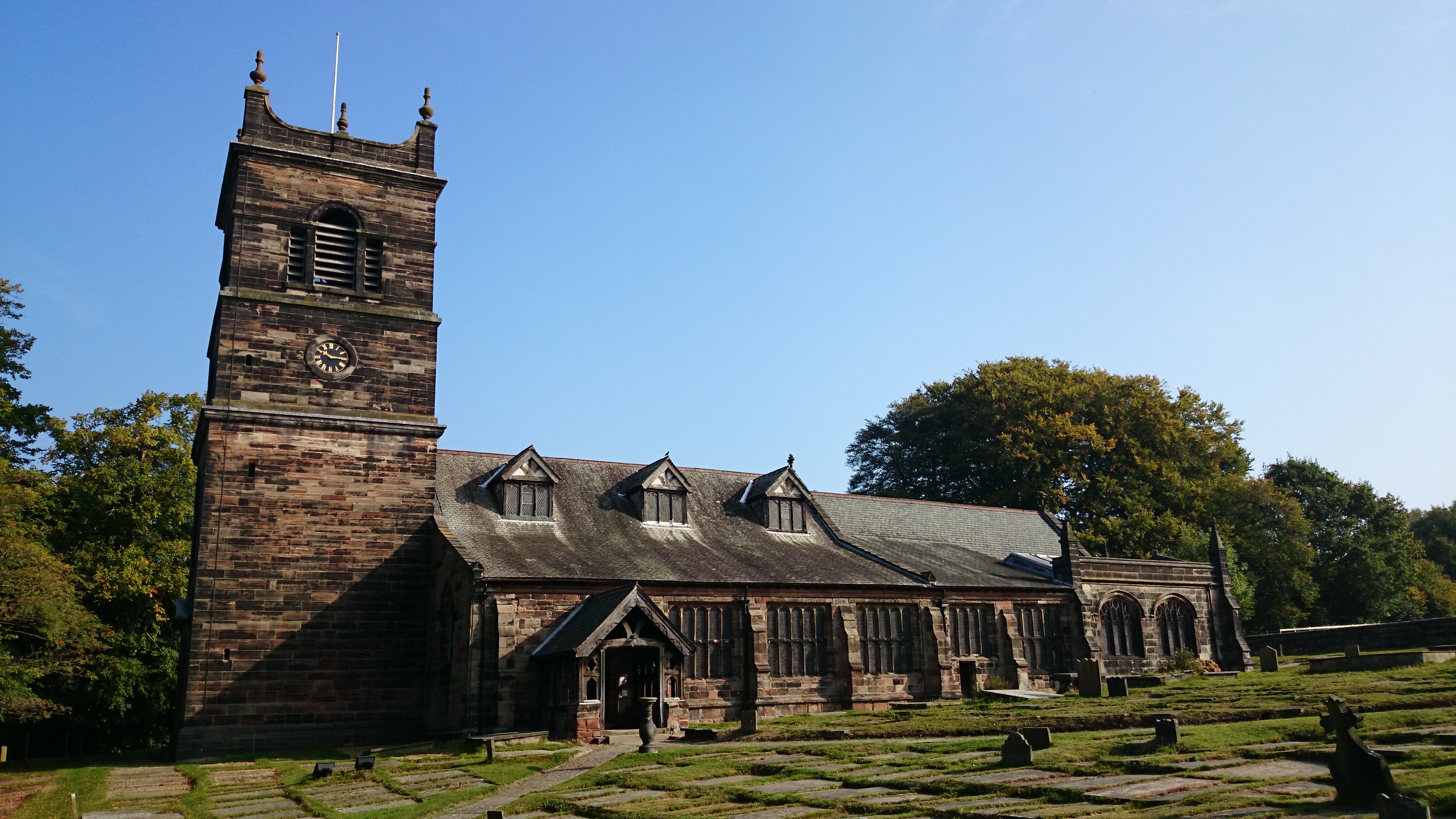
St Mary's Church, Rostherne

St Mary's Church lies between the village of Rostherne and Rostherne Mere in Cheshire, England. The church is recorded in the National Heritage List for...

Bucklow Hill

Bucklow Hill is a village in Cheshire, England whose name originates from a slight rise in the road. It is part of the civil parish of Mere and is located...

Nearby Amenities

Located within 500m of 53.352423,-2.382401
Economists Cricket Club
Club: sport
Sport: cricket
Website: https://economistscricketclub.net/
Lat/Long: 53.3484008/-2.3856998
The data included in this document is from www.openstreetmap.org. The data is made available under ODbL.

Have you been to Rostherne?

Leave your review of Rostherne below (or comments, questions and feedback).