Mere Covert
Wood, Forest in Cheshire
England
Mere Covert

Mere Covert is a picturesque woodland area located in Cheshire, England. Situated within the larger district of Mere, this dense forest is known for its natural beauty and serene ambiance. Covering an expansive area, Mere Covert offers a tranquil environment that attracts nature enthusiasts, hikers, and wildlife lovers from all around.
The woodland is characterized by its dense canopy of trees, primarily consisting of oak, beech, and birch. These towering trees provide shade and shelter to a diverse range of flora and fauna that call this forest home. The forest floor is adorned with a lush carpet of wildflowers, ferns, and mosses, creating a vibrant and enchanting atmosphere.
Mere Covert is crisscrossed by several walking trails that allow visitors to explore the forest at their own pace. These paths wind through the woods, offering glimpses of the local wildlife, including deer, squirrels, and various species of birds. The peacefulness of the surroundings makes it an ideal spot for birdwatching and nature photography.
During spring, the forest bursts into life with a riot of colors as bluebells and daffodils blanket the ground. Autumn brings a different kind of magic, with the changing foliage painting the forest in hues of gold, red, and orange. These seasonal transformations make Mere Covert a popular destination for those seeking solace in nature's beauty.
Overall, Mere Covert is a hidden gem nestled in the heart of Cheshire, offering a serene and captivating experience for all who venture into its peaceful woodland.
If you have any feedback on the listing, please let us know in the comments section below.
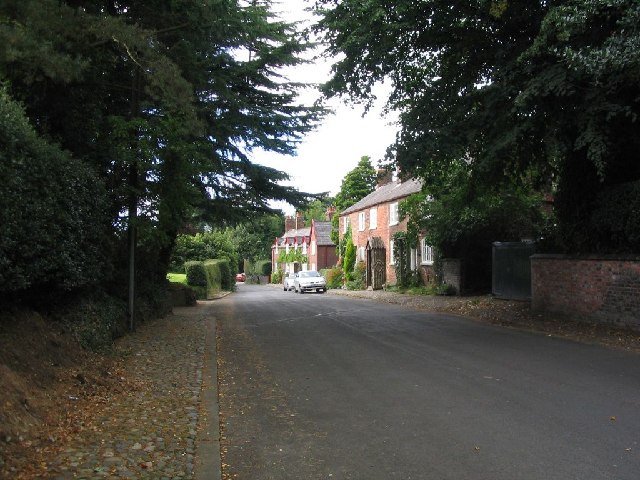
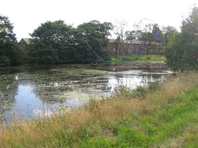
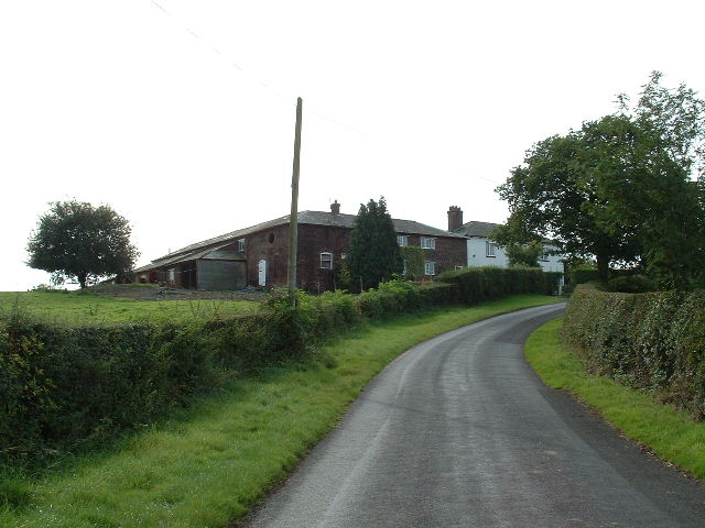
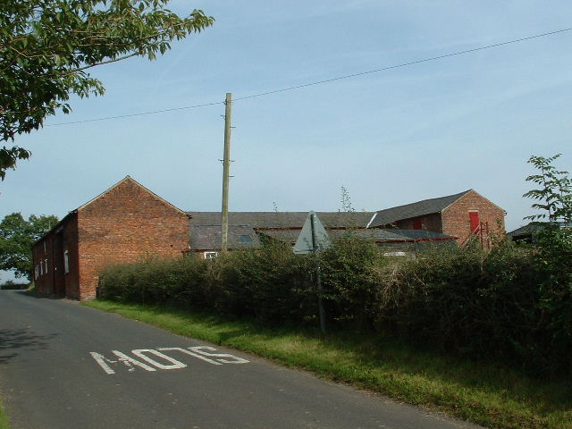
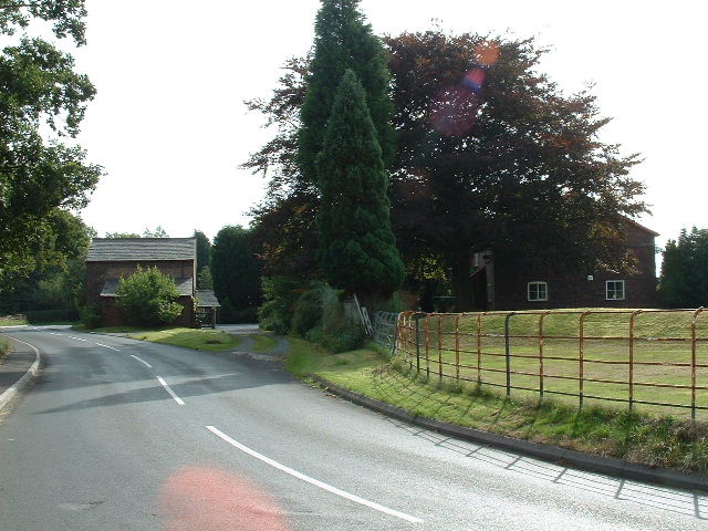
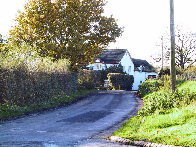
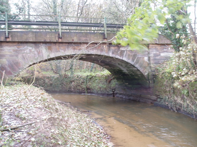
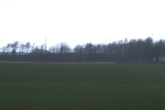
Mere Covert Images
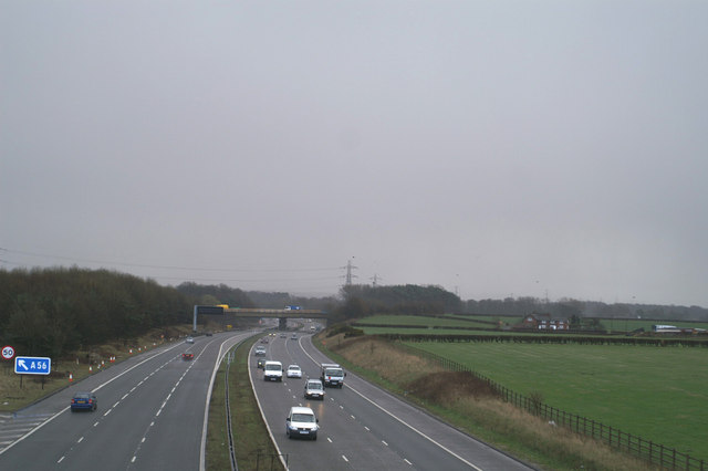
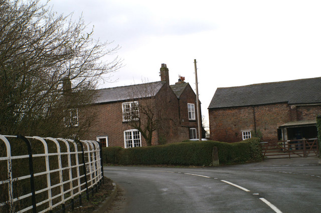
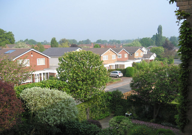
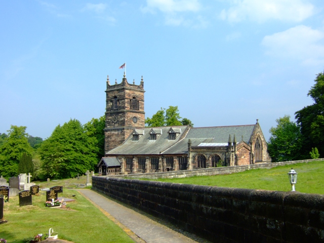
Images are sourced within 2km of 53.35613/-2.381729 or Grid Reference SJ7484. Thanks to Geograph Open Source API. All images are credited.


Mere Covert is located at Grid Ref: SJ7484 (Lat: 53.35613, Lng: -2.381729)
Unitary Authority: Cheshire East
Police Authority: Cheshire
What 3 Words
///blatantly.stammer.guard. Near Bowdon, Manchester
Nearby Locations
Related Wikis

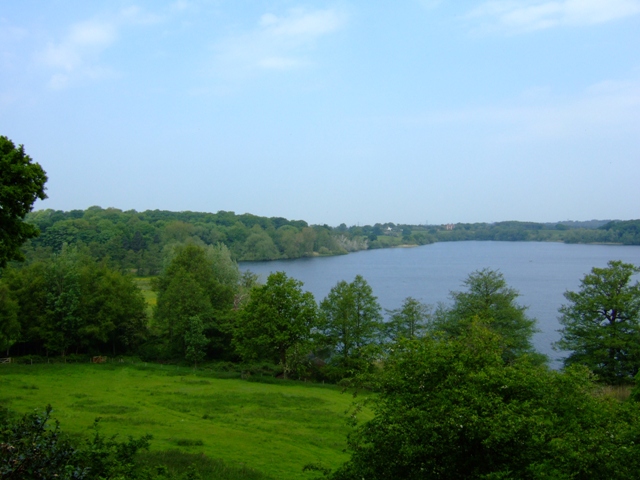
Rostherne Mere
Rostherne Mere is a natural lake in Cheshire, England. It is the largest of the Cheshire meres with an area of 48 hectares (120 acres) and a maximum depth...

Rostherne
Rostherne is a village and former civil parish, now in the parish of Millington and Rostherne, in the unitary authority area of Cheshire East and the ceremonial...
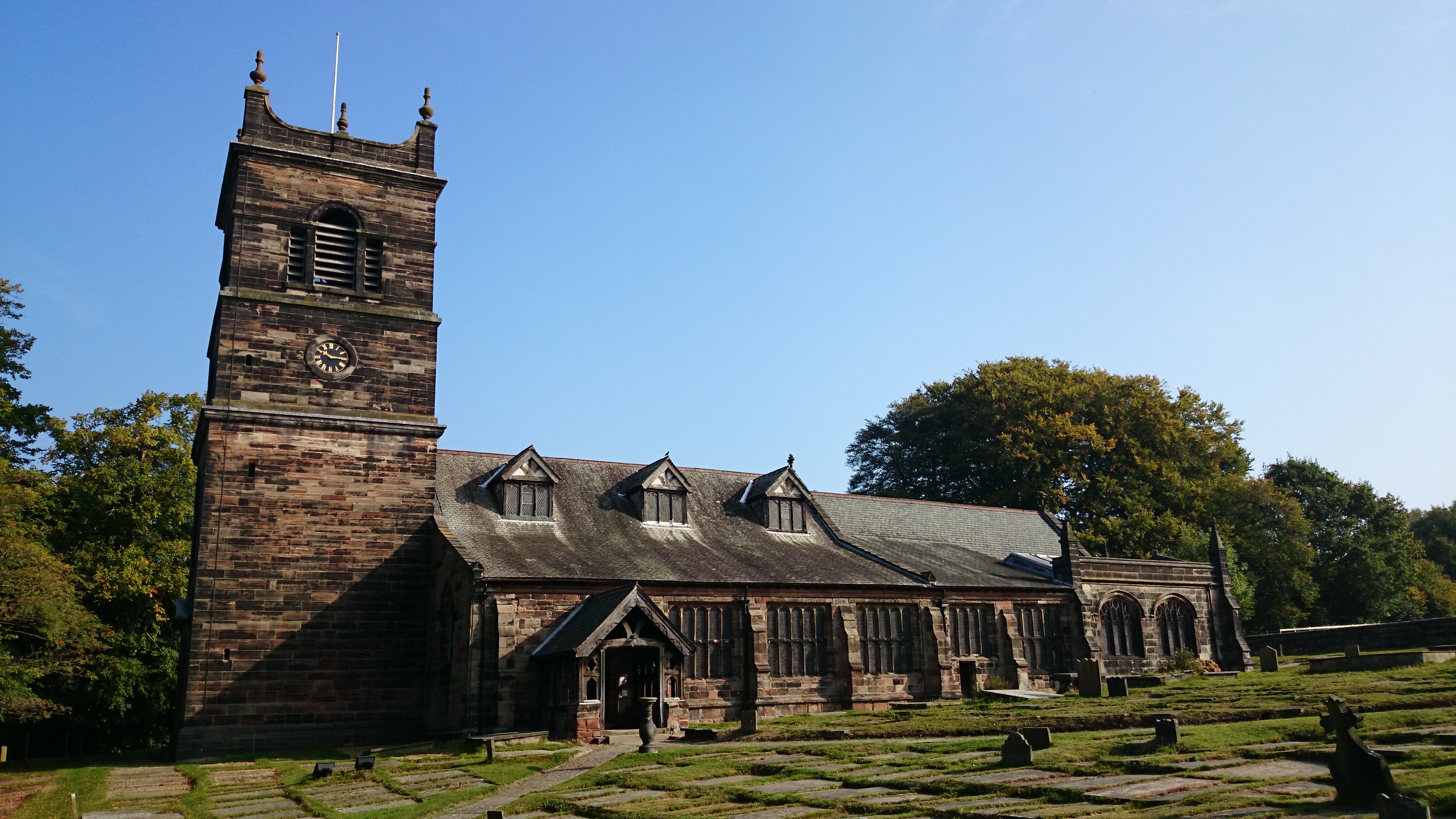
St Mary's Church, Rostherne
St Mary's Church lies between the village of Rostherne and Rostherne Mere in Cheshire, England. The church is recorded in the National Heritage List for...

Watch Hill Castle
Watch Hill Castle (also known as Yarwood Castle, Castle Hill, and Bowdon Watch) is a medieval motte-and-bailey on the boundary of Bowdon and Dunham Massey...

Millington, Cheshire
Millington is a former civil parish, now in the parishes of Millington and Rostherne and Little Bollington with Agden, in the Cheshire East district, in...

Bucklow Hill
Bucklow Hill is a village in Cheshire, England whose name originates from a slight rise in the road. It is part of the civil parish of Mere and is located...

Ashley Hall, Cheshire
Ashley Hall is a country house standing to the north of the village of Ashley, Cheshire, England. It dates from the late 16th to the early 17th century...

Bowdon Urban District
Bowdon Urban District is a former Urban District in Cheshire, based in the village of Bowdon. It was created in 1894 and abolished in 1974 when it was...
Nearby Amenities
Located within 500m of 53.35613,-2.381729Have you been to Mere Covert?
Leave your review of Mere Covert below (or comments, questions and feedback).