Manor Wood

Wood, Forest in Lancashire Ribble Valley

England

Manor Wood

Whalley Community Hydro, Whalley Weir, River Calder Whalley Community Hydro Electricity plant at Whalley Weir on the River Calder
Whalley Community Hydro, Whalley Weir, River Calder Credit: Richard Cook

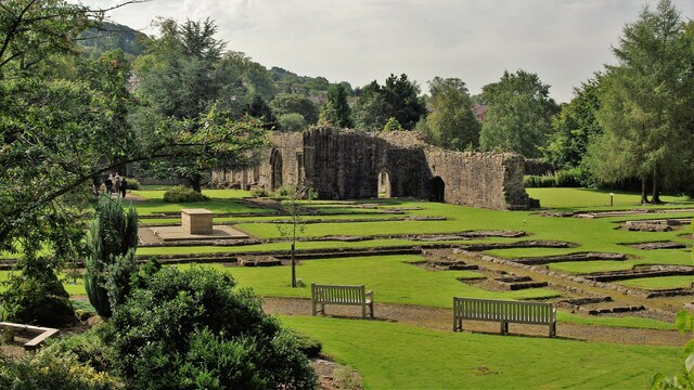
Manor Wood is a picturesque woodland located in the county of Lancashire, England. Situated near the village of Manor, the wood covers an area of approximately 50 acres, providing a tranquil escape for both locals and visitors alike.

This enchanting forest is known for its diverse range of trees, including oak, ash, and beech, which create a dense canopy overhead. The wood's floor is adorned with a rich carpet of bluebells, wildflowers, and ferns, adding to its natural beauty.

Manor Wood is a haven for wildlife, offering a habitat for a variety of species. Birdwatchers can spot a wide range of birds, such as woodpeckers, owls, and finches, while nature enthusiasts may encounter rabbits, squirrels, and even deer. The wood's peaceful atmosphere and abundant wildlife make it a popular spot for nature lovers and photographers.

For those seeking outdoor activities, Manor Wood offers several walking trails that meander through the forest, allowing visitors to explore its hidden treasures. The trails are well-maintained, making them suitable for all ages and abilities. Additionally, there are picnic areas and benches scattered throughout the wood, providing the perfect opportunity to relax and enjoy a picnic amidst the natural surroundings.

Overall, Manor Wood in Lancashire is a stunning woodland retreat that offers a serene escape from the bustling city life. With its diverse flora and fauna, well-marked trails, and peaceful atmosphere, it is a must-visit destination for anyone seeking a connection with nature.

If you have any feedback on the listing, please let us know in the comments section below.
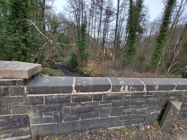
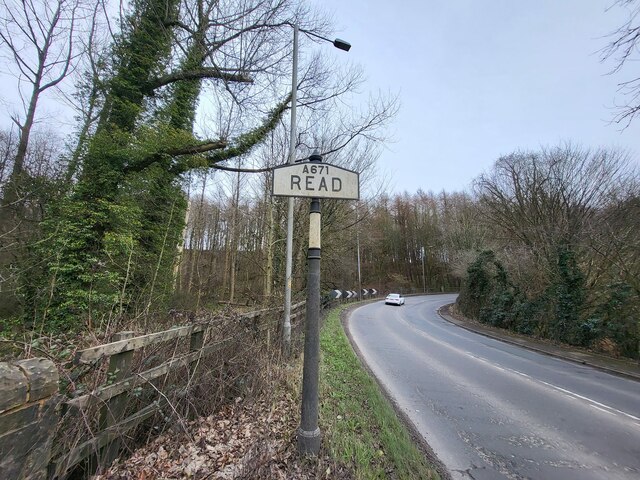
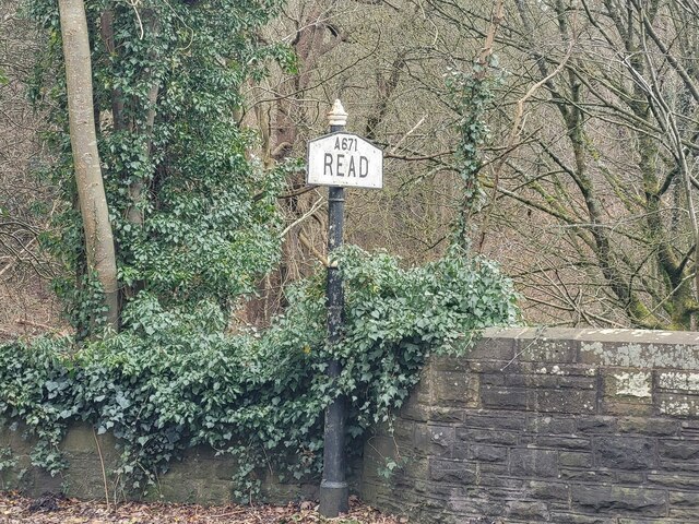
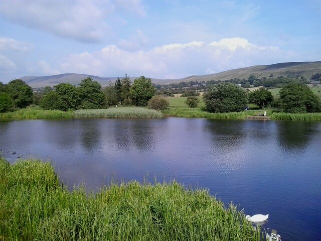
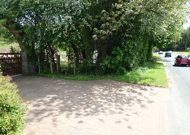
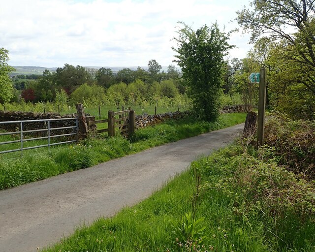
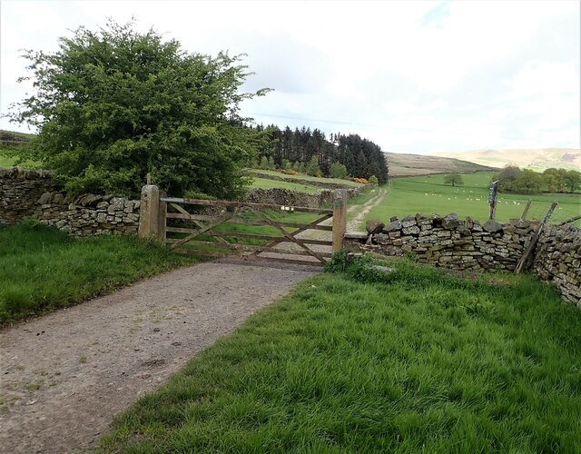
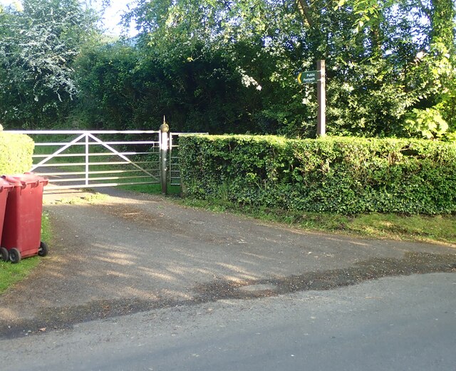
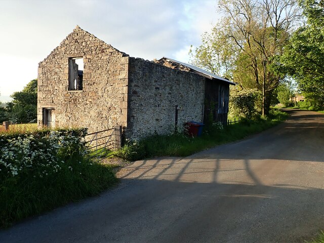
Manor Wood Images

Images are sourced within 2km of 53.827042/-2.3859391 or Grid Reference SD7436. Thanks to Geograph Open Source API. All images are credited.

Whalley Community Hydro, Whalley Weir, River Calder Whalley Community Hydro Electricity plant at Whalley Weir on the River Calder
Whalley Community Hydro, Whalley Weir, River Calder
Whalley Community Hydro Electricity plant at Whalley Weir on the River Calder
McDonald's on the Ribble Valley Enterprise Park near Clitheroe
Whalley Abbey Remains The east range of the cloisters with the reconstituted High Altar within the church foundations to the left in the view
Whalley Abbey Remains
The east range of the cloisters with the reconstituted High Altar within the church foundations to the left in the view
Whalley Railway Viaduct Viaduct north of the Abbey Gatehouse
Whalley Railway Viaduct
Viaduct north of the Abbey Gatehouse
Whalley Road at Barrow
Footbridge over Sabden Brook below Hodgeon Stone Plantation
Jeppe Knave Grave above Wiswell At the side of the depression there is a large stone with an inscription which says: JEPPE KNAVE GRAVE as well as a small incised cross; the cross was probably carved in the 1960s. According to legend, one Jeppe Curteys a highwayman was beheaded for his crimes in 1327; he was subsequently buried here at this solitary spot on the moor. The name "Knave" is usually taken to mean 'a wrong doer', but it could also be the Norse word for a boy, youth or servant. So this is much more likely to be an earlier prehistoric/Dark Age burial site - pre-dating the highwayman by a few thousand years. (source Megalithic portal)
Jeppe Knave Grave above Wiswell
At the side of the depression there is a large stone with an inscription which says: JEPPE KNAVE GRAVE as well as a small incised cross; the cross was probably carved in the 1960s. According to legend, one Jeppe Curteys a highwayman was beheaded for his crimes in 1327; he was subsequently buried here at this solitary spot on the moor. The name "Knave" is usually taken to mean 'a wrong doer', but it could also be the Norse word for a boy, youth or servant. So this is much more likely to be an earlier prehistoric/Dark Age burial site - pre-dating the highwayman by a few thousand years. (source Megalithic portal)
Trig Point on The Rough above Wiswell
Old Bridge Marker on the A671 Whalley Road Bridge Marker set in the parapet of Read New Bridge, Sabden Brook, next to boundary marker LA_BUCL06pb, on the north side of the A671 Whalley Road. On the boundary of Whalley and Read parishes.

Milestone Society National ID: LA_WHAREA01br
Old Bridge Marker on the A671 Whalley Road
Bridge Marker set in the parapet of Read New Bridge, Sabden Brook, next to boundary marker LA_BUCL06pb, on the north side of the A671 Whalley Road. On the boundary of Whalley and Read parishes. Milestone Society National ID: LA_WHAREA01br
Village Signpost on the A671 Whalley Road near Read New Bridge Located on the northeast side of the A671 Whalley Road at the east end of Read New Bridge in Read parish. 

Milestone Society National ID: LA_SD7434V
Village Signpost on the A671 Whalley Road near Read New Bridge
Located on the northeast side of the A671 Whalley Road at the east end of Read New Bridge in Read parish. Milestone Society National ID: LA_SD7434V
Village Signpost on the A671 Whalley Road on Read New Bridge Located on the southwest side of the A671 Whalley Road on Read New Bridge in Read parish. 

Milestone Society National ID: LA_SD7434W
Village Signpost on the A671 Whalley Road on Read New Bridge
Located on the southwest side of the A671 Whalley Road on Read New Bridge in Read parish. Milestone Society National ID: LA_SD7434W
Barrow Fish Pond View towards Pendle Hill from the fish pond by the A59 in Barrow
Barrow Fish Pond
View towards Pendle Hill from the fish pond by the A59 in Barrow
Stile Clitheroe Road Whalley The stile for the footpath opposite the Cemetery on Clitheroe Road Whalley.
Stile Clitheroe Road Whalley
The stile for the footpath opposite the Cemetery on Clitheroe Road Whalley.
Gate for path off Clerk Hill Road The gate for the footpath on Clerk Hill Road leading to Lower Clerk Hill and Hollins Farm.
Gate for path off Clerk Hill Road
The gate for the footpath on Clerk Hill Road leading to Lower Clerk Hill and Hollins Farm.
Gate on Clerk Hill Road The gateway just past Wiswell Moor Houses on Clerk Hill Road, a view of this gate from the opposite direction can be seen here - <a title="https://www.geograph.org.uk/photo/3358541" href="https://www.geograph.org.uk/photo/3358541">Link</a>.  Description regarding footpaths here -<a title="https://www.geograph.org.uk/photo/2266920" href="https://www.geograph.org.uk/photo/2266920">Link</a>
Gate on Clerk Hill Road
The gateway just past Wiswell Moor Houses on Clerk Hill Road, a view of this gate from the opposite direction can be seen here - Link. Description regarding footpaths here -Link
Footpath Parker Place Farm The entrance and footpath sign at Parker Place Farm off Pendleton Road.
Footpath Parker Place Farm
The entrance and footpath sign at Parker Place Farm off Pendleton Road.
Derelict Building The derelict building opposite the entrance to Wiswell Eaves Farm off Pendleton Road.
Derelict Building
The derelict building opposite the entrance to Wiswell Eaves Farm off Pendleton Road.
Whalley Abbey old gatehouse at night The gatehouse marks the western extent of the original abbey grounds. It is some way from the present abbey buildings and straddles the public road.  Illuminated inside at night, it is easier to see the ribbed roof construction than it is by day.

Listed grade 1 (list entry number 1362365).
Whalley Abbey old gatehouse at night
The gatehouse marks the western extent of the original abbey grounds. It is some way from the present abbey buildings and straddles the public road. Illuminated inside at night, it is easier to see the ribbed roof construction than it is by day. Listed grade 1 (list entry number 1362365).
Show me another place!

Manor Wood is located at Grid Ref: SD7436 (Lat: 53.827042, Lng: -2.3859391)

Administrative County: Lancashire

District: Ribble Valley

Police Authority: Lancashire

What 3 Words

///risk.horses.gobblers. Near Whalley, Lancashire

Related Wikis

Wiswell

Wiswell is a small village and civil parish in the Ribble Valley, Lancashire, England, close to Whalley and Clitheroe at the foot of Wiswell Moor. At the...

Oakhill School, Whalley

Oakhill School is a coeducational private Roman Catholic school, situated in the village of Whalley (near the town of Clitheroe) in rural Lancashire, England...

Whalley, Lancashire

Whalley is a large village and civil parish in the Ribble Valley on the banks of the River Calder in Lancashire, England. It is overlooked by Whalley...

Portfield Hillfort

Portfield also known as Planes Wood Camp is a late Bronze Age or Iron Age hillfort situated close to the town of Whalley in Lancashire, Northern England...

Nearby Amenities

Located within 500m of 53.827042,-2.3859391
Lawsonsteads Wood
Natural: wood
Source: OS_OpenData_StreetView
Lat/Long: 53.8262913/-2.3900697
Manor Wood
Natural: wood
Source: OS_OpenData_StreetView
Lat/Long: 53.8272919/-2.3859498
Deer Park Wood
Natural: wood
Source: OS_OpenData_StreetView
Lat/Long: 53.8258481/-2.384362
Bench
Tourism: viewpoint
Lat/Long: 53.823519/-2.3857203
The data included in this document is from www.openstreetmap.org. The data is made available under ODbL.

Have you been to Manor Wood?

Leave your review of Manor Wood below (or comments, questions and feedback).