Spring Wood

Wood, Forest in Lancashire Ribble Valley

England

Spring Wood

Whalley Community Hydro, Whalley Weir, River Calder Whalley Community Hydro Electricity plant at Whalley Weir on the River Calder
Whalley Community Hydro, Whalley Weir, River Calder Credit: Richard Cook

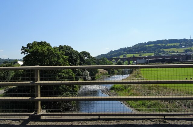
Spring Wood is a picturesque forest located in Lancashire, England. Covering an area of approximately 100 acres, the wood is a popular destination for nature enthusiasts and outdoor lovers. It is situated near the town of Wood, providing easy access for locals and visitors alike.

The wood is characterized by its diverse range of flora and fauna, making it a haven for wildlife. Tall and majestic oak trees dominate the landscape, alongside beech, birch, and ash trees. The forest floor is adorned with a carpet of bluebells during the spring months, creating a stunning display of colors.

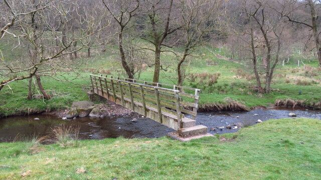
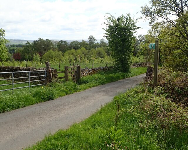
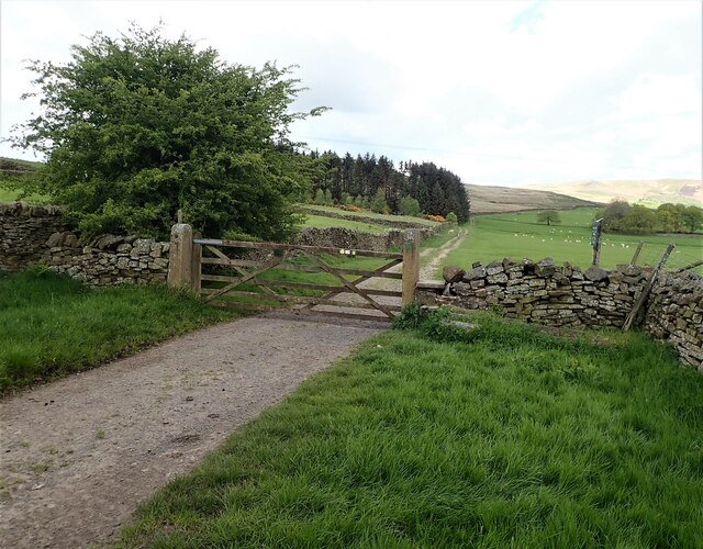
Visitors can explore the wood through a network of well-maintained walking trails, allowing them to immerse themselves in the natural beauty of the surroundings. These trails offer a variety of options, catering to different fitness levels and interests. Along the way, hikers may encounter a variety of bird species, including woodpeckers, jays, and thrushes.

Spring Wood is also home to a diverse range of wildlife. Squirrels can be spotted darting through the branches, while rabbits and hares can be seen foraging in the undergrowth. Additionally, the wood provides habitat for deer, foxes, and badgers, although they are more elusive and sightings are rare.

For those seeking solitude and tranquility, Spring Wood offers secluded picnic areas and benches, providing the perfect spot for a peaceful break. The wood is also a popular location for photography enthusiasts, who can capture the beauty of the changing seasons and the abundant wildlife.

Overall, Spring Wood is a natural gem in Lancashire, offering a peaceful retreat and the opportunity to connect with nature.

If you have any feedback on the listing, please let us know in the comments section below.

Spring Wood Images

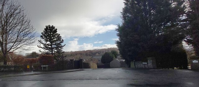
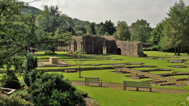
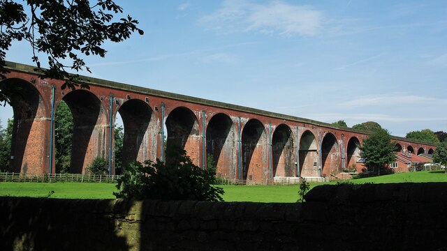
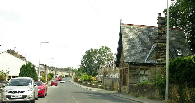
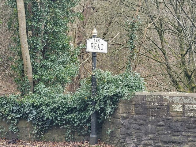
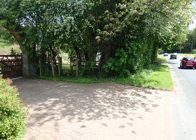
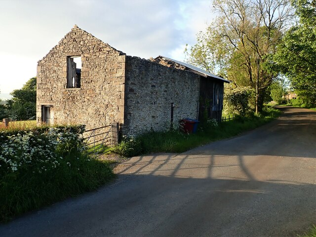
Images are sourced within 2km of 53.822361/-2.39378 or Grid Reference SD7436. Thanks to Geograph Open Source API. All images are credited.

Whalley Community Hydro, Whalley Weir, River Calder Whalley Community Hydro Electricity plant at Whalley Weir on the River Calder
Whalley Community Hydro, Whalley Weir, River Calder
Whalley Community Hydro Electricity plant at Whalley Weir on the River Calder
Park Head
Park Head
McDonald's on the Ribble Valley Enterprise Park near Clitheroe
Whalley Abbey Remains The east range of the cloisters with the reconstituted High Altar within the church foundations to the left in the view
Whalley Abbey Remains
The east range of the cloisters with the reconstituted High Altar within the church foundations to the left in the view
Whalley Railway Viaduct Viaduct north of the Abbey Gatehouse
Whalley Railway Viaduct
Viaduct north of the Abbey Gatehouse
Whalley Road at Barrow
River Calder from A59 Whalley Viaduct is in the background.
River Calder from A59
Whalley Viaduct is in the background.
Footbridge over Sabden Brook below Hodgeon Stone Plantation
Old Bridge Marker on the A671 Whalley Road Bridge Marker set in the parapet of Read New Bridge, Sabden Brook, next to boundary marker LA_BUCL06pb, on the north side of the A671 Whalley Road. On the boundary of Whalley and Read parishes.

Milestone Society National ID: LA_WHAREA01br
Old Bridge Marker on the A671 Whalley Road
Bridge Marker set in the parapet of Read New Bridge, Sabden Brook, next to boundary marker LA_BUCL06pb, on the north side of the A671 Whalley Road. On the boundary of Whalley and Read parishes. Milestone Society National ID: LA_WHAREA01br
Village Signpost on the A671 Whalley Road near Read New Bridge Located on the northeast side of the A671 Whalley Road at the east end of Read New Bridge in Read parish. 

Milestone Society National ID: LA_SD7434V
Village Signpost on the A671 Whalley Road near Read New Bridge
Located on the northeast side of the A671 Whalley Road at the east end of Read New Bridge in Read parish. Milestone Society National ID: LA_SD7434V
Village Signpost on the A671 Whalley Road on Read New Bridge Located on the southwest side of the A671 Whalley Road on Read New Bridge in Read parish. 

Milestone Society National ID: LA_SD7434W
Village Signpost on the A671 Whalley Road on Read New Bridge
Located on the southwest side of the A671 Whalley Road on Read New Bridge in Read parish. Milestone Society National ID: LA_SD7434W
Stile on Moor Lane at Nab Top The stile provides access to a footpath that leads across the field towards Shawcliffe Lane.
Stile on Moor Lane at Nab Top
The stile provides access to a footpath that leads across the field towards Shawcliffe Lane.
Stile at Briercliffe Farm The stile situated at the Junction of Moor lane and Shawclffe Lane next to the entrance to Briercliffe Farm.
Stile at Briercliffe Farm
The stile situated at the Junction of Moor lane and Shawclffe Lane next to the entrance to Briercliffe Farm.
Stile Clitheroe Road Whalley The stile for the footpath opposite the Cemetery on Clitheroe Road Whalley.
Stile Clitheroe Road Whalley
The stile for the footpath opposite the Cemetery on Clitheroe Road Whalley.
Gate for path off Clerk Hill Road The gate for the footpath on Clerk Hill Road leading to Lower Clerk Hill and Hollins Farm.
Gate for path off Clerk Hill Road
The gate for the footpath on Clerk Hill Road leading to Lower Clerk Hill and Hollins Farm.
Gate on Clerk Hill Road The gateway just past Wiswell Moor Houses on Clerk Hill Road, a view of this gate from the opposite direction can be seen here - <a title="https://www.geograph.org.uk/photo/3358541" href="https://www.geograph.org.uk/photo/3358541">Link</a>.  Description regarding footpaths here -<a title="https://www.geograph.org.uk/photo/2266920" href="https://www.geograph.org.uk/photo/2266920">Link</a>
Gate on Clerk Hill Road
The gateway just past Wiswell Moor Houses on Clerk Hill Road, a view of this gate from the opposite direction can be seen here - Link. Description regarding footpaths here -Link
Derelict Building The derelict building opposite the entrance to Wiswell Eaves Farm off Pendleton Road.
Derelict Building
The derelict building opposite the entrance to Wiswell Eaves Farm off Pendleton Road.
Old Milestone by Whalley Road, Billington Carved stone post by the UC road (was A59), in parish of Billington and Langho (Ribble Valley District), West of Painter Wood Farm, outside Treetops, built into wall, on South side of road. Blackburn stone, erected by the Clitheroe to Blackburn & Mellor Brook turnpike trust in the 19th century. 

Inscription reads:-
: TO {hand->}
BLACKBURN
6½ MILES
TO {hand->}
PRESTON
13¼
MILES
-----
BILLINGTON 

Milestone Society National ID: LA_BBCL06
Old Milestone by Whalley Road, Billington
Carved stone post by the UC road (was A59), in parish of Billington and Langho (Ribble Valley District), West of Painter Wood Farm, outside Treetops, built into wall, on South side of road. Blackburn stone, erected by the Clitheroe to Blackburn & Mellor Brook turnpike trust in the 19th century. Inscription reads:- : TO {hand->} BLACKBURN 6½ MILES TO {hand->} PRESTON 13¼ MILES ----- BILLINGTON Milestone Society National ID: LA_BBCL06
Show me another place!

Spring Wood is located at Grid Ref: SD7436 (Lat: 53.822361, Lng: -2.39378)

Administrative County: Lancashire

District: Ribble Valley

Police Authority: Lancashire

What 3 Words

///tend.encroach.trimmer. Near Whalley, Lancashire

Related Wikis

Oakhill School, Whalley

Oakhill School is a coeducational private Roman Catholic school, situated in the village of Whalley (near the town of Clitheroe) in rural Lancashire, England...

Whalley, Lancashire

Whalley is a large village and civil parish in the Ribble Valley on the banks of the River Calder in Lancashire, England. It is overlooked by Whalley...

Portfield Hillfort

Portfield also known as Planes Wood Camp is a late Bronze Age or Iron Age hillfort situated close to the town of Whalley in Lancashire, Northern England...

Church of St Mary and All Saints, Whalley

The Church of St Mary and All Saints is an Anglican church in the village of Whalley, Lancashire, England. It is an active parish church in the Diocese...

Nearby Amenities

Located within 500m of 53.822361,-2.39378
Traffic Signals
Traffic Signals: signal
Lat/Long: 53.8200146/-2.3954535
Toilets
Lat/Long: 53.8203492/-2.3954097
Lawsonsteads Wood
Natural: wood
Source: OS_OpenData_StreetView
Lat/Long: 53.8262913/-2.3900697
Pipeline: manhole
Lat/Long: 53.8227125/-2.3983154
Bus Stop
Portfield Road
Bus: yes
Naptan AtcoCode: 2500IMG2379
Naptan NaptanCode: langatwt
Public Transport: platform
Lat/Long: 53.818007/-2.3931292
Bus Stop
Portfield Road
Bus: yes
Naptan AtcoCode: 2500IMG2380
Naptan NaptanCode: langawad
Public Transport: platform
Lat/Long: 53.8179437/-2.3932694
Traffic Signals
Traffic Signals: signal
Traffic Signals Direction: backward
Lat/Long: 53.819776/-2.395683
Traffic Signals
Traffic Signals: signal
Lat/Long: 53.8196776/-2.3953772
Traffic Signals
Traffic Signals: signal
Traffic Signals Direction: forward
Lat/Long: 53.8199698/-2.3951932
The data included in this document is from www.openstreetmap.org. The data is made available under ODbL.

Have you been to Spring Wood?

Leave your review of Spring Wood below (or comments, questions and feedback).