Friday Point
Coastal Marsh, Saltings in Cumberland Copeland
England
Friday Point

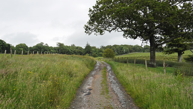
Friday Point is a prominent geographical feature located in the Cumberland region, specifically in the Coastal Marsh area known as the Saltings. This area is situated along the eastern coast of Cumberland County, in the northeastern United States. The Saltings is characterized by its vast expanse of marshy wetlands and salt flats, making it a unique and important ecosystem.
Friday Point itself is a distinct geographical formation within the Saltings. It is a small peninsula that juts out into the Atlantic Ocean, creating a natural barrier between the open sea and the surrounding marshlands. The point is named after the day of the week that it was discovered by early settlers in the area.
The landscape of Friday Point is predominantly flat and low-lying, with salt-tolerant grasses and shrubs covering the marshy terrain. The point is also home to a variety of bird species, including herons, egrets, and sandpipers, which are attracted to the abundant food sources found in the marshes.
Due to its location and unique characteristics, Friday Point serves as a crucial habitat for numerous plant and animal species, many of which are specially adapted to the saline conditions. It also plays a significant role in the overall coastal ecosystem, acting as a buffer against storm surges and erosion.
As a result of its ecological importance and natural beauty, Friday Point is a popular destination for nature enthusiasts, birdwatchers, and photographers. Visitors can explore the marshes via designated trails and observation points, allowing them to experience the diverse flora and fauna that thrive in this coastal habitat.
If you have any feedback on the listing, please let us know in the comments section below.
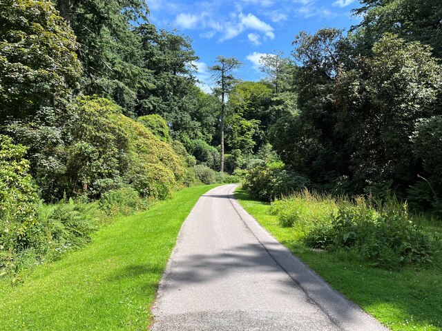
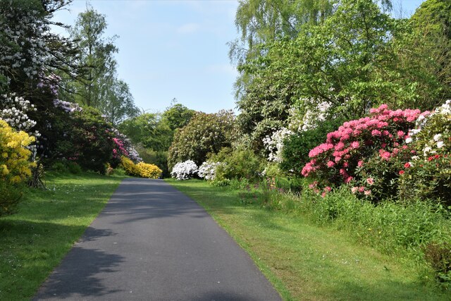
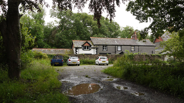
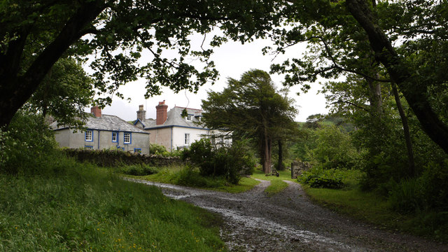
Friday Point Images
Images are sourced within 2km of 54.349993/-3.3765999 or Grid Reference SD1095. Thanks to Geograph Open Source API. All images are credited.


Friday Point is located at Grid Ref: SD1095 (Lat: 54.349993, Lng: -3.3765999)
Administrative County: Cumbria
District: Copeland
Police Authority: Cumbria
What 3 Words
///something.manicured.shred. Near Seascale, Cumbria
Nearby Locations
Related Wikis

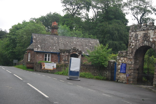
Muncaster Castle
Muncaster Castle is a privately owned castle overlooking the River Esk, about a mile east of the west-coastal town of Ravenglass in Cumbria, England. It...

Muncaster
Muncaster is a civil parish in Cumbria, North West England. The parish is 41 miles (66 km) south west of the city of Carlisle, in the Copeland district...

St Michael's Church, Muncaster
St Michael's Church is in the grounds of Muncaster Castle, near Ravenglass, Cumbria, England. It is an active Anglican parish church in the deanery of...

St John's Church, Waberthwaite
St John's Church is situated on the south bank of the River Esk in the hamlet of Hall Waberthwaite in the former civil parish of Waberthwaite (now part...

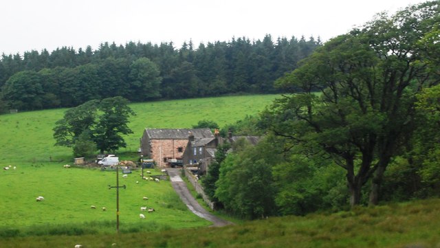
Broad Oak, Cumbria
Broad Oak is a hamlet in Cumbria, England. It is located along the A595 road, 14.4 miles (23.2 km) by road south of Egremont. == See also == List of places...
Glannoventa
Glannoventa is a Roman fort associated with the Roman naval base at Ravenglass in Cumbria, England. Its name is derived from the Latin place-name Clanoventa...
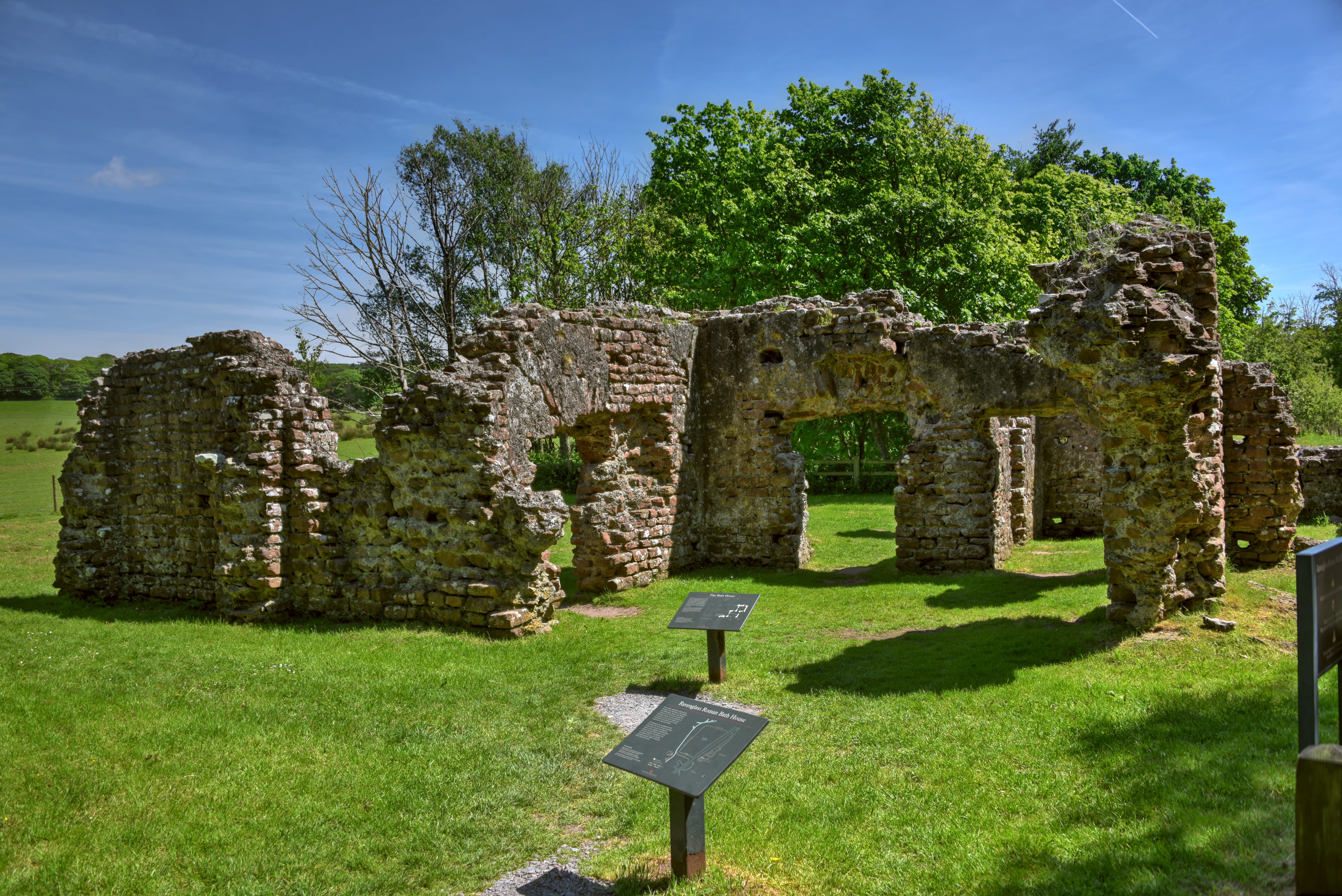
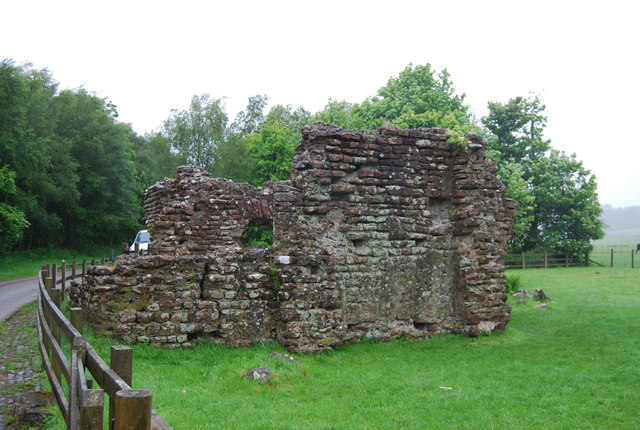
Ravenglass Roman Bath House
Ravenglass Roman Bath House (also known as Walls Castle) is a ruined ancient Roman bath house at Ravenglass, Cumbria, England. Belonging to a 2nd-century...

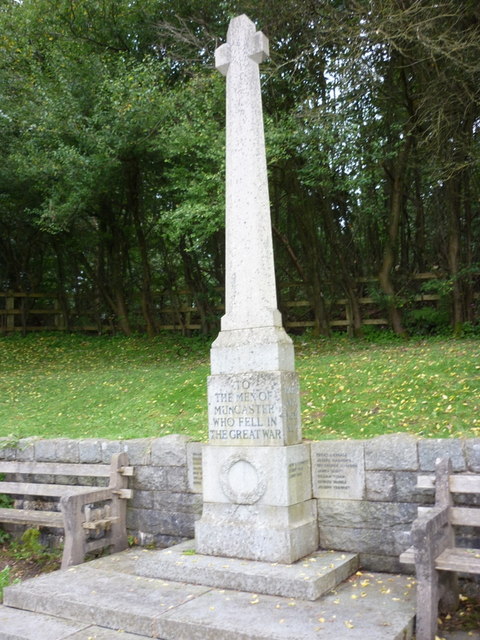
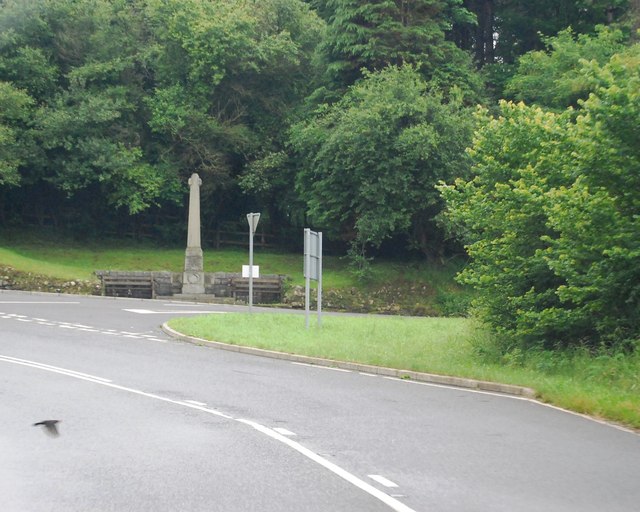
Muncaster War Memorial
Muncaster War Memorial is a First World War memorial in the parish of Muncaster on the west coast of Cumbria in the far north-west of England. The memorial...
Nearby Amenities
Located within 500m of 54.349993,-3.3765999Have you been to Friday Point?
Leave your review of Friday Point below (or comments, questions and feedback).