Hall Waberthwaite
Settlement in Cumberland Copeland
England
Hall Waberthwaite

Hall Waberthwaite is a small village located in the county of Cumberland in northwest England. Situated on the western edge of the Lake District National Park, it is nestled between the Irish Sea to the west and the majestic fells of the Lake District to the east.
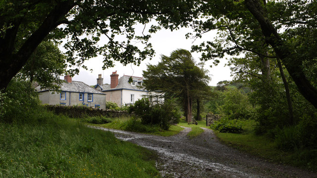
With a population of around 200 residents, Hall Waberthwaite is known for its peaceful and picturesque surroundings. The village is characterized by charming stone houses, many of which date back to the 19th century, giving it a timeless and traditional feel.
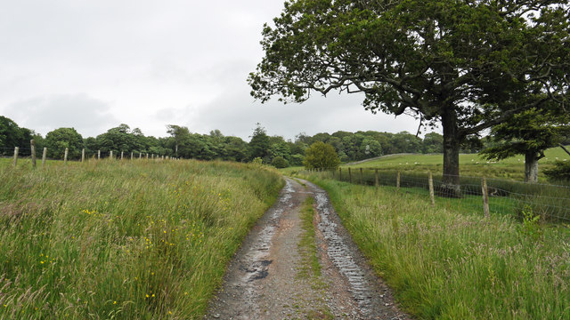
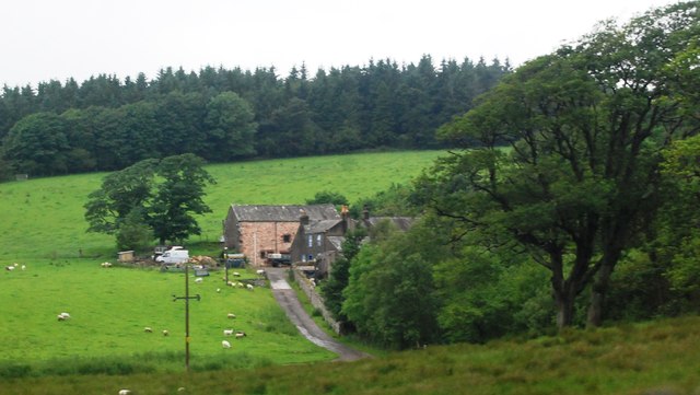
Agriculture has been the primary industry in Hall Waberthwaite for centuries, with farms and fields dotting the landscape. The village is particularly renowned for its dairy farming, producing high-quality local milk and cheese. The fertile soils and favorable climate create ideal conditions for farming in this region.
Nature lovers and outdoor enthusiasts are drawn to Hall Waberthwaite due to its proximity to the Lake District. The village serves as an excellent base for exploring the surrounding natural beauty, with numerous walking trails and scenic drives nearby. The rugged coastline and sandy beaches of the Irish Sea are also within reach, offering opportunities for beachcombing and coastal walks.
While Hall Waberthwaite may be small in size, it offers a peaceful and idyllic setting for those seeking a tranquil escape in the heart of the Lake District's natural splendor.
If you have any feedback on the listing, please let us know in the comments section below.
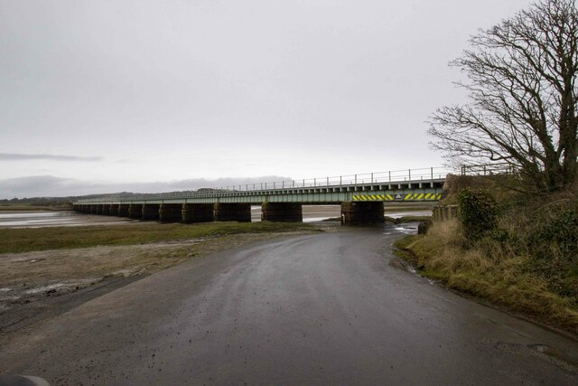
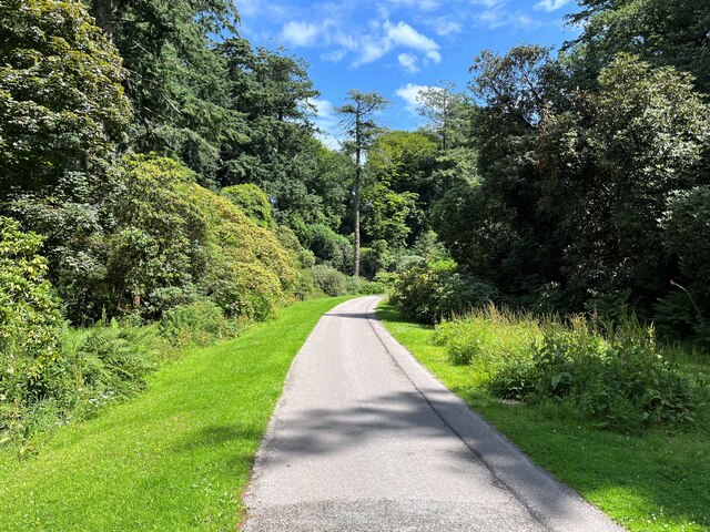
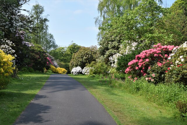
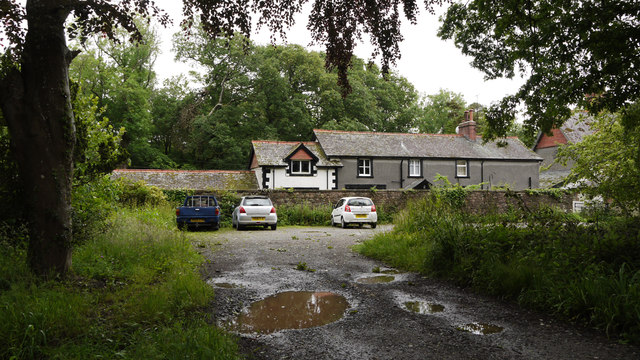
Hall Waberthwaite Images
Images are sourced within 2km of 54.343623/-3.382123 or Grid Reference SD1095. Thanks to Geograph Open Source API. All images are credited.


Hall Waberthwaite is located at Grid Ref: SD1095 (Lat: 54.343623, Lng: -3.382123)
Administrative County: Cumbria
District: Copeland
Police Authority: Cumbria
What 3 Words
///chins.spruced.titles. Near Seascale, Cumbria
Nearby Locations
Related Wikis

St John's Church, Waberthwaite
St John's Church is situated on the south bank of the River Esk in the hamlet of Hall Waberthwaite in the former civil parish of Waberthwaite (now part...

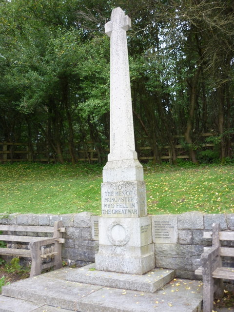
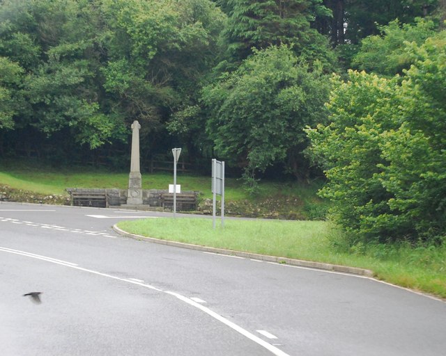
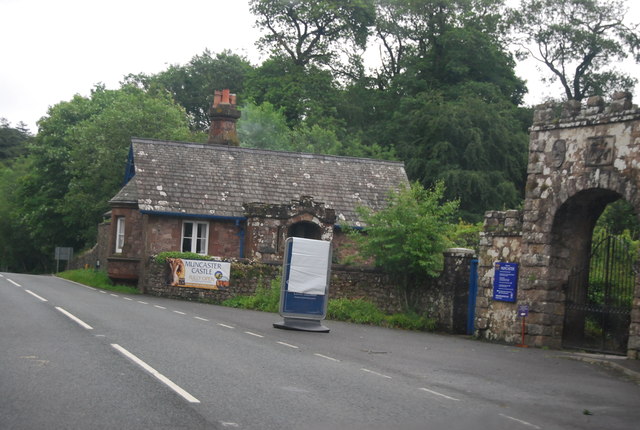
Muncaster Castle
Muncaster Castle is a privately owned castle overlooking the River Esk, about a mile east of the west-coastal town of Ravenglass in Cumbria, England. It...

Broad Oak, Cumbria
Broad Oak is a hamlet in Cumbria, England. It is located along the A595 road, 14.4 miles (23.2 km) by road south of Egremont. == See also == List of places...

Muncaster
Muncaster is a civil parish in Cumbria, North West England. The parish is 41 miles (66 km) south west of the city of Carlisle, in the Copeland district...

St Michael's Church, Muncaster
St Michael's Church is in the grounds of Muncaster Castle, near Ravenglass, Cumbria, England. It is an active Anglican parish church in the deanery of...
Glannoventa
Glannoventa is a Roman fort associated with the Roman naval base at Ravenglass in Cumbria, England. Its name is derived from the Latin place-name Clanoventa...

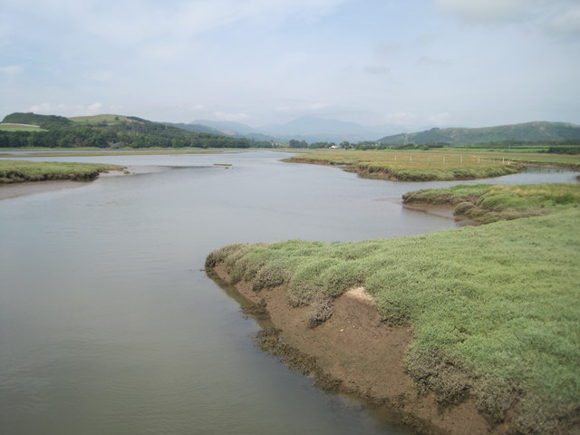
Waberthwaite
Waberthwaite is a small, former rural civil parish (about 4 square miles in area) on the south bank of the estuary of the River Esk, in Copeland, Cumbria...
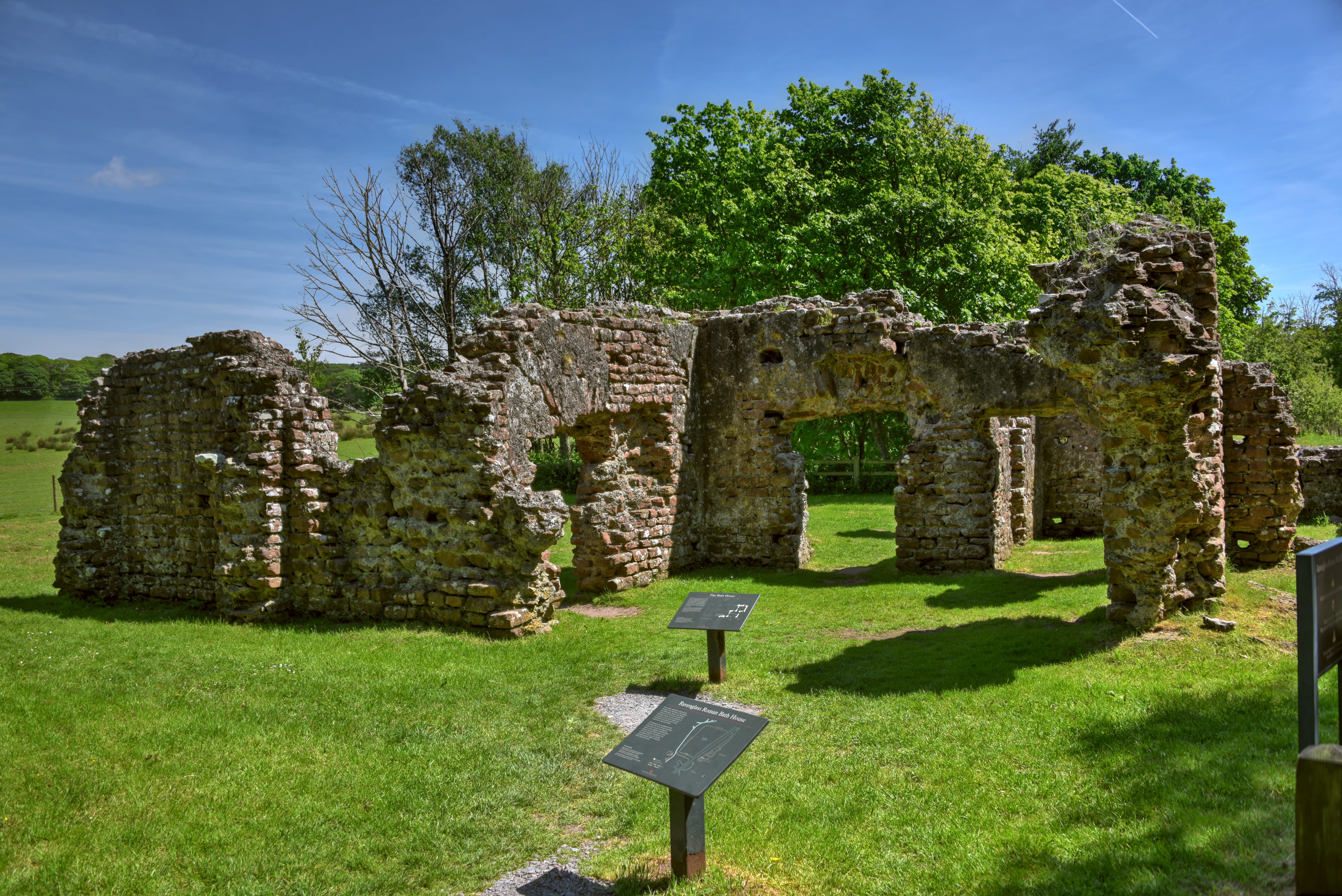
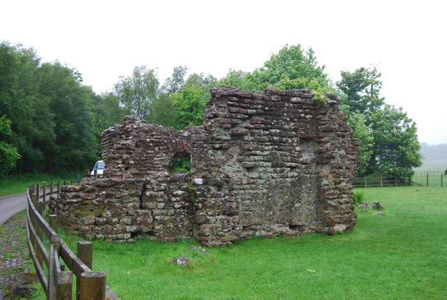
Ravenglass Roman Bath House
Ravenglass Roman Bath House (also known as Walls Castle) is a ruined ancient Roman bath house at Ravenglass, Cumbria, England. Belonging to a 2nd-century...
Related Videos

The Eastern Hadrianic Way: Hiking the Rugged Heart of The Lake District. Hiking & Wild Camping.
In September 2021, my brother and I hiked the Eastern Hadrianic Way in 2 days, covering almost 30 miles of steep mountain ...
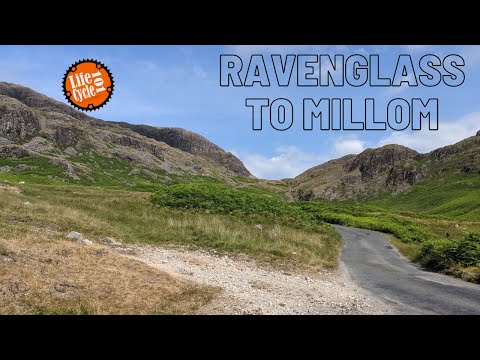
Ravenglass to Millom
just back from our northern holiday where we visited Cumbria & Northumberland. Only got 1 video to share with you. I rode from ...

#travel #adventure #MUNCASTERcastle #LakeDistrict #Owl #Birdshow Muncaster Castle Adventure 13Oct20
Welcome to my channel. I am a 3 year old vlogger. Please like/follow my facebook page: https://www.facebook.com/BritFil.

#Lakedistrict #Ravenglass #Travel #Cumbria #Eskdale Izzy's steam train experience 12 Oct 2020
Welcome to my channel. I am a 3 year old vlogger. Please like/follow my facebook page: https://www.facebook.com/BritFil.
Nearby Amenities
Located within 500m of 54.343623,-3.382123Have you been to Hall Waberthwaite?
Leave your review of Hall Waberthwaite below (or comments, questions and feedback).