Croft Coppice
Wood, Forest in Cumberland Copeland
England
Croft Coppice

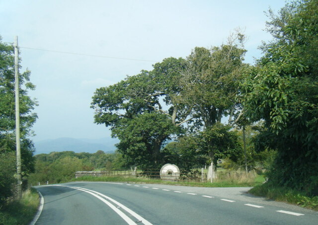
Croft Coppice, located in Cumberland, is a picturesque woodland area known for its diverse range of flora and fauna. Spanning over a vast expanse, it is a haven for nature enthusiasts and a popular destination for outdoor activities.
The woodland is predominantly made up of deciduous trees such as oak, beech, and ash, which provide a stunning display of colors during the autumn months. The forest floor is carpeted with a variety of wildflowers, including bluebells and primroses, adding to the enchanting atmosphere.
Croft Coppice is home to a rich array of wildlife. It provides a habitat for numerous bird species, including woodpeckers, owls, and songbirds. Small mammals like squirrels and rabbits can often be spotted darting among the trees, while larger animals like deer and foxes roam through the undergrowth.
The woodland is crisscrossed with well-maintained footpaths and trails, making it a perfect spot for hiking and walking. Visitors can immerse themselves in the tranquil surroundings and enjoy the peacefulness of nature. There are also designated picnic areas where families and friends can gather for a relaxing day out.
Additionally, Croft Coppice offers educational opportunities, with guided nature walks and workshops available for both children and adults. These activities aim to promote an understanding of the importance of preserving and conserving the natural environment.
Overall, Croft Coppice in Cumberland is a captivating woodland that showcases the beauty of nature. With its diverse ecosystem and range of recreational activities, it is a destination that appeals to both nature lovers and outdoor enthusiasts alike.
If you have any feedback on the listing, please let us know in the comments section below.
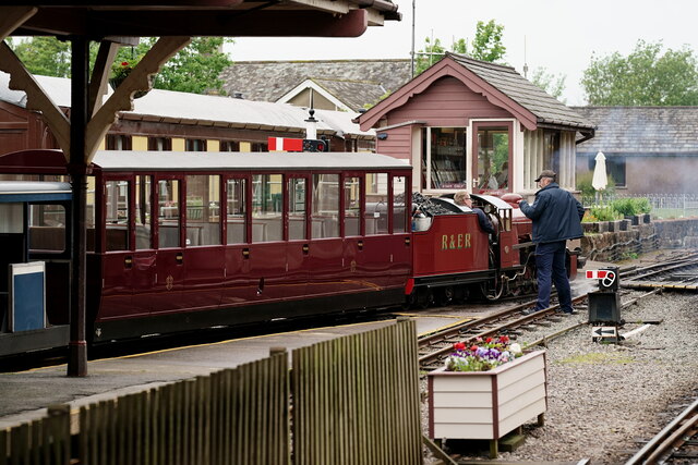
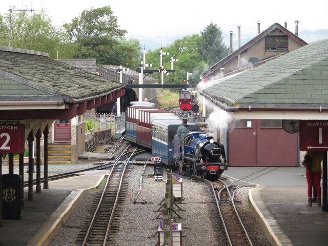
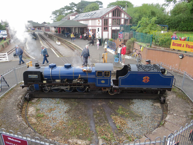
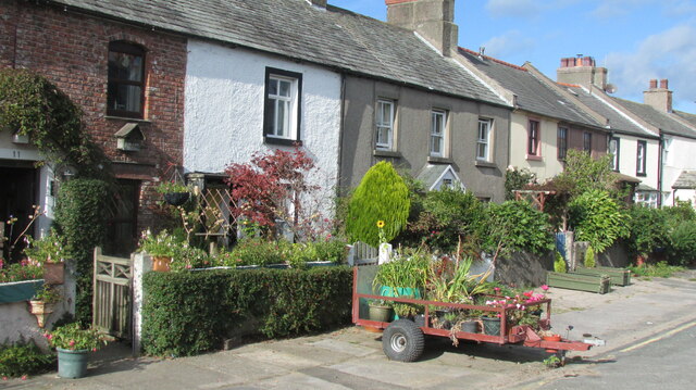
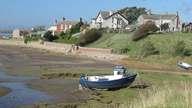
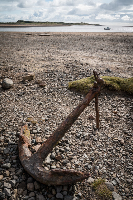
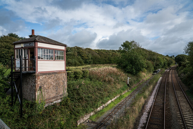
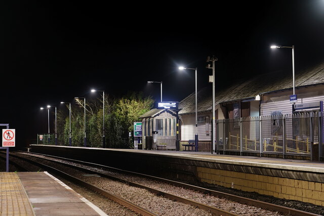
Croft Coppice Images
Images are sourced within 2km of 54.350098/-3.3846503 or Grid Reference SD1095. Thanks to Geograph Open Source API. All images are credited.


Croft Coppice is located at Grid Ref: SD1095 (Lat: 54.350098, Lng: -3.3846503)
Administrative County: Cumbria
District: Copeland
Police Authority: Cumbria
What 3 Words
///however.tasters.apparatus. Near Seascale, Cumbria
Nearby Locations
Related Wikis

Muncaster Castle
Muncaster Castle is a privately owned castle overlooking the River Esk, about a mile east of the west-coastal town of Ravenglass in Cumbria, England. It...

Muncaster
Muncaster is a civil parish in Cumbria, North West England. The parish is 41 miles (66 km) south west of the city of Carlisle, in the Copeland district...

St John's Church, Waberthwaite
St John's Church is situated on the south bank of the River Esk in the hamlet of Hall Waberthwaite in the former civil parish of Waberthwaite (now part...

St Michael's Church, Muncaster
St Michael's Church is in the grounds of Muncaster Castle, near Ravenglass, Cumbria, England. It is an active Anglican parish church in the deanery of...
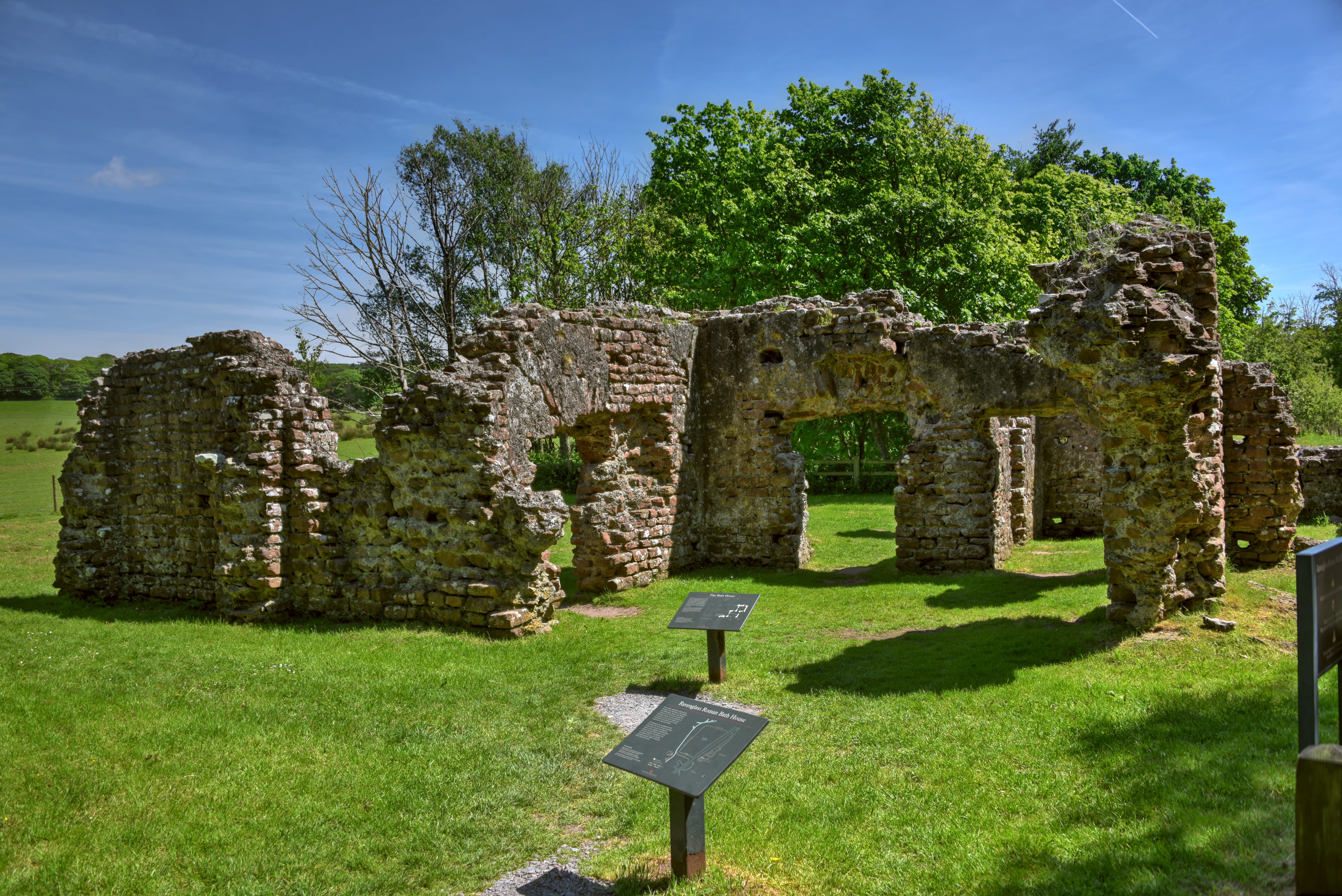
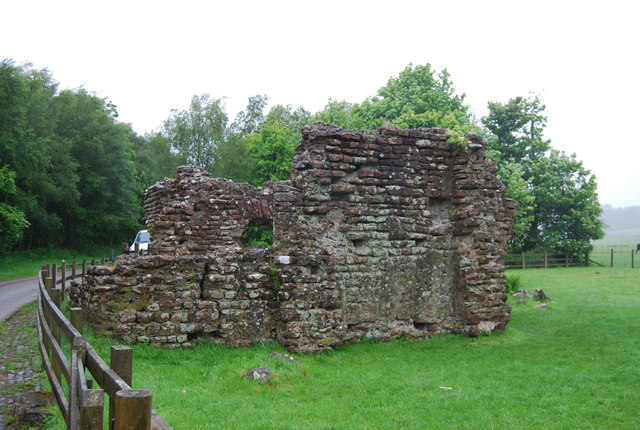
Ravenglass Roman Bath House
Ravenglass Roman Bath House (also known as Walls Castle) is a ruined ancient Roman bath house at Ravenglass, Cumbria, England. Belonging to a 2nd-century...
Glannoventa
Glannoventa is a Roman fort associated with the Roman naval base at Ravenglass in Cumbria, England. Its name is derived from the Latin place-name Clanoventa...

Muncaster War Memorial
Muncaster War Memorial is a First World War memorial in the parish of Muncaster on the west coast of Cumbria in the far north-west of England. The memorial...
National Cycle Route 72
National Route 72 of the National Cycle Network, in Northern England is also called "Hadrian's Cycleway". It starts at Kendal and makes its way around...
Nearby Amenities
Located within 500m of 54.350098,-3.3846503Have you been to Croft Coppice?
Leave your review of Croft Coppice below (or comments, questions and feedback).