Lower Hopton
Settlement in Yorkshire
England
Lower Hopton
Lower Hopton is a small village located in the metropolitan borough of Kirklees, in the county of West Yorkshire, England. Situated approximately 3 miles south of the town of Mirfield, Lower Hopton is nestled in the beautiful countryside of the Pennines.
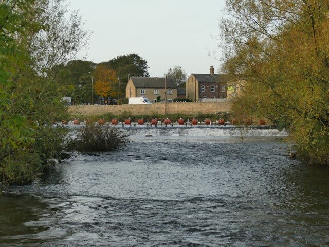
The village is characterized by its rural charm and picturesque landscapes. It is surrounded by rolling hills and green fields, making it an ideal location for those seeking a peaceful and idyllic setting. Lower Hopton offers a close-knit community atmosphere, with a population of around 1,500 residents.
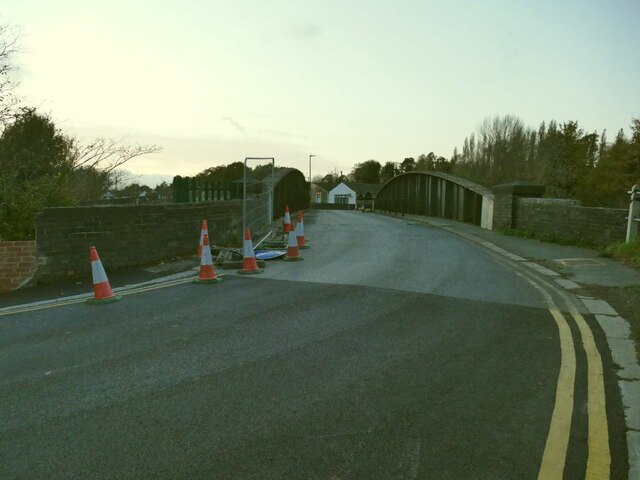
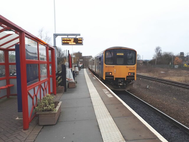
The village is well-connected with nearby towns and cities, with the M62 motorway just a short distance away, providing easy access to Leeds, Manchester, and other major urban centers. The nearby Mirfield railway station also offers convenient transportation links.
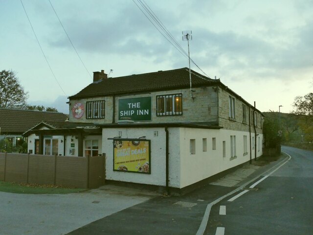
Lower Hopton boasts a range of amenities for its residents. The village has a primary school, providing education for local children, and a village hall that hosts various community events and activities. Additionally, there are several local shops and businesses catering to the needs of the residents.
For outdoor enthusiasts, Lower Hopton offers ample opportunities for leisure and recreation. The surrounding countryside provides numerous walking and cycling trails, allowing residents to explore the natural beauty of the area. The nearby Hopton Hall Park offers a tranquil green space, perfect for picnics and family outings.
In summary, Lower Hopton is a charming village in the heart of Yorkshire, offering a peaceful and rural lifestyle while still providing easy access to nearby towns and cities.
If you have any feedback on the listing, please let us know in the comments section below.
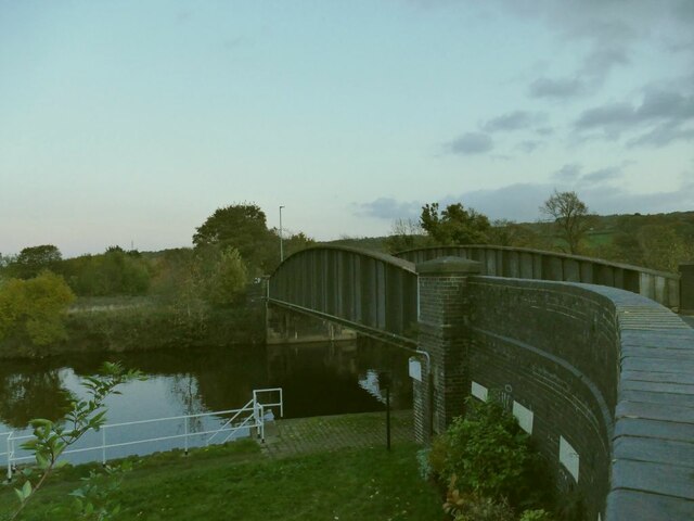
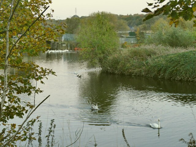
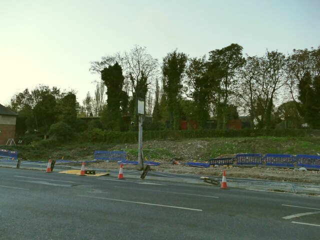
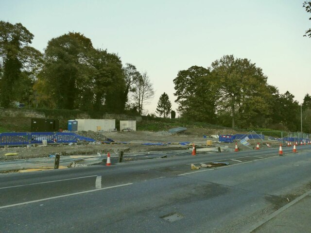
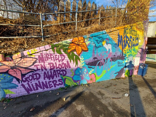
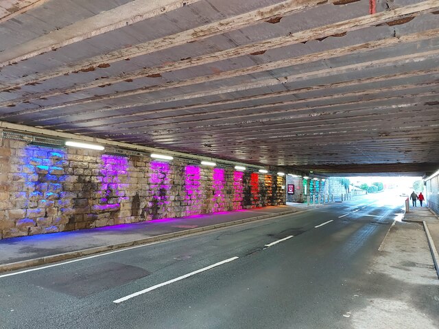
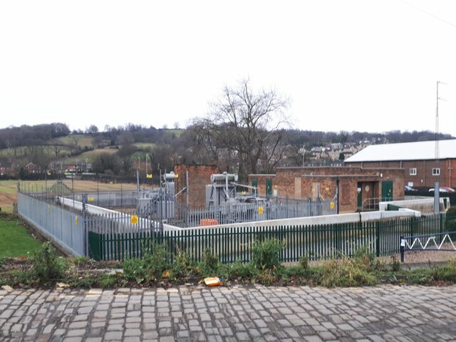
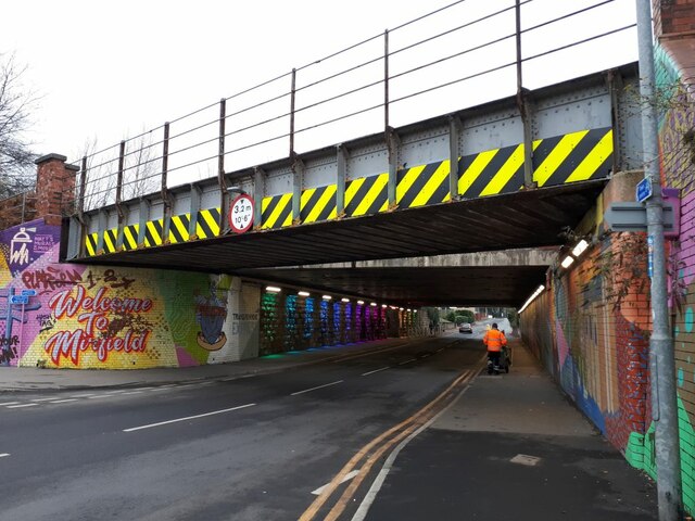
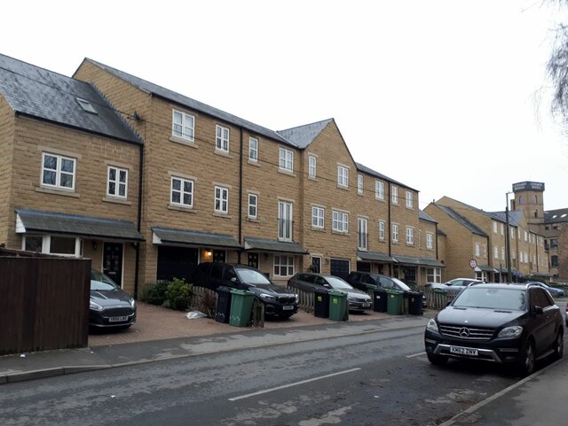
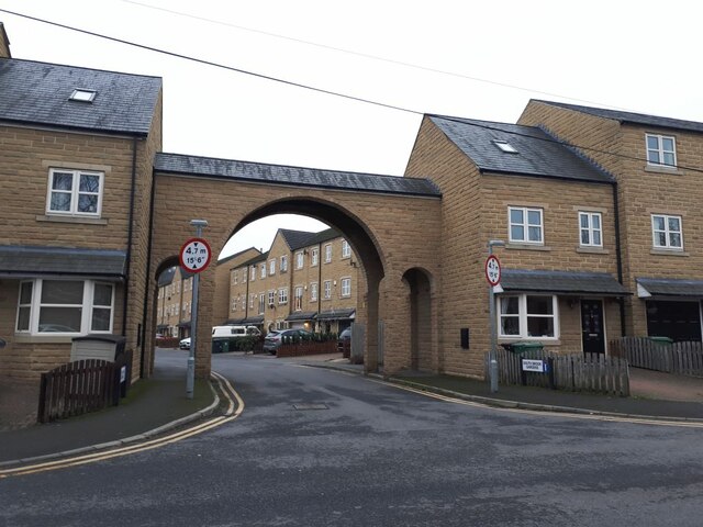
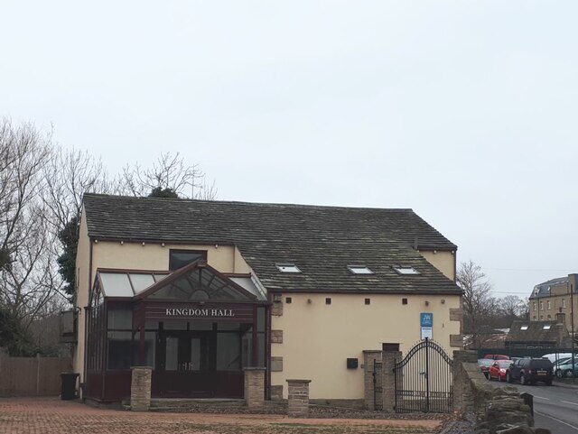
Lower Hopton Images
Images are sourced within 2km of 53.66844/-1.697257 or Grid Reference SE2019. Thanks to Geograph Open Source API. All images are credited.
Lower Hopton is located at Grid Ref: SE2019 (Lat: 53.66844, Lng: -1.697257)
Division: West Riding
Unitary Authority: Kirklees
Police Authority: West Yorkshire
What 3 Words
///costly.dilute.compacts. Near Mirfield, West Yorkshire
Nearby Locations
Related Wikis

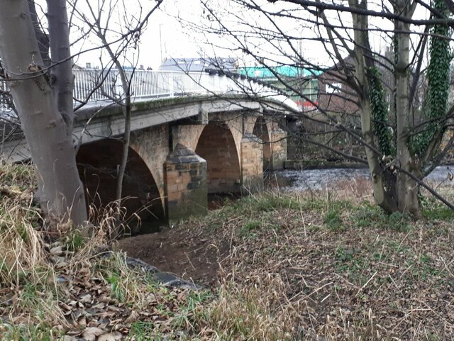
Ledgard Bridge
Ledgard Bridge crosses the River Calder in Mirfield, West Yorkshire, England. It was built in 1800 as a replacement for an earlier bridge in the same location...

Mirfield railway station
Mirfield railway station serves the town of Mirfield in West Yorkshire, England. It lies on the Huddersfield Line and is managed by both Northern and Grand...

Mirfield Town Hall
Mirfield Town Hall is a former municipal building in Huddersfield Road in Mirfield, a town in West Yorkshire in England. The building, which was previously...

Mirfield Show
Mirfield Show is an annual agricultural show held at the Huddersfield Road Showground in Mirfield, West Yorkshire, England on the third Sunday in August...
Battyeford railway station
Battyeford railway station served the village of Battyeford in West Yorkshire, England. == History == Built by the London and North Western Railway and...
Holly Bank Trust
Hollybank was one of the first registered schools for disabled children to be built in the North of England. It is a registered charity and care home,...
Castle Hall Academy
Castle Hall Academy (formerly Castle Hall School before becoming an academy in 2011, and Castle Hall Academy before and after joining IMPACT in 2018) is...
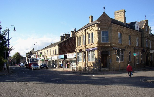
Mirfield
Mirfield () is a town and civil parish in the Metropolitan Borough of Kirklees, West Yorkshire, England. Historically part of the West Riding of Yorkshire...
Nearby Amenities
Located within 500m of 53.66844,-1.697257Have you been to Lower Hopton?
Leave your review of Lower Hopton below (or comments, questions and feedback).