Lowlands
Settlement in Yorkshire
England
Lowlands
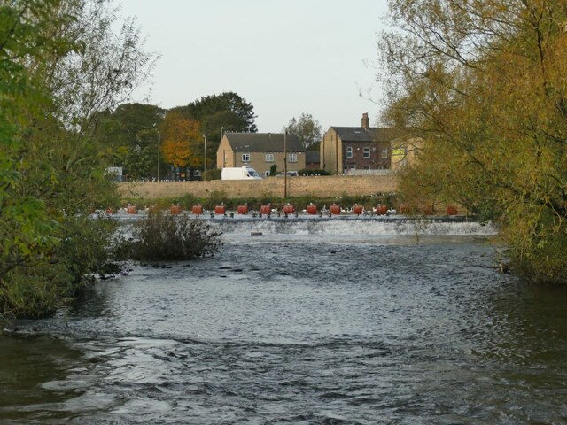
Lowlands is a small village located in the county of Yorkshire, England. Situated in the beautiful countryside, Lowlands is known for its picturesque landscapes and charming rural setting. The village is home to a close-knit community of residents who take pride in their surroundings and work together to maintain the village's peaceful atmosphere.
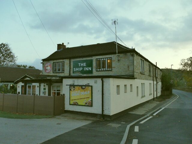
Lowlands features a mix of traditional stone cottages and modern houses, giving the village a unique character that blends the old with the new. The village also has a few small shops and a local pub, providing residents with essential amenities within walking distance.
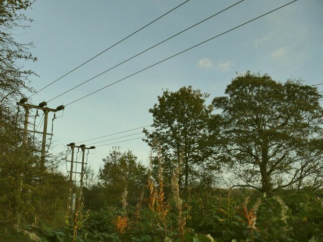
Surrounded by rolling hills and lush green fields, Lowlands is a popular destination for hikers and nature enthusiasts looking to explore the stunning Yorkshire countryside. The village is also conveniently located near several historic sites and attractions, making it a great base for visitors looking to explore the region.
Overall, Lowlands offers a tranquil and idyllic setting for those seeking a peaceful retreat in the heart of Yorkshire's countryside.
If you have any feedback on the listing, please let us know in the comments section below.
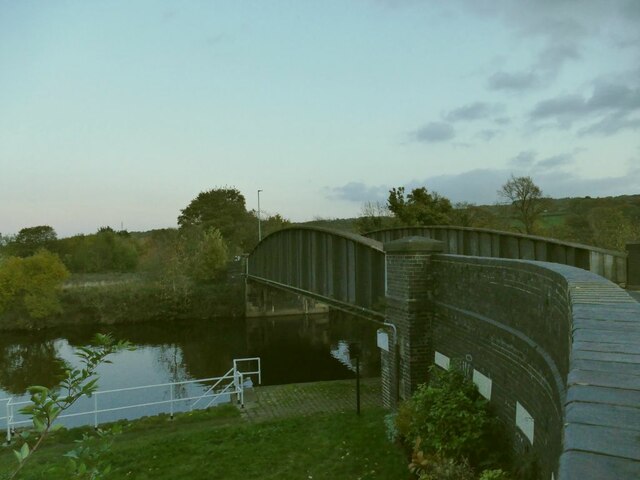
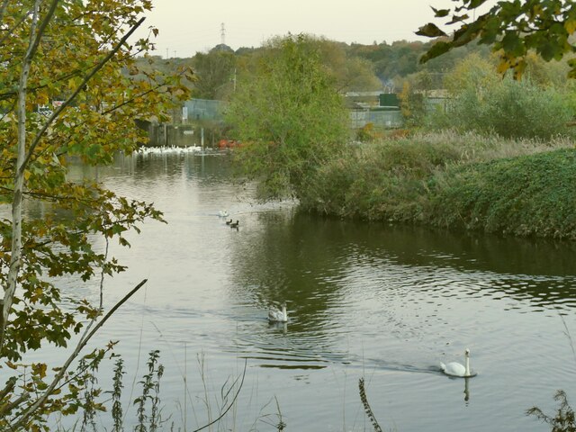
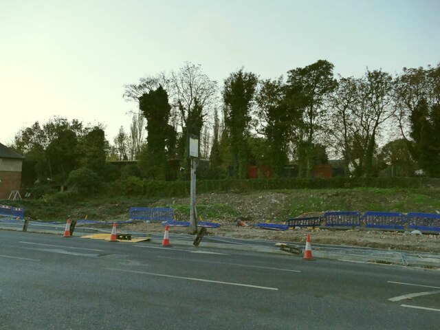
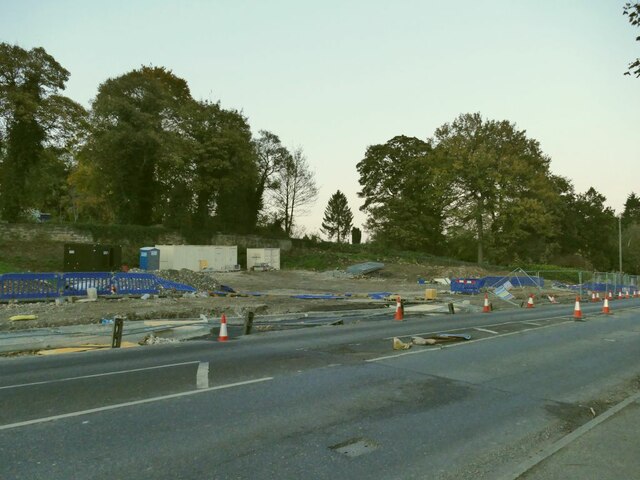
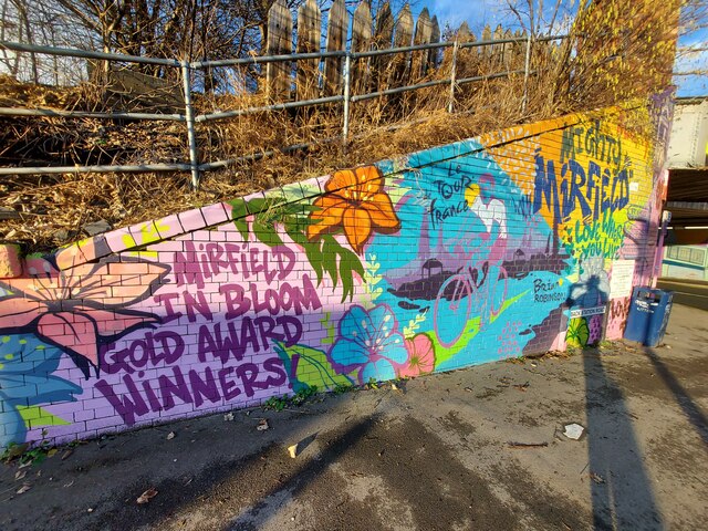
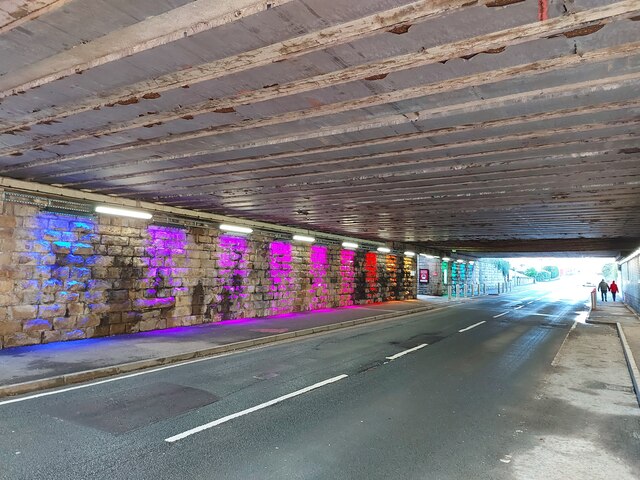
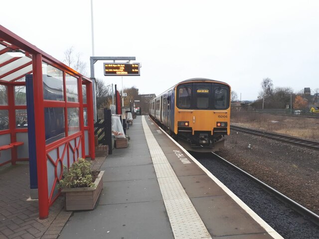
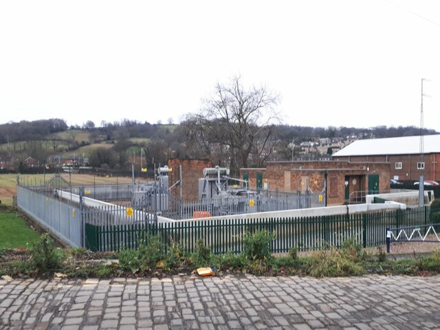
Lowlands Images
Images are sourced within 2km of 53.667101/-1.6987816 or Grid Reference SE2019. Thanks to Geograph Open Source API. All images are credited.
Lowlands is located at Grid Ref: SE2019 (Lat: 53.667101, Lng: -1.6987816)
Division: West Riding
Unitary Authority: Kirklees
Police Authority: West Yorkshire
What 3 Words
///nozzles.fuzzy.presides. Near Mirfield, West Yorkshire
Nearby Locations
Related Wikis

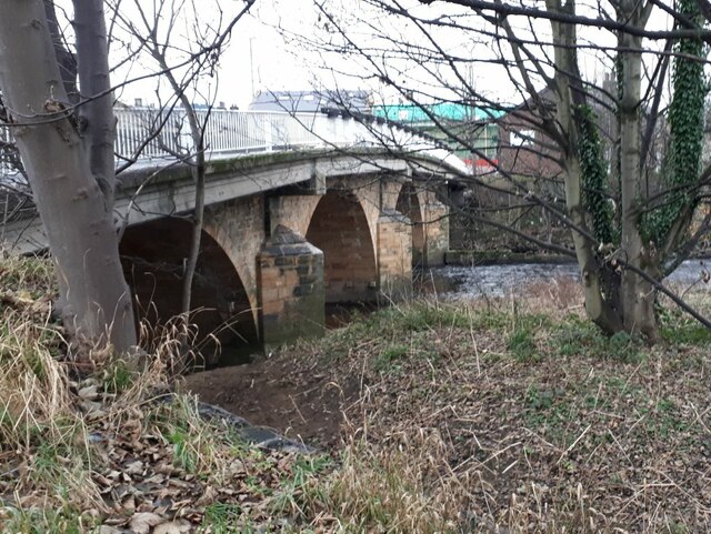
Ledgard Bridge
Ledgard Bridge crosses the River Calder in Mirfield, West Yorkshire, England. It was built in 1800 as a replacement for an earlier bridge in the same location...

Mirfield railway station
Mirfield railway station serves the town of Mirfield in West Yorkshire, England. It lies on the Huddersfield Line and is managed by both Northern and Grand...

Mirfield Town Hall
Mirfield Town Hall is a former municipal building in Huddersfield Road in Mirfield, a town in West Yorkshire in England. The building, which was previously...

Mirfield Show
Mirfield Show is an annual agricultural show held at the Huddersfield Road Showground in Mirfield, West Yorkshire, England on the third Sunday in August...
Related Videos

WORLD'S STRANGEST NAMED PLACES #shorts
in this video we visit a strange named road in yorkshire called long tongue scrog lane. I dont even know what a scrog is (any ideas ...

Mirfield Family fun fair May 2021 in UK/Anywhere Walking Tour
Mirfield family fun fair May 2021 in UK/Anywhere Walking Tour Mirfield family fun fair 2021 is held in Mirfield Showground, West ...

Walking along a country lane making a field recording
A country lane walk in surround sound filmed on the Kirklees way near Briestfield. Filmed in 2K 30fps reduced to 1080p, ...
Nearby Amenities
Located within 500m of 53.667101,-1.6987816Have you been to Lowlands?
Leave your review of Lowlands below (or comments, questions and feedback).