Mirfield Cut
Lake, Pool, Pond, Freshwater Marsh in Yorkshire
England
Mirfield Cut
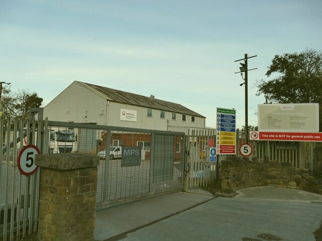
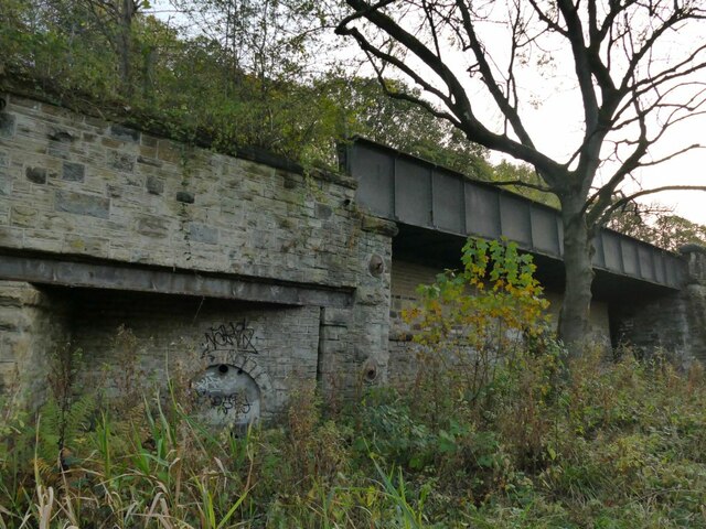
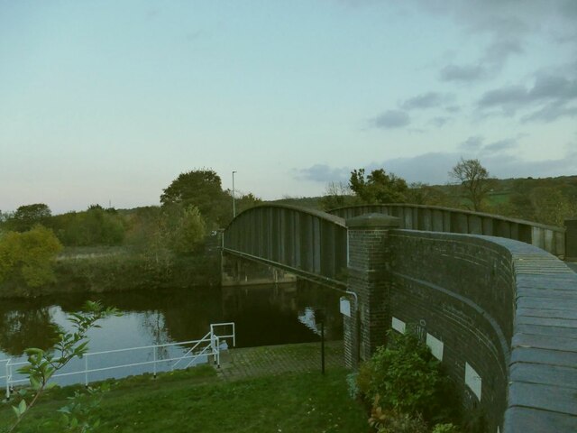
Mirfield Cut is a man-made waterway located in Mirfield, West Yorkshire, England. It serves as a canal link between the Calder and Hebble Navigation and the Huddersfield Broad Canal. The cut was constructed in the 18th century to facilitate transportation of goods, particularly coal, between the local industries and the wider canal network.
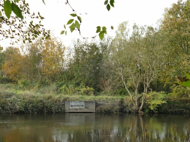
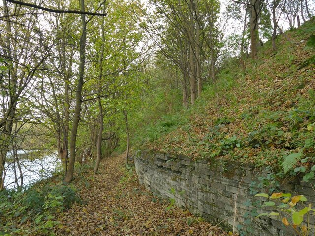
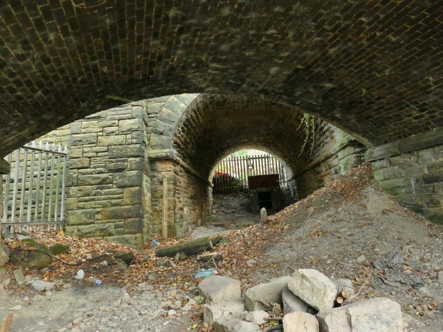
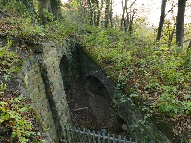
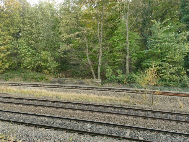
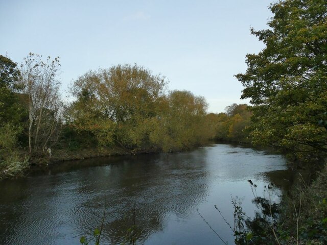
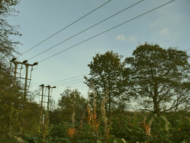
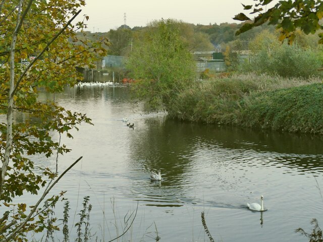
Spanning approximately 2.5 miles in length, Mirfield Cut is classified as a canal, but it resembles more of a river or a stream due to its flowing water. It is surrounded by lush greenery, with trees and vegetation lining its banks. The water in the cut is freshwater, making it suitable for various aquatic life forms.
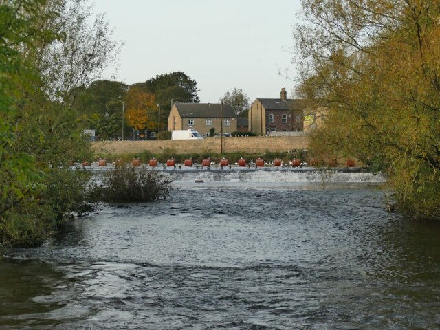
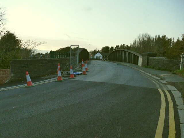
The cut also features several locks, which were originally used to manage water levels and enable boats to navigate through the different elevation points. These locks, including Shepley Bridge Lock and Battyeford Lock, add visual interest to the area and provide opportunities for recreational boating and canal cruising.
Mirfield Cut also serves as a habitat for a variety of wildlife. The surrounding freshwater marshes and ponds attract numerous bird species, including ducks, swans, and herons. Additionally, the cut is home to fish, such as roach, perch, and pike, which thrive in its clean and unpolluted waters.
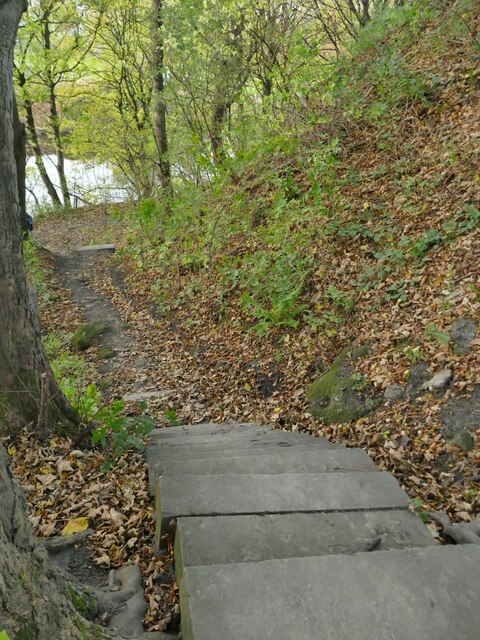
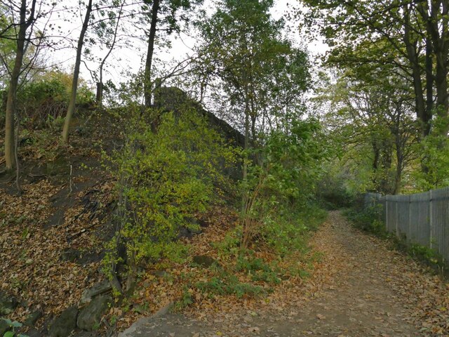
Today, Mirfield Cut is not only valued for its historical significance but also as a tranquil and picturesque destination for leisure activities. Visitors can enjoy walks along the towpaths, observe the diverse flora and fauna, and even try their hand at fishing. The cut offers a peaceful escape from the hustle and bustle of urban life and provides a natural haven for both humans and wildlife alike.
If you have any feedback on the listing, please let us know in the comments section below.
Mirfield Cut Images
Images are sourced within 2km of 53.67334/-1.6851138 or Grid Reference SE2019. Thanks to Geograph Open Source API. All images are credited.

Mirfield Cut is located at Grid Ref: SE2019 (Lat: 53.67334, Lng: -1.6851138)
Division: West Riding
Unitary Authority: Kirklees
Police Authority: West Yorkshire
What 3 Words
///staging.fluid.disco. Near Mirfield, West Yorkshire
Nearby Locations
Related Wikis

Mirfield Show
Mirfield Show is an annual agricultural show held at the Huddersfield Road Showground in Mirfield, West Yorkshire, England on the third Sunday in August...

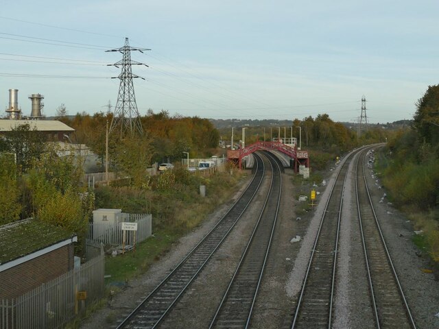
Mirfield railway station
Mirfield railway station serves the town of Mirfield in West Yorkshire, England. It lies on the Huddersfield Line and is managed by both Northern and Grand...

St Mary's Church, Mirfield
St Mary's Church is the parish church of the town of Mirfield in West Yorkshire, England. The current building is a large Gothic Revival structure designed...
Castle Hall Academy
Castle Hall Academy (formerly Castle Hall School before becoming an academy in 2011, and Castle Hall Academy before and after joining IMPACT in 2018) is...

Ledgard Bridge
Ledgard Bridge crosses the River Calder in Mirfield, West Yorkshire, England. It was built in 1800 as a replacement for an earlier bridge in the same location...
Mirfield
Mirfield () is a town and civil parish in Kirklees, West Yorkshire, England. Historically part of the West Riding of Yorkshire, it is on the A644 road...
Holly Bank Trust
Hollybank was one of the first registered schools for disabled children to be built in the North of England. It is a registered charity and care home,...
Northorpe Higher railway station
Northorpe Higher railway station served the Northorpe area of Mirfield, in West Yorkshire, England. == History == Northorpe Station was situated on the...
Related Videos

Mirfield Family fun fair May 2021 in UK/Anywhere Walking Tour
Mirfield family fun fair May 2021 in UK/Anywhere Walking Tour Mirfield family fun fair 2021 is held in Mirfield Showground, West ...


Walking along a country lane making a field recording
A country lane walk in surround sound filmed on the Kirklees way near Briestfield. Filmed in 2K 30fps reduced to 1080p, ...
Nearby Amenities
Located within 500m of 53.67334,-1.6851138Have you been to Mirfield Cut?
Leave your review of Mirfield Cut below (or comments, questions and feedback).