Lowlands
Settlement in Monmouthshire
Wales
Lowlands

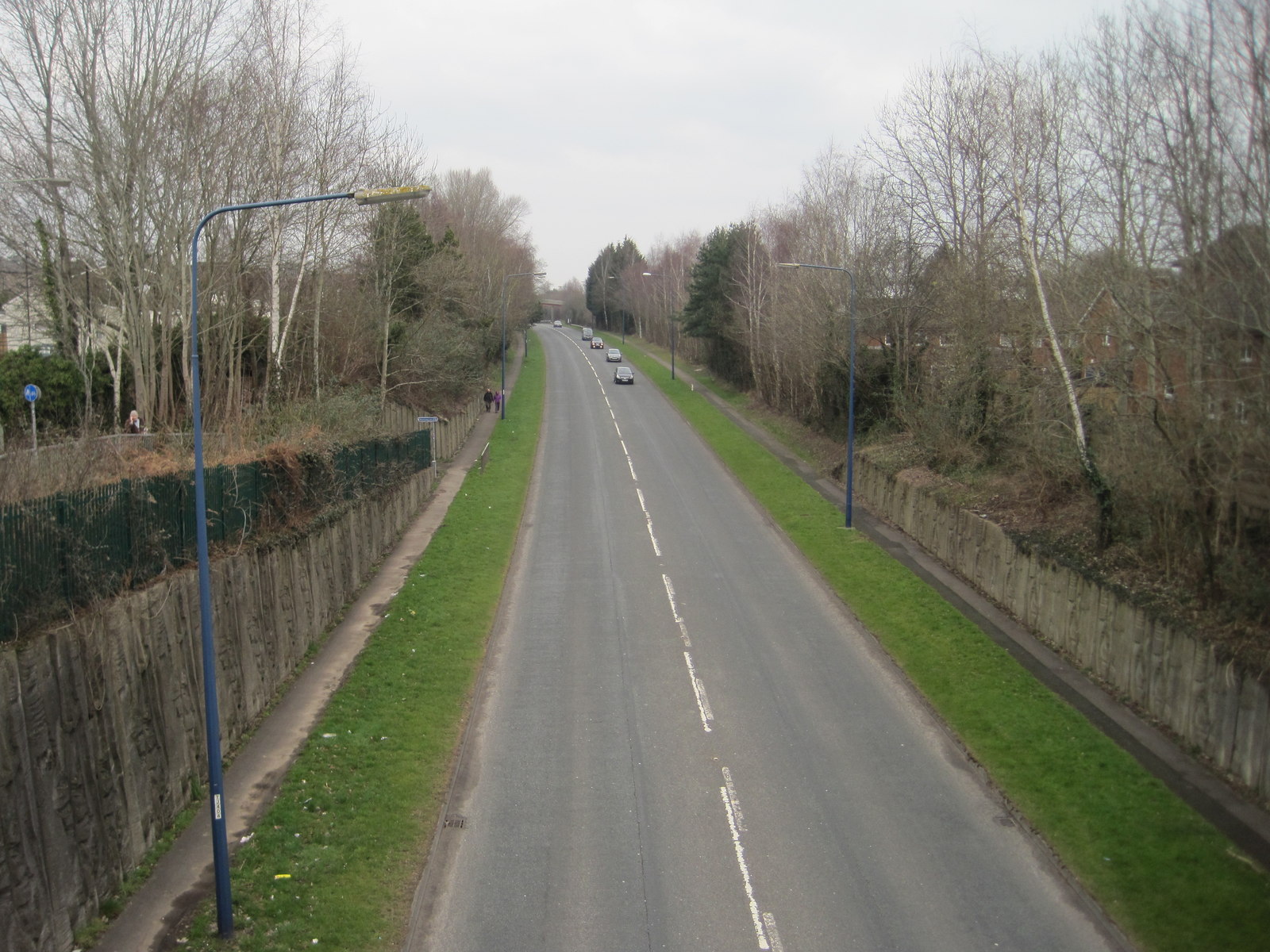
Lowlands is a small village located in the county of Monmouthshire, Wales. Situated in the southeastern part of the country, the village is nestled amidst picturesque countryside and rolling hills. With a population of around 500 residents, Lowlands exudes a tranquil and close-knit community atmosphere.
The village is primarily residential, with a scattering of traditional stone cottages and modern houses. The surrounding landscape offers stunning views, with farmland and meadows stretching as far as the eye can see. This idyllic setting attracts nature lovers and outdoor enthusiasts, who can explore the numerous walking trails and enjoy the peacefulness of the countryside.
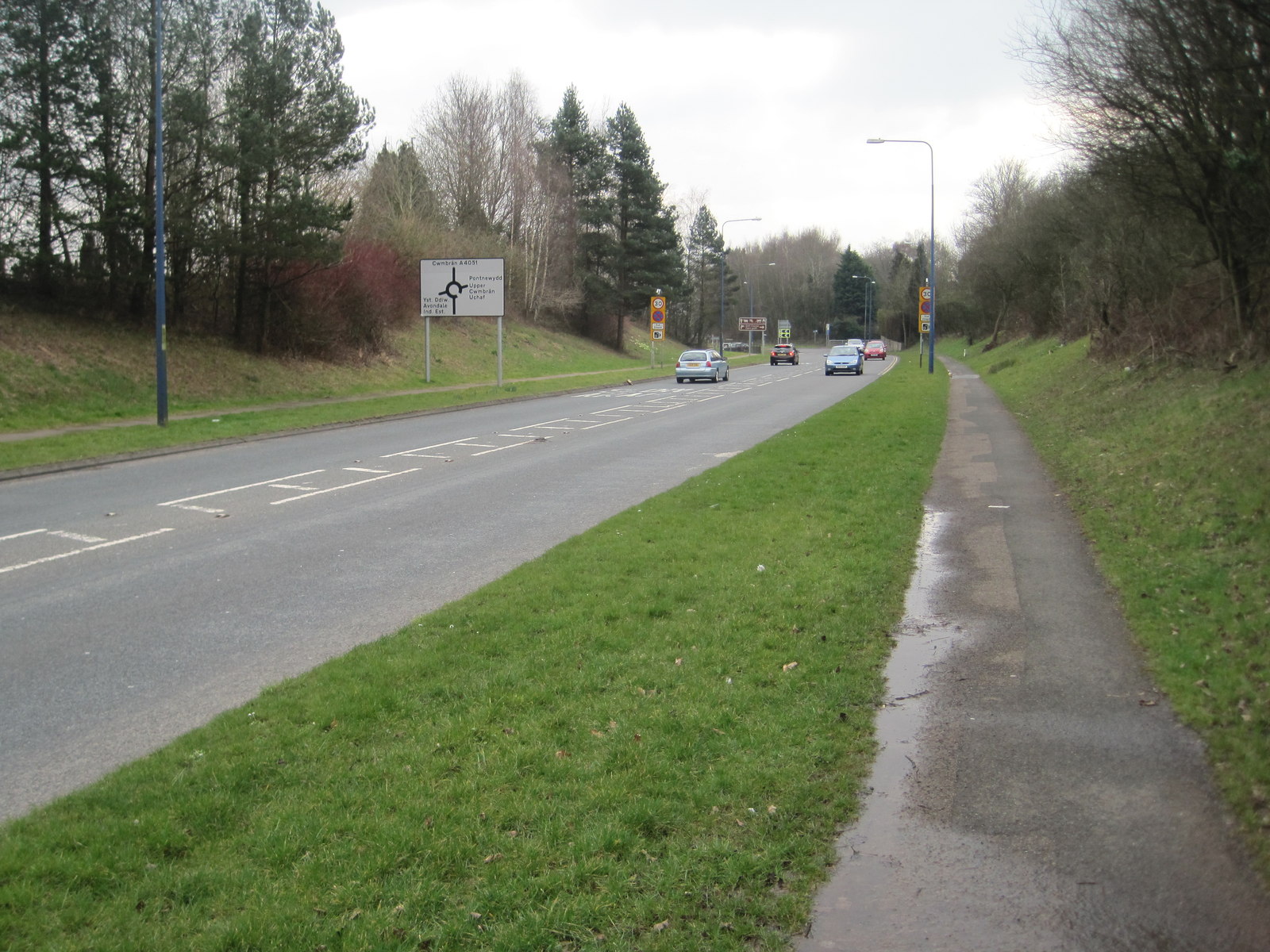
Despite its small size, Lowlands boasts a few amenities to cater to its residents. There is a local convenience store that provides basic necessities, while a charming pub serves as a popular gathering spot for locals. Additionally, the village is well-connected to nearby towns and cities, with regular bus services and good road links.
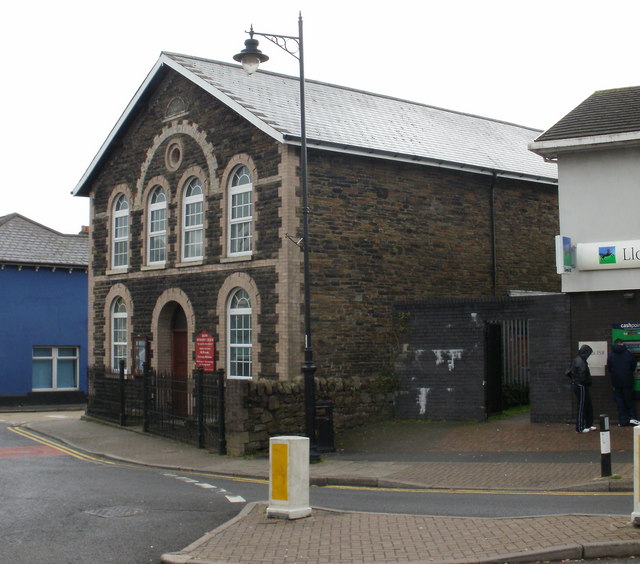
Lowlands is also known for its rich history. The village is home to a medieval church, St. Mary's, which dates back to the 13th century and is renowned for its architectural beauty. History enthusiasts can explore the church and learn about the village's past through its historical artifacts and documents.
Overall, Lowlands offers a peaceful and picturesque retreat for those seeking a rural lifestyle, surrounded by natural beauty and a strong sense of community.
If you have any feedback on the listing, please let us know in the comments section below.
Lowlands Images
Images are sourced within 2km of 51.663061/-3.031422 or Grid Reference ST2896. Thanks to Geograph Open Source API. All images are credited.


Lowlands is located at Grid Ref: ST2896 (Lat: 51.663061, Lng: -3.031422)
Unitary Authority: Torfaen
Police Authority: Gwent
What 3 Words
///tinsel.boom.office. Near Cwmbran, Torfaen
Nearby Locations
Related Wikis
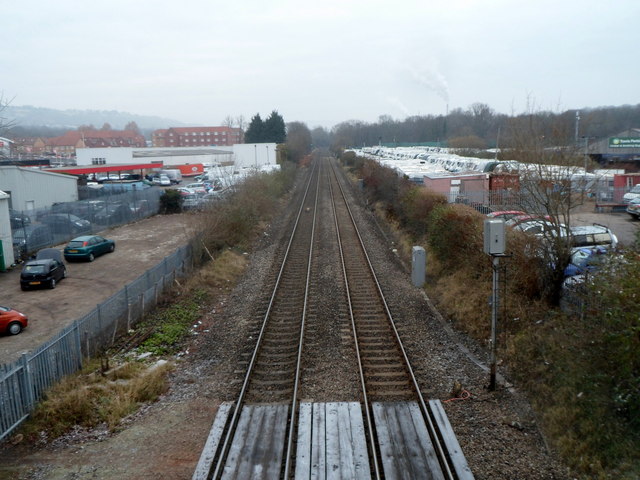
Upper Pontnewydd railway station
Upper Pontnewydd railway station in Pontnewydd village, Cwmbran in Torfaen, South Wales, UK was part of the Monmouthshire Railway and Canal Company's...
Pontnewydd
Pontnewydd is a suburb of Cwmbran in the county borough of Torfaen, south-east Wales. It should not be confused with Pontnewynydd in nearby Pontypool....
Pontrhydyrun Halt railway station
Pontrhydyrun Halt railway station was a railway halt which served the village of Pontrhydyrun near Cwmbran in Torfaen, South Wales, UK. == History == The...
Lower Pontnewydd railway station
Lower Pontnewydd railway station was a railway station in the village of Pontnewydd in Torfaen, South Wales, UK, originally opened by the Pontypool, Caerleon...
Nearby Amenities
Located within 500m of 51.663061,-3.031422Have you been to Lowlands?
Leave your review of Lowlands below (or comments, questions and feedback).