Breil Head
Coastal Feature, Headland, Point in Yorkshire
England
Breil Head
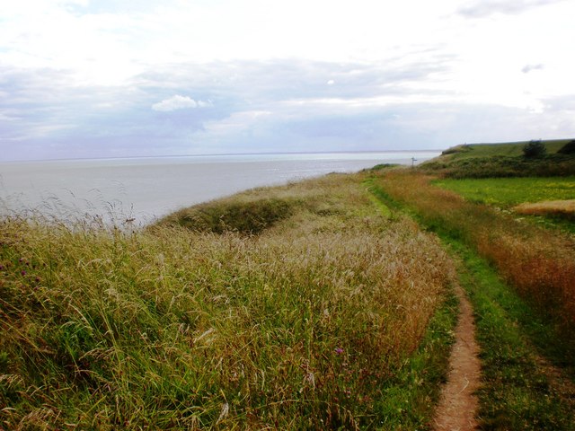
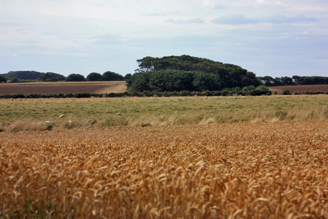
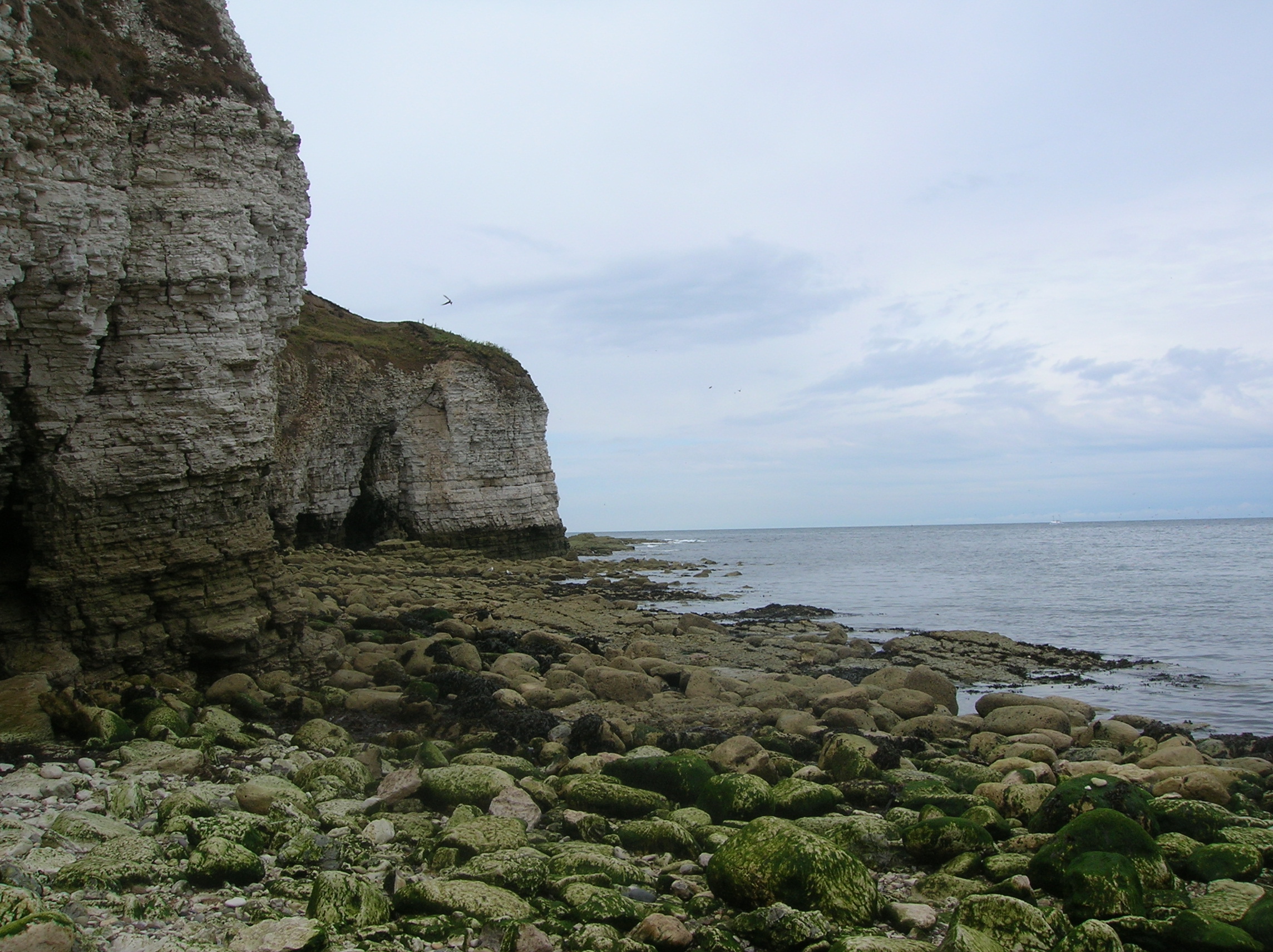
Breil Head is a prominent headland located in Yorkshire, England. Situated along the picturesque Yorkshire coast, this coastal feature is known for its stunning natural beauty and rich geological history.
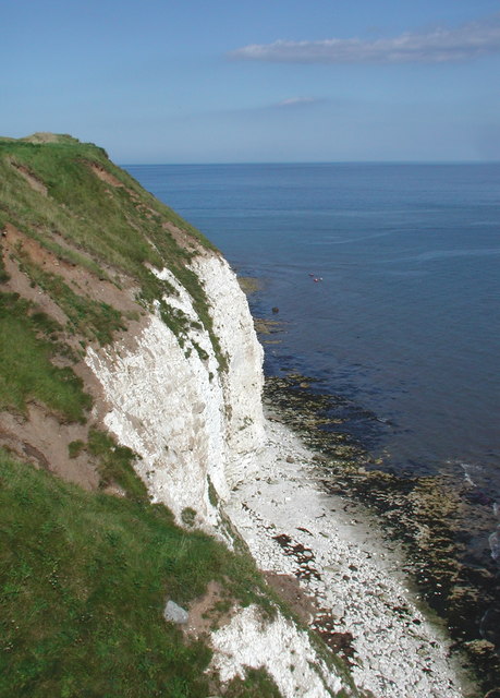
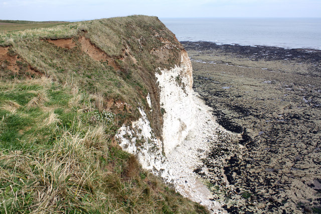
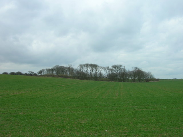
Rising majestically from the North Sea, Breil Head extends out into the water, forming a distinct point that offers breathtaking views of the surrounding landscape. The headland is characterized by rugged cliffs, which are composed of layers of sedimentary rock that have been shaped by the relentless forces of wind and waves over millions of years.
Breil Head is an important site for birdwatchers and nature enthusiasts, as it provides a habitat for a variety of bird species, including puffins, gulls, and cormorants. The headland also serves as a nesting ground for several seabirds, making it an ideal spot for bird-watching and wildlife photography.
In addition to its natural beauty, Breil Head has historical significance as well. It is believed that the headland was once a strategic lookout point during medieval times, providing a vantage point for spotting incoming ships and potential invaders. Today, remnants of an ancient fortification can still be seen, adding to the area's historical charm and allure.
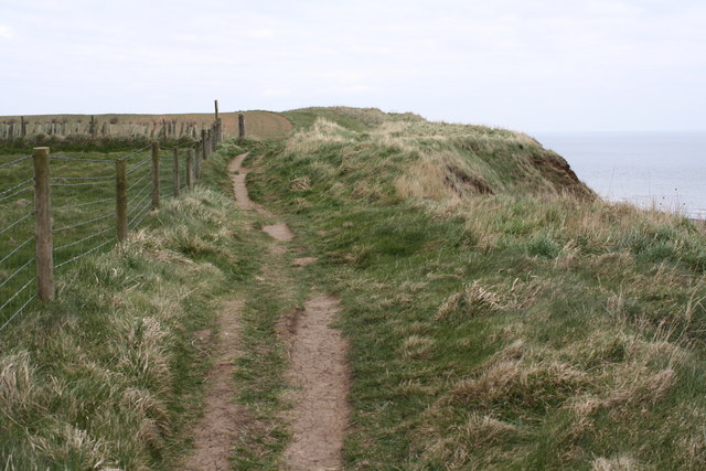
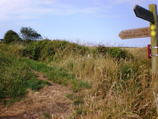
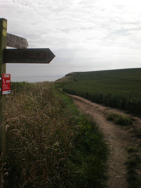
Breil Head is a popular destination for locals and tourists alike, who come to explore its rugged coastline, take long walks along the cliffs, or simply bask in the tranquility of its surroundings. With its stunning vistas, diverse wildlife, and historical significance, Breil Head is undoubtedly a must-visit location for anyone wishing to experience the natural wonders of the Yorkshire coast.
If you have any feedback on the listing, please let us know in the comments section below.
Breil Head Images
Images are sourced within 2km of 54.125221/-0.091006542 or Grid Reference TA2471. Thanks to Geograph Open Source API. All images are credited.


Breil Head is located at Grid Ref: TA2471 (Lat: 54.125221, Lng: -0.091006542)
Division: East Riding
Unitary Authority: East Riding of Yorkshire
Police Authority: Humberside
What 3 Words
///endlessly.mixer.unloads. Near Flamborough, East Yorkshire
Nearby Locations
Related Wikis
Flamborough Head
Flamborough Head () is a promontory, 8 miles (13 km) long on the Yorkshire coast of England, between the Filey and Bridlington bays of the North Sea. It...

Flamborough
Flamborough is a village and civil parish in the East Riding of Yorkshire, England. It is situated approximately 4 miles (6 km) north-east of Bridlington...

Flamborough Lifeboat Station
Flamborough Lifeboat Station is a Royal National Lifeboat Institution (RNLI) lifeboat station located at Flamborough in the East Riding of Yorkshire, England...
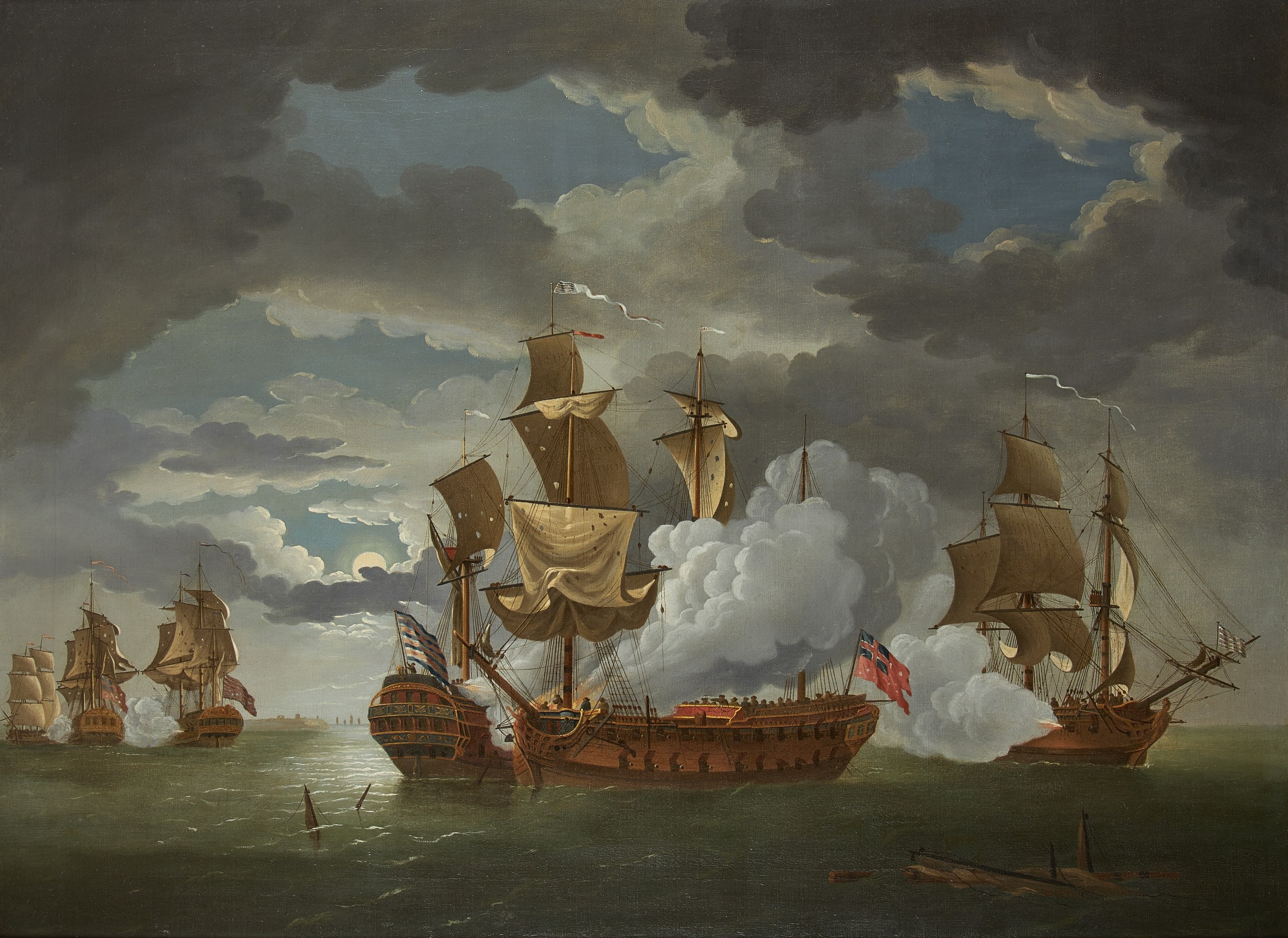
Battle of Flamborough Head
The Battle of Flamborough Head was a naval battle that took place on 23 September 1779 in the North Sea off the coast of Yorkshire between a combined Franco...
Nearby Amenities
Located within 500m of 54.125221,-0.091006542Have you been to Breil Head?
Leave your review of Breil Head below (or comments, questions and feedback).