Queen Rock
Island in Yorkshire
England
Queen Rock
Queen Rock is a small island located in the River Ouse, near the village of Cawood in North Yorkshire, England. With a total area of approximately 0.6 hectares, it is surrounded by picturesque countryside and provides a unique natural setting. The island is accessible via a footbridge, making it an attractive destination for nature enthusiasts and those seeking a peaceful retreat.
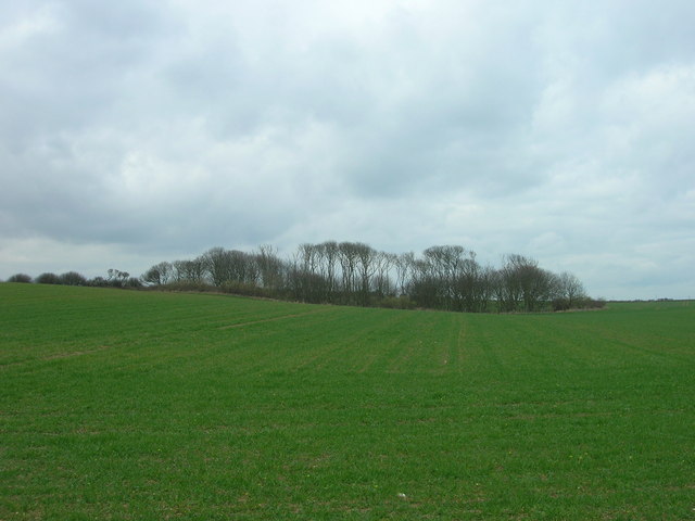
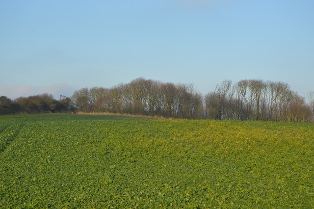
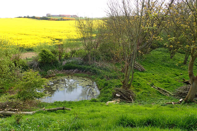
Known for its rock formations and stunning views, Queen Rock offers a diverse range of flora and fauna. The island's vegetation primarily consists of grasses, shrubs, and a variety of trees, including willows and alders. Visitors can often spot various bird species, such as swans, herons, and ducks, that inhabit the surrounding river and wetland areas.
Historically, Queen Rock has played a significant role in the region. It was once used as a landing point for ferry boats, connecting Cawood to nearby areas. The remains of a former stone bridge, dating back to the 18th century, can still be seen on the island. This historical element adds to the island's charm and intrigue.
The island is popular among locals and tourists alike for recreational activities such as picnicking, fishing, and birdwatching. Many visitors enjoy exploring the island's trails and taking in the panoramic views of the surrounding countryside.
In summary, Queen Rock, Yorkshire, is a small island with beautiful rock formations and rich biodiversity. It offers a peaceful escape for nature lovers and provides a glimpse into the region's history.
If you have any feedback on the listing, please let us know in the comments section below.
Queen Rock Images
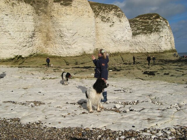
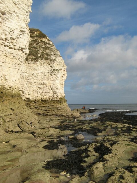
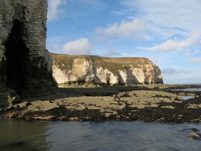
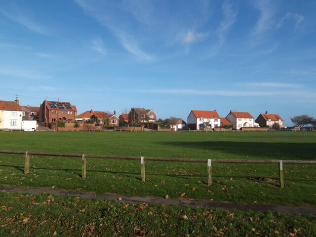
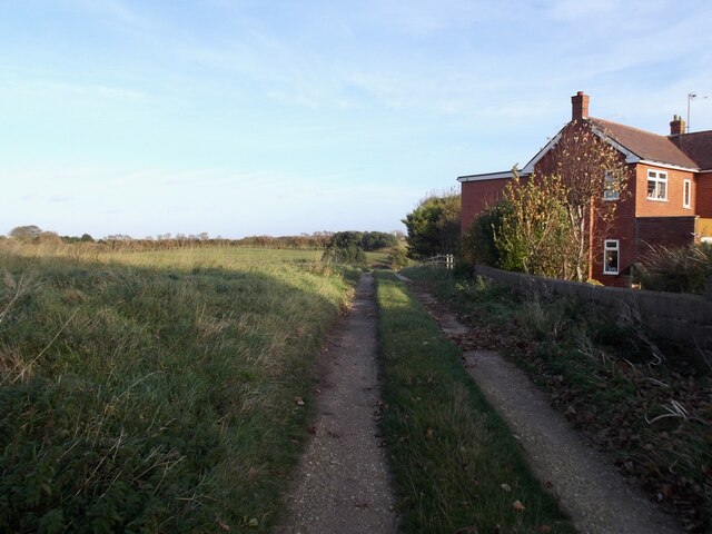
Images are sourced within 2km of 54.127737/-0.095497574 or Grid Reference TA2471. Thanks to Geograph Open Source API. All images are credited.


![Fenced area inside New [or Old] Fall Plantation The map says Old Fall, the owners say New Fall. To protect wildlife, visitors are asked to keep to the inner fenced area, or a separate perimeter path.](https://s2.geograph.org.uk/geophotos/06/83/84/6838450_0d91bf10.jpg)
![Wildlife area, New [or Old] Fall Plantation Looking east from the east end of the fenced [access permitted] area.](https://s2.geograph.org.uk/geophotos/06/83/84/6838454_2bf4042a.jpg)

Queen Rock is located at Grid Ref: TA2471 (Lat: 54.127737, Lng: -0.095497574)
Division: East Riding
Unitary Authority: East Riding of Yorkshire
Police Authority: Humberside
What 3 Words
///humidity.shrub.exits. Near Flamborough, East Yorkshire
Nearby Locations
Related Wikis
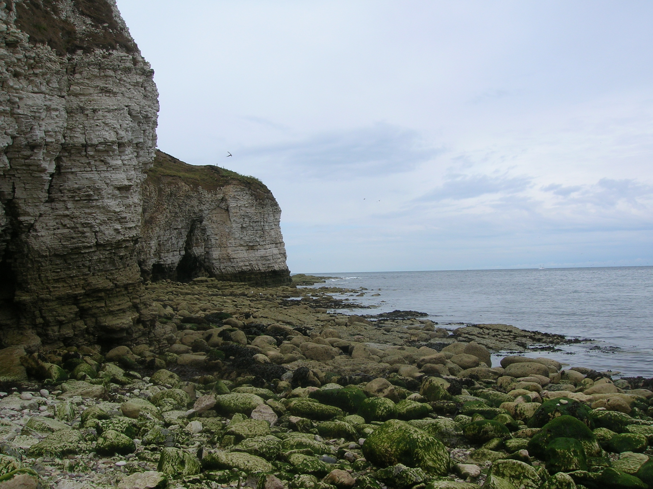
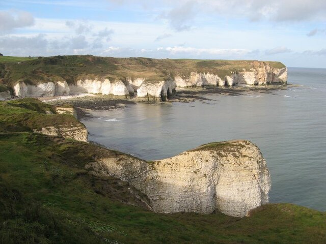
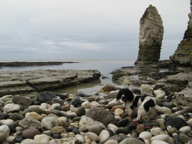
Flamborough Head
Flamborough Head () is a promontory, 8 miles (13 km) long on the Yorkshire coast of England, between the Filey and Bridlington bays of the North Sea. It...

Flamborough
Flamborough is a village and civil parish in the East Riding of Yorkshire, England. It is situated approximately 4 miles (6 km) north-east of Bridlington...

Flamborough Lifeboat Station
Flamborough Lifeboat Station is a Royal National Lifeboat Institution (RNLI) lifeboat station located at Flamborough in the East Riding of Yorkshire, England...

Battle of Flamborough Head
The Battle of Flamborough Head was a naval battle that took place on 23 September 1779 in the North Sea off the coast of Yorkshire between a combined Franco...
Nearby Amenities
Located within 500m of 54.127737,-0.095497574Have you been to Queen Rock?
Leave your review of Queen Rock below (or comments, questions and feedback).