South Breil
Bay in Yorkshire
England
South Breil
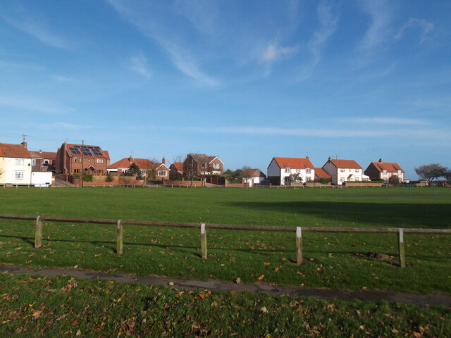
South Breil, Yorkshire (Bay) is a picturesque coastal village located in the county of Yorkshire, England. Situated on the eastern coast, it offers stunning views of the North Sea and is renowned for its natural beauty and charming atmosphere. With a population of around 2,000 residents, it retains a small-town feel while providing all the necessary amenities for both locals and visitors.
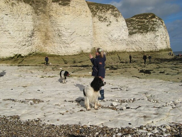
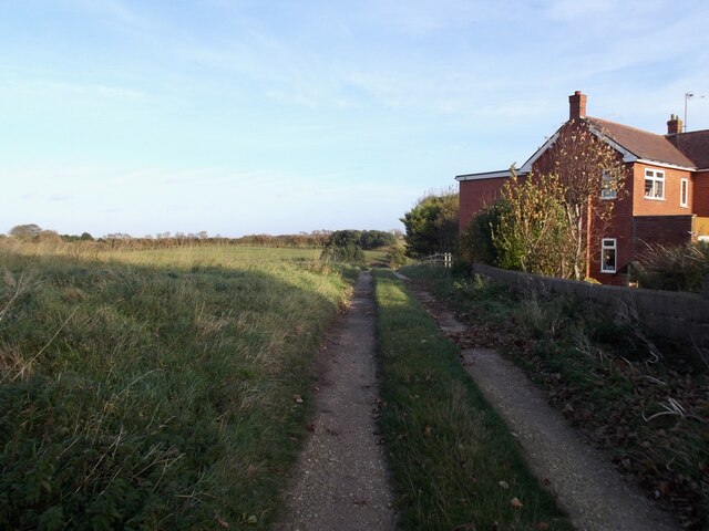
The village is characterized by its historic architecture, with many buildings dating back several centuries. The narrow, winding streets are lined with quaint stone cottages, creating a sense of old-world charm. The centerpiece of the village is the iconic South Breil Bay, a crescent-shaped stretch of sandy beach that attracts tourists and locals alike. The bay is perfect for sunbathing, swimming, and picnicking, and its clear waters are popular among water sports enthusiasts.
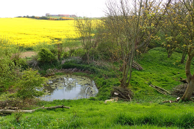
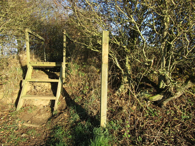
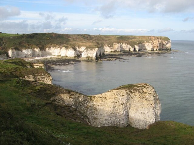
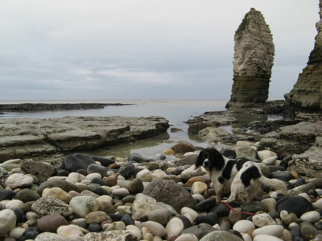
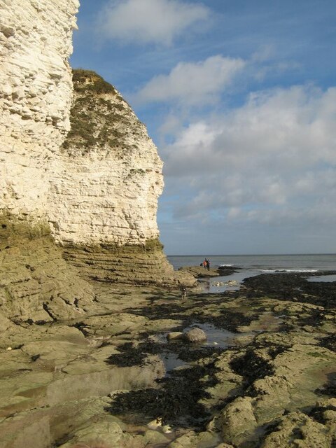
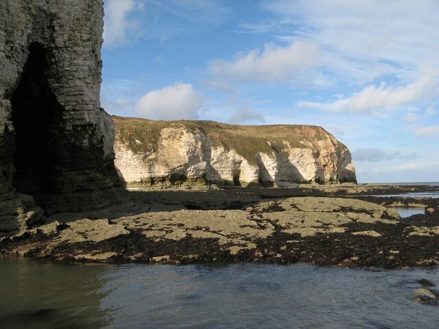
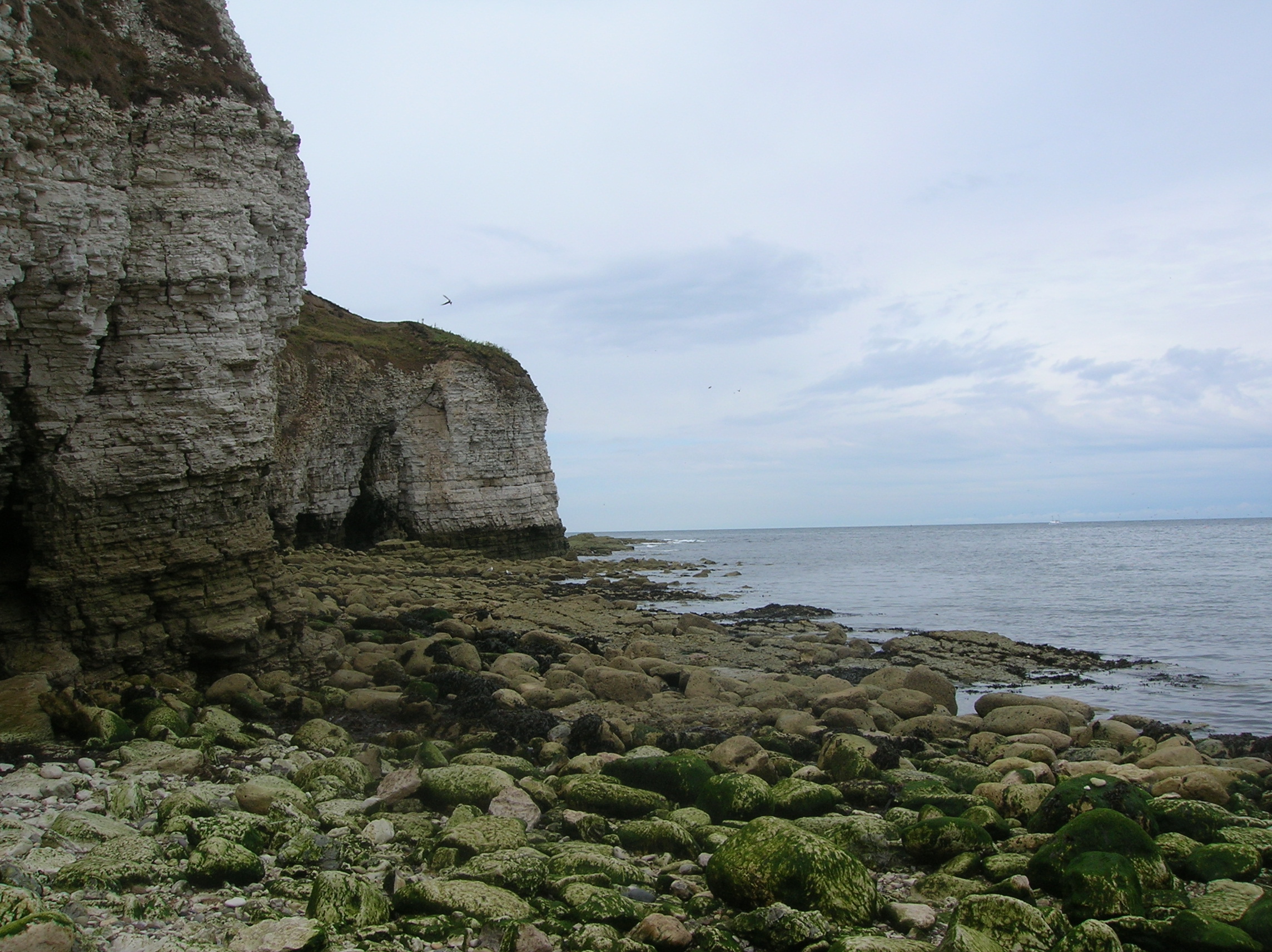
South Breil offers a range of recreational activities and attractions. Nature lovers can explore the nearby South Breil Cliffs, which provide breathtaking vistas of the coastline and are home to a variety of seabirds. The village also boasts several walking and cycling trails, allowing visitors to discover the surrounding countryside. For history enthusiasts, the South Breil Museum showcases the area's rich heritage, including its maritime history and the local fishing industry.
In terms of amenities, South Breil has a selection of charming shops, cafes, and restaurants, serving both traditional Yorkshire fare and international cuisine. The village also has a well-equipped community center and a primary school, providing a strong sense of community for its residents.
Overall, South Breil, Yorkshire (Bay) offers a perfect blend of natural beauty, history, and a welcoming community, making it an ideal destination for both a relaxing getaway and an immersive cultural experience.
If you have any feedback on the listing, please let us know in the comments section below.
South Breil Images
Images are sourced within 2km of 54.127651/-0.095776979 or Grid Reference TA2471. Thanks to Geograph Open Source API. All images are credited.


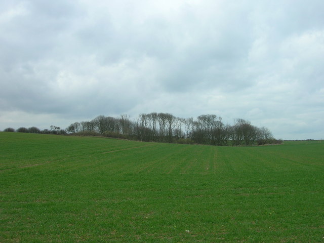
![Fenced area inside New [or Old] Fall Plantation The map says Old Fall, the owners say New Fall. To protect wildlife, visitors are asked to keep to the inner fenced area, or a separate perimeter path.](https://s2.geograph.org.uk/geophotos/06/83/84/6838450_0d91bf10.jpg)
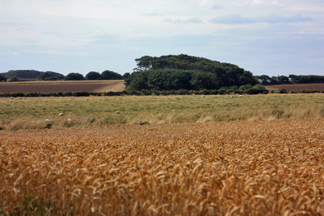
![Wildlife area, New [or Old] Fall Plantation Looking east from the east end of the fenced [access permitted] area.](https://s2.geograph.org.uk/geophotos/06/83/84/6838454_2bf4042a.jpg)

South Breil is located at Grid Ref: TA2471 (Lat: 54.127651, Lng: -0.095776979)
Division: East Riding
Unitary Authority: East Riding of Yorkshire
Police Authority: Humberside
What 3 Words
///quality.responds.clicker. Near Flamborough, East Yorkshire
Nearby Locations
Related Wikis
Flamborough Head
Flamborough Head () is a promontory, 8 miles (13 km) long on the Yorkshire coast of England, between the Filey and Bridlington bays of the North Sea. It...

Flamborough
Flamborough is a village and civil parish in the East Riding of Yorkshire, England. It is situated approximately 4 miles (6 km) north-east of Bridlington...

Flamborough Lifeboat Station
Flamborough Lifeboat Station is a Royal National Lifeboat Institution (RNLI) lifeboat station located at Flamborough in the East Riding of Yorkshire, England...

Battle of Flamborough Head
The Battle of Flamborough Head was a naval battle that took place on 23 September 1779 in the North Sea off the coast of Yorkshire between a combined Franco...
Nearby Amenities
Located within 500m of 54.127651,-0.095776979Have you been to South Breil?
Leave your review of South Breil below (or comments, questions and feedback).