Saddle Nook
Coastal Feature, Headland, Point in Yorkshire
England
Saddle Nook
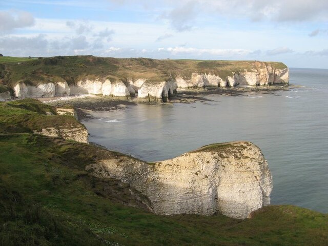
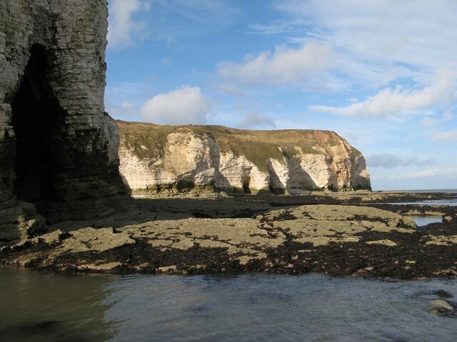
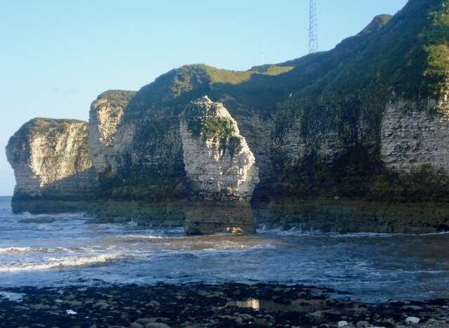
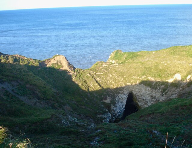
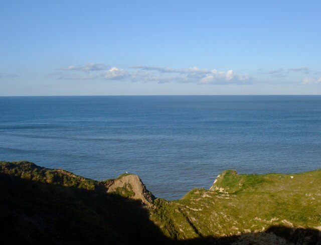
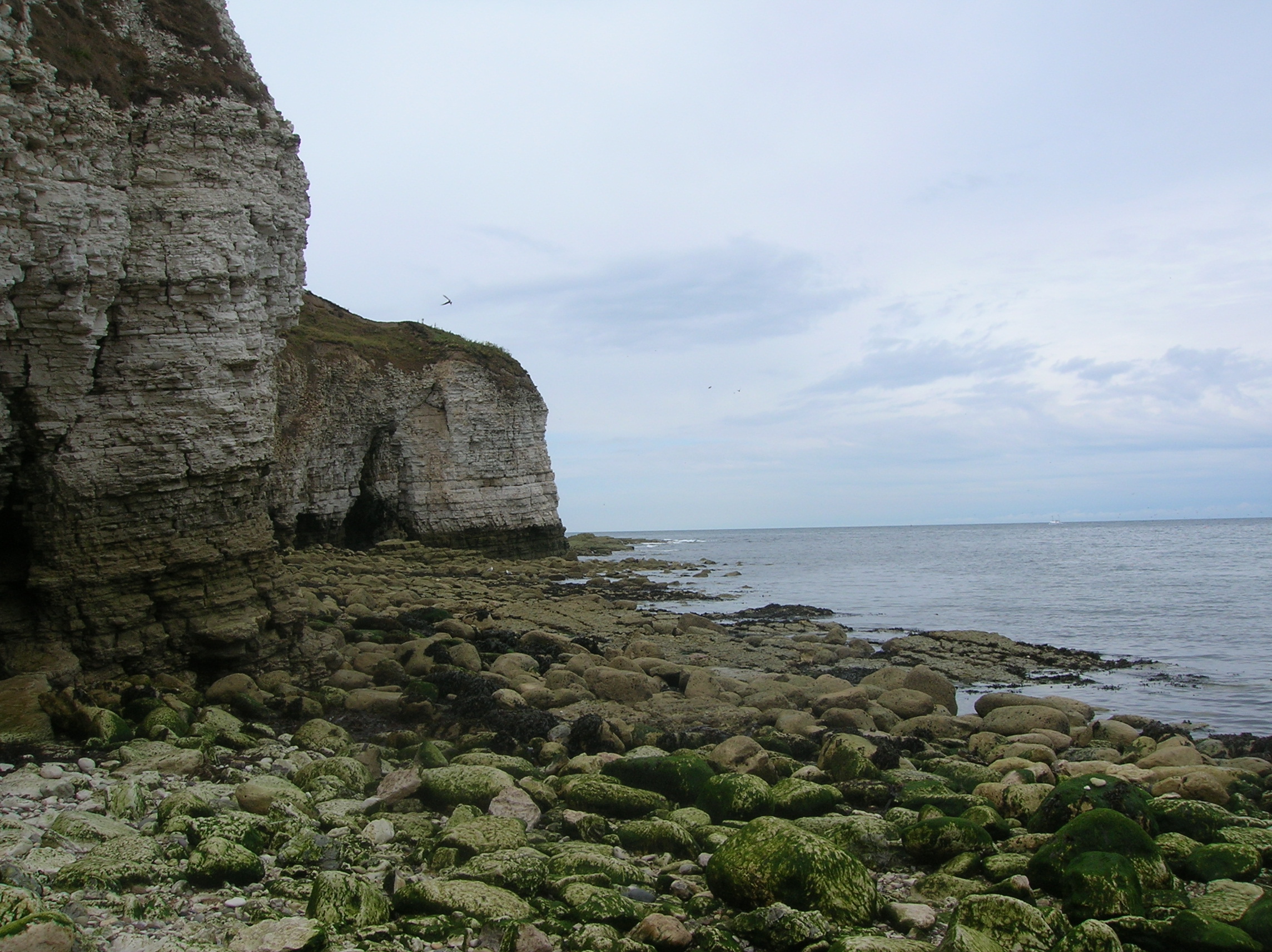
Saddle Nook is a picturesque coastal feature located in Yorkshire, England. Situated on the east coast, it is a prominent headland that juts out into the North Sea. With its stunning cliffs and rugged landscape, Saddle Nook offers breathtaking views of the surrounding coastline.
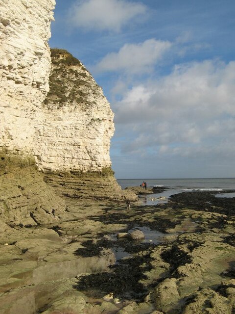
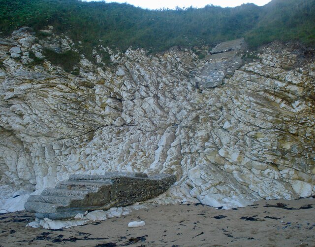
The headland is characterized by its unique geological formation, which gives it the appearance of a saddle, hence its name. The rocky cliffs are composed of layers of sedimentary rocks, including sandstone and limestone, providing a glimpse into the region's geological history.
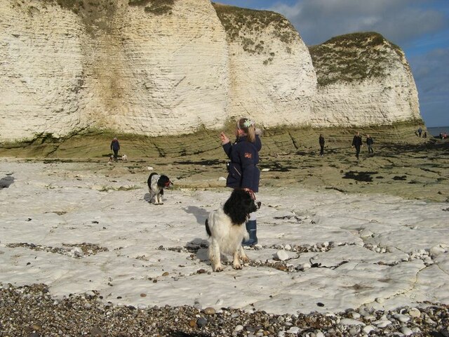
Saddle Nook is a popular destination for nature enthusiasts and hikers due to its diverse flora and fauna. The headland boasts a rich variety of plant life, including sea thrift, wildflowers, and grasses that thrive in the coastal environment. These plants provide habitat and food for a wide range of bird species, making it an ideal spot for birdwatching.
In addition to its natural beauty, Saddle Nook also has historical significance. The headland is home to several ancient archaeological sites, including burial mounds and ancient settlements, which offer insights into the area's human history.
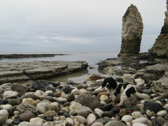
Visitors to Saddle Nook can enjoy various activities, such as hiking along the cliff-top paths, exploring the rock pools at low tide, and taking in the panoramic views of the North Sea. The headland is also a popular spot for fishing and rock climbing, attracting outdoor enthusiasts from near and far.
Overall, Saddle Nook is a captivating coastal feature that combines stunning natural beauty with rich historical and geological significance.
If you have any feedback on the listing, please let us know in the comments section below.
Saddle Nook Images
Images are sourced within 2km of 54.128503/-0.09677865 or Grid Reference TA2471. Thanks to Geograph Open Source API. All images are credited.


Saddle Nook is located at Grid Ref: TA2471 (Lat: 54.128503, Lng: -0.09677865)
Division: East Riding
Unitary Authority: East Riding of Yorkshire
Police Authority: Humberside
What 3 Words
///gasp.rigs.intestine. Near Flamborough, East Yorkshire
Nearby Locations
Related Wikis
Flamborough Head
Flamborough Head () is a promontory, 8 miles (13 km) long on the Yorkshire coast of England, between the Filey and Bridlington bays of the North Sea. It...

Flamborough
Flamborough is a village and civil parish in the East Riding of Yorkshire, England. It is situated approximately 4 miles (6 km) north-east of Bridlington...

Flamborough Lifeboat Station
Flamborough Lifeboat Station is a Royal National Lifeboat Institution (RNLI) lifeboat station located at Flamborough in the East Riding of Yorkshire, England...
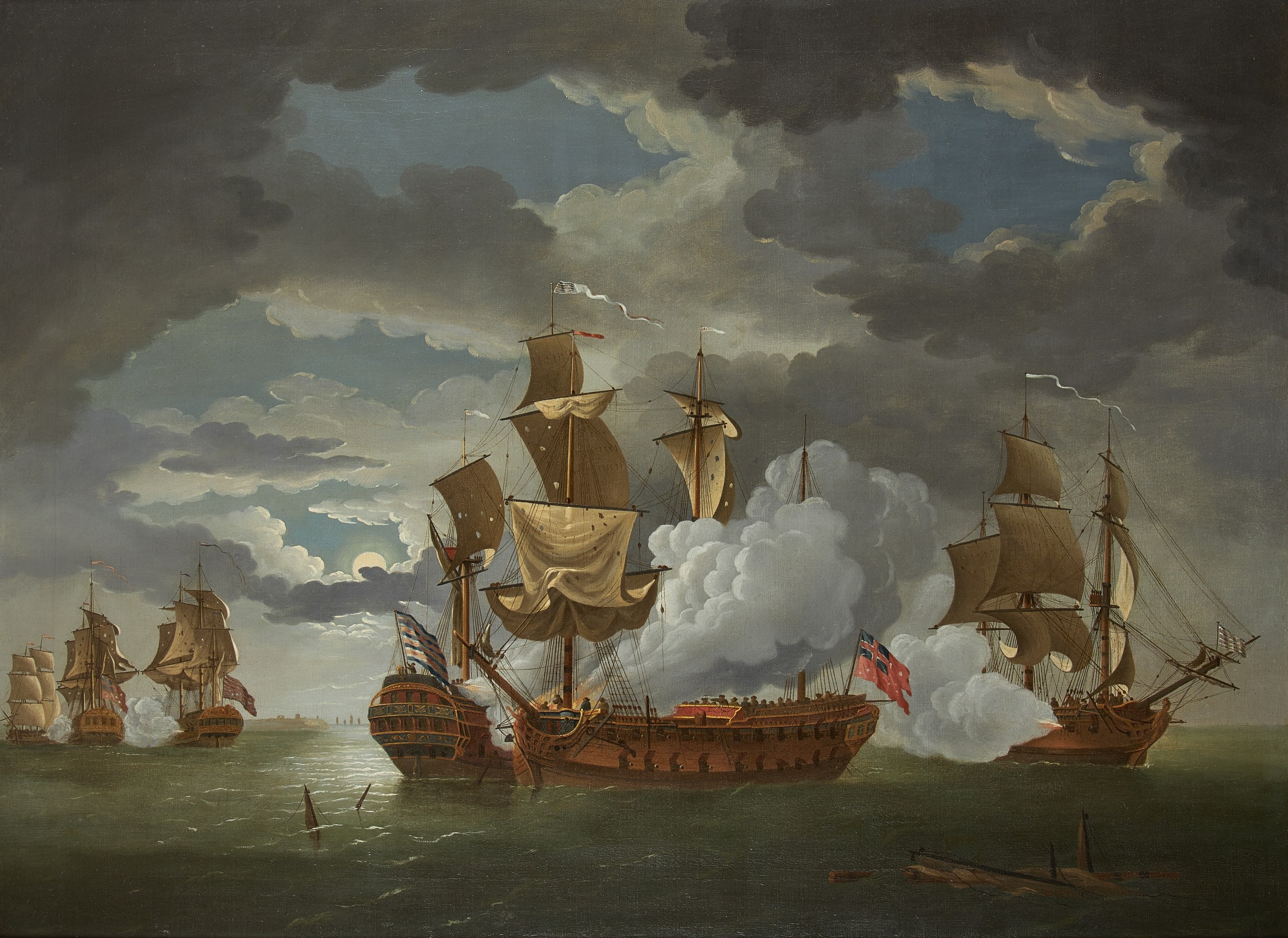
Battle of Flamborough Head
The Battle of Flamborough Head was a naval battle that took place on 23 September 1779 in the North Sea off the coast of Yorkshire between a combined Franco...
Nearby Amenities
Located within 500m of 54.128503,-0.09677865Have you been to Saddle Nook?
Leave your review of Saddle Nook below (or comments, questions and feedback).