Carter Lane
Coastal Feature, Headland, Point in Yorkshire
England
Carter Lane
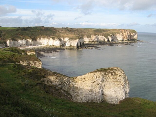
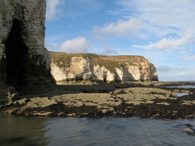
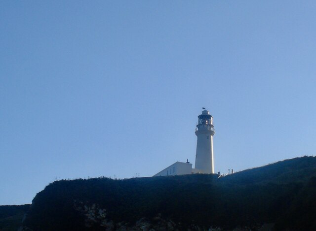
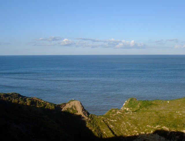
Carter Lane is a prominent headland located on the Yorkshire coastline, in Northern England. It is situated in the county of Yorkshire, specifically on the eastern coast, near the town of Whitby. This coastal feature is well-known for its picturesque views and unique geological formations.
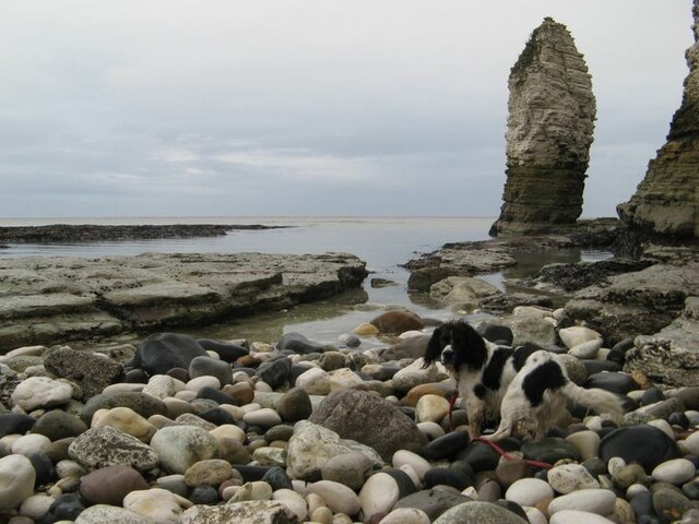
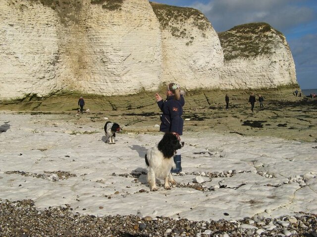
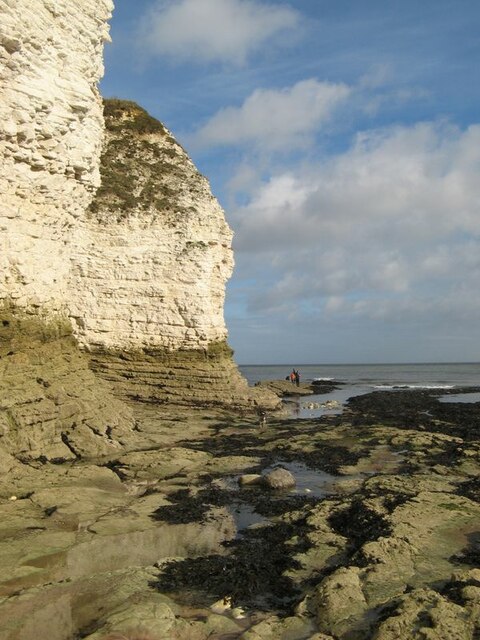
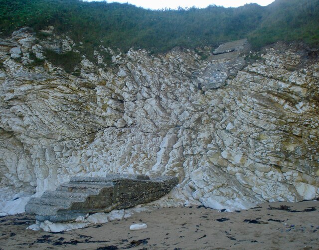
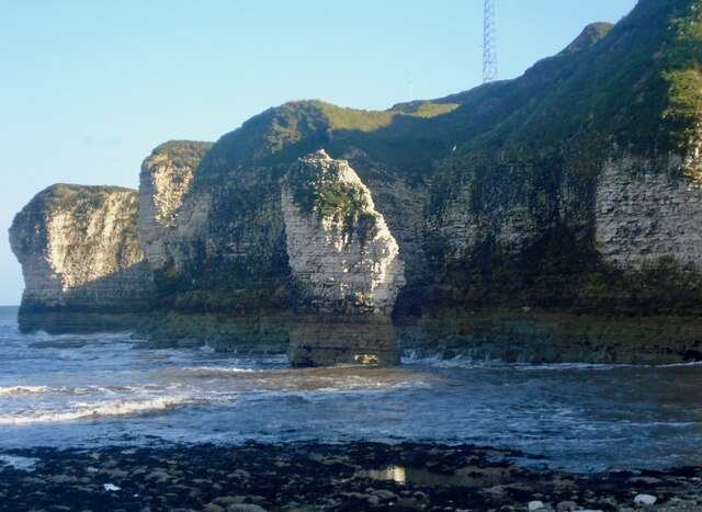
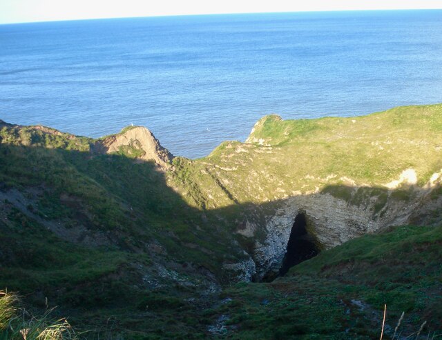
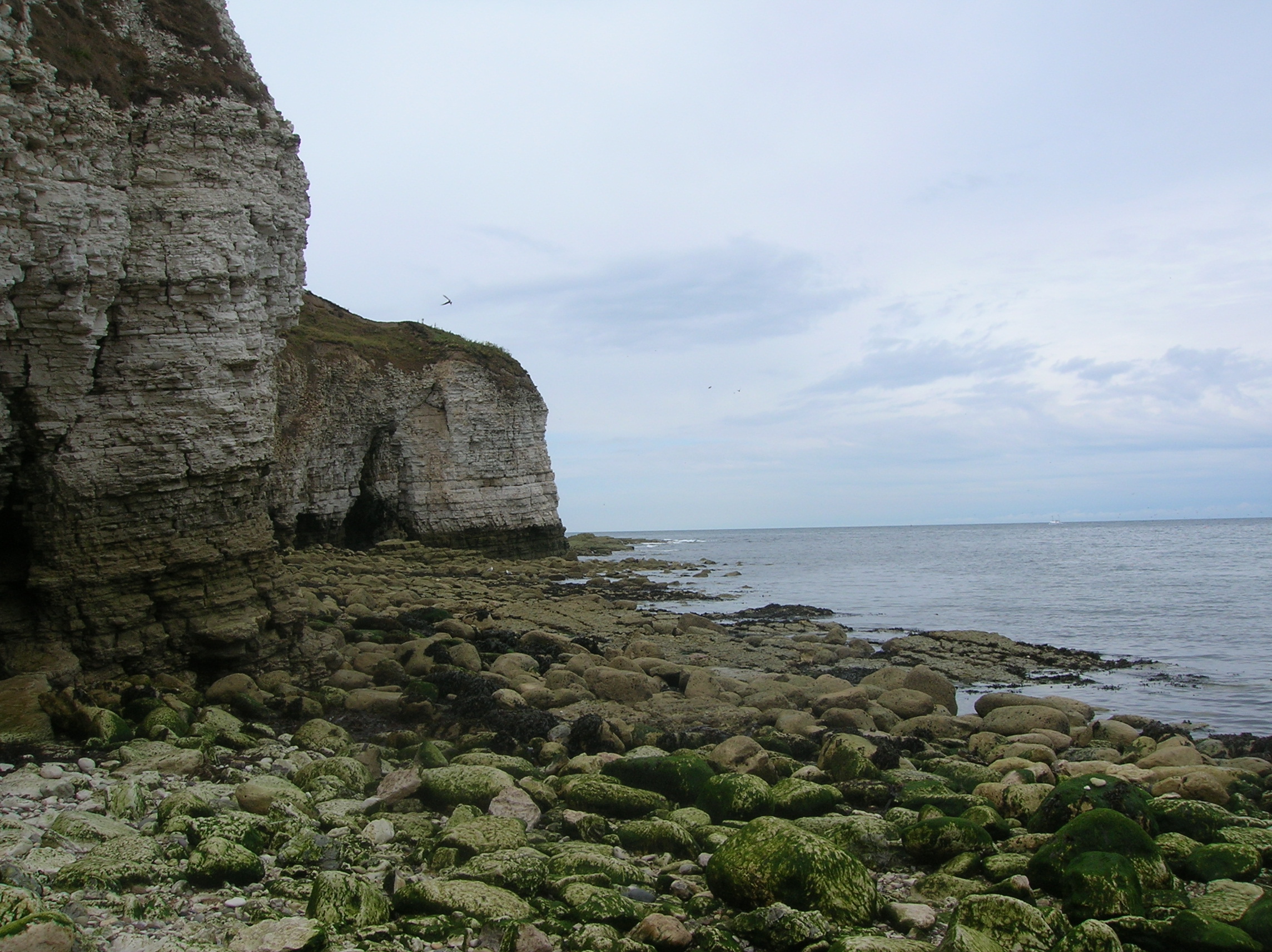
Carter Lane juts out into the North Sea, creating a distinctive point that offers stunning panoramic vistas of the surrounding area. The headland is characterized by its rugged cliffs, which rise steeply from the shoreline to heights of around 100 meters. The cliffs are composed of layers of sedimentary rock, displaying a fascinating geological history.
The headland is also renowned for its abundance of wildlife. The cliffs provide nesting grounds for various seabirds, including puffins, gulls, and kittiwakes. Visitors to Carter Lane can often spot these birds perched on the ledges or soaring overhead. The surrounding waters are home to a variety of marine life, such as seals and dolphins, which can occasionally be seen swimming close to the shore.
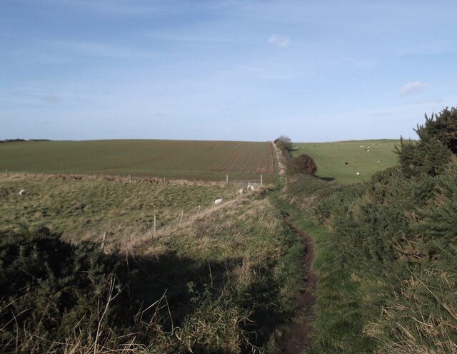
Carter Lane attracts a significant number of tourists and nature enthusiasts due to its natural beauty and accessibility. There are well-maintained footpaths and viewpoints along the headland, allowing visitors to explore and experience the stunning coastal scenery. Additionally, the headland offers opportunities for outdoor activities such as hiking, birdwatching, and photography.
In conclusion, Carter Lane in Yorkshire is a captivating headland on the Yorkshire coast. With its towering cliffs, diverse wildlife, and breathtaking views, it is a must-visit destination for anyone seeking to immerse themselves in the natural splendor of the Yorkshire coastline.
If you have any feedback on the listing, please let us know in the comments section below.
Carter Lane Images
Images are sourced within 2km of 54.12906/-0.097916296 or Grid Reference TA2472. Thanks to Geograph Open Source API. All images are credited.


Carter Lane is located at Grid Ref: TA2472 (Lat: 54.12906, Lng: -0.097916296)
Division: East Riding
Unitary Authority: East Riding of Yorkshire
Police Authority: Humberside
What 3 Words
///figure.tadpoles.sunset. Near Flamborough, East Yorkshire
Nearby Locations
Related Wikis
Flamborough Head
Flamborough Head () is a promontory, 8 miles (13 km) long on the Yorkshire coast of England, between the Filey and Bridlington bays of the North Sea. It...

Flamborough
Flamborough is a village and civil parish in the East Riding of Yorkshire, England. It is situated approximately 4 miles (6 km) north-east of Bridlington...

Flamborough Lifeboat Station
Flamborough Lifeboat Station is a Royal National Lifeboat Institution (RNLI) lifeboat station located at Flamborough in the East Riding of Yorkshire, England...
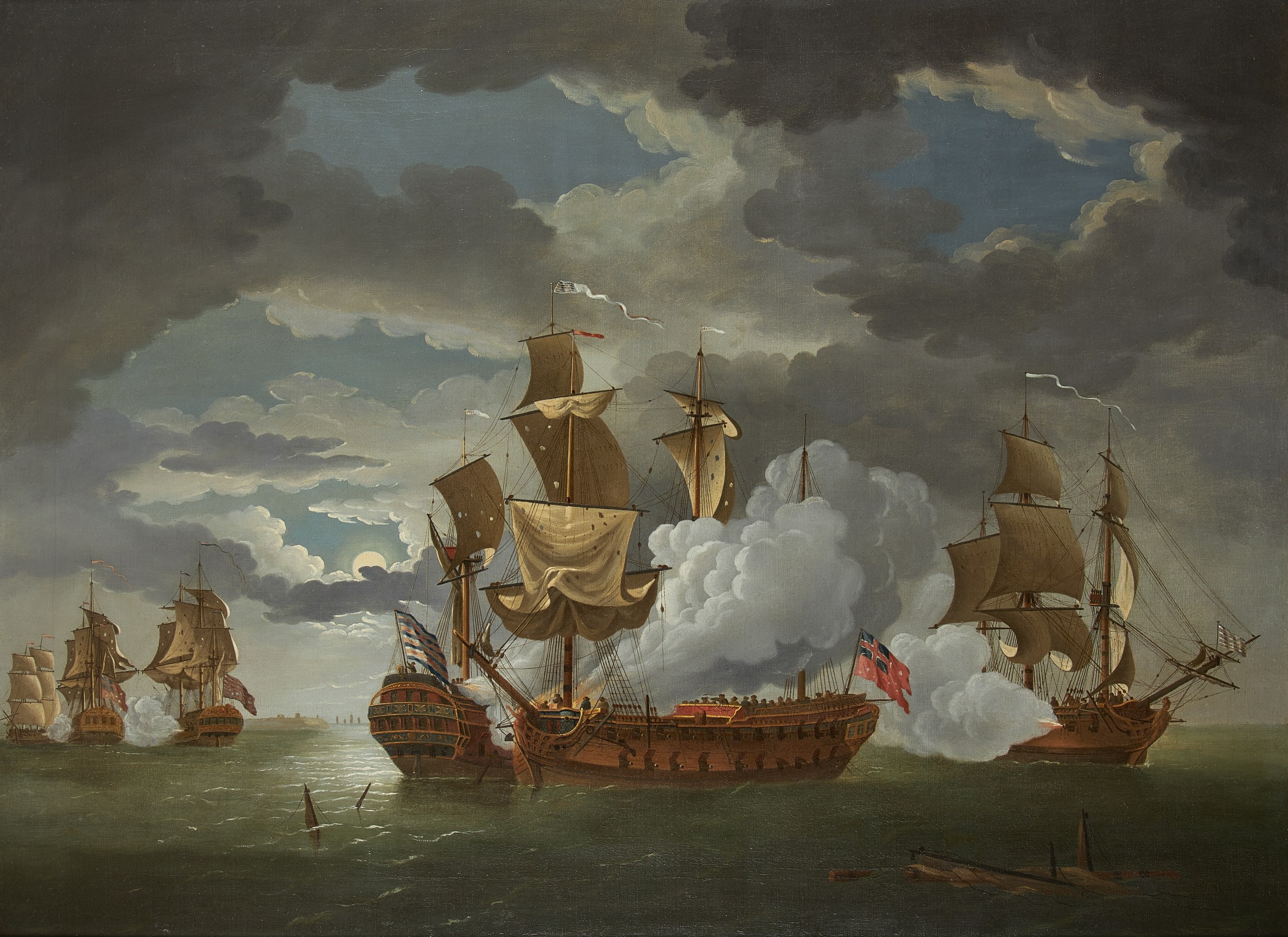
Battle of Flamborough Head
The Battle of Flamborough Head was a naval battle that took place on 23 September 1779 in the North Sea off the coast of Yorkshire between a combined Franco...
Nearby Amenities
Located within 500m of 54.12906,-0.097916296Have you been to Carter Lane?
Leave your review of Carter Lane below (or comments, questions and feedback).