Petrel Hole
Coastal Feature, Headland, Point in Yorkshire
England
Petrel Hole
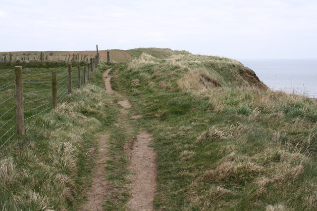
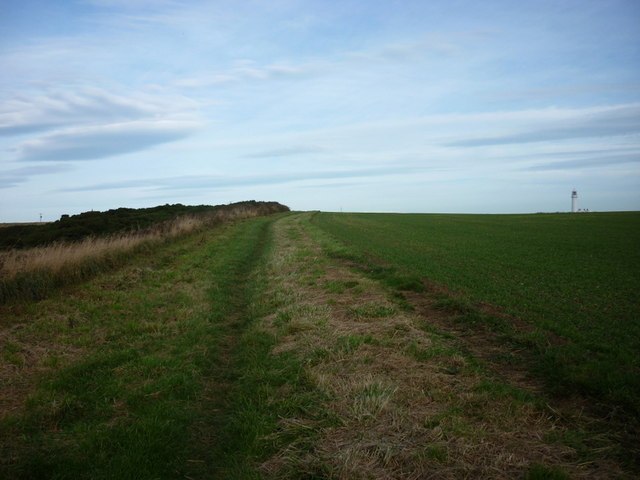
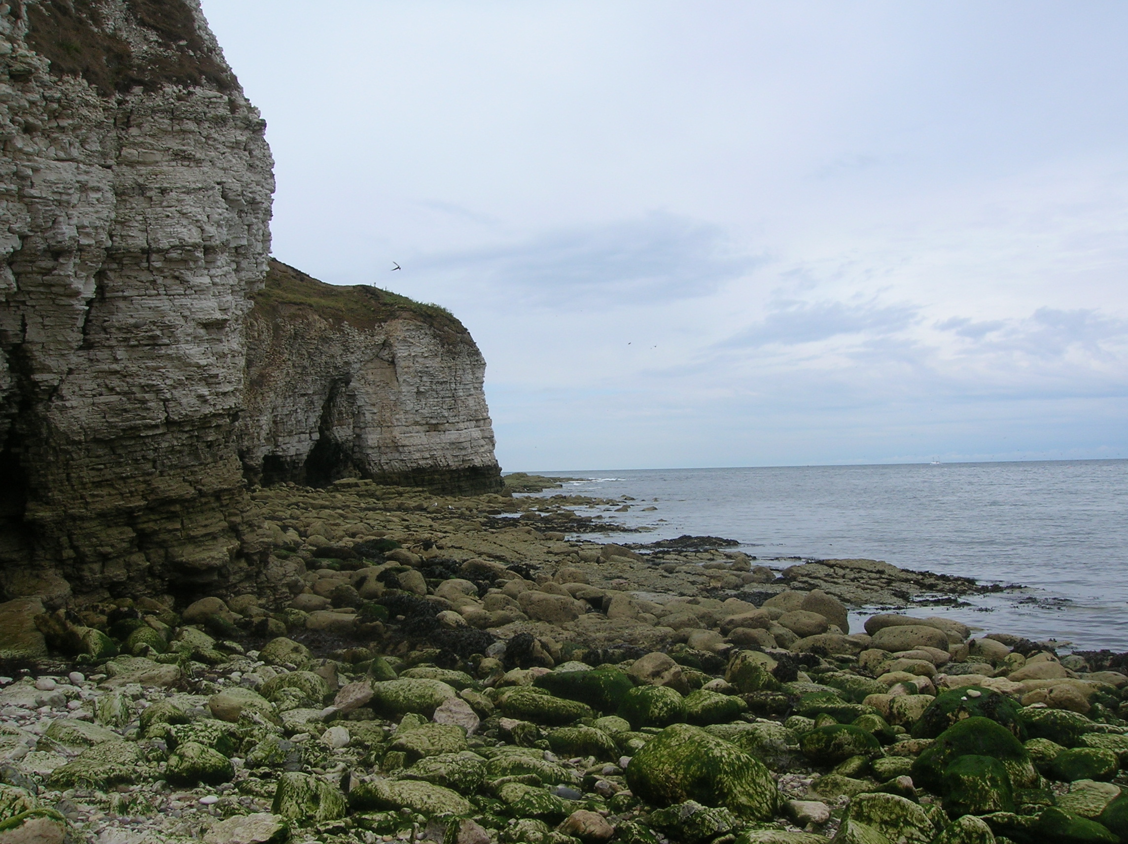
Petrel Hole is a captivating coastal feature located in Yorkshire, England. Situated on the eastern coast, it is a prominent headland that juts out into the North Sea. This stunning point attracts locals and tourists alike due to its unique geological characteristics and scenic beauty.
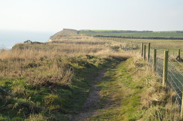
The headland of Petrel Hole is composed of rugged cliffs made of sedimentary rock, which have been shaped by years of erosion from the relentless waves of the North Sea. These cliffs tower above the water, offering breathtaking panoramic views of the coastline. The exposed rocks reveal layers of different geological formations, providing insight into the area's ancient history.
The name "Petrel Hole" is believed to have originated from the abundance of petrels that inhabit the area. These seabirds are often seen gracefully soaring above the cliffs and nesting in the crevices of the rocks. Their presence adds to the charm and natural appeal of the location.
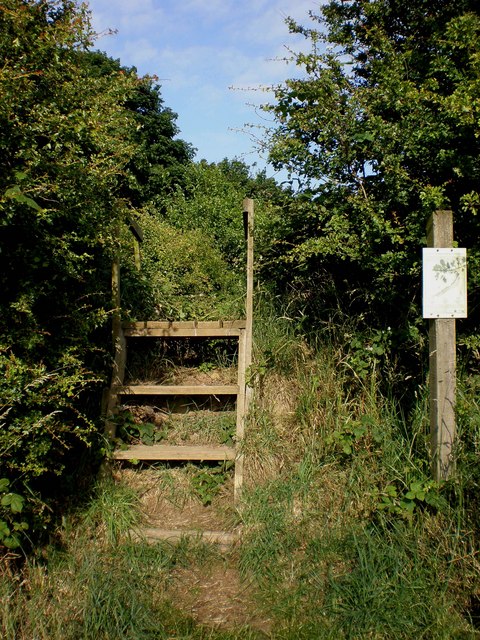
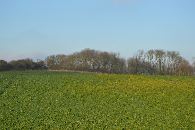
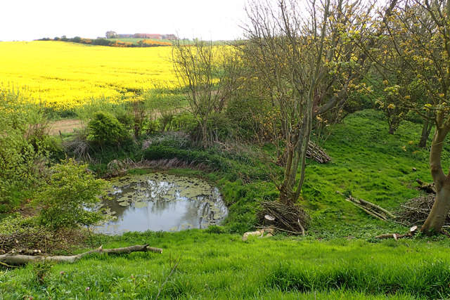
Petrel Hole is also a popular spot for outdoor enthusiasts and nature lovers. The headland offers ample opportunities for coastal walks and hikes, allowing visitors to explore the diverse flora and fauna that thrive in this coastal habitat. The area is home to various species of seabirds, including gulls, cormorants, and puffins, making it a haven for birdwatchers.
Additionally, Petrel Hole's proximity to the sea makes it a hotspot for water sports such as surfing, kayaking, and fishing. The crashing waves and strong currents provide an exhilarating experience for adventure seekers.
Overall, Petrel Hole in Yorkshire is a captivating coastal feature that showcases the raw beauty of nature. Its stunning cliffs, diverse wildlife, and array of recreational activities make it a must-visit destination for anyone exploring the Yorkshire coast.
If you have any feedback on the listing, please let us know in the comments section below.
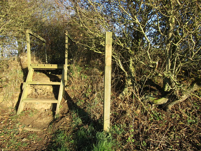
Petrel Hole Images
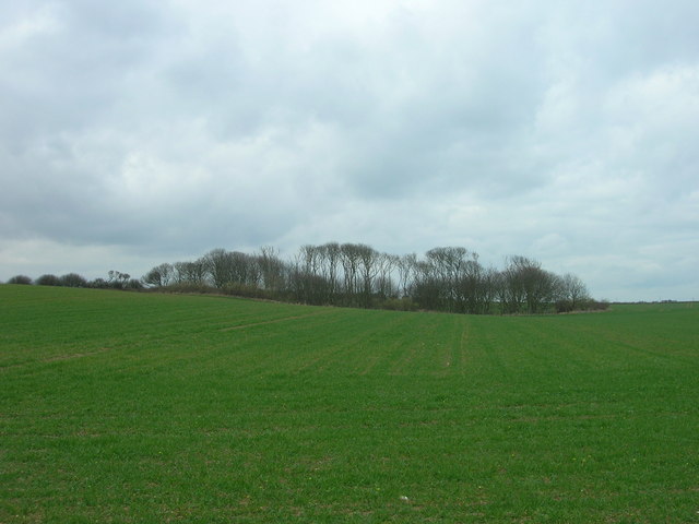
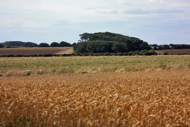
Images are sourced within 2km of 54.127256/-0.094065711 or Grid Reference TA2471. Thanks to Geograph Open Source API. All images are credited.


Petrel Hole is located at Grid Ref: TA2471 (Lat: 54.127256, Lng: -0.094065711)
Division: East Riding
Unitary Authority: East Riding of Yorkshire
Police Authority: Humberside
What 3 Words
///repeat.like.loft. Near Flamborough, East Yorkshire
Nearby Locations
Related Wikis
Flamborough Head
Flamborough Head () is a promontory, 8 miles (13 km) long on the Yorkshire coast of England, between the Filey and Bridlington bays of the North Sea. It...

Flamborough
Flamborough is a village and civil parish in the East Riding of Yorkshire, England. It is situated approximately 4 miles (6 km) north-east of Bridlington...

Flamborough Lifeboat Station
Flamborough Lifeboat Station is a Royal National Lifeboat Institution (RNLI) lifeboat station located at Flamborough in the East Riding of Yorkshire, England...
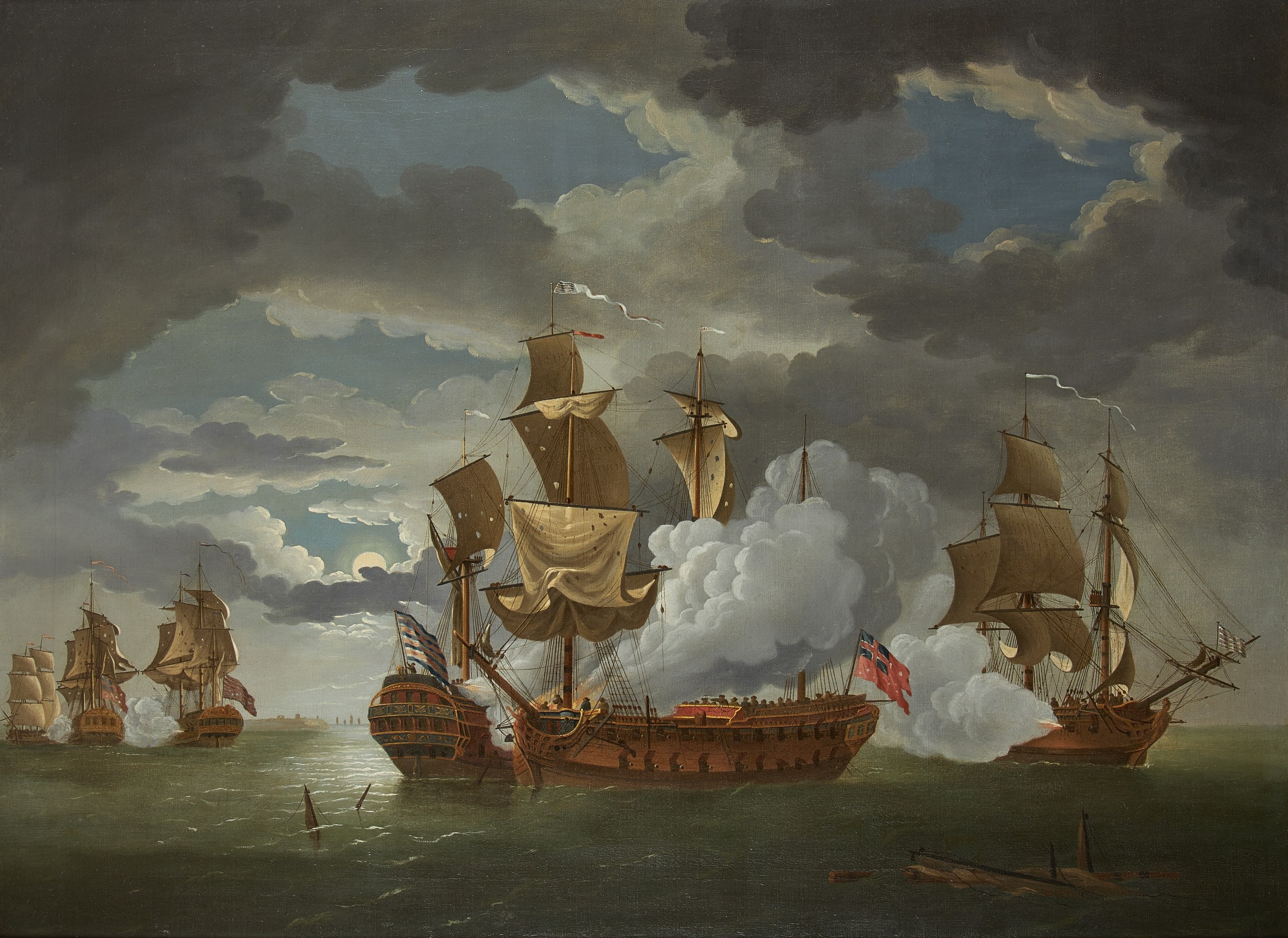
Battle of Flamborough Head
The Battle of Flamborough Head was a naval battle that took place on 23 September 1779 in the North Sea off the coast of Yorkshire between a combined Franco...
Nearby Amenities
Located within 500m of 54.127256,-0.094065711Have you been to Petrel Hole?
Leave your review of Petrel Hole below (or comments, questions and feedback).