Breil

Coastal Feature, Headland, Point in Yorkshire

England

Breil

Old Fall Plantation Taken from the Headland Way coastal path
Old Fall Plantation Credit: JThomas

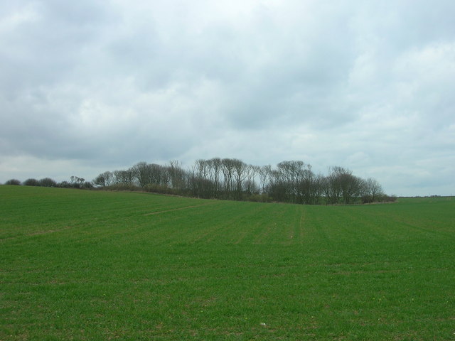
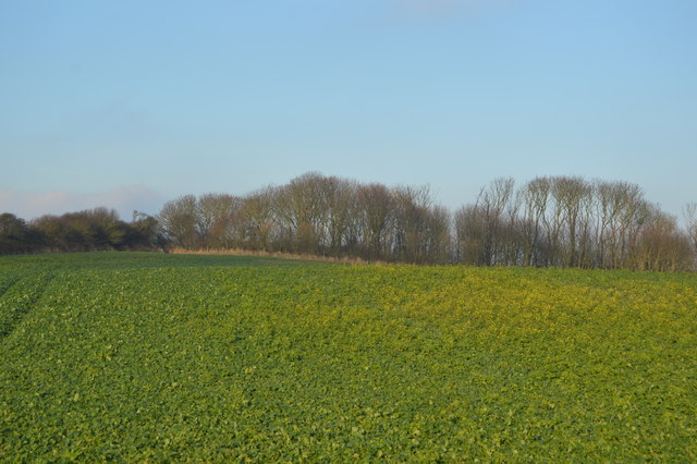
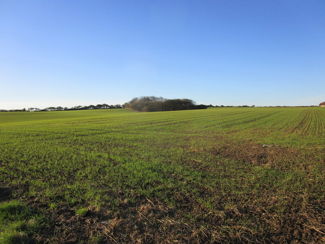
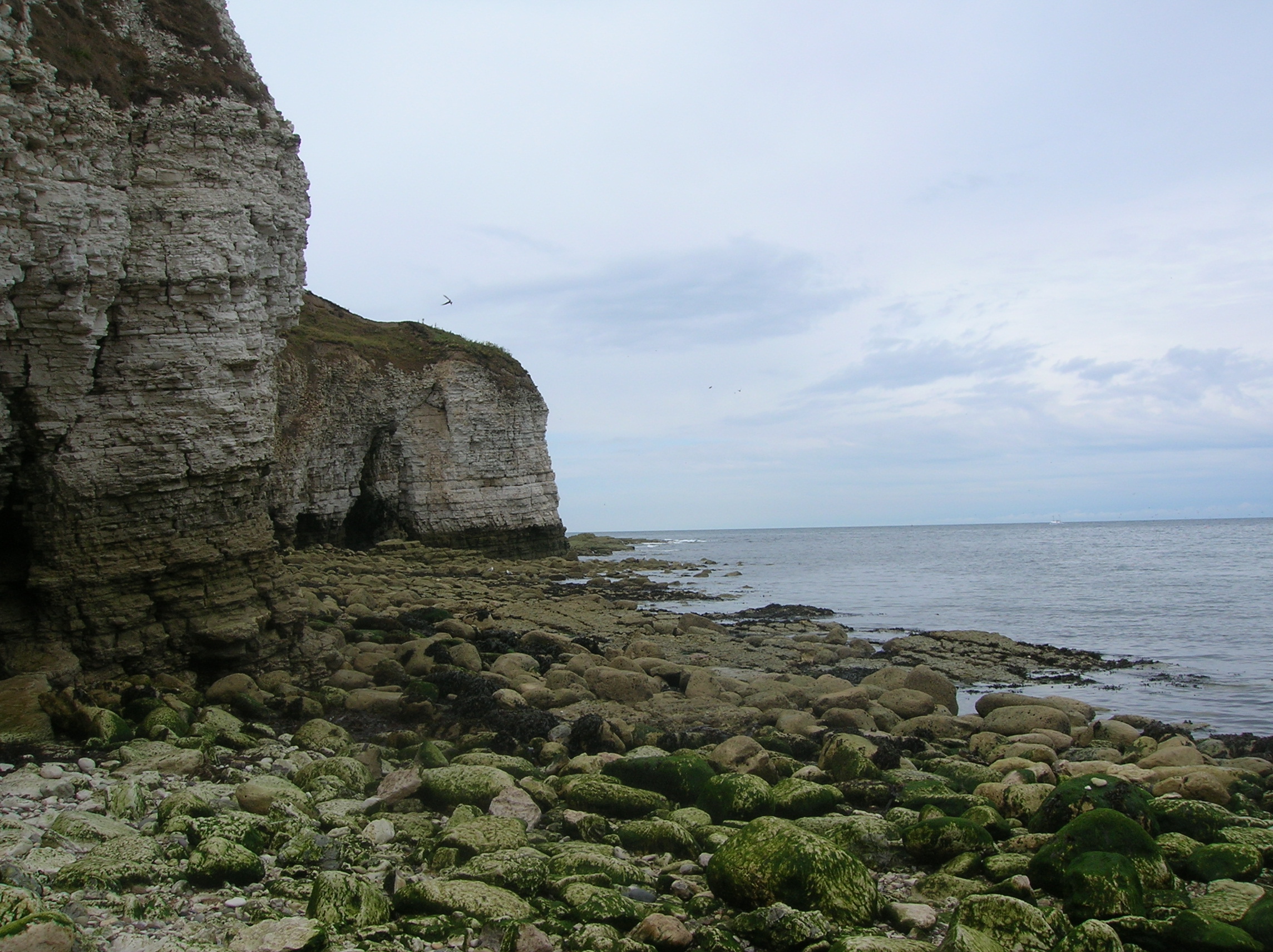
Breil is a prominent headland located on the Yorkshire coast in England. Situated on the eastern side of the country, it forms a natural boundary between the North Sea and the land. Breil is characterized by its stunning cliffs, which rise dramatically from the sea, providing breathtaking views of the surrounding area.

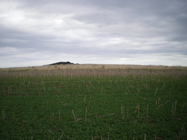
The headland is composed of layers of sedimentary rocks, including sandstone and shale, which have been shaped by the powerful forces of erosion over millions of years. These geological formations create a rugged and picturesque landscape that attracts visitors from near and far.

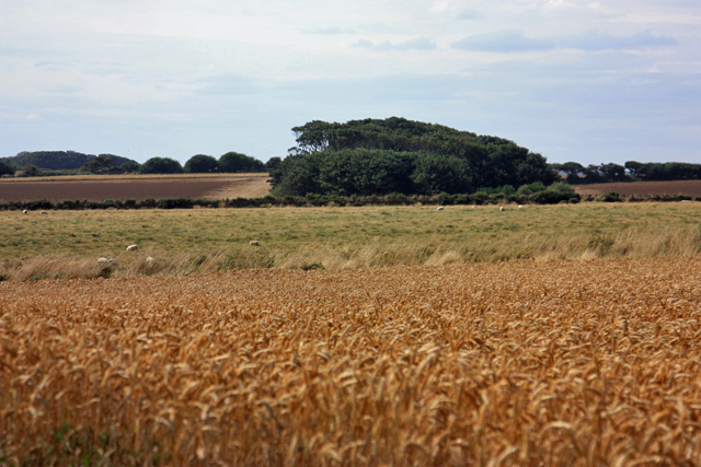
Breil is known for its diverse wildlife and is home to a variety of seabirds, including gulls, puffins, and kittiwakes. The nearby waters are also rich in marine life, making it a popular destination for fishing enthusiasts.

In addition to its natural beauty, Breil holds historical significance. It has been a strategic location for centuries, with evidence of human activity dating back to the Neolithic era. The headland was once occupied by a medieval castle, which served as a defensive stronghold against invasions from the sea.

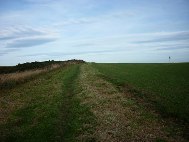
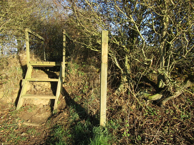
Today, Breil offers a range of recreational activities for both locals and tourists. Visitors can explore the headland on foot, following the well-maintained coastal paths that provide access to viewpoints and hidden coves. The area is also popular for outdoor pursuits such as rock climbing and birdwatching.

Overall, Breil is a captivating coastal feature that showcases the raw power of nature and offers a blend of natural beauty, wildlife, and historical significance.

If you have any feedback on the listing, please let us know in the comments section below.

Breil Images

Images are sourced within 2km of 54.127565/-0.093163842 or Grid Reference TA2471. Thanks to Geograph Open Source API. All images are credited.
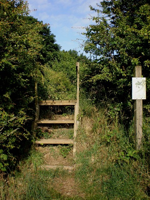
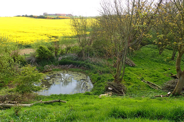
Old Fall Plantation Taken from the Headland Way coastal path
Old Fall Plantation
Taken from the Headland Way coastal path
Conservation Walk access at Old Fall Plantation This shows the start of the circular route track of a conservation walk through Old Fall Plantation and is accessed from the footpath from New Fall to Lighthouse Road.
Conservation Walk access at Old Fall Plantation
This shows the start of the circular route track of a conservation walk through Old Fall Plantation and is accessed from the footpath from New Fall to Lighthouse Road.
Old Fall Plantation, Flamborough Looking towards Old Fall Plantation from the coastal path to Flamborough Head.
Old Fall Plantation, Flamborough
Looking towards Old Fall Plantation from the coastal path to Flamborough Head.
Towards Old Fall plantation The well drained soil on Flamborough Head is very fertile.  The immediate field of wheat is ready for harvest, and in the next field the sheep were quite content.  Next to the plantation, the harvest was already gathered and the soil was being prepared for the next planting.
Towards Old Fall plantation
The well drained soil on Flamborough Head is very fertile. The immediate field of wheat is ready for harvest, and in the next field the sheep were quite content. Next to the plantation, the harvest was already gathered and the soil was being prepared for the next planting.
Towards Head Farm This is a touch west of north, and the (new) lighthouse can be seen over the wheat.
Towards Head Farm
This is a touch west of north, and the (new) lighthouse can be seen over the wheat.
The Headland Way This view is west towards Danes' Dyke.
The Headland Way
This view is west towards Danes' Dyke.
Old Fall plantation The plantation is seen here from the clifftop path (The Headland Way) across ploughed and planted fields.  The tower of the old lighthouse is also visible.
Old Fall plantation
The plantation is seen here from the clifftop path (The Headland Way) across ploughed and planted fields. The tower of the old lighthouse is also visible.
Not a public footpath but you can walk it It takes you inland around two sides of the field to join up again with the path that leads to the Lighthouse.
Not a public footpath but you can walk it
It takes you inland around two sides of the field to join up again with the path that leads to the Lighthouse.
Grassland
Grassland
Old Fall Plantation
Old Fall Plantation
Pond, Old Fall Plantation
Rape Field, Head Farm
Field edge near Old Fall A hedge has been recently planted but barely shows above the brash.
Field edge near Old Fall
A hedge has been recently planted but barely shows above the brash.
Steps into New Fall Plantation A permissive path allows access to New Fall Plantation which is maintained by East Riding of Yorkshire Council. OS marks this as Old Fall Plantation but local signage insists on New Fall Plantation.
Steps into New Fall Plantation
A permissive path allows access to New Fall Plantation which is maintained by East Riding of Yorkshire Council. OS marks this as Old Fall Plantation but local signage insists on New Fall Plantation.
Autumn sown crop and New Fall Plantation OS has this as Old Fall Plantation. Local signage insists on New Fall Plantation.
Autumn sown crop and New Fall Plantation
OS has this as Old Fall Plantation. Local signage insists on New Fall Plantation.
Fenced area inside New [or Old] Fall Plantation The map says Old Fall, the owners say New Fall. To protect wildlife, visitors are asked to keep to the inner fenced area, or a separate perimeter path.
Fenced area inside New [or Old] Fall Plantation
The map says Old Fall, the owners say New Fall. To protect wildlife, visitors are asked to keep to the inner fenced area, or a separate perimeter path.
Wildlife area, New [or Old] Fall Plantation Looking east from the east end of the fenced [access permitted] area.
Wildlife area, New [or Old] Fall Plantation
Looking east from the east end of the fenced [access permitted] area.
Cross Bow Hill tumulus Not the most impressive tumulus I've ever come across; rather flattened-out by years of farming.
Cross Bow Hill tumulus
Not the most impressive tumulus I've ever come across; rather flattened-out by years of farming.
Show me another place!

Breil is located at Grid Ref: TA2471 (Lat: 54.127565, Lng: -0.093163842)

Division: East Riding

Unitary Authority: East Riding of Yorkshire

Police Authority: Humberside

What 3 Words

///digress.grips.beanbag. Near Flamborough, East Yorkshire

Related Wikis

Flamborough Head

Flamborough Head () is a promontory, 8 miles (13 km) long on the Yorkshire coast of England, between the Filey and Bridlington bays of the North Sea. It...

Coastal erosion in Yorkshire

Coastal erosion in Yorkshire has been a process that has been documented since Roman times. Rates of erosion on the Holderness coast are known to be the...

Flamborough

Flamborough is a village and civil parish in the East Riding of Yorkshire, England. It is situated approximately 4 miles (6 km) north-east of Bridlington...

Flamborough Lifeboat Station

Flamborough Lifeboat Station is a Royal National Lifeboat Institution (RNLI) lifeboat station located at Flamborough in the East Riding of Yorkshire, England...

Nearby Amenities

Located within 500m of 54.127565,-0.093163842
Bird hide
Tourism: viewpoint
Lat/Long: 54.1239617/-0.0951374
Direction: 225
Information: board
Tourism: information
Lat/Long: 54.1264072/-0.0940895
Breil Nook
Tourism: viewpoint
Lat/Long: 54.1279734/-0.0940211
Access: no
Barrier: stile
Foot: permissive
Material: woodcom.visualstudio.code-oss
Lat/Long: 54.1263954/-0.0940553
Access: no
Barrier: stile
Foot: permissive
Lat/Long: 54.126963/-0.0957633
Direction: 225
Information: board
Tourism: information
Lat/Long: 54.1263706/-0.0940096
The data included in this document is from www.openstreetmap.org. The data is made available under ODbL.

Have you been to Breil?

Leave your review of Breil below (or comments, questions and feedback).