Ballamas Geo
Coastal Feature, Headland, Point in Shetland
Scotland
Ballamas Geo
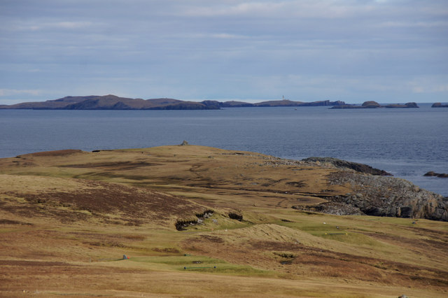
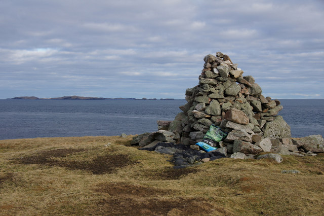
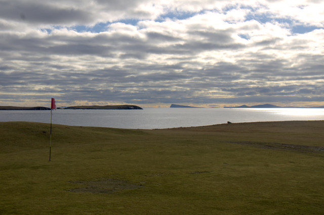
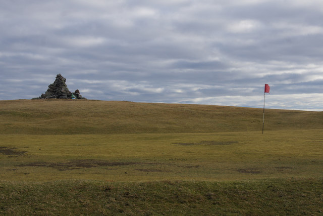
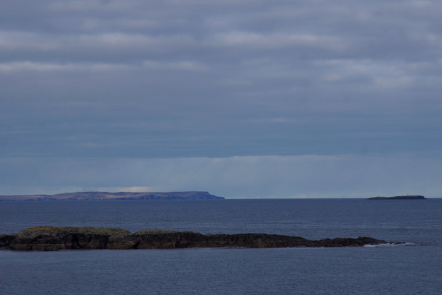
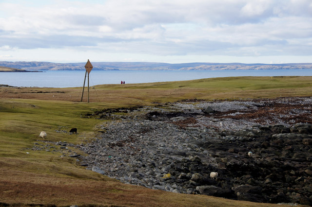
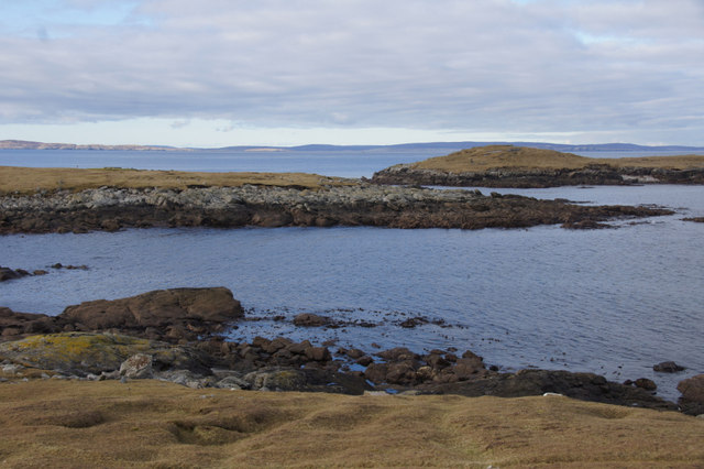
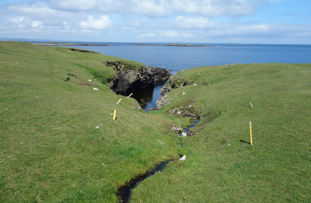
Ballamas Geo is a prominent coastal feature located in Shetland, a group of islands north of mainland Scotland. It is a headland that extends into the North Sea, forming a distinct point that juts out into the ocean.
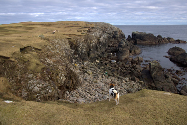
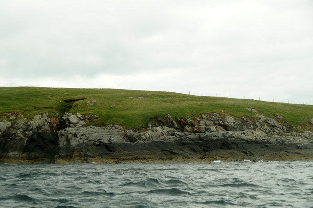
The headland is characterized by its rugged and rocky terrain, with steep cliffs and jagged edges that provide a dramatic backdrop to the surrounding landscape. The cliffs, which reach heights of up to 100 meters, are mainly composed of sandstone and shale, showcasing the geological diversity of the area.
Ballamas Geo is known for its natural beauty and is a popular destination for nature enthusiasts and hikers. The headland offers breathtaking views of the surrounding coastline, with sweeping vistas of the North Sea and the nearby islands. Visitors can also observe various seabirds that nest on the cliffs, including puffins, guillemots, and razorbills.
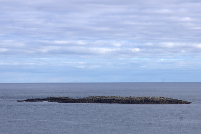
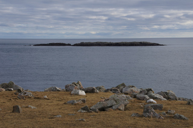
The coastal area surrounding Ballamas Geo is rich in marine life, making it a haven for fishing and diving enthusiasts. The crystal-clear waters are teeming with a diverse range of fish species, including cod, haddock, and mackerel. Divers can explore the underwater caves and rock formations, which are home to a variety of marine organisms such as sea anemones, starfish, and crabs.
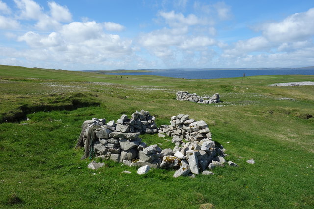
In addition to its natural beauty, Ballamas Geo also holds historical significance. The area is dotted with ancient archaeological sites, including Iron Age settlements and Viking remains, providing insights into the region's rich cultural heritage.
Overall, Ballamas Geo is a captivating coastal feature that showcases the raw beauty of Shetland's rugged coastline, offering a unique blend of natural wonders and historical treasures.
If you have any feedback on the listing, please let us know in the comments section below.
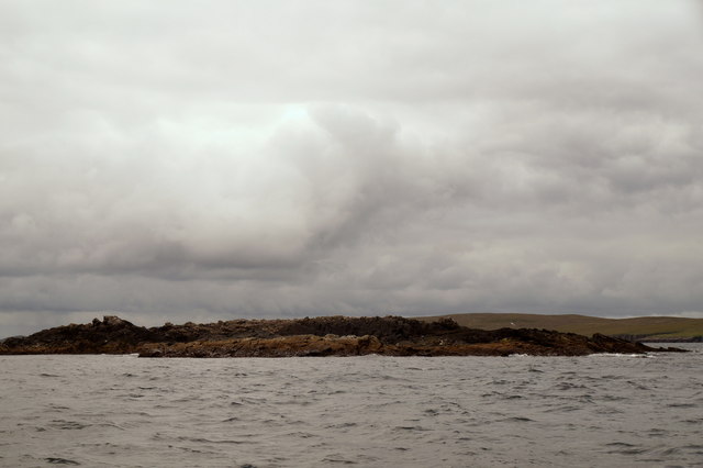
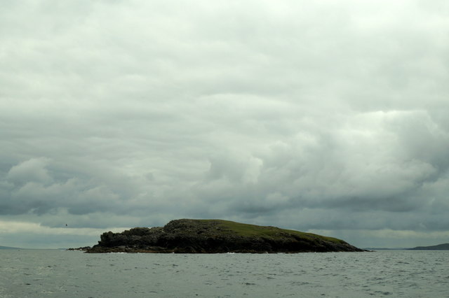
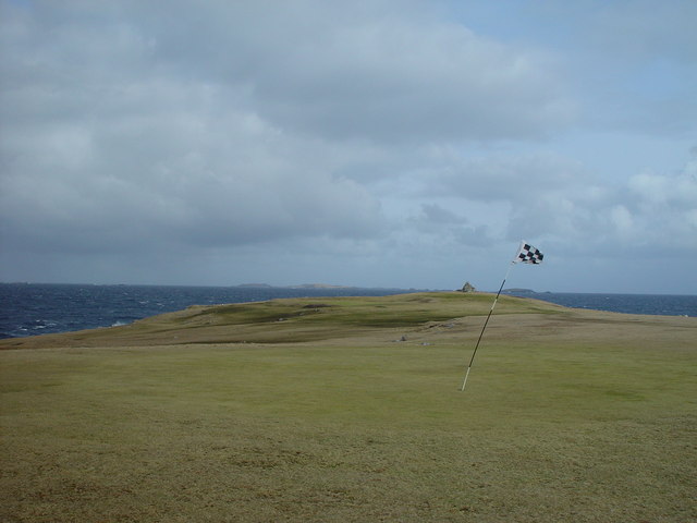
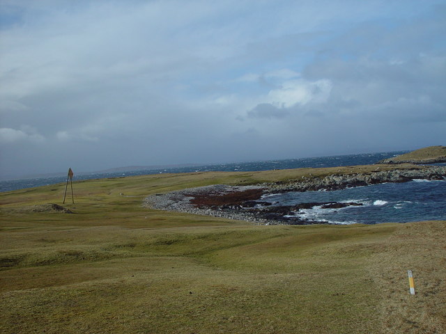
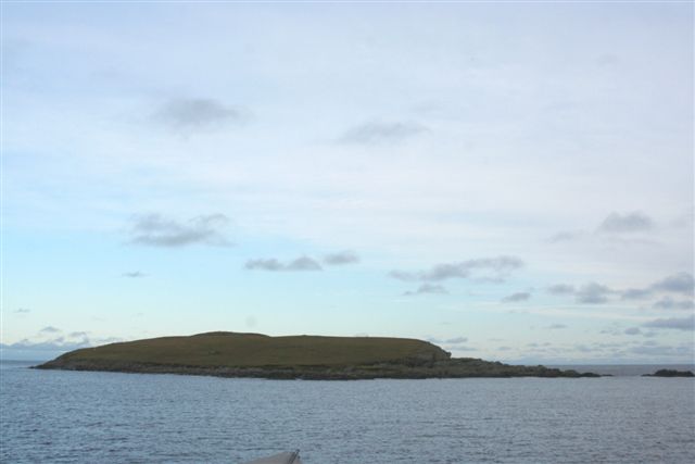
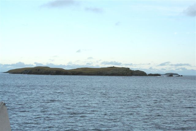
Ballamas Geo Images
Images are sourced within 2km of 60.376917/-0.9160762 or Grid Reference HU5966. Thanks to Geograph Open Source API. All images are credited.
Ballamas Geo is located at Grid Ref: HU5966 (Lat: 60.376917, Lng: -0.9160762)
Unitary Authority: Shetland Islands
Police Authority: Highlands and Islands
What 3 Words
///blackbird.tramps.spoon. Near Symbister, Shetland Islands
Related Wikis

Whalsay Airstrip
Whalsay Airstrip is located at the village of Skaw in the northern end of the island of Whalsay, Shetland, Scotland. It is the only airfield serving the...

Skaw, Whalsay
Skaw is a village in the extreme northeast of Whalsay in the parish of Nesting in the Shetland Islands of Scotland. It is mainly a crofting area. Whalsay...
Inner Holm of Skaw
The Inner Holm of Skaw is a small, uninhabited islet off the northern tip of the island of Whalsay, in the Shetland Islands of Scotland, north of the village...
Nista
Nista is a small islet of the Shetland Islands of Scotland, situated roughly 2 kilometres (1.2 mi) east off the coast of Whalsay. It lies to the north...
Outer Holm of Skaw
The Outer Holm of Skaw is a small, uninhabited islet, a rock outlier off the northeast coast of the island of Whalsay, in the Shetland Islands of Scotland...
Mooa
Mooa is a small islet of the Shetland Islands of Scotland, situated roughly 2 kilometres (1.2 mi) east off the coast of Whalsay. It lies to the north of...

Standing Stones of Yoxie
The Standing Stones of Yoxie is a Neolithic site in the parish of Nesting on the northeastern coast of Whalsay, in the Shetland islands of Scotland. It...
Benie Hoose
Benie Hoose, also Bunyie Hoose, is a Neolithic site in the parish of Nesting, northeastern Whalsay, in the Shetland Islands of Scotland. It is located...
Nearby Amenities
Located within 500m of 60.376917,-0.9160762Have you been to Ballamas Geo?
Leave your review of Ballamas Geo below (or comments, questions and feedback).