Quinni Geo

Coastal Feature, Headland, Point in Shetland

Scotland

Quinni Geo

Skaw Taing, Whalsay Out Skerries in the distance.
Skaw Taing, Whalsay Credit: Mike Pennington

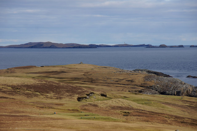
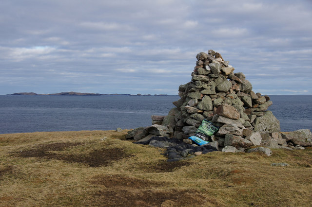
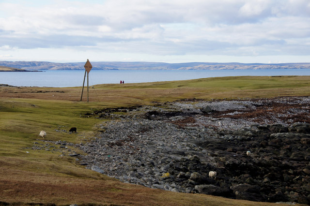
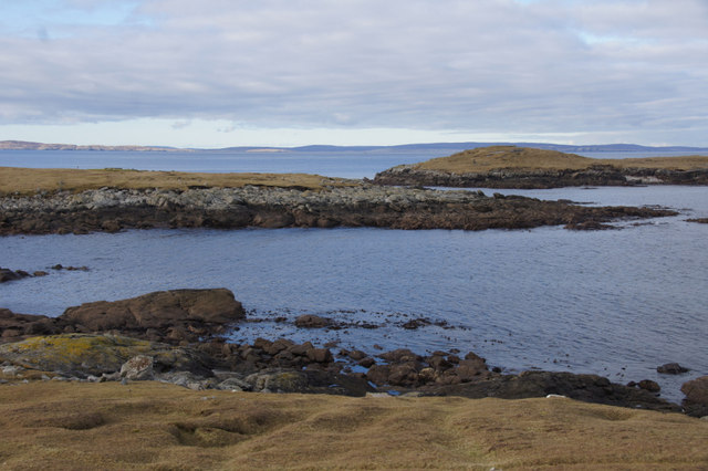
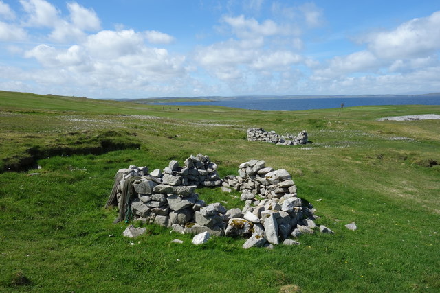
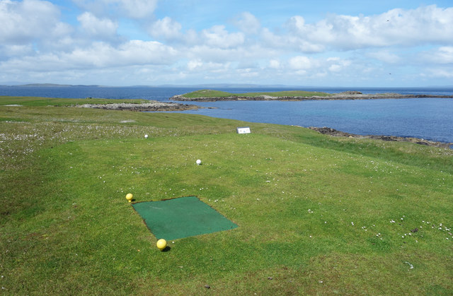
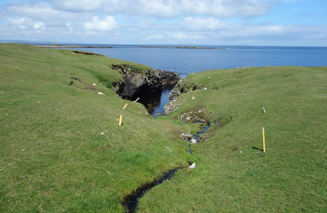
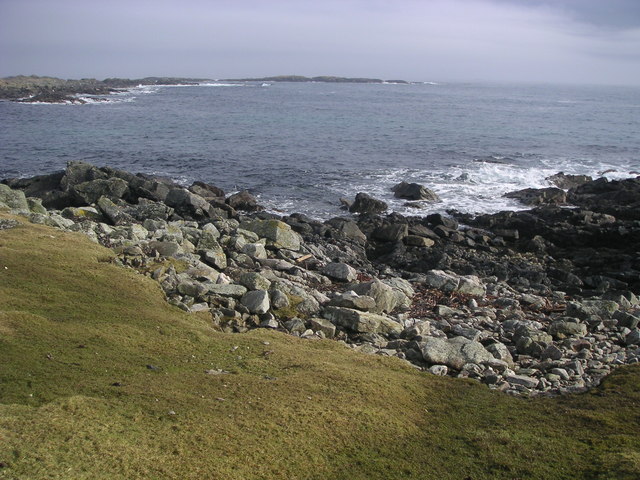
Quinni Geo is a prominent coastal feature located in the Shetland Islands, Scotland. It is primarily classified as a headland or point due to its distinct geographical characteristics.

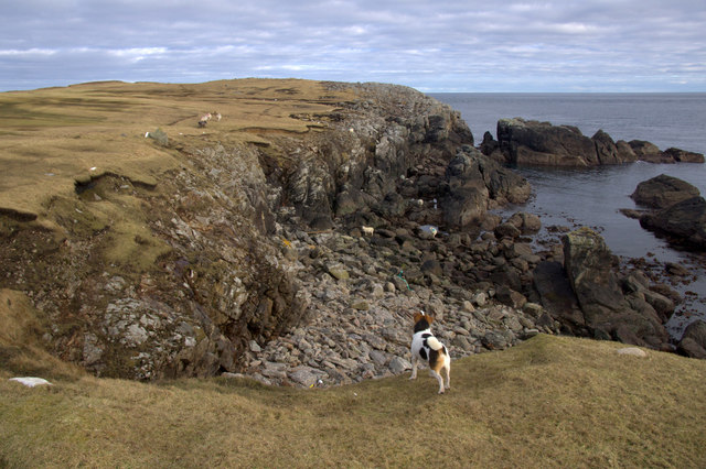
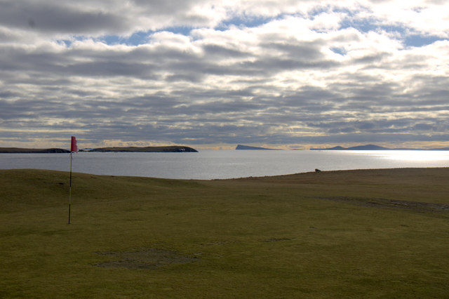
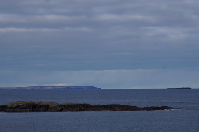
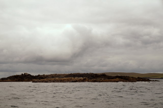
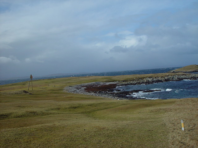
Situated on the eastern coast of Shetland, Quinni Geo juts out into the North Sea, offering breathtaking views of the surrounding landscape. The headland is characterized by its rugged cliffs, which rise steeply from the sea, creating an impressive spectacle for visitors. These towering cliffs are made up of layers of sedimentary rocks, showcasing the area's geological history.

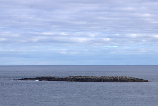
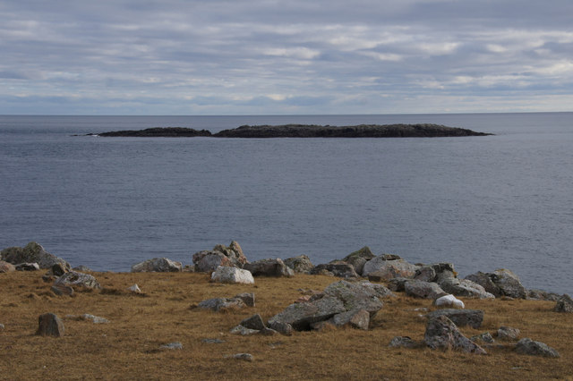
The coastal area around Quinni Geo is known for its diverse wildlife. Seabirds such as puffins, gannets, and kittiwakes can often be observed nesting on the cliff faces, making it a popular spot for birdwatching enthusiasts. In addition, seals and otters can sometimes be spotted in the waters below, adding to the area's natural charm.

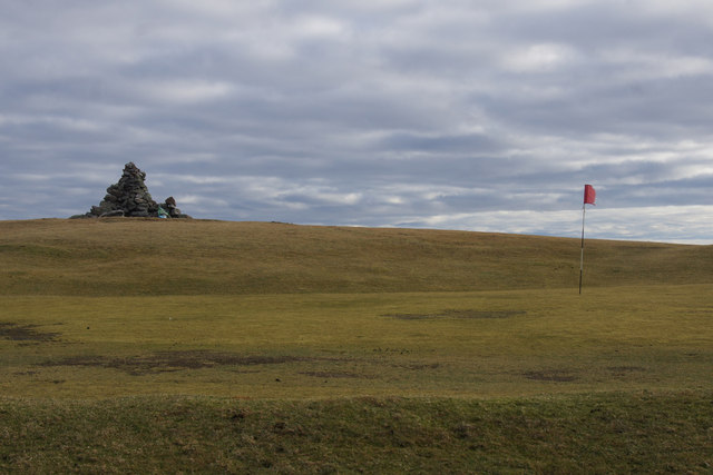
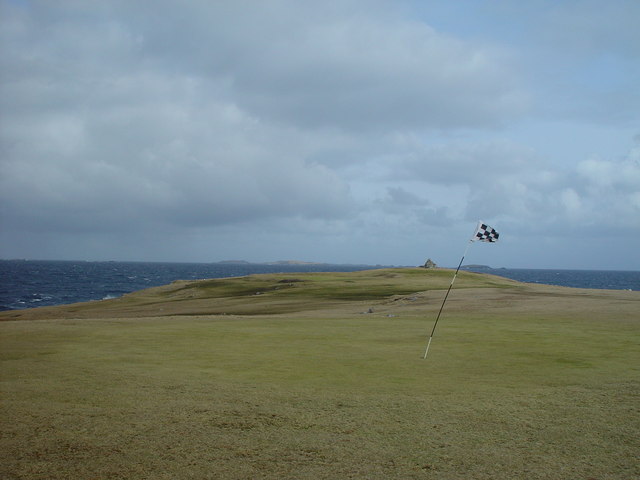
Access to Quinni Geo is relatively easy, with a well-maintained path leading visitors to the headland. The path offers stunning views of the surrounding coastline and provides an opportunity to explore the area's unique flora and fauna. However, caution is advised when near the cliff edge, as the terrain can be uneven and potentially hazardous.

Quinni Geo is a popular destination for hikers, photographers, and nature lovers alike. Its dramatic cliffs, abundant wildlife, and picturesque scenery make it an ideal spot to immerse oneself in the natural beauty of the Shetland Islands.

If you have any feedback on the listing, please let us know in the comments section below.

Quinni Geo Images

Images are sourced within 2km of 60.381023/-0.92631498 or Grid Reference HU5966. Thanks to Geograph Open Source API. All images are credited.

Skaw Taing, Whalsay Out Skerries in the distance.
Skaw Taing, Whalsay
Out Skerries in the distance.
Nacka Skerry, off Skaw, Whalsay
Millsie Geo, Skaw, Whalsay
Nacka Skerry from Skaw, Whalsay
Cairn at Skaw Taing, Whalsay Out Skerries in the background.
Cairn at Skaw Taing, Whalsay
Out Skerries in the background.
Outermost green on the Skaw golf course, Whalsay Noss and Bressay on the horizon.
Outermost green on the Skaw golf course, Whalsay
Noss and Bressay on the horizon.
Cairn and golf green at Skaw Taing, Whalsay
Outer Holm of Skaw, Whalsay In the distance, Fetlar on the left and Muckle Skerry on the right.
Outer Holm of Skaw, Whalsay
In the distance, Fetlar on the left and Muckle Skerry on the right.
Easter Netlar, Skaw, Whalsay The pole marks the point where the sub-sea electricity cable leaves for Out Skerries.
Easter Netlar, Skaw, Whalsay
The pole marks the point where the sub-sea electricity cable leaves for Out Skerries.
View across Easter Netlar to Sponger Point and Inner Holm of Skaw
Planticrubs near the Sea Old enclosures for vegetable cultivation.
Planticrubs near the Sea
Old enclosures for vegetable cultivation.
Golf by the Sea The golf ball loss on this course must be considerable. Just walking around the edge we were finding balls all over the place in streams and rock pools. That's not counting the ones that have sunk in a bog or are rolling around on the sea bed.
This is the northernmost point of Whalsay, with the Inner Holm of Skaw beyond.
Golf by the Sea
The golf ball loss on this course must be considerable. Just walking around the edge we were finding balls all over the place in streams and rock pools. That's not counting the ones that have sunk in a bog or are rolling around on the sea bed. This is the northernmost point of Whalsay, with the Inner Holm of Skaw beyond.
Small Stream at Pundsi Geo Another water hazard for the golfers on Whalsay Golf Course, this rivulet drains a small pond right out on the headland. It's a tiny catchment, can't be more than a few hundred square metres, but it's flowing nicely.
Small Stream at Pundsi Geo
Another water hazard for the golfers on Whalsay Golf Course, this rivulet drains a small pond right out on the headland. It's a tiny catchment, can't be more than a few hundred square metres, but it's flowing nicely.
Nacka Skerry, Whalsay
Skaw Taing, Whalsay, Shetland The 11th green on the Whalsay Golf Club with the cairn at Skaw Taing behind and the islands of Out Skerries on the skyline.
Skaw Taing, Whalsay, Shetland
The 11th green on the Whalsay Golf Club with the cairn at Skaw Taing behind and the islands of Out Skerries on the skyline.
Easter Netlar, Whalsay, Shetland The small bay of Easter Netlar, with the marker pole showing where the electricity  cable to the Out Skerries goes into the sea.
Easter Netlar, Whalsay, Shetland
The small bay of Easter Netlar, with the marker pole showing where the electricity cable to the Out Skerries goes into the sea.
Rocky beach at Easter Netlar, Whalsay.
Nacka Skerry
Nacka Skerry
Show me another place!

Quinni Geo is located at Grid Ref: HU5966 (Lat: 60.381023, Lng: -0.92631498)

Unitary Authority: Shetland Islands

Police Authority: Highlands and Islands

What 3 Words

///bonfires.penny.sedative. Near Symbister, Shetland Islands

Related Wikis

Skaw, Whalsay

Skaw is a village in the extreme northeast of Whalsay in the parish of Nesting in the Shetland Islands of Scotland. It is mainly a crofting area. Whalsay...

Whalsay Airstrip

Whalsay Airstrip is located at the village of Skaw in the northern end of the island of Whalsay, Shetland, Scotland. It is the only airfield serving the...

Inner Holm of Skaw

The Inner Holm of Skaw is a small, uninhabited islet off the northern tip of the island of Whalsay, in the Shetland Islands of Scotland, north of the village...

Outer Holm of Skaw

The Outer Holm of Skaw is a small, uninhabited islet, a rock outlier off the northeast coast of the island of Whalsay, in the Shetland Islands of Scotland...

West Loch of Skaw

West Loch of Skaw is a loch of northern-central Whalsay, Shetland Islands, Scotland, to the southwest of the village of Skaw, Whalsay. == References ==

Pettigarths Field Cairns

The Pettigarths Field Cairns is a Neolithic site in the parish of Nesting, northeastern Whalsay, in the Shetland islands of Scotland. It is located approximately...

Standing Stones of Yoxie

The Standing Stones of Yoxie is a Neolithic site in the parish of Nesting on the northeastern coast of Whalsay, in the Shetland islands of Scotland. It...

Benie Hoose

Benie Hoose, also Bunyie Hoose, is a Neolithic site in the parish of Nesting, northeastern Whalsay, in the Shetland Islands of Scotland. It is located...

Nearby Amenities

Located within 500m of 60.381023,-0.92631498
Passing Place
Lat/Long: 60.3792766/-0.9291975
Power: pole
Lat/Long: 60.3806258/-0.9173121
Power: pole
Lat/Long: 60.3803308/-0.9184888
Power: pole
Lat/Long: 60.3800262/-0.9196823
Power: pole
Lat/Long: 60.3797382/-0.9207894
Power: pole
Lat/Long: 60.3794129/-0.9220498
Power: pole
Lat/Long: 60.3792806/-0.923352
Power: pole
Lat/Long: 60.3791276/-0.9248801
Power: pole
Lat/Long: 60.3788396/-0.927769
Power: pole
Lat/Long: 60.3786411/-0.9294533
Power: pole
Lat/Long: 60.3781394/-0.9297461
Power: pole
Lat/Long: 60.3794653/-0.92802
Power: pole
Lat/Long: 60.3792916/-0.9289374
Power: pole
Lat/Long: 60.3789953/-0.9299943
Power: pole
Lat/Long: 60.3776956/-0.9310539
The data included in this document is from www.openstreetmap.org. The data is made available under ODbL.

Have you been to Quinni Geo?

Leave your review of Quinni Geo below (or comments, questions and feedback).