Lade Geos
Coastal Feature, Headland, Point in Shetland
Scotland
Lade Geos
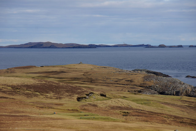
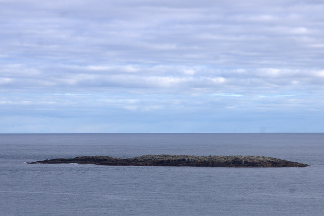
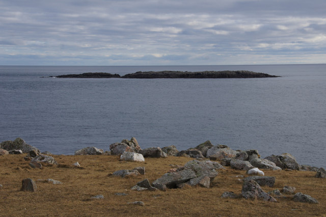
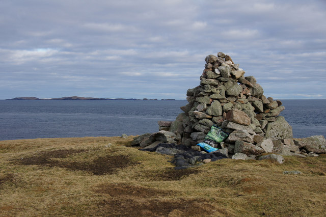
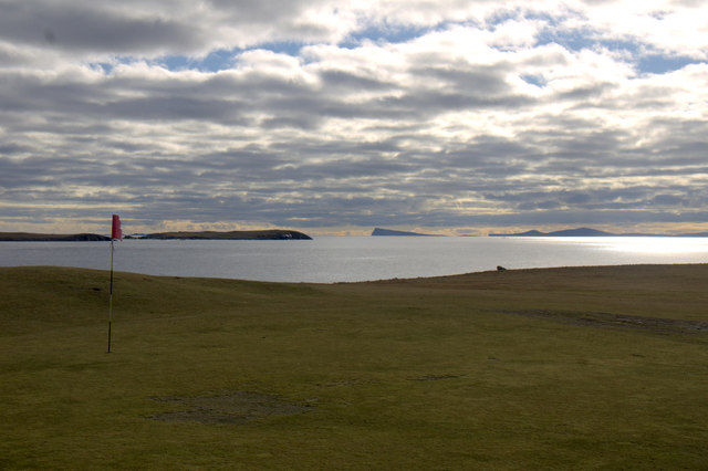
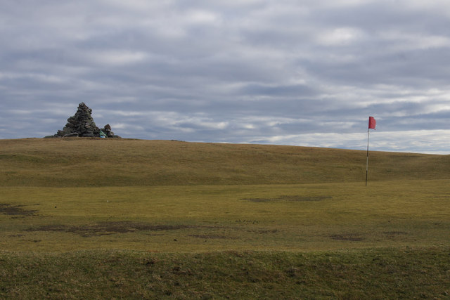
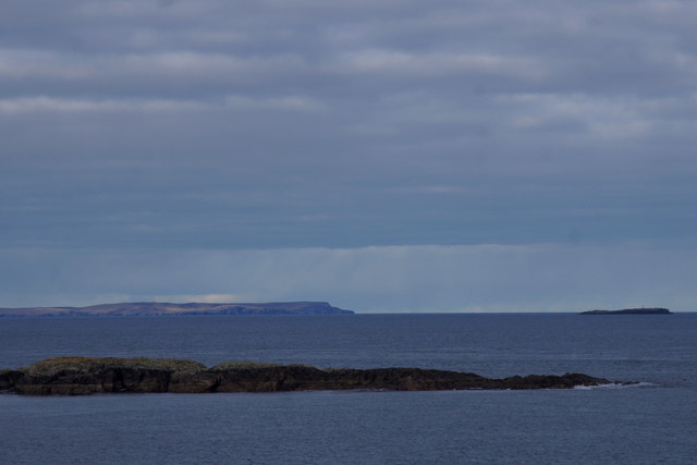
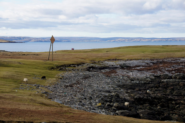
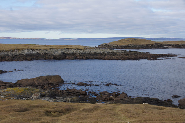
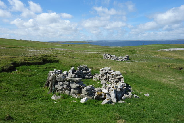
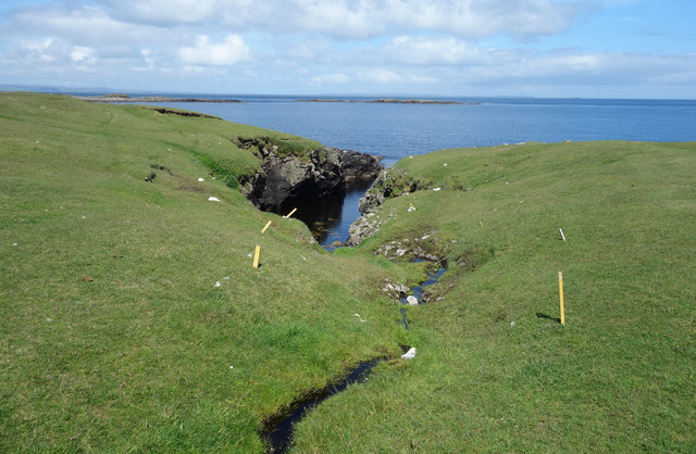
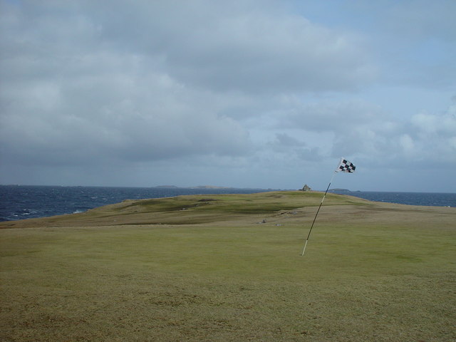
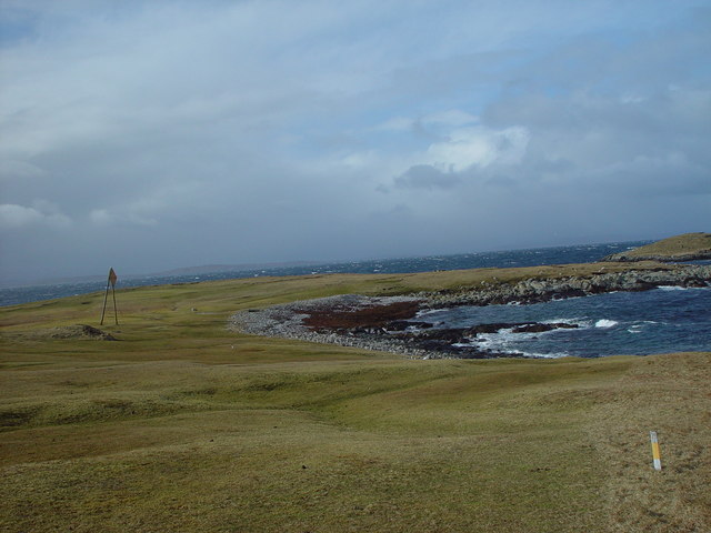
Lade Geos is a prominent coastal feature located in the Shetland Islands, Scotland. It is a headland that juts out into the North Sea, offering breathtaking views of the surrounding rugged coastline. Situated on the eastern coast of the Shetland mainland, Lade Geos is known for its dramatic cliffs and rocky terrain.
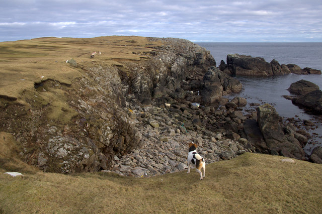
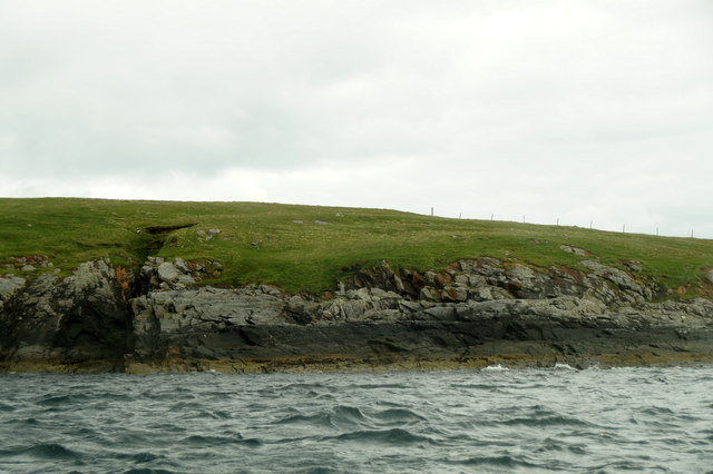
The headland is characterized by its towering cliffs, which rise up to impressive heights and create a picturesque backdrop against the crashing waves below. The cliffs are composed of layers of sedimentary rocks, showcasing the geological history of the region. The exposed rocks reveal fascinating formations and fossils, providing valuable insights into the island's past.
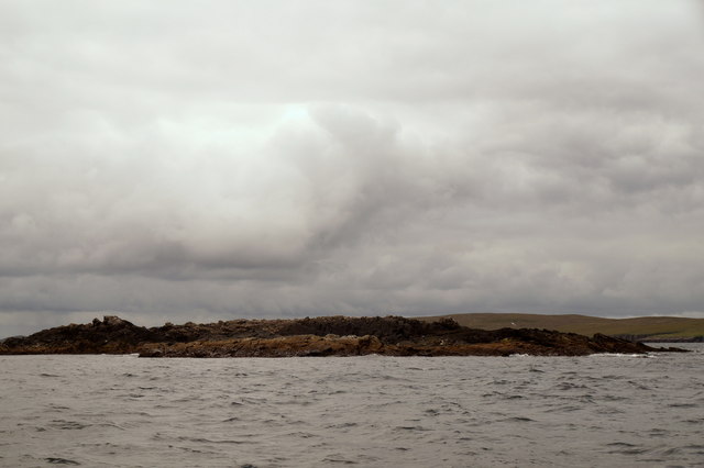
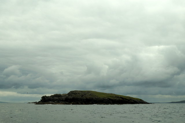
Lade Geos is also home to a diverse range of wildlife, including seabirds such as fulmars, kittiwakes, and guillemots. Their presence adds to the natural beauty of the area, as they gracefully soar above the cliffs and nest in the crevices.
Access to Lade Geos is possible via a well-maintained footpath that winds along the cliffs, offering visitors the opportunity to explore the headland and admire the stunning scenery. It is a popular spot for hiking and birdwatching, attracting both locals and tourists alike.
The location of Lade Geos offers a prime vantage point for witnessing the power of the North Sea. The crashing waves against the rugged cliffs create a mesmerizing spectacle, especially during stormy weather when the sea is particularly fierce.
Overall, Lade Geos is a captivating coastal feature in the Shetland Islands, showcasing the raw beauty of Scotland's northern coastline and providing a haven for wildlife enthusiasts and nature lovers.
If you have any feedback on the listing, please let us know in the comments section below.
Lade Geos Images
Images are sourced within 2km of 60.375644/-0.91960049 or Grid Reference HU5966. Thanks to Geograph Open Source API. All images are credited.
Lade Geos is located at Grid Ref: HU5966 (Lat: 60.375644, Lng: -0.91960049)
Unitary Authority: Shetland Islands
Police Authority: Highlands and Islands
What 3 Words
///topped.proposals.hampers. Near Symbister, Shetland Islands
Nearby Locations
Related Wikis

Whalsay Airstrip
Whalsay Airstrip is located at the village of Skaw in the northern end of the island of Whalsay, Shetland, Scotland. It is the only airfield serving the...

Skaw, Whalsay
Skaw is a village in the extreme northeast of Whalsay in the parish of Nesting in the Shetland Islands of Scotland. It is mainly a crofting area. Whalsay...
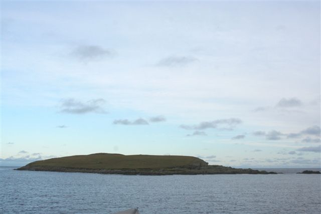
Inner Holm of Skaw
The Inner Holm of Skaw is a small, uninhabited islet off the northern tip of the island of Whalsay, in the Shetland Islands of Scotland, north of the village...

Standing Stones of Yoxie
The Standing Stones of Yoxie is a Neolithic site in the parish of Nesting on the northeastern coast of Whalsay, in the Shetland islands of Scotland. It...
Benie Hoose
Benie Hoose, also Bunyie Hoose, is a Neolithic site in the parish of Nesting, northeastern Whalsay, in the Shetland Islands of Scotland. It is located...
Pettigarths Field Cairns
The Pettigarths Field Cairns is a Neolithic site in the parish of Nesting, northeastern Whalsay, in the Shetland islands of Scotland. It is located approximately...
Nista
Nista is a small islet of the Shetland Islands of Scotland, situated roughly 2 kilometres (1.2 mi) east off the coast of Whalsay. It lies to the north...
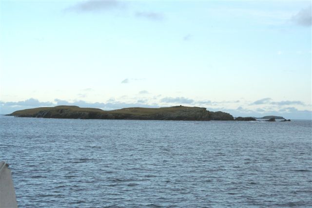
Mooa
Mooa is a small islet of the Shetland Islands of Scotland, situated roughly 2 kilometres (1.2 mi) east off the coast of Whalsay. It lies to the north of...
Nearby Amenities
Located within 500m of 60.375644,-0.91960049Have you been to Lade Geos?
Leave your review of Lade Geos below (or comments, questions and feedback).