Bu Ness
Coastal Feature, Headland, Point in Shetland
Scotland
Bu Ness
Bu Ness is a prominent headland located on the northwest coast of the Shetland Islands, an archipelago situated off the northeastern coast of Scotland. It is positioned in close proximity to the village of Brae, which lies about 1.5 miles to the south.
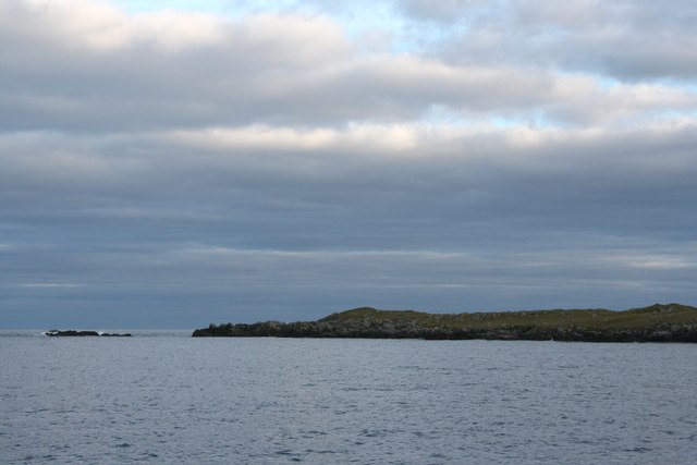
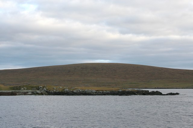
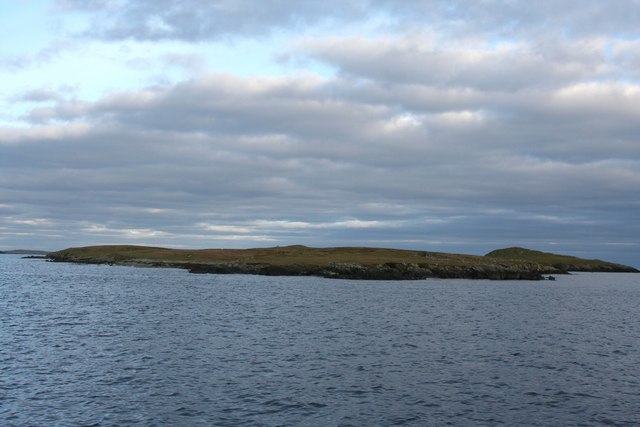
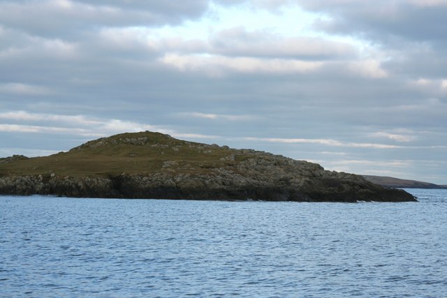
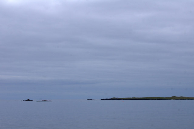
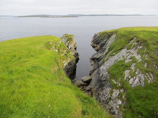
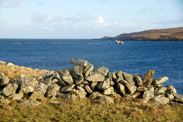
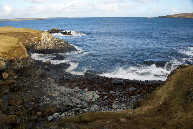
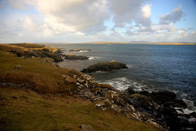
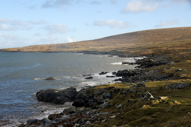
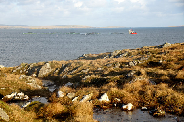
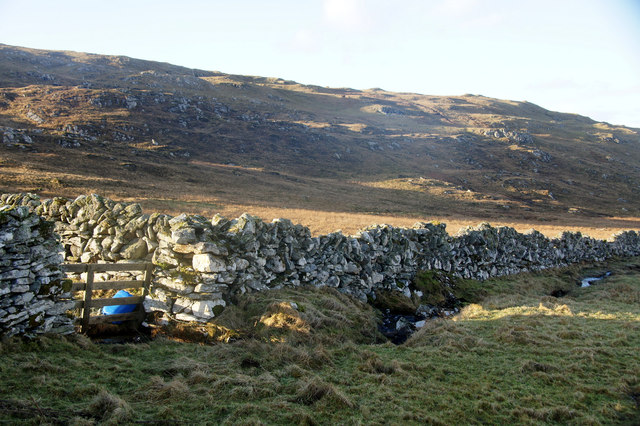
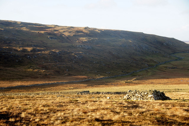
This coastal feature is characterized by its rugged and rocky terrain, with steep cliffs that rise dramatically from the sea. The cliffs at Bu Ness offer breathtaking views of the surrounding coastline and the open North Atlantic Ocean. The headland itself extends into the sea, forming a distinctive point that juts out into the water. This geographical formation provides a natural barrier against the powerful waves and currents of the ocean.
Bu Ness is renowned for its diverse wildlife, both on land and in the surrounding waters. The headland serves as a habitat for a variety of bird species, including puffins, gannets, and fulmars. Seals can often be spotted basking on the rocks, while otters occasionally make appearances along the shoreline.
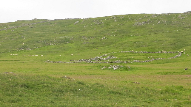
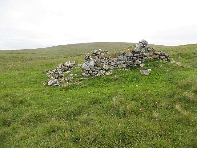
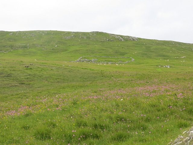
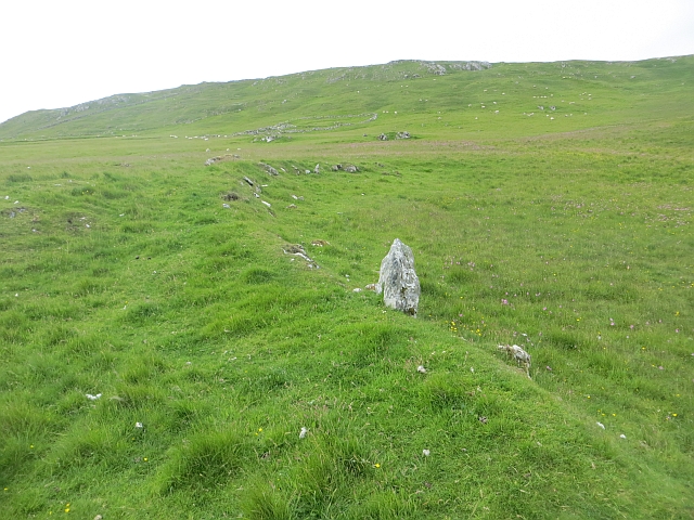
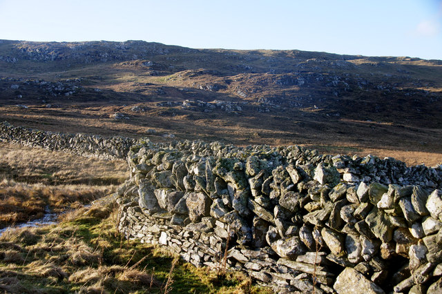
The area surrounding Bu Ness is also of historical significance. Archaeological evidence suggests that the headland was inhabited as early as the Iron Age, with the remains of ancient settlements and structures still visible today. The strategic location of Bu Ness may have played a role in its historical importance, as it provided a vantage point for monitoring the coastline and the sea.
Overall, Bu Ness is a captivating coastal feature in Shetland, offering stunning natural beauty, diverse wildlife, and an intriguing historical past. It is a popular destination for nature enthusiasts, hikers, and those seeking to immerse themselves in the unique landscape of the Shetland Islands.
If you have any feedback on the listing, please let us know in the comments section below.
Bu Ness Images
Images are sourced within 2km of 60.626382/-0.91133521 or Grid Reference HU5994. Thanks to Geograph Open Source API. All images are credited.
Bu Ness is located at Grid Ref: HU5994 (Lat: 60.626382, Lng: -0.91133521)
Unitary Authority: Shetland Islands
Police Authority: Highlands and Islands
What 3 Words
///parked.rice.repeated. Near Houbie, Shetland Islands
Nearby Locations
Related Wikis

Urie Lingey
For other islands with similar names, see Linga (disambiguation) Urie Lingey is one of the Shetland Islands. It is between Fetlar and Unst, and Yell is...

Hamars Ness
Hamars Ness is a headland on the island of Fetlar in Shetland, Scotland. The name is from the Old Norse Hamarsnes meaning "craggy headland". A ro-ro ferry...

Brough Lodge
Brough Lodge is a 19th-century Gothic mansion on Fetlar, one of the Shetland Islands, in northern Scotland. Built by the Nicolson family, who were responsible...

Funzie Girt
Funzie Girt (; Scots: Funyie Girt "Finns' dyke") is an ancient dividing wall that was erected from north to south across the island of Fetlar in Shetland...

Sound Gruney
For other islands with similar names, see Gruney (disambiguation) Sound Gruney is one of the Shetland islands. It lies about 1.5 kilometres (0.93 mi)...

Haltadans
Haltadans, also known as Fairy Ring or Haltadans stone circle, is a stone circle on the island of Fetlar in Shetland, Scotland. This site is a ring of...

Fetlar
Fetlar (Scots: Fetlar) is one of the North Isles of Shetland, Scotland, with a usually resident population of 61 at the time of the 2011 census. Its main...

Hascosay
Hascosay (Scots: Hascosay; Old Norse "Hafskotsey") is a small island lying between Yell and Fetlar in the Shetland Islands, Scotland. == Geography and... ==
Nearby Amenities
Located within 500m of 60.626382,-0.91133521Have you been to Bu Ness?
Leave your review of Bu Ness below (or comments, questions and feedback).